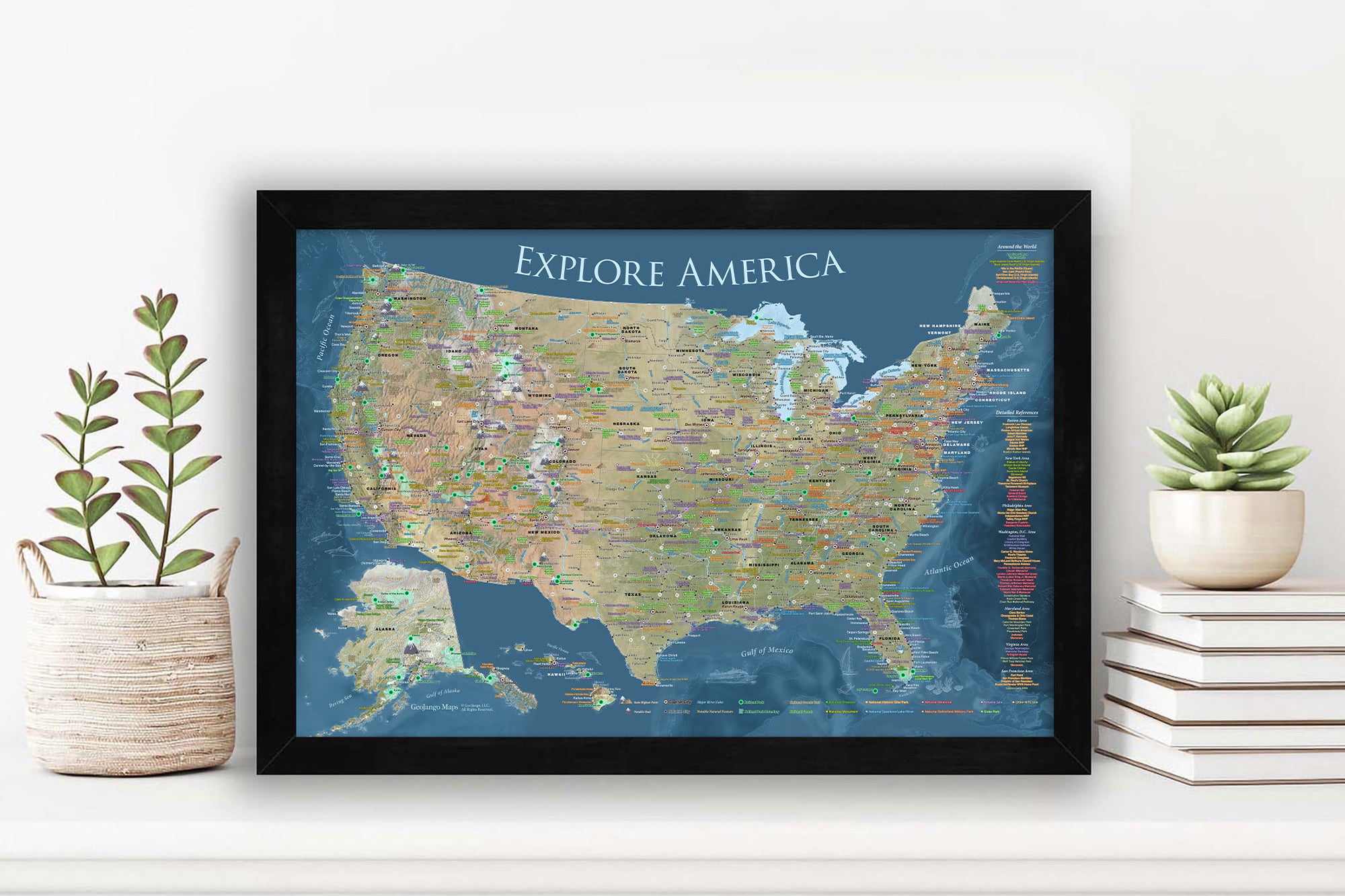
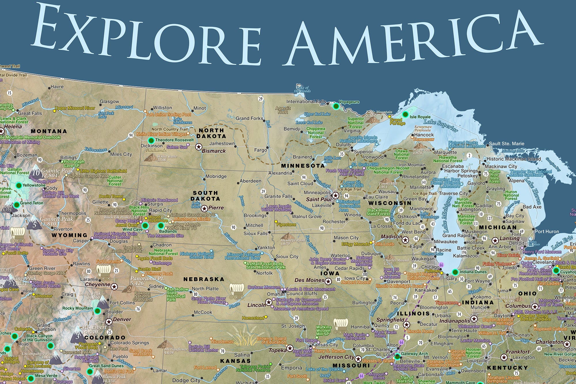
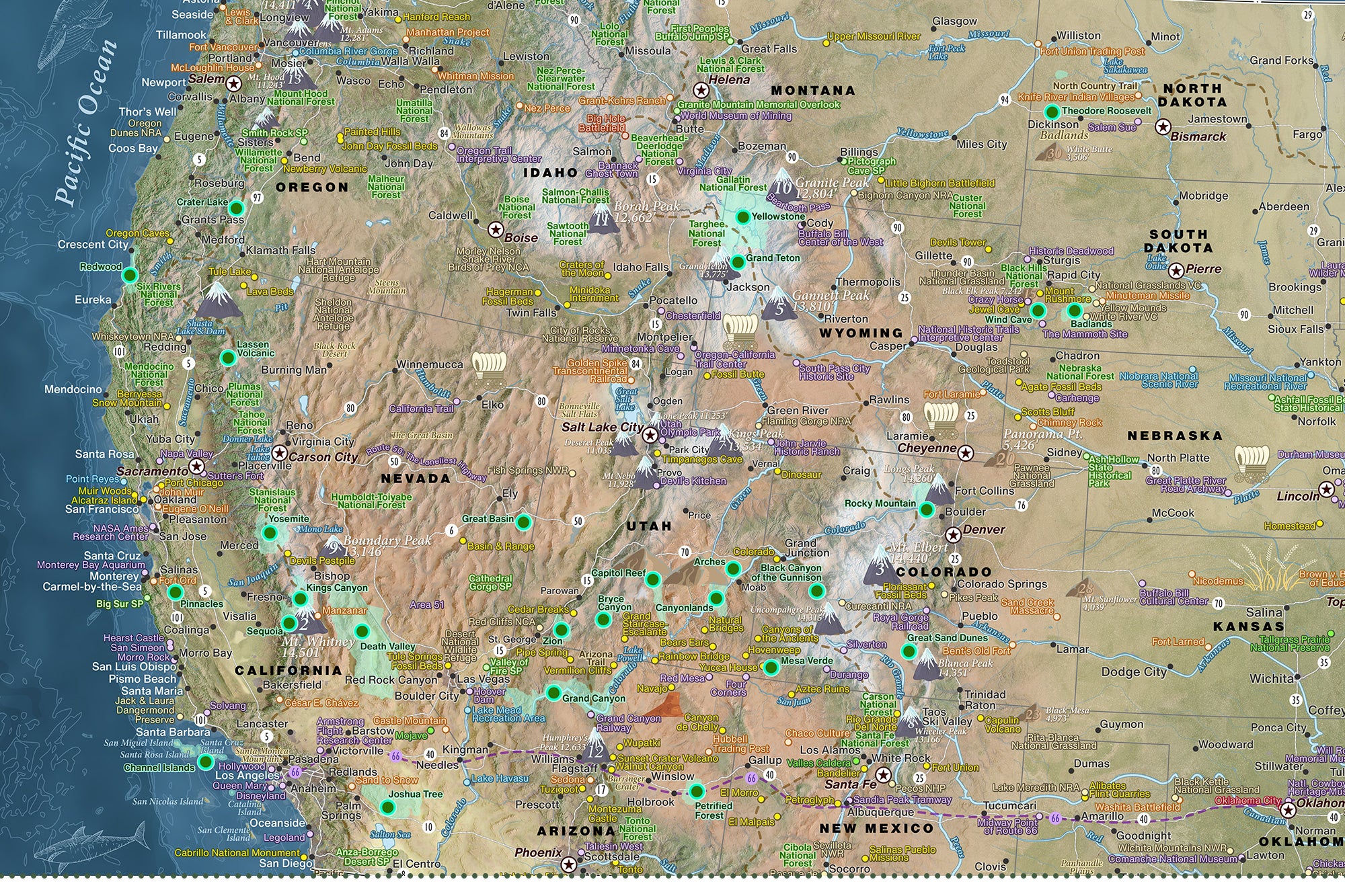
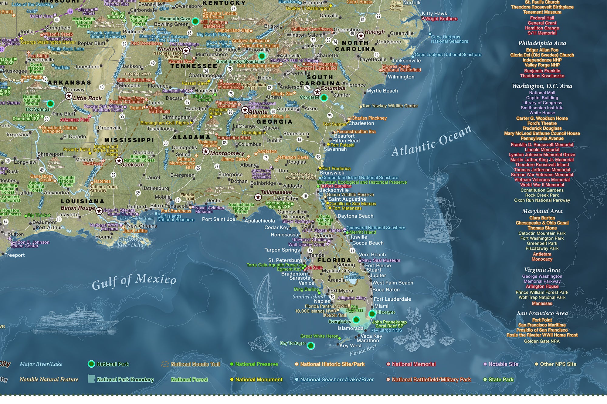
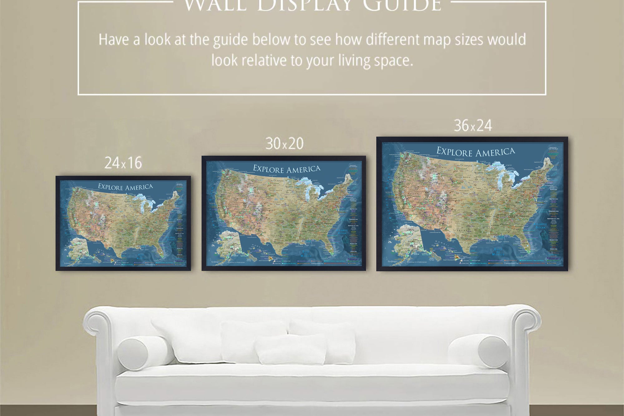
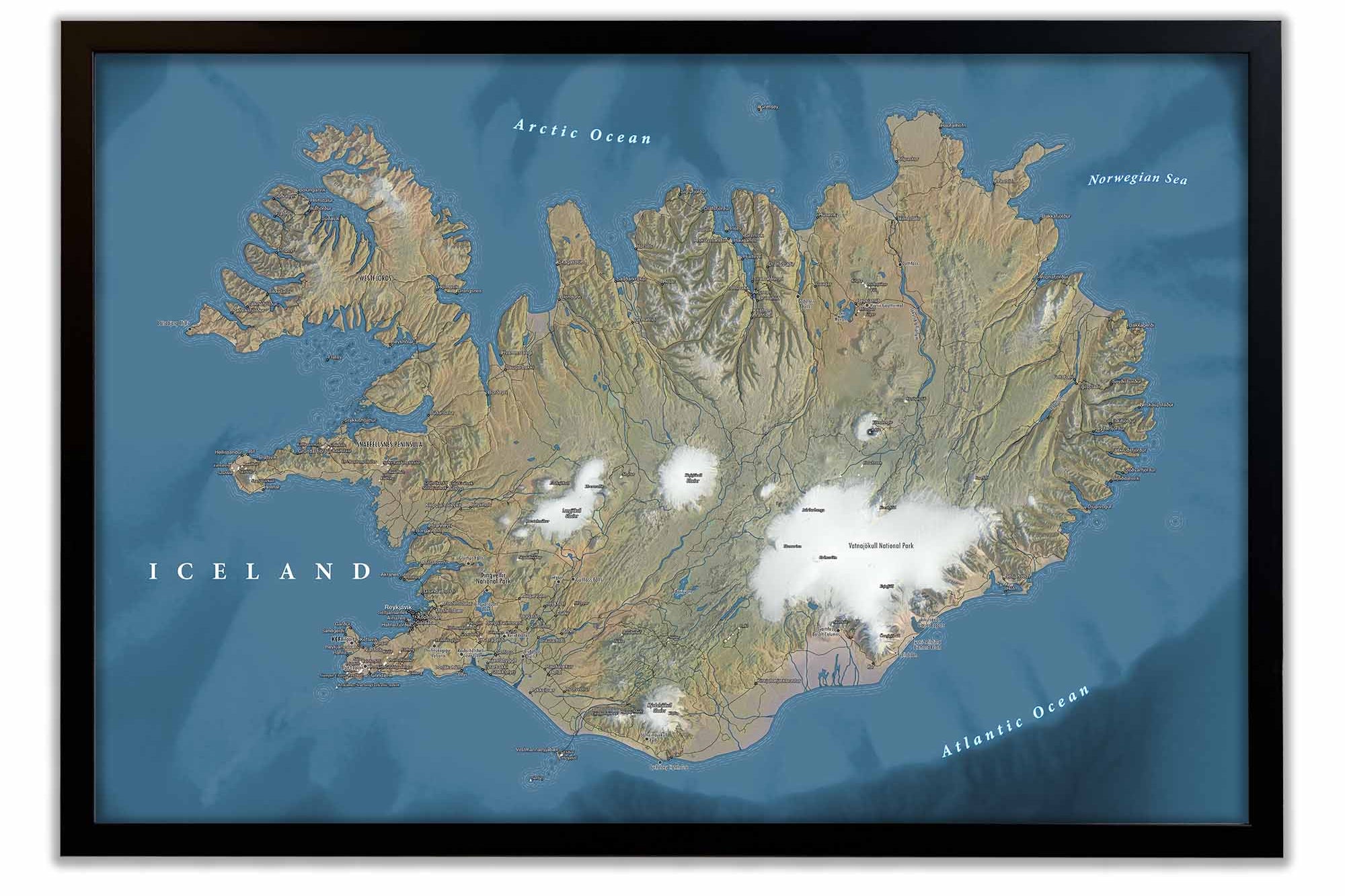
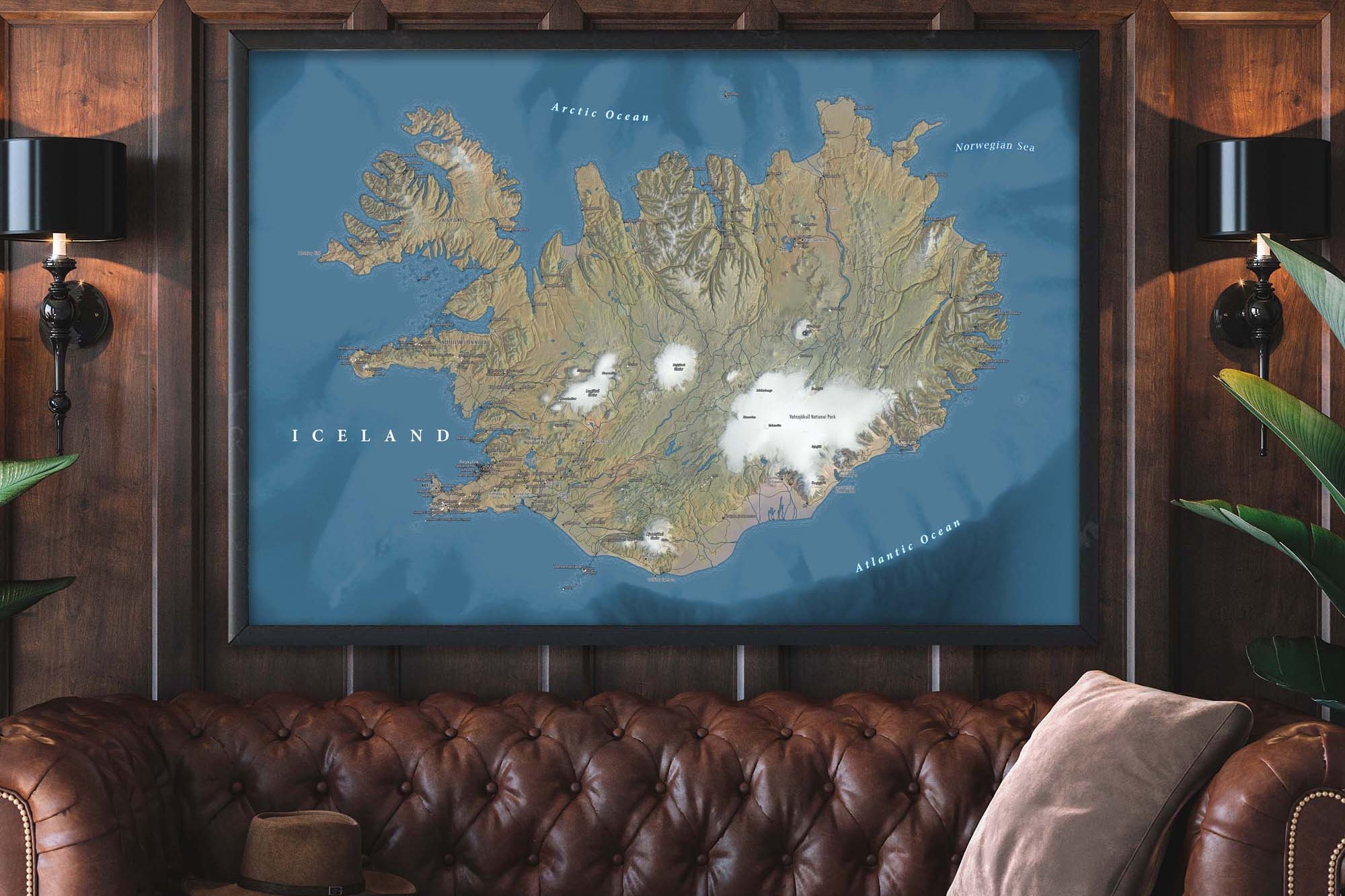
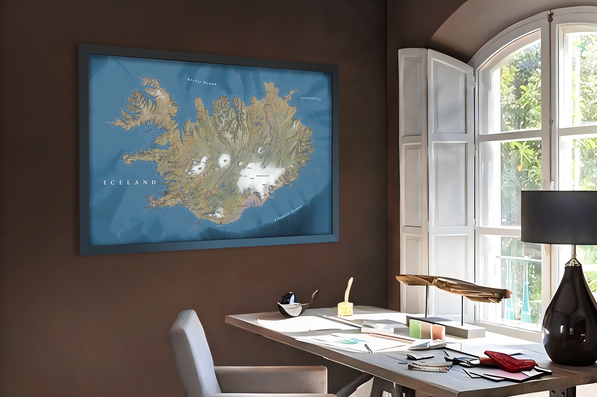
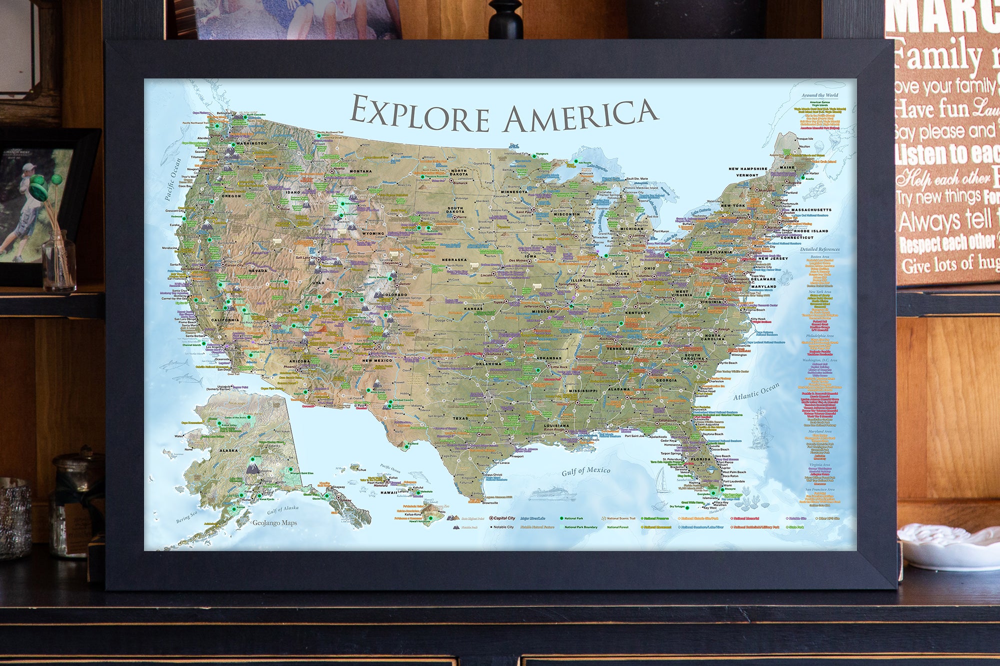
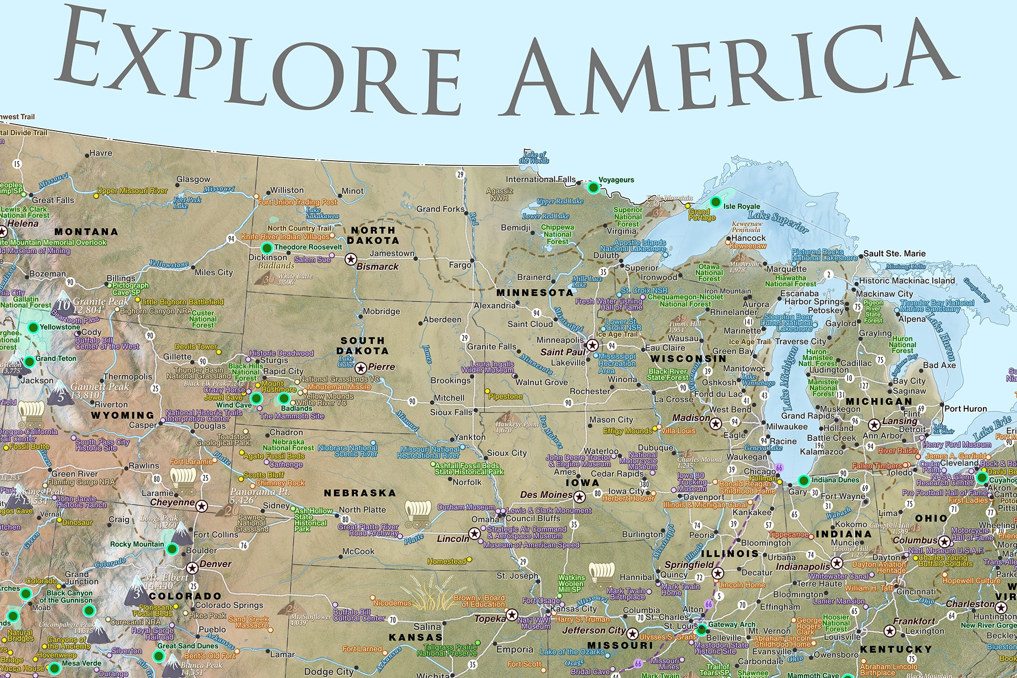
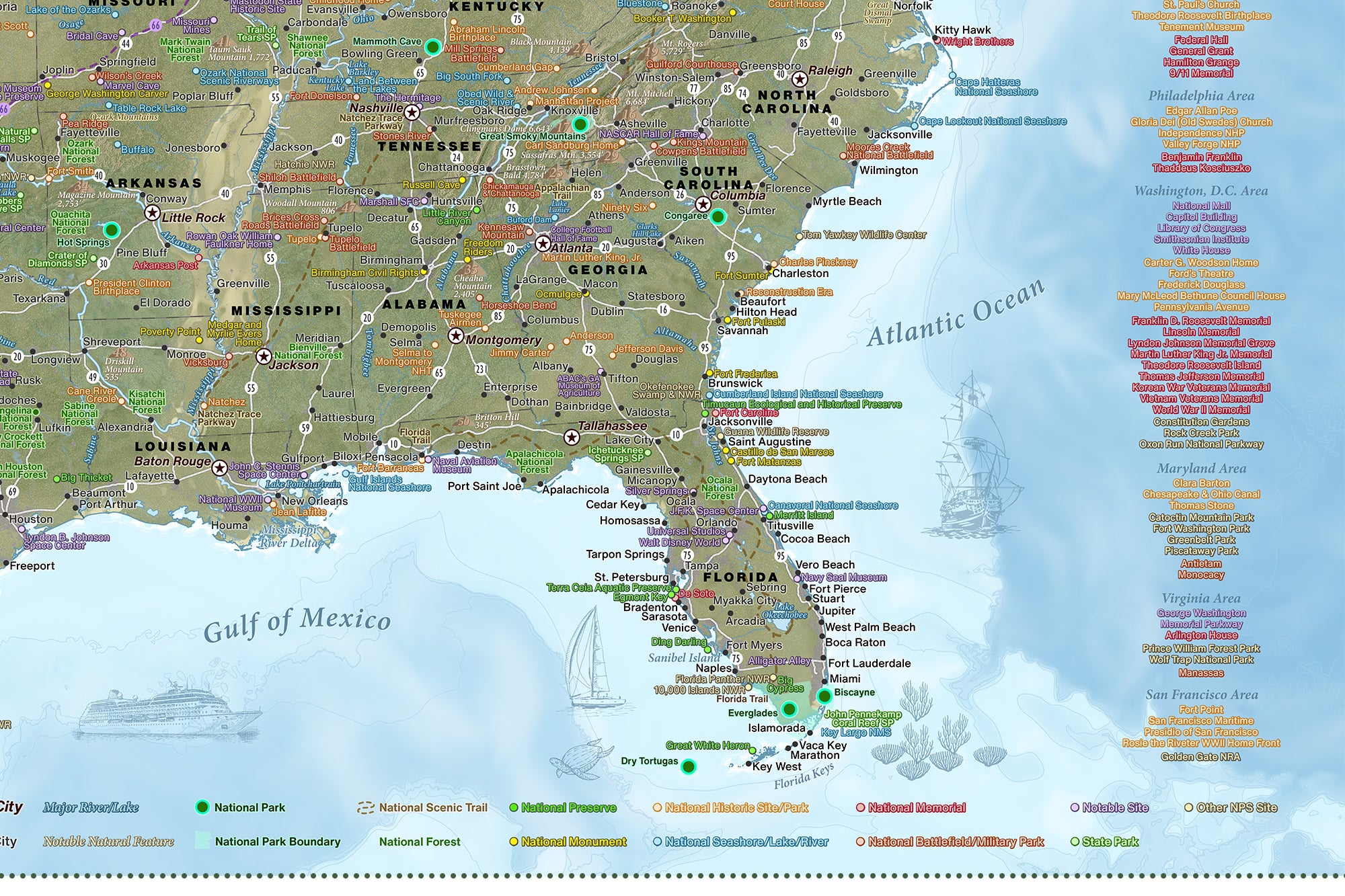
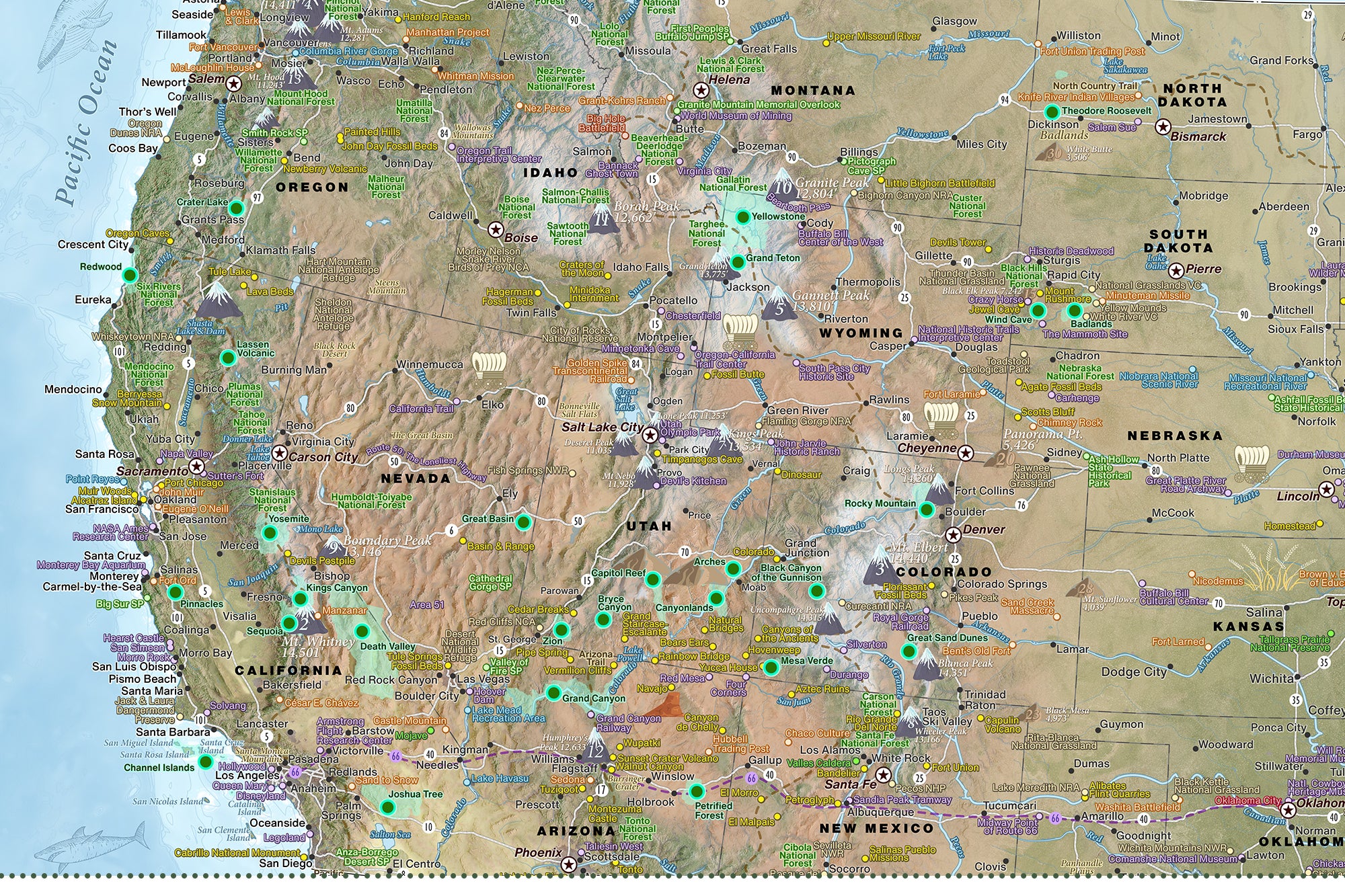
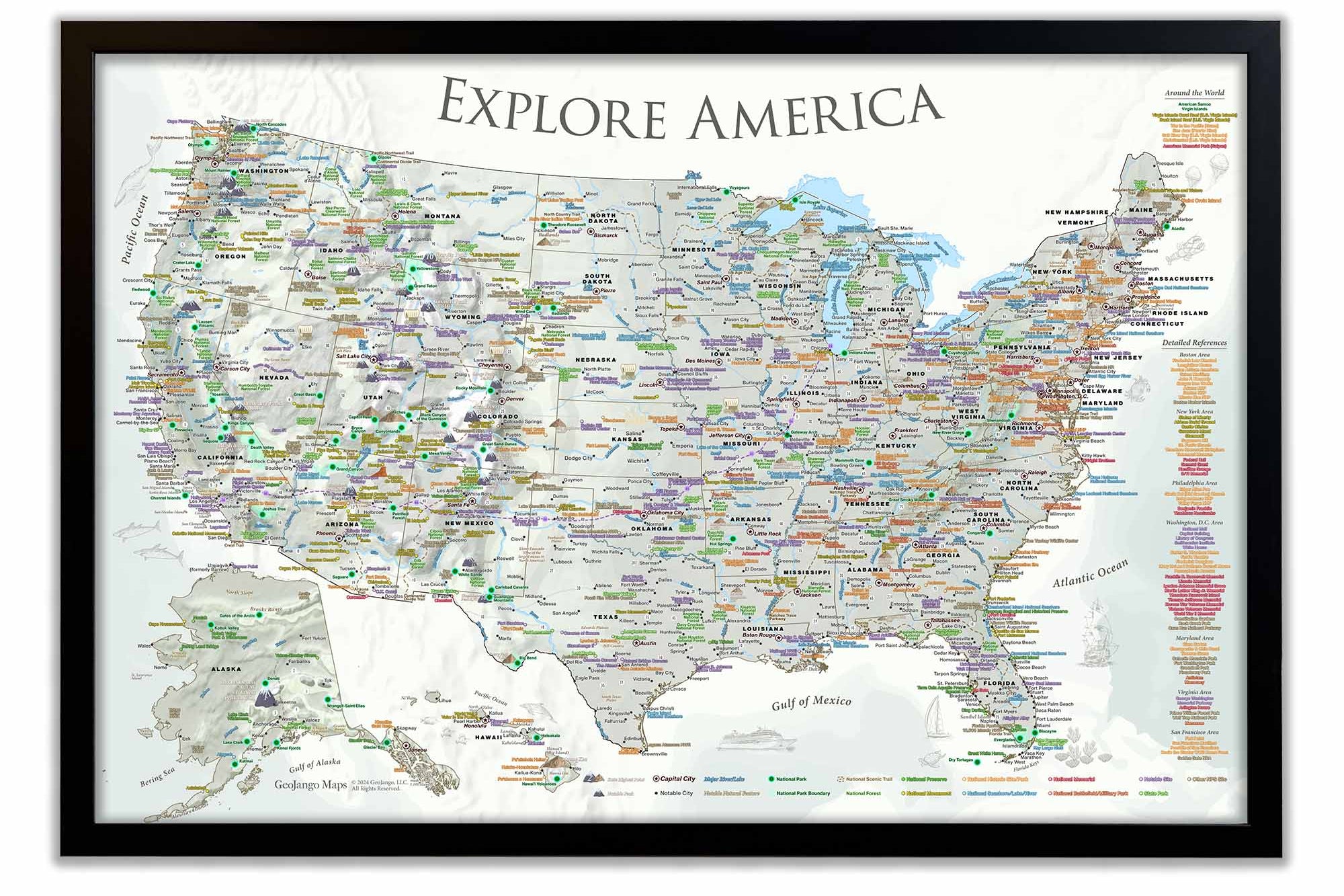
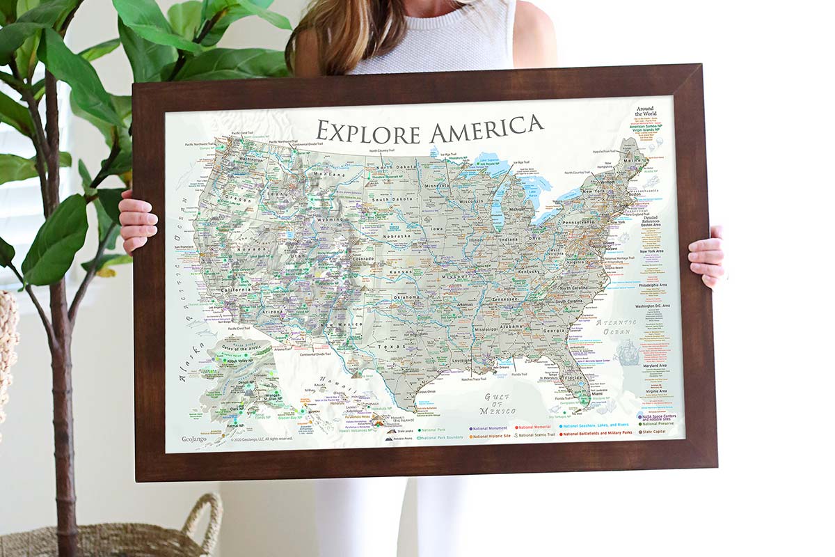
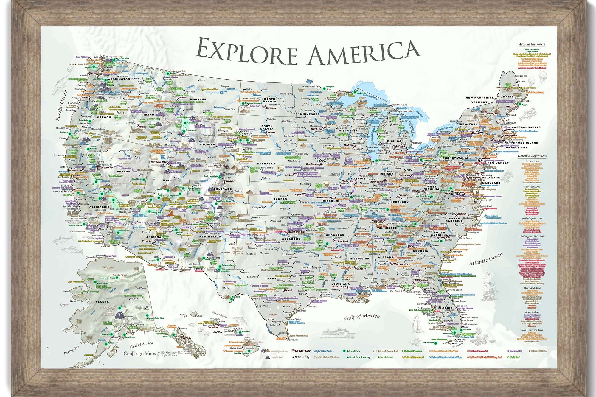
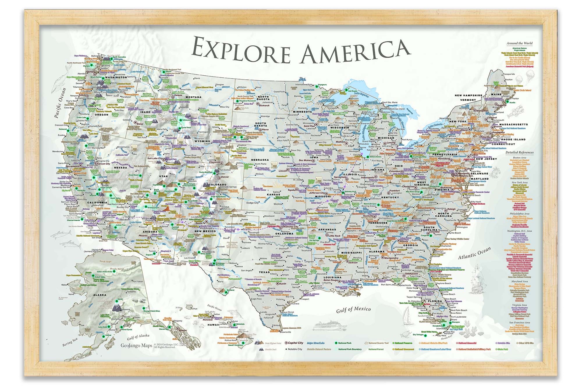
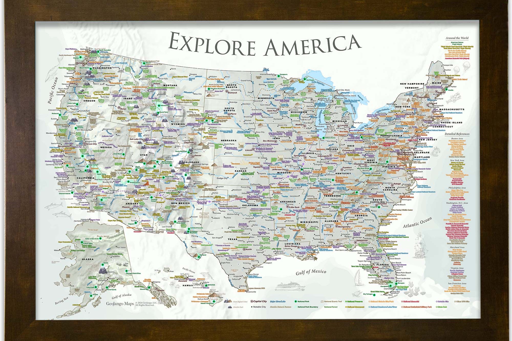
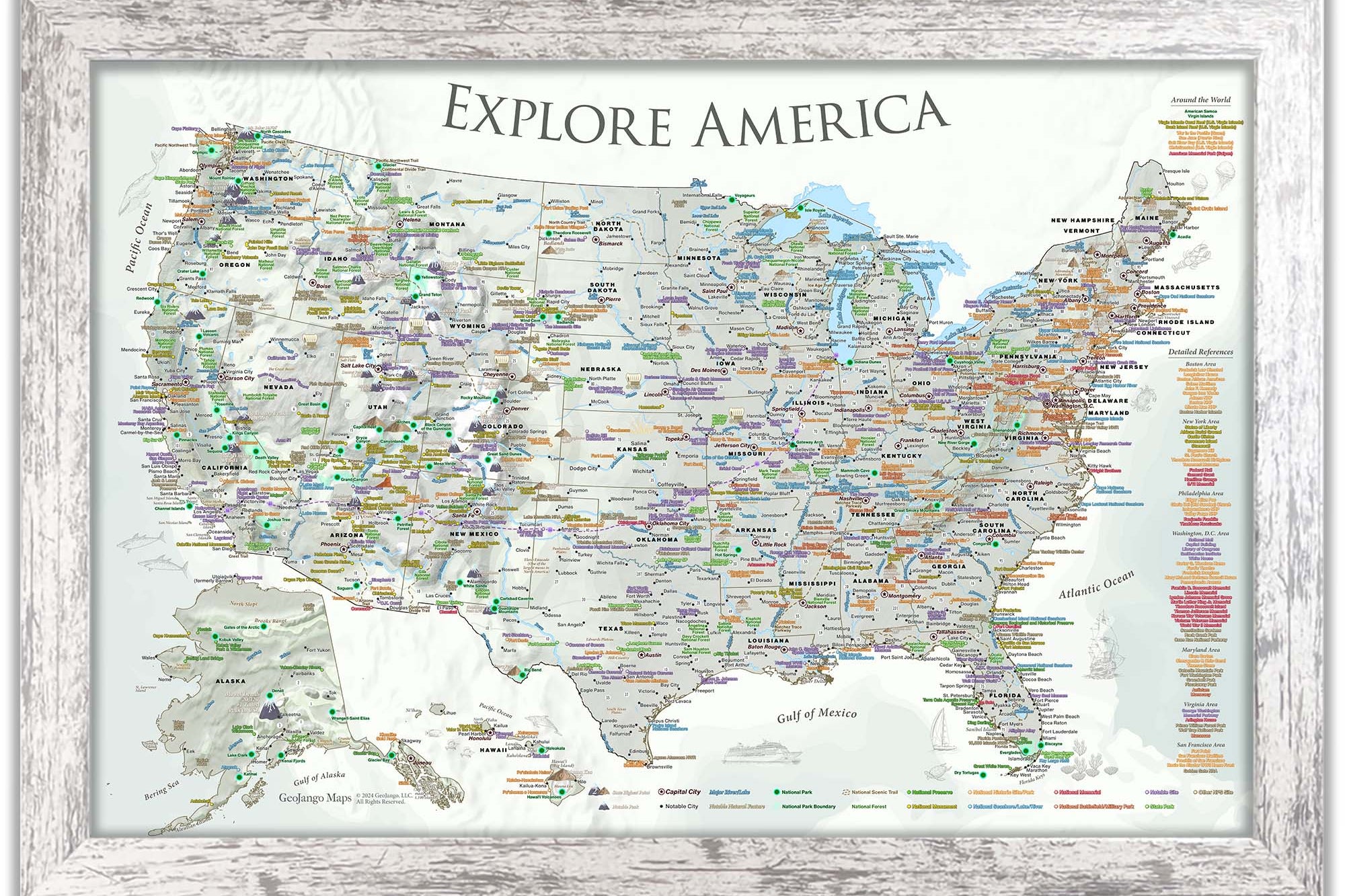
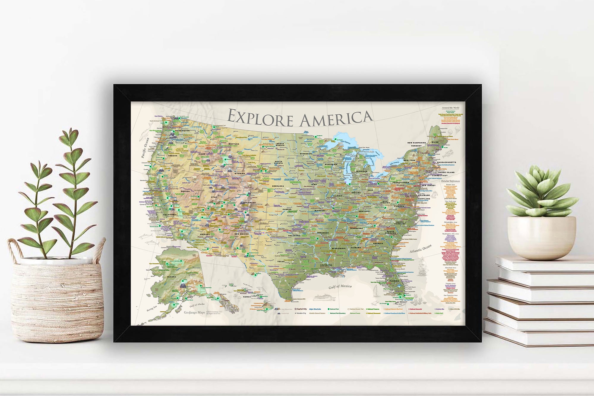
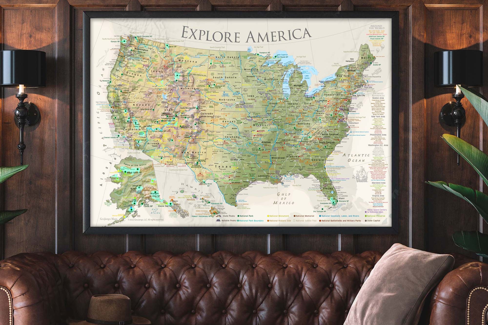
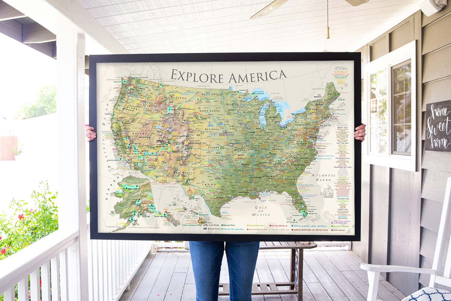
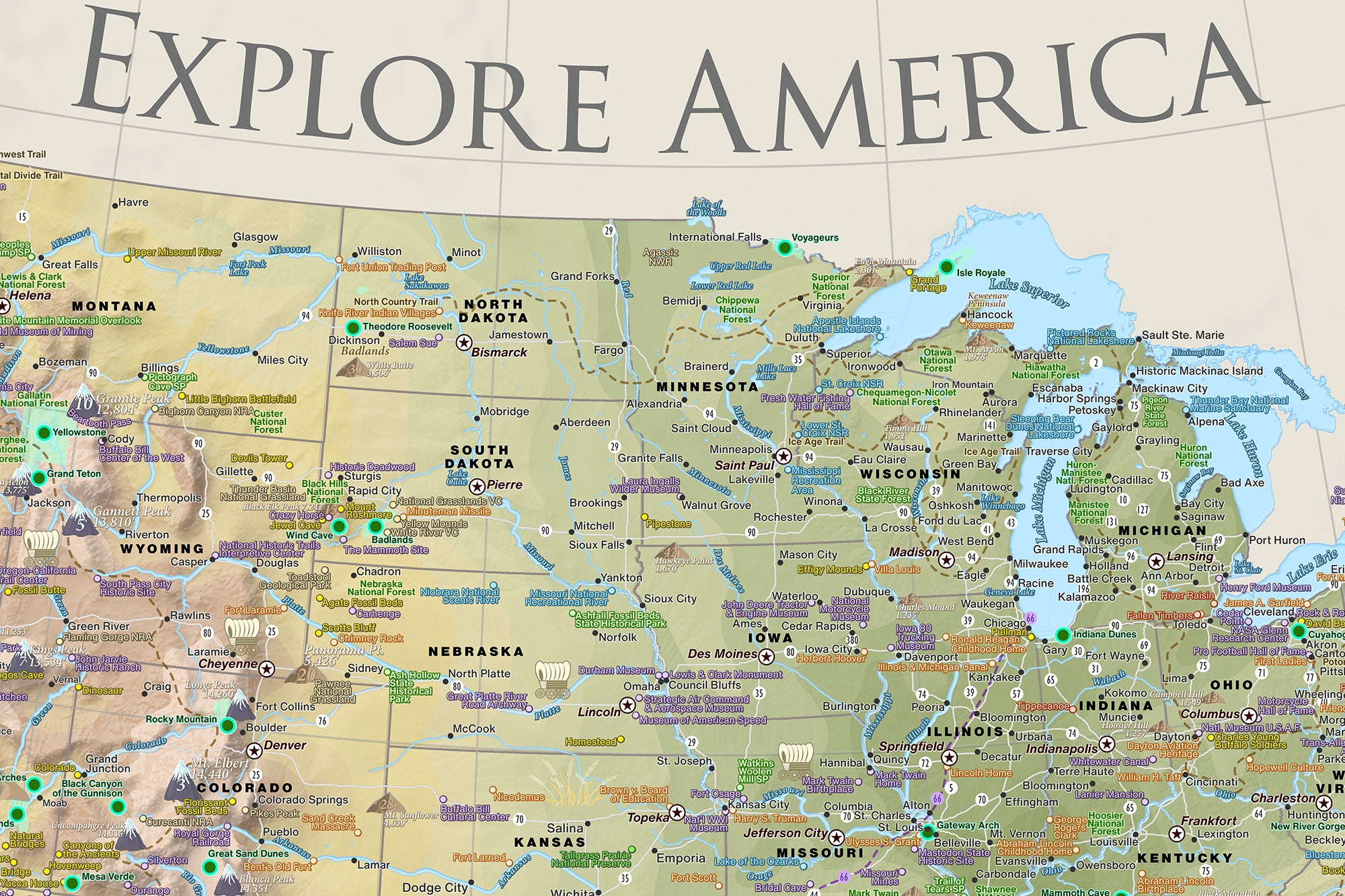
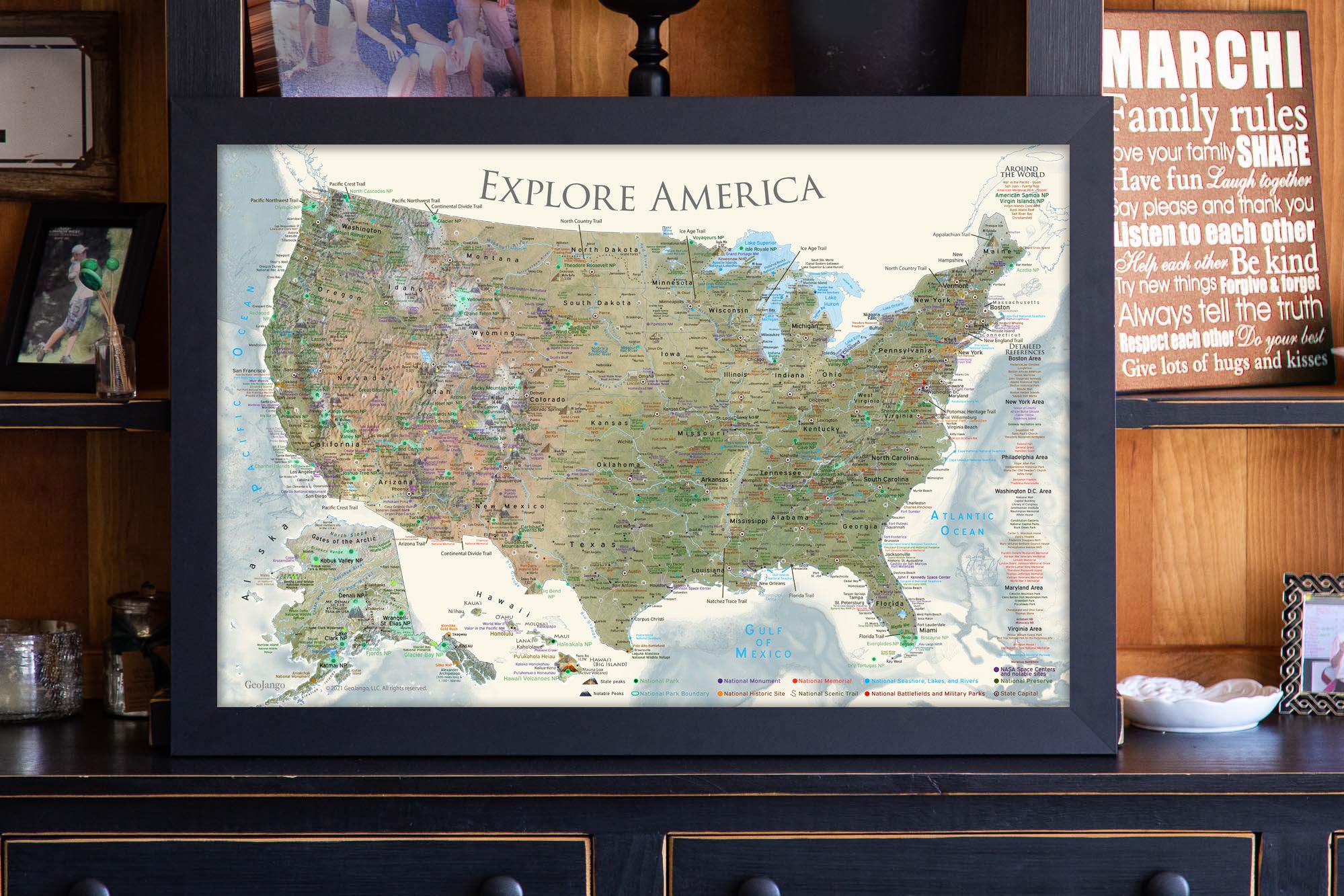
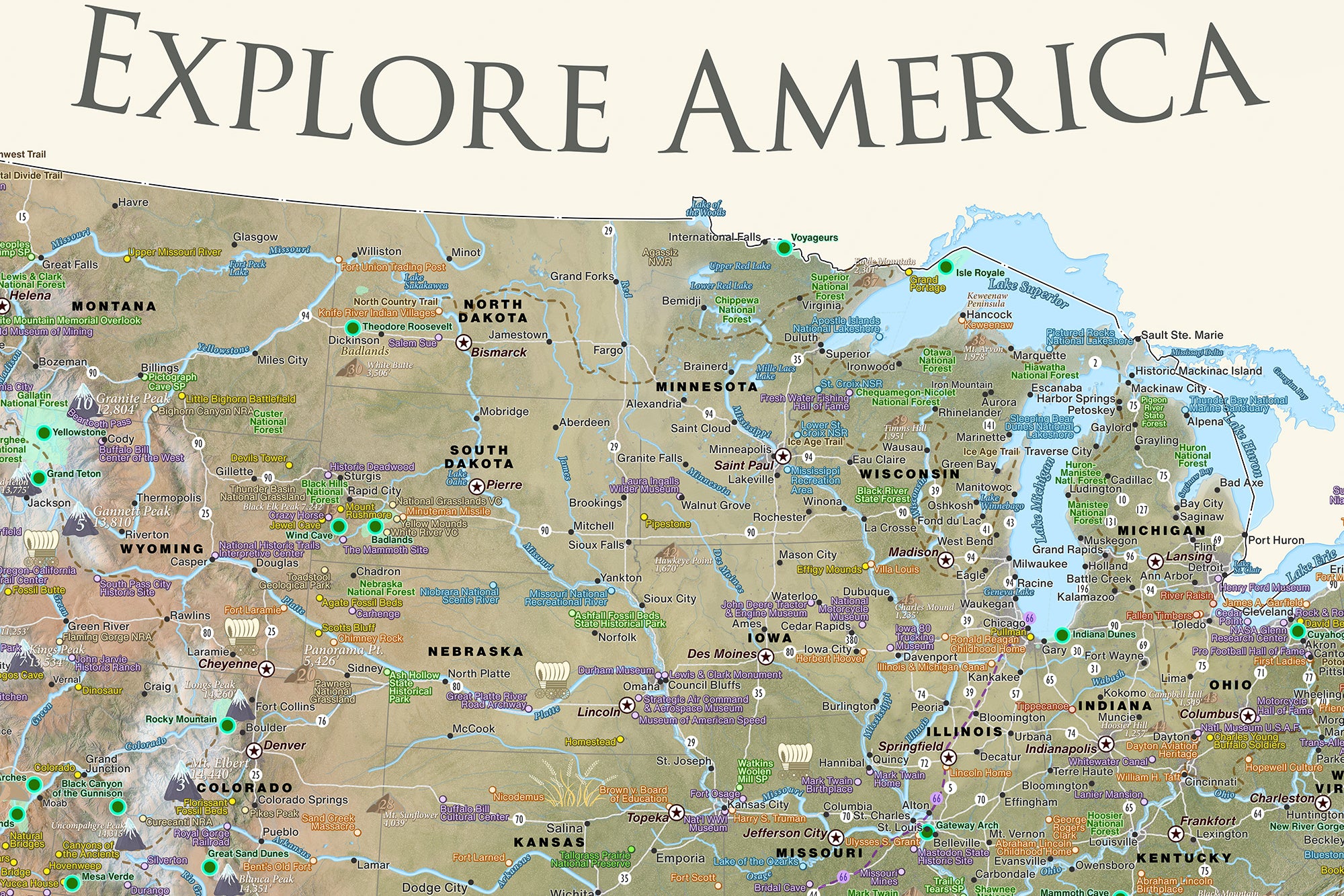
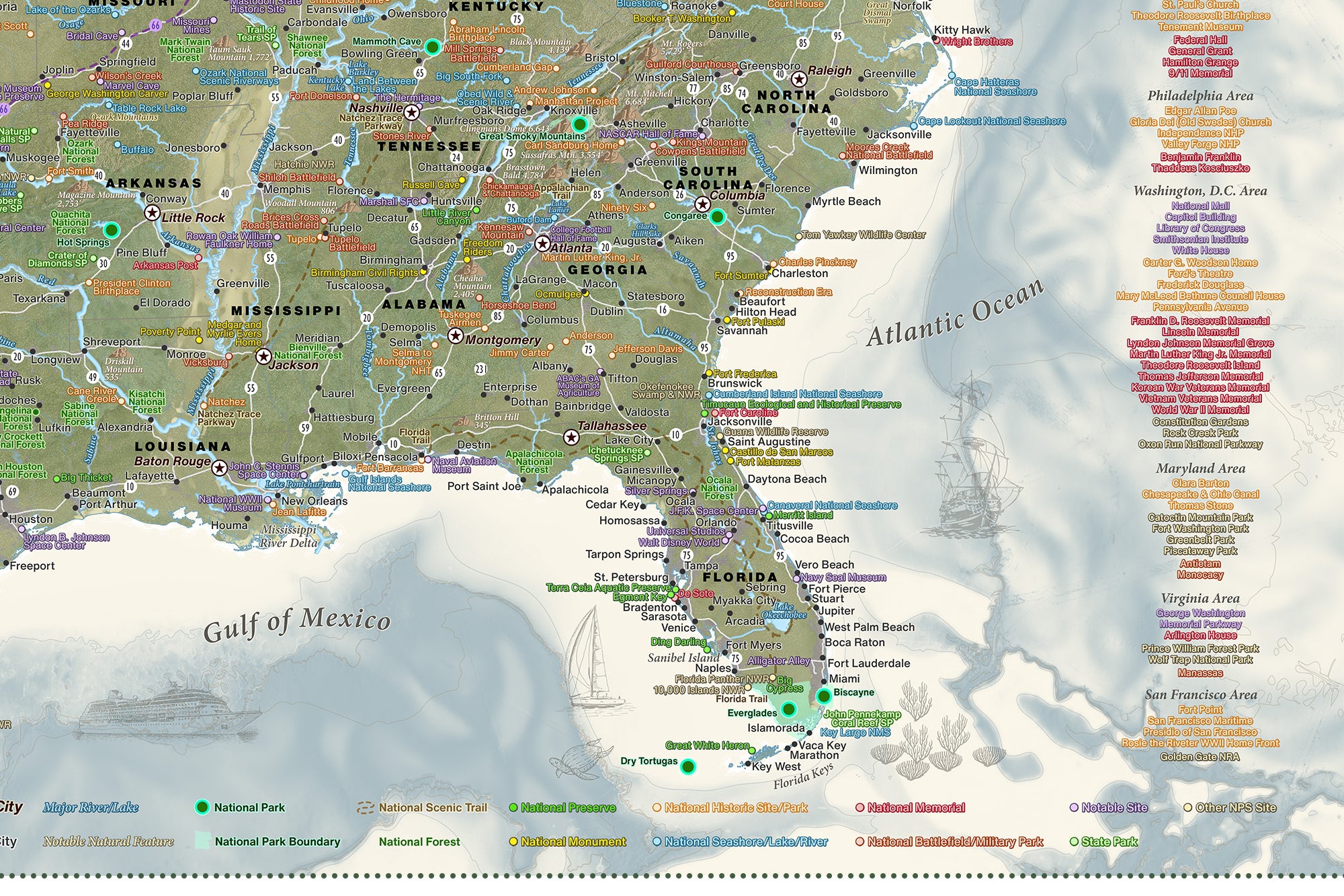
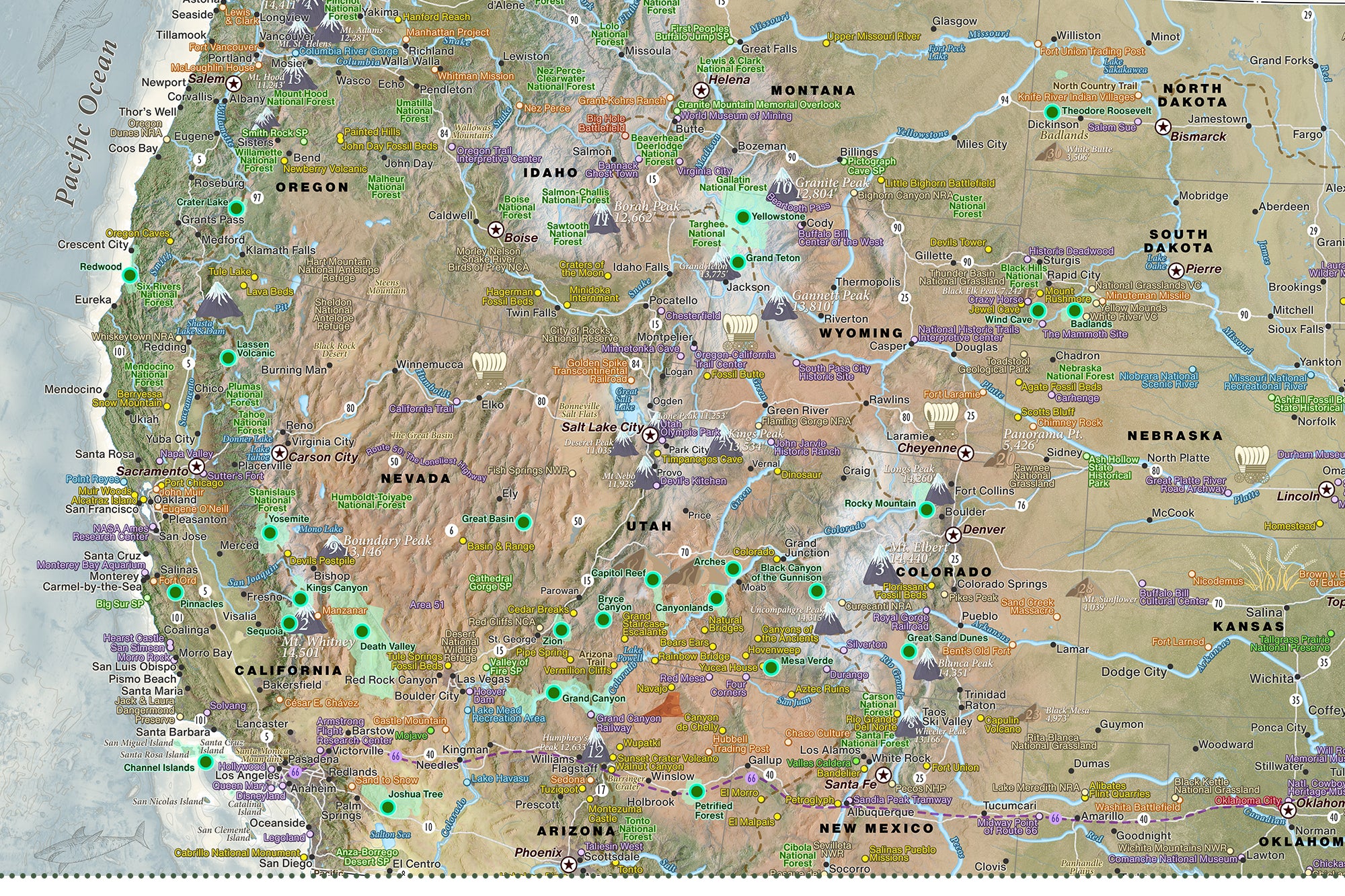
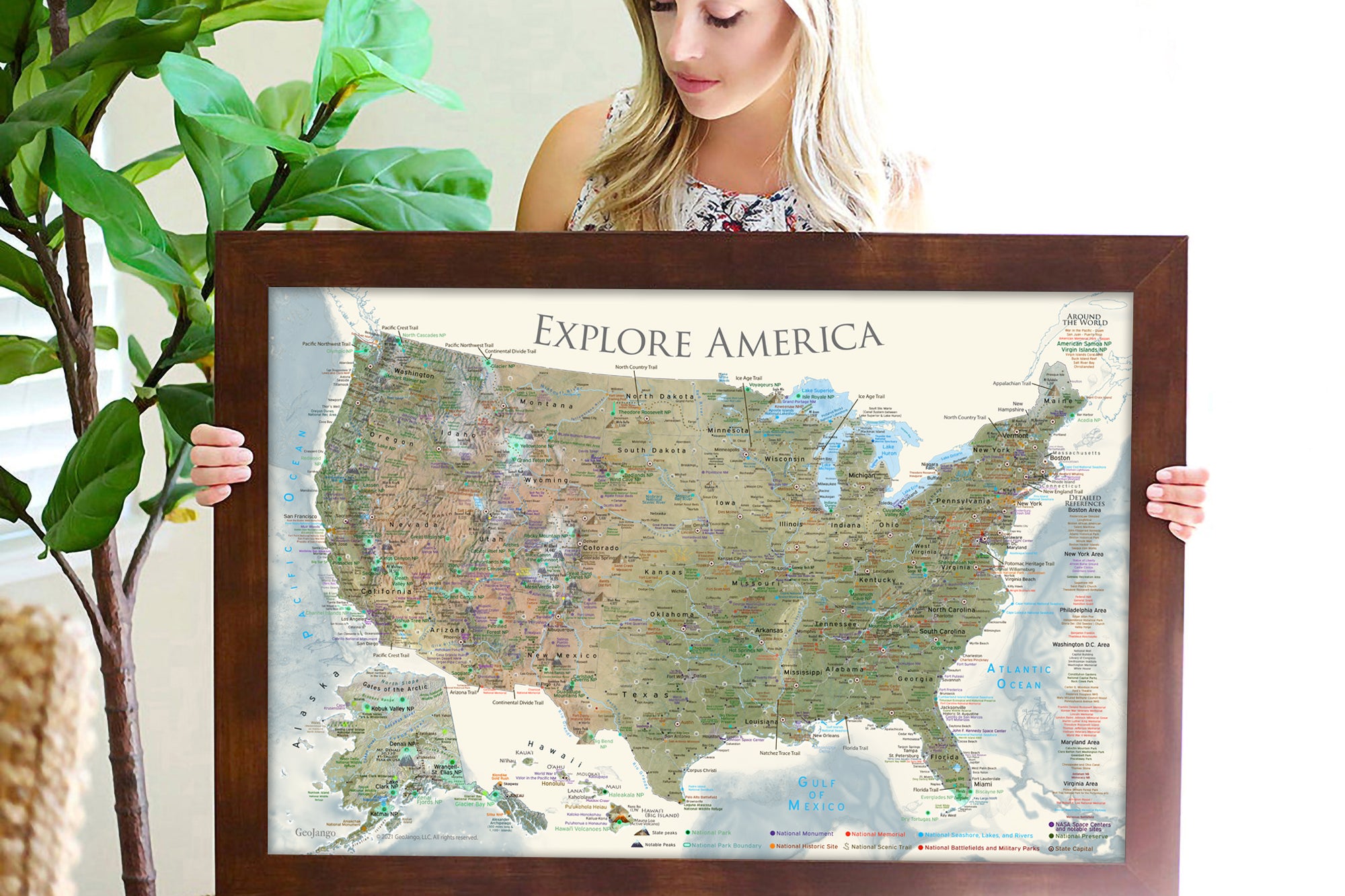
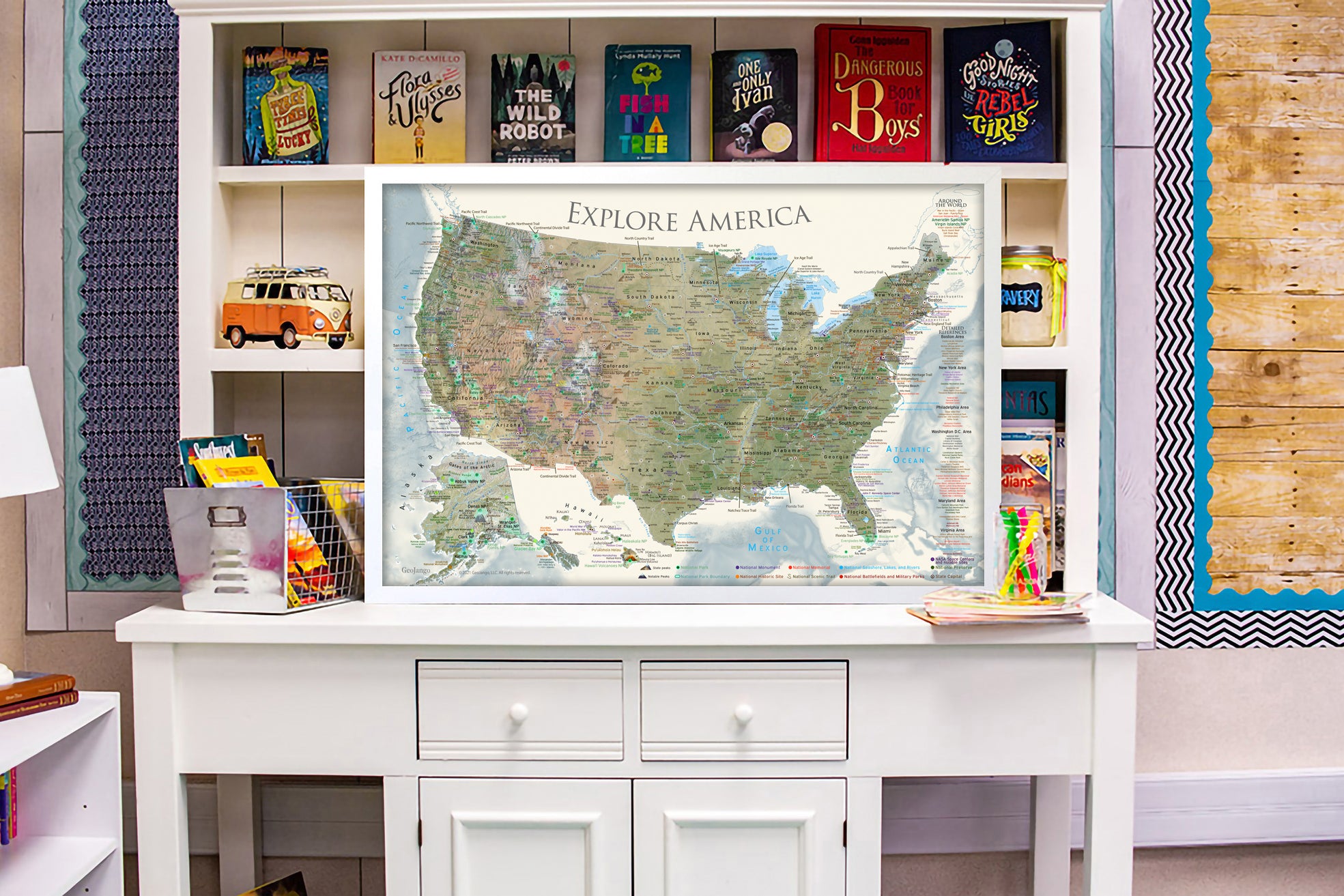
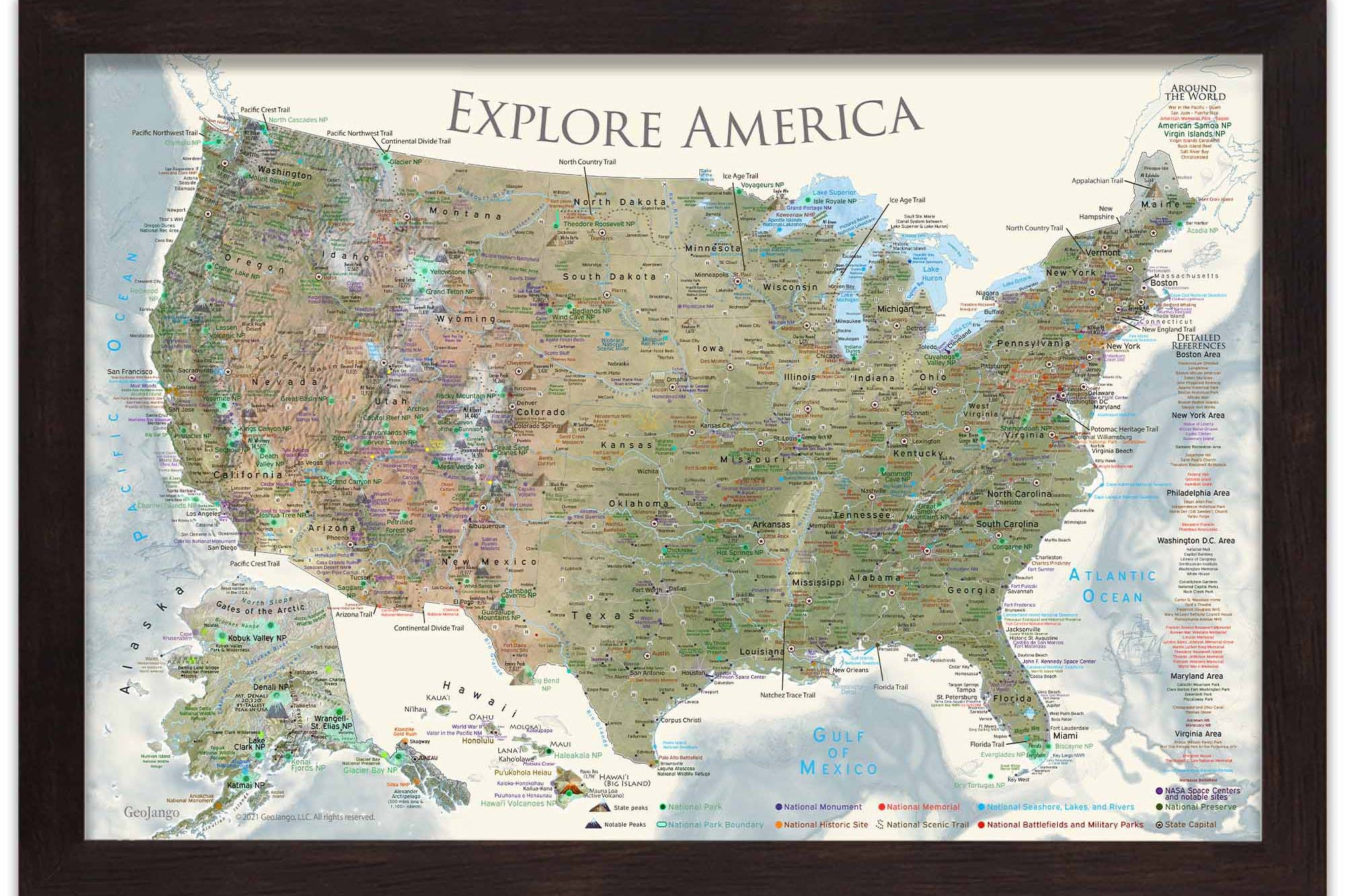
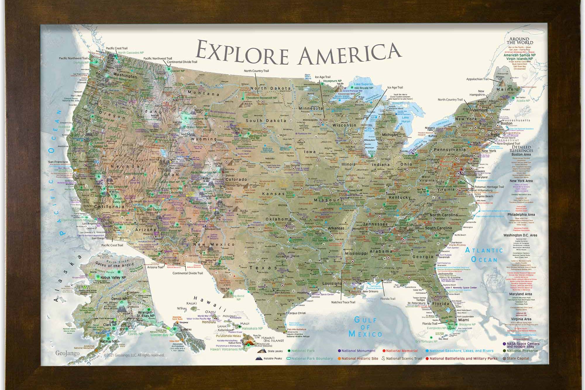
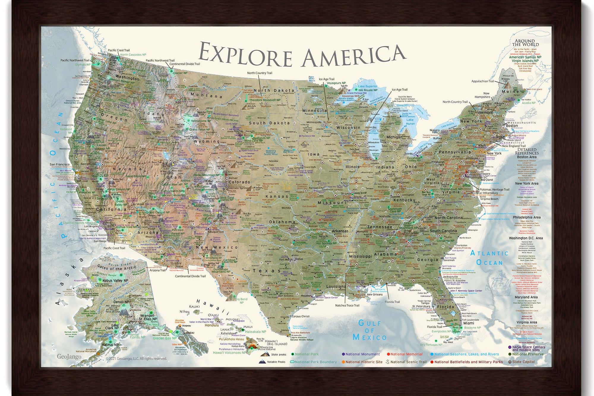
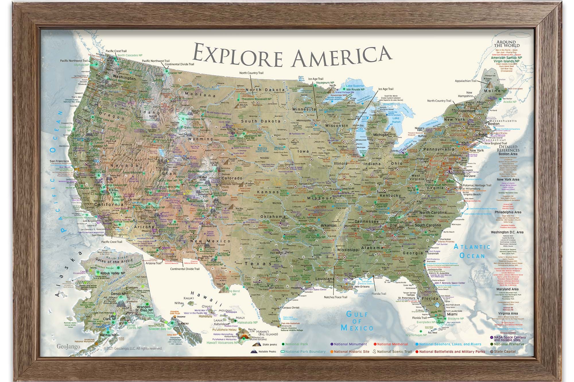
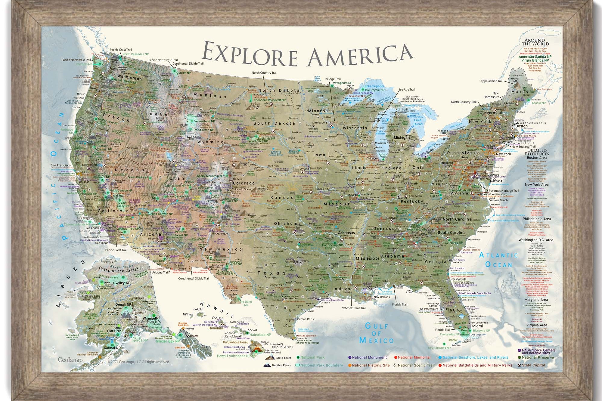
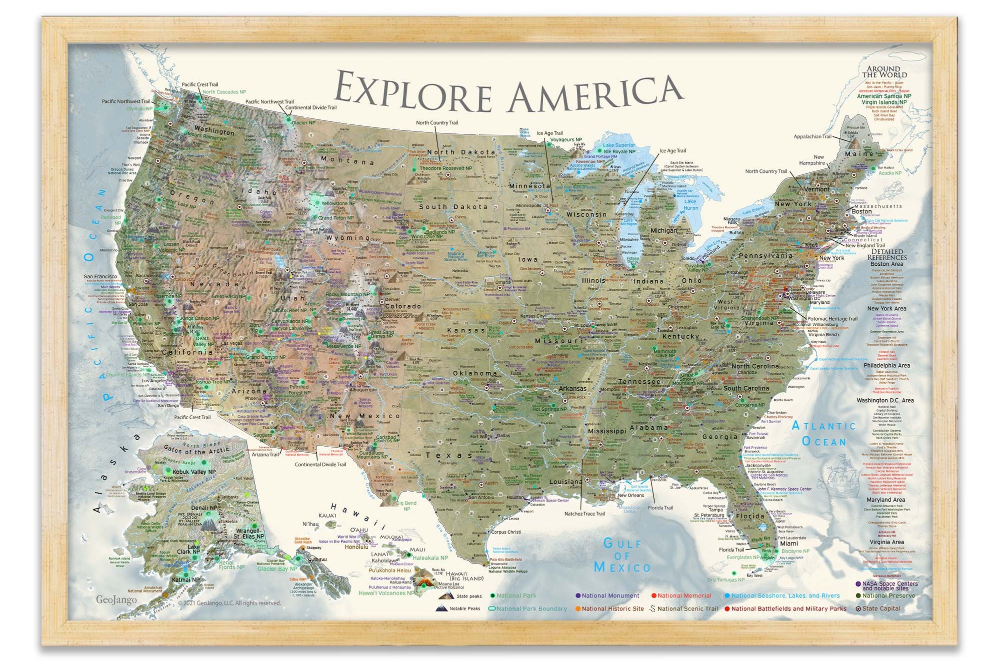
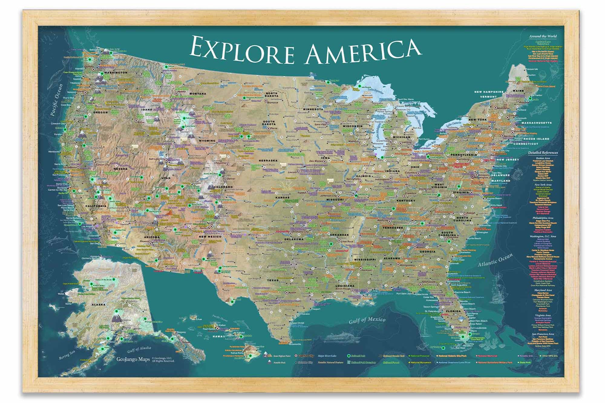
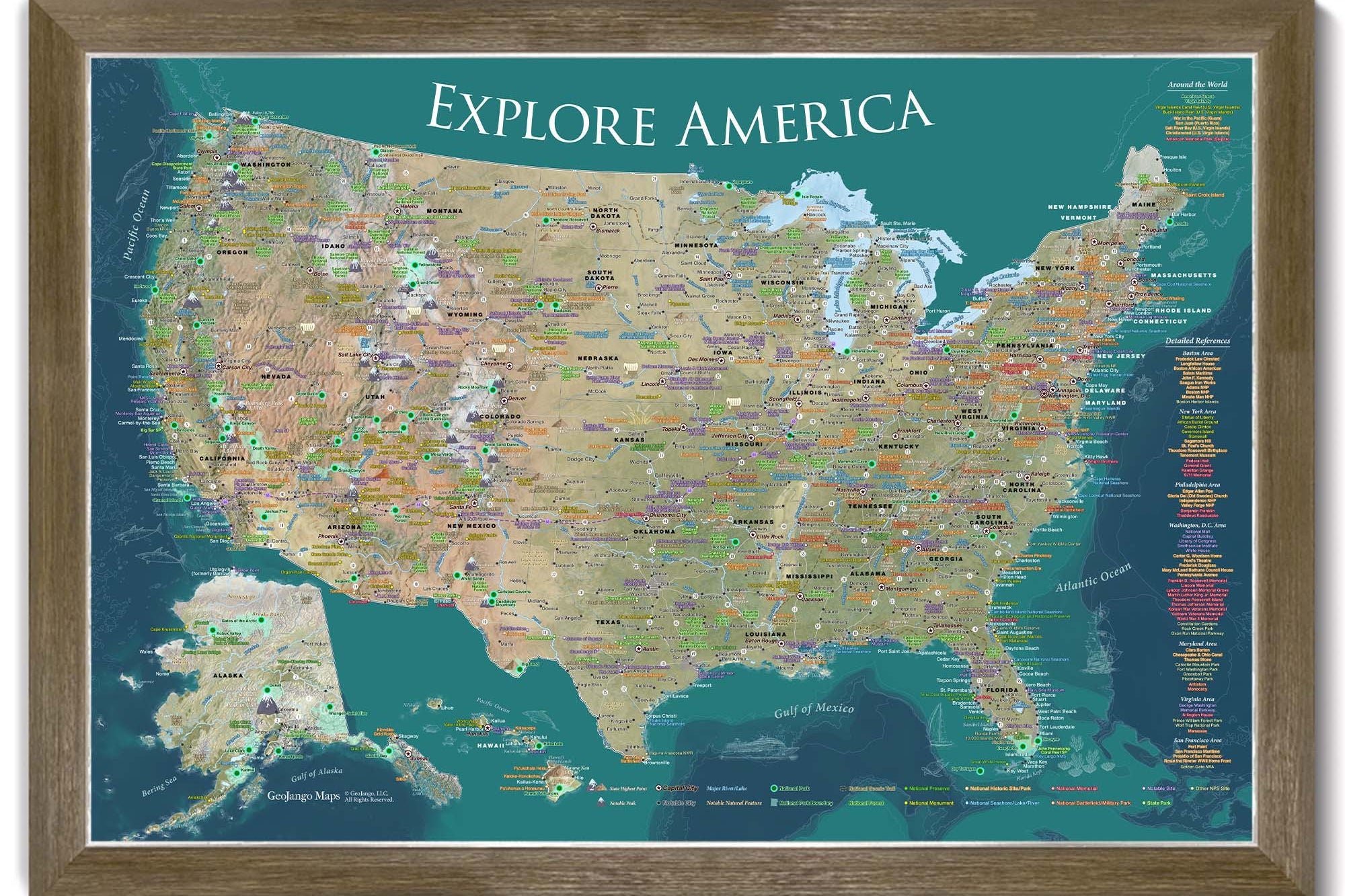
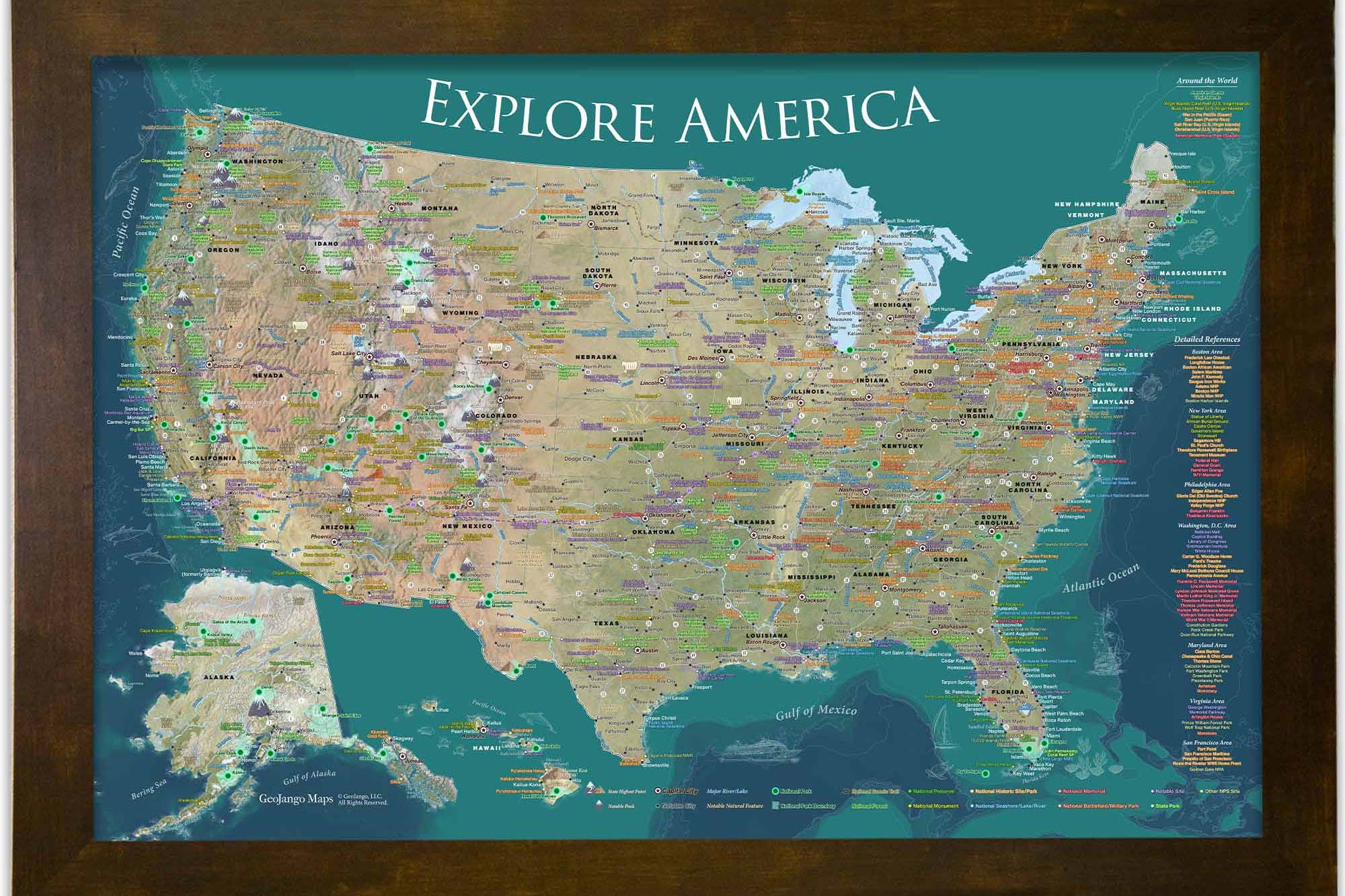
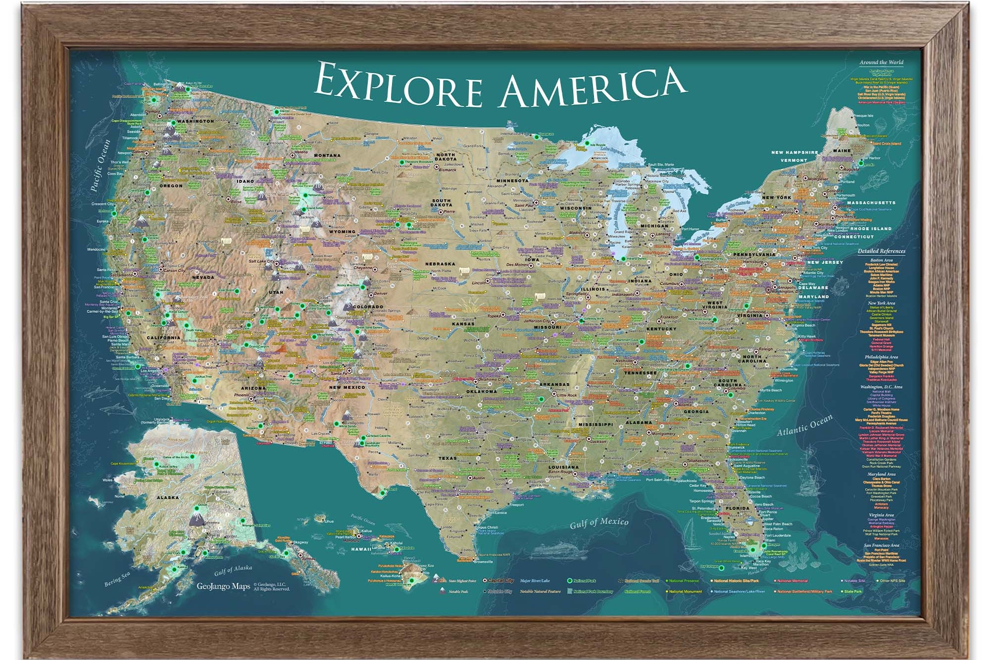
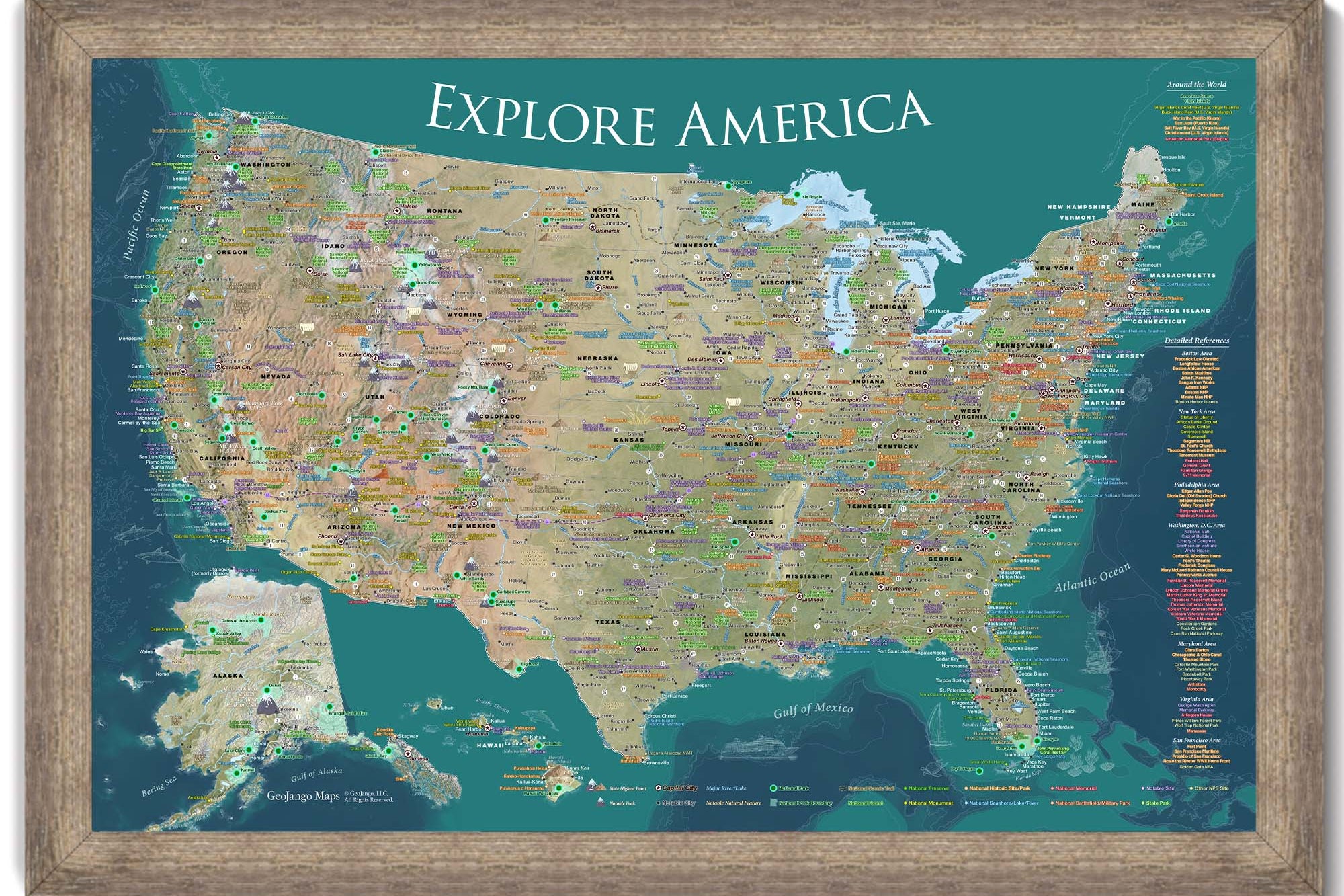
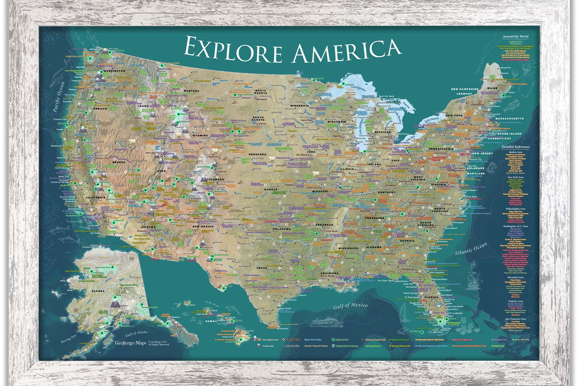
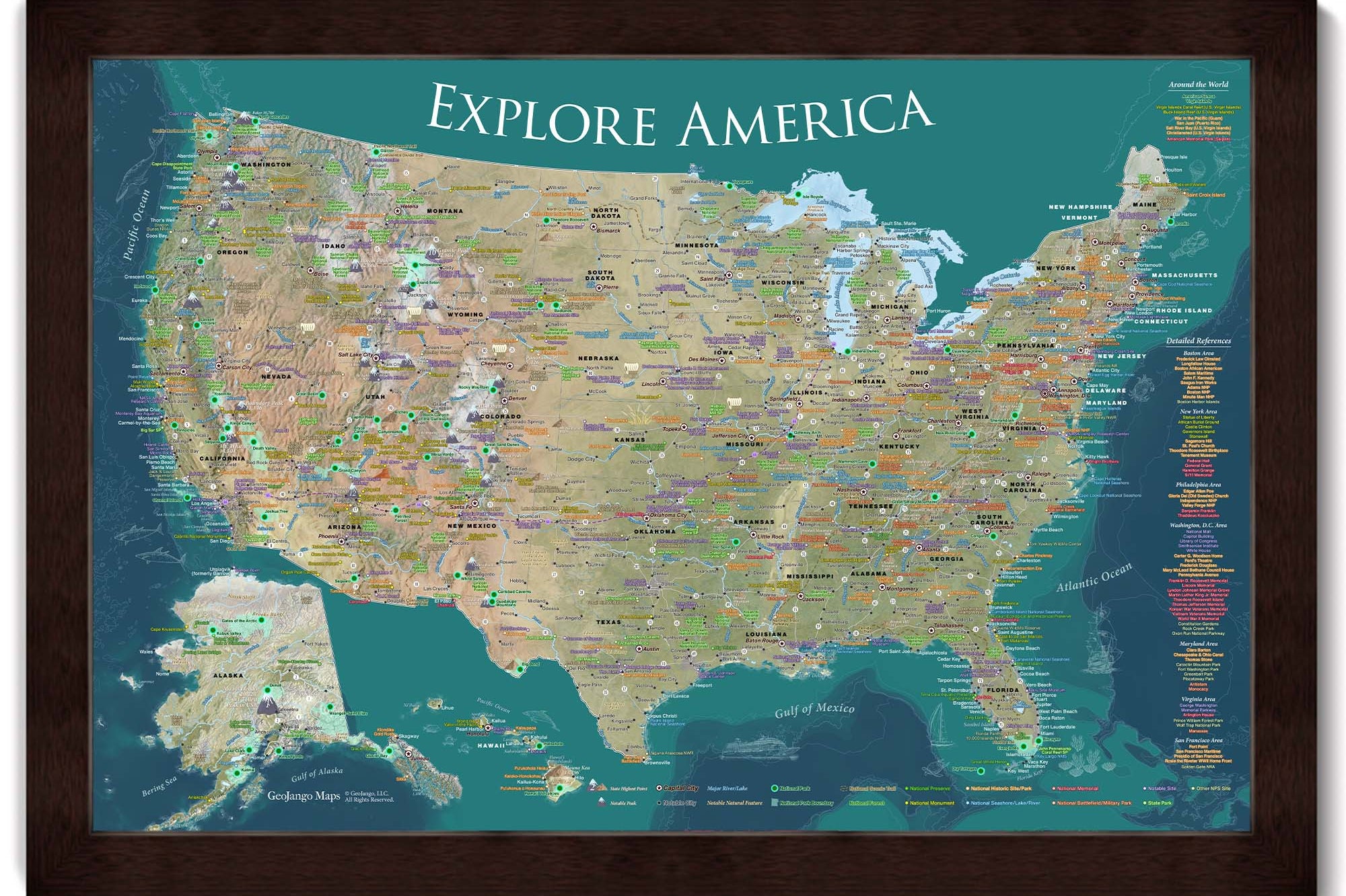
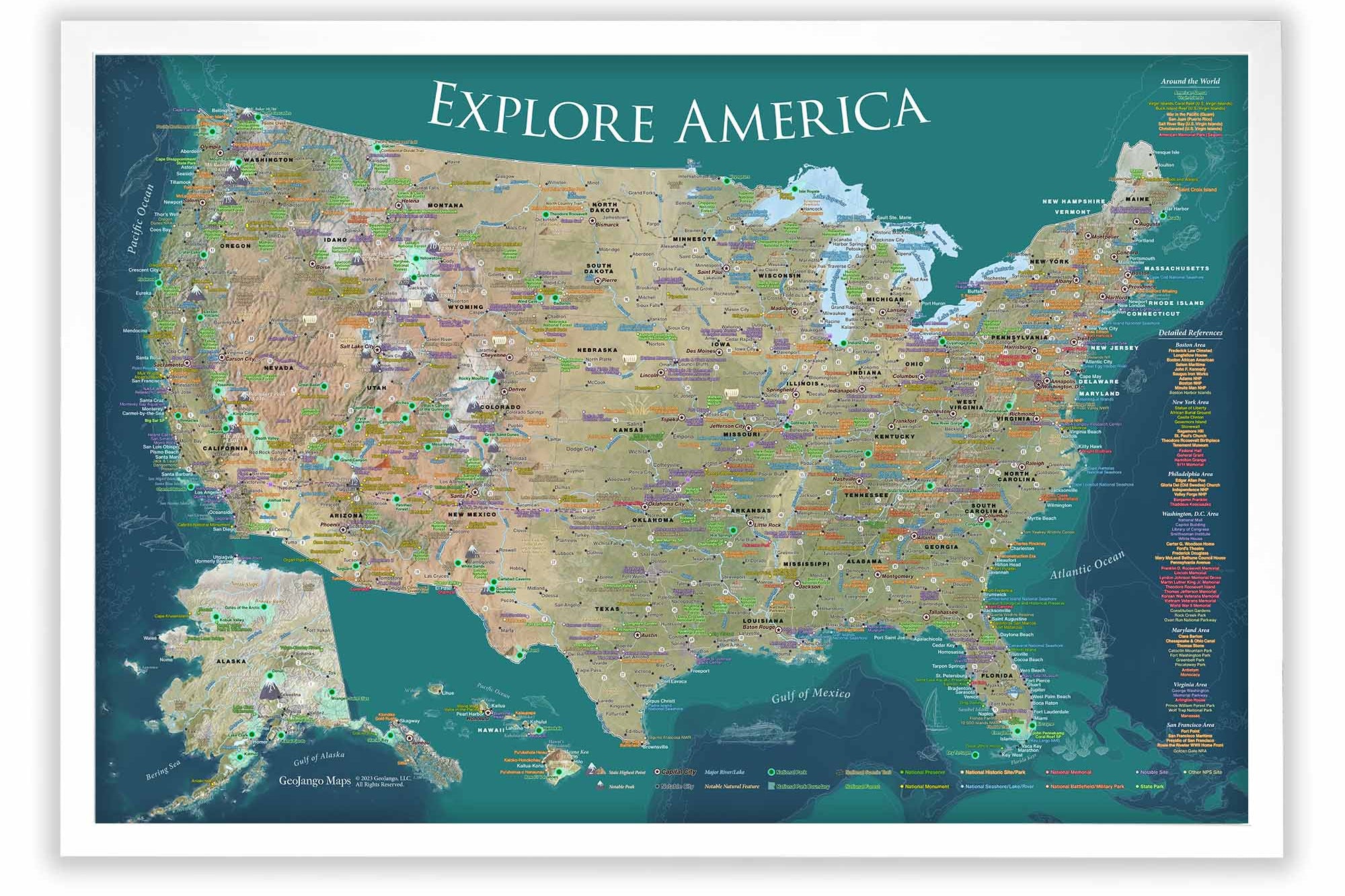
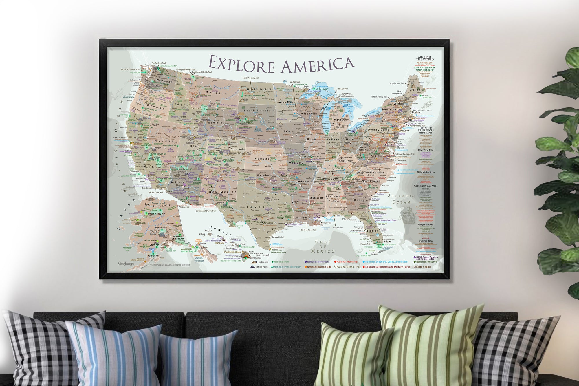
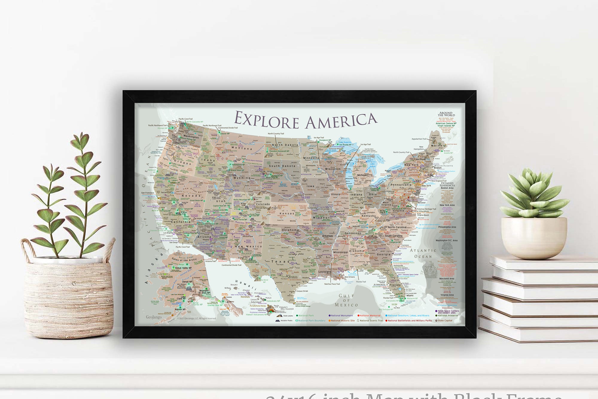
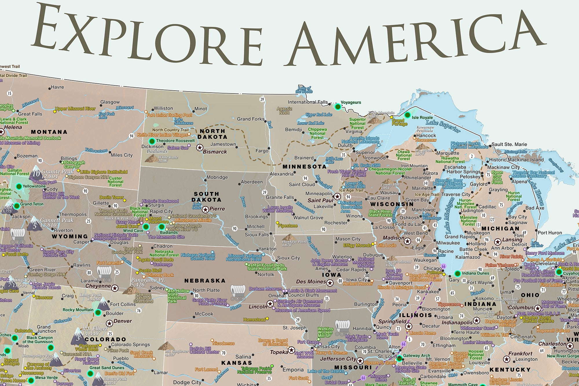
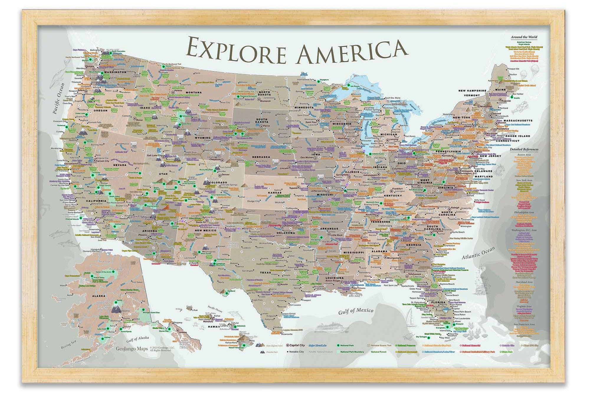
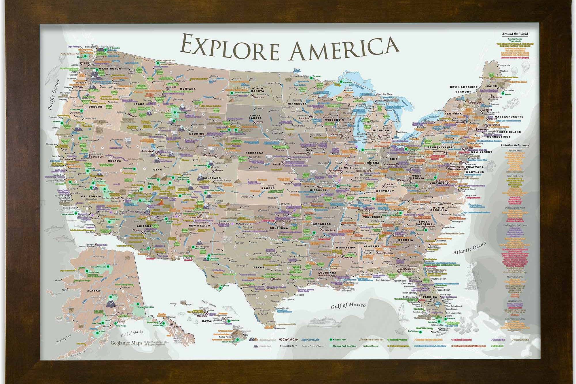
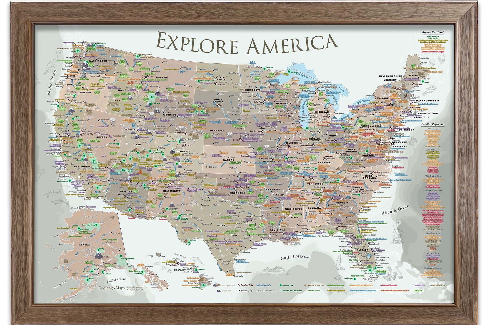
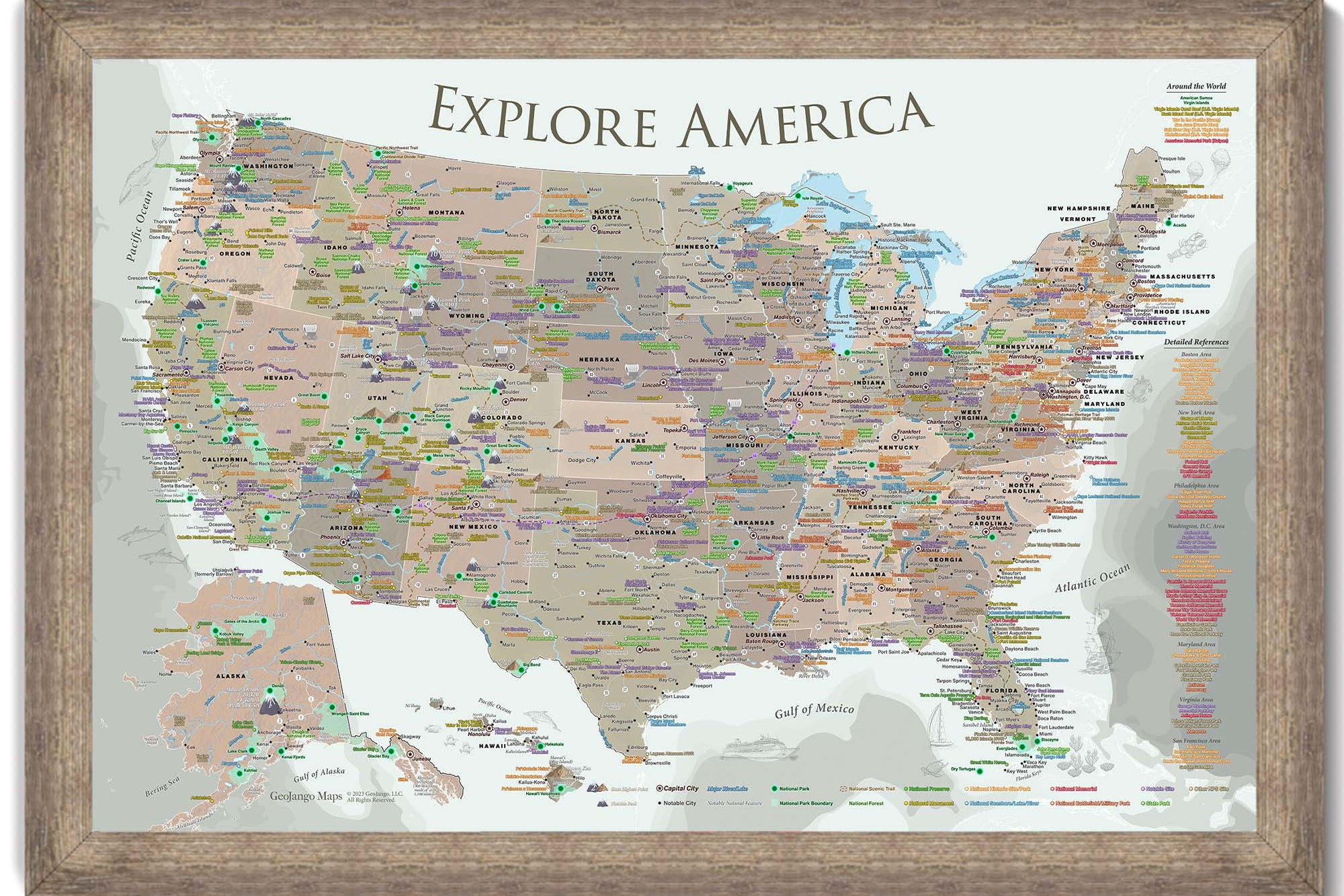
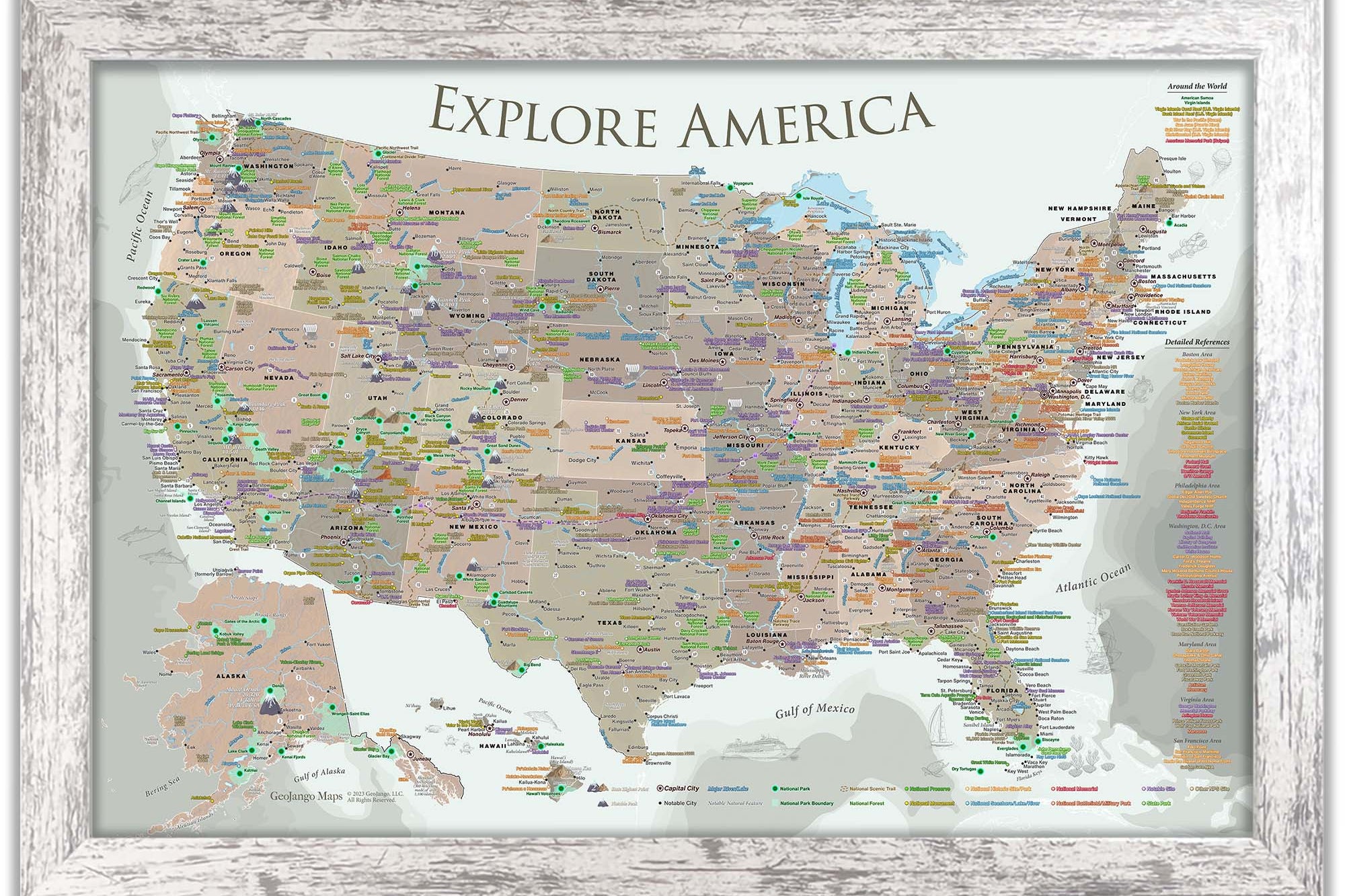
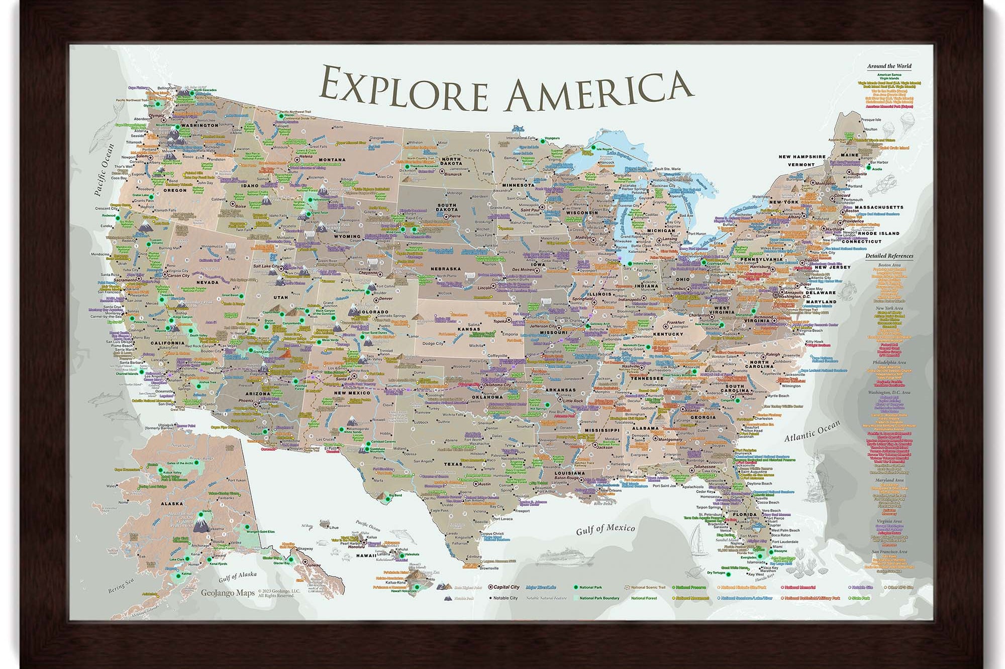
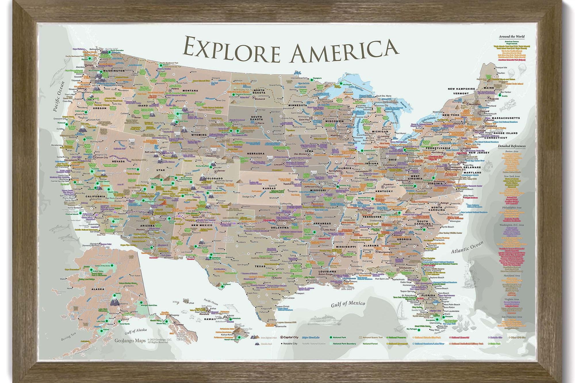
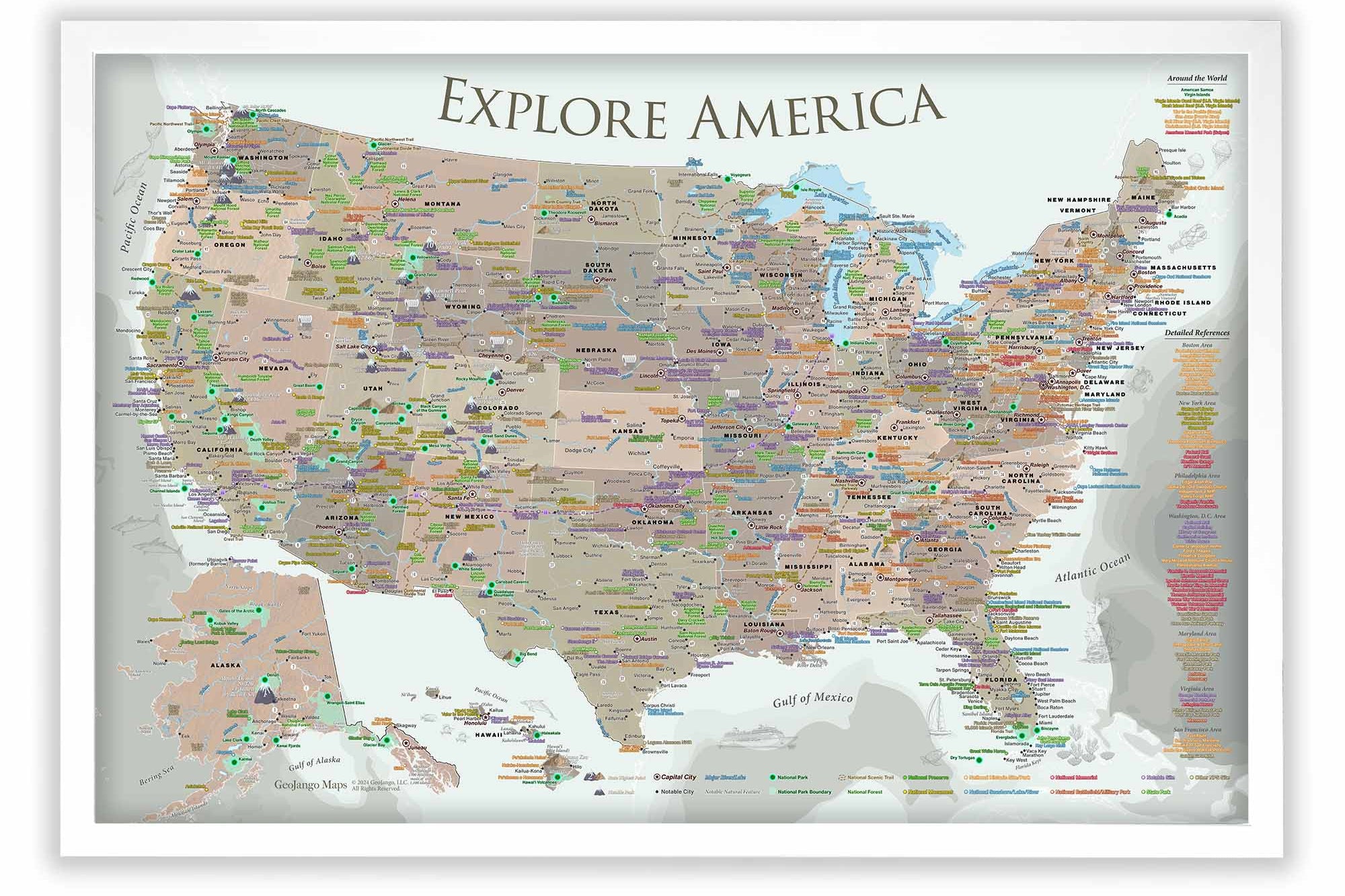
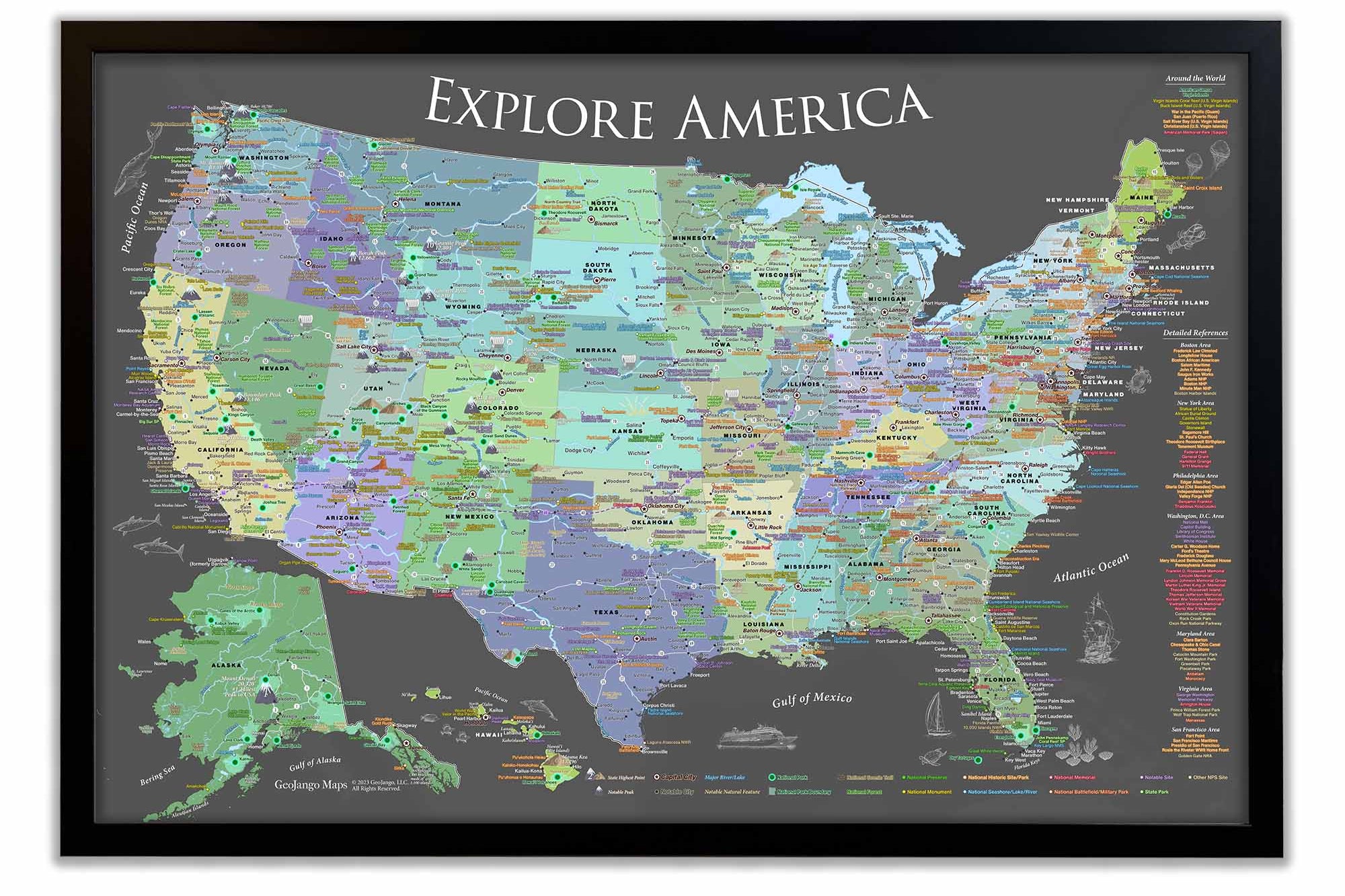
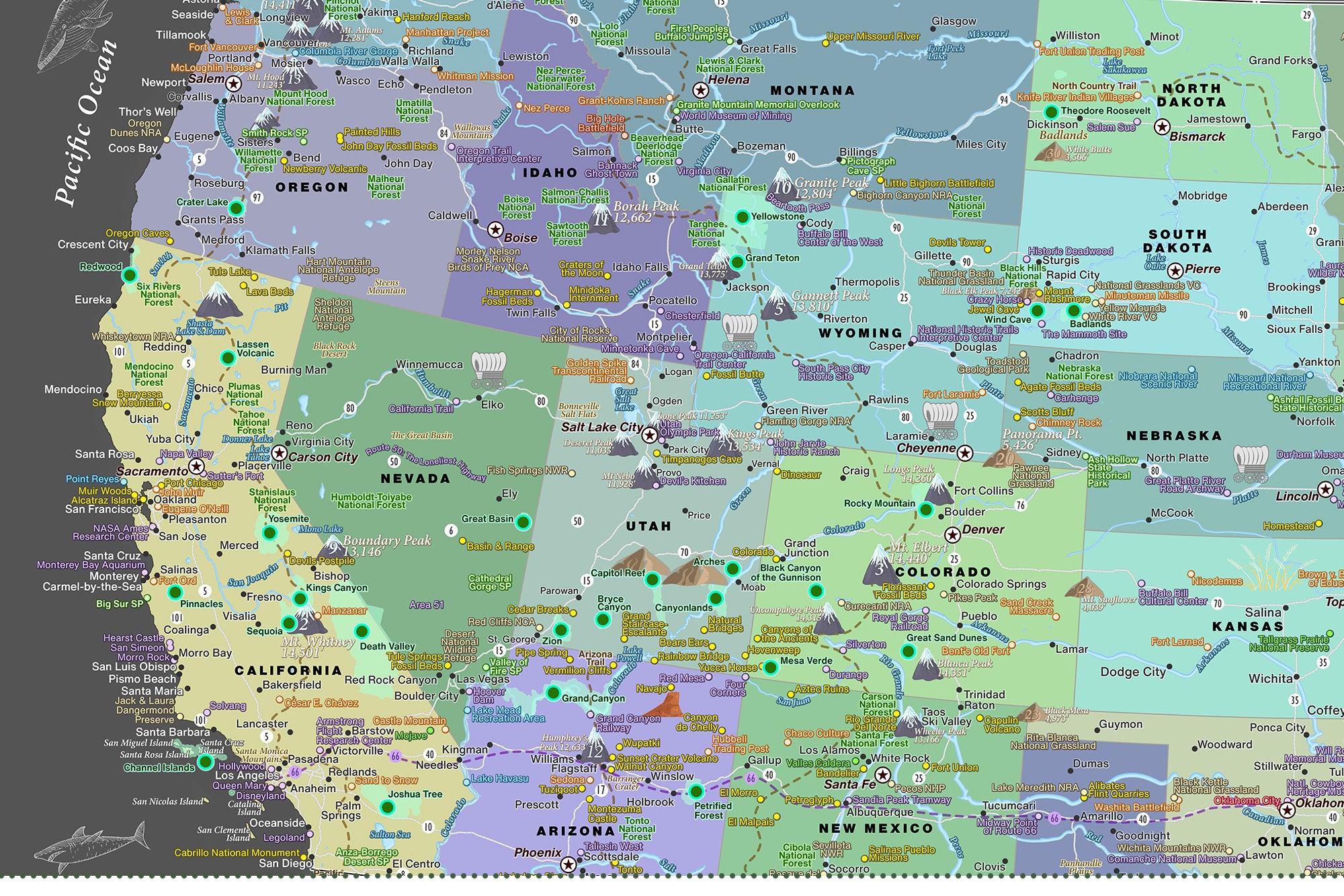
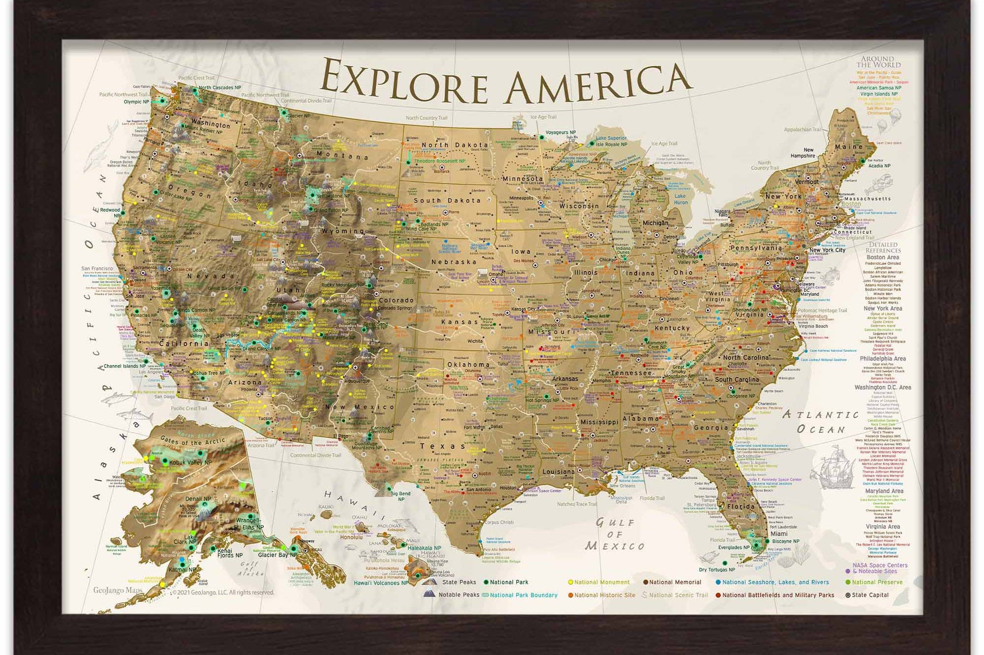
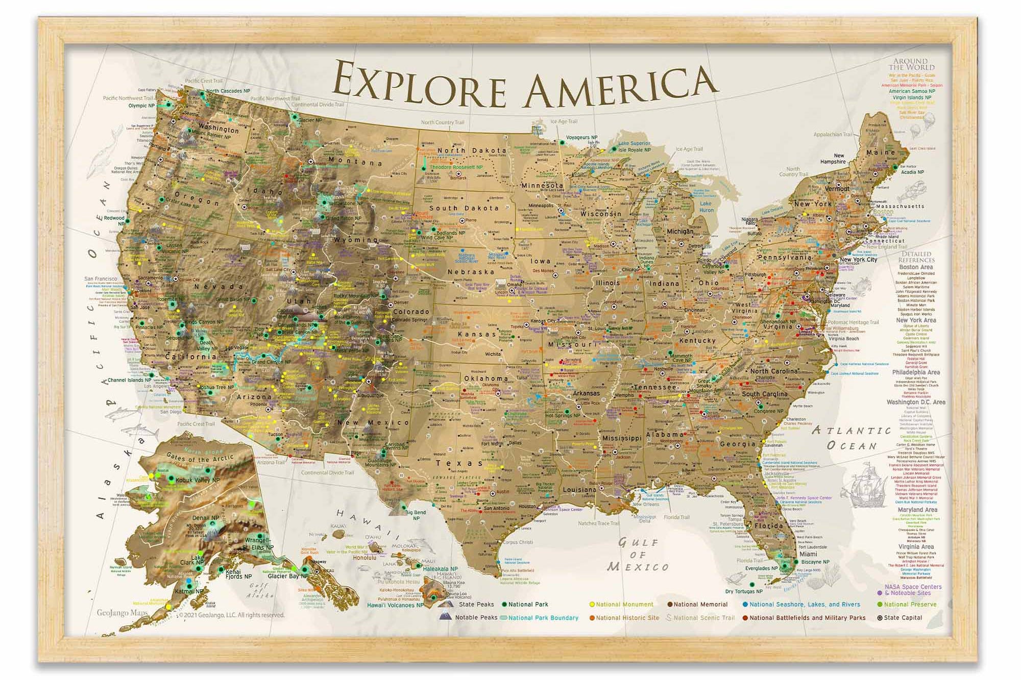
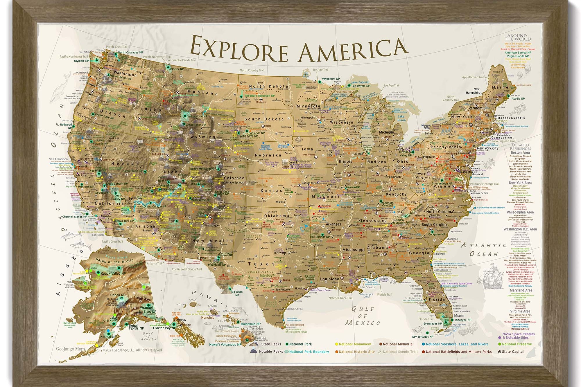
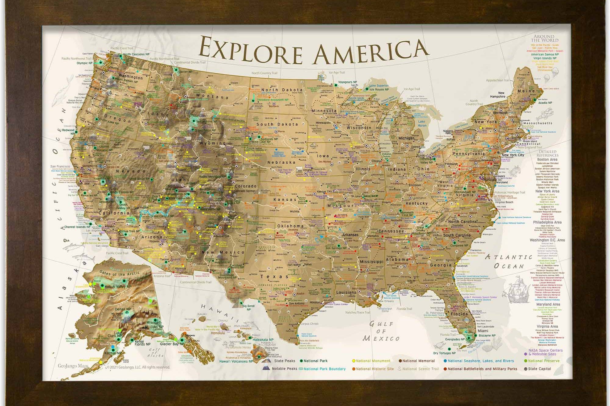
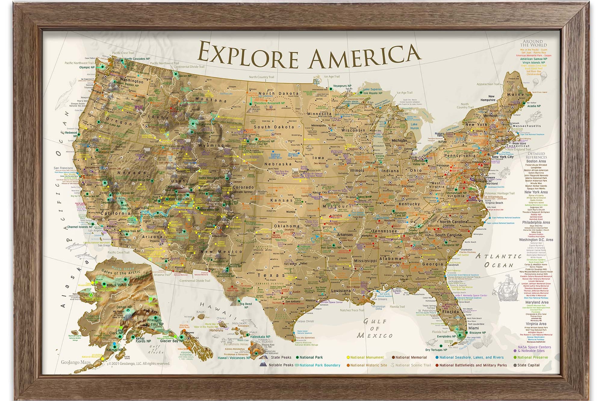
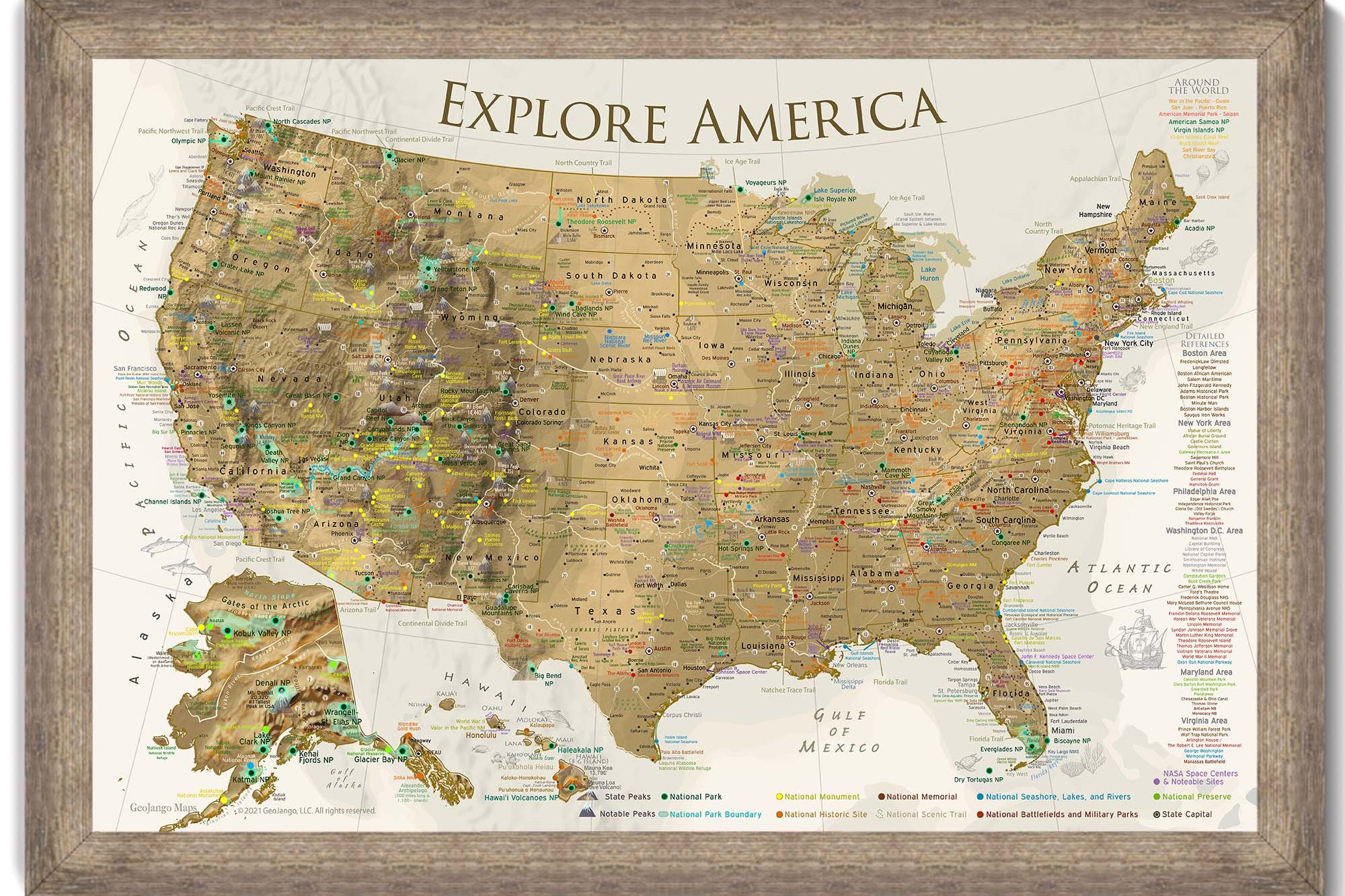
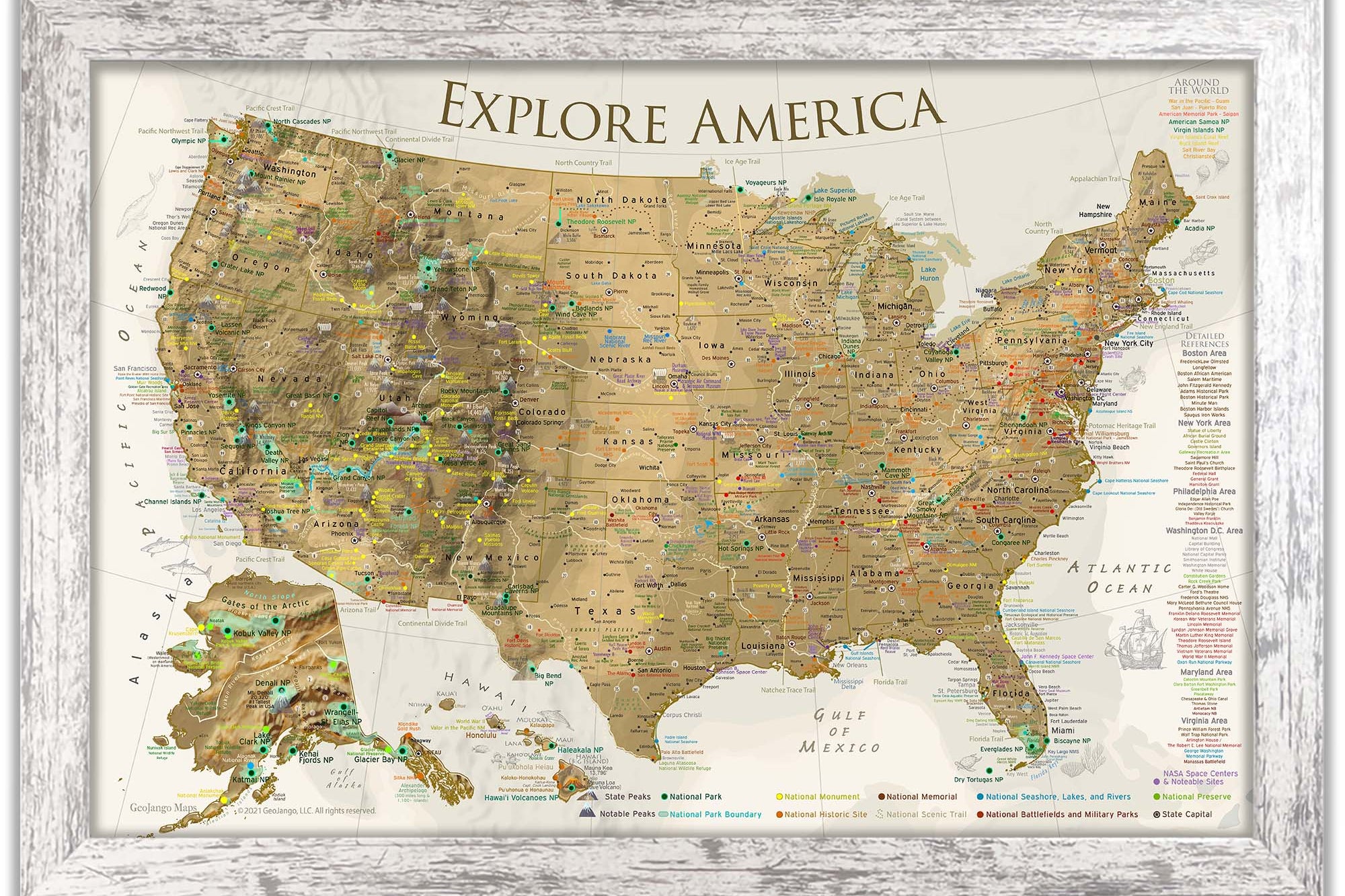
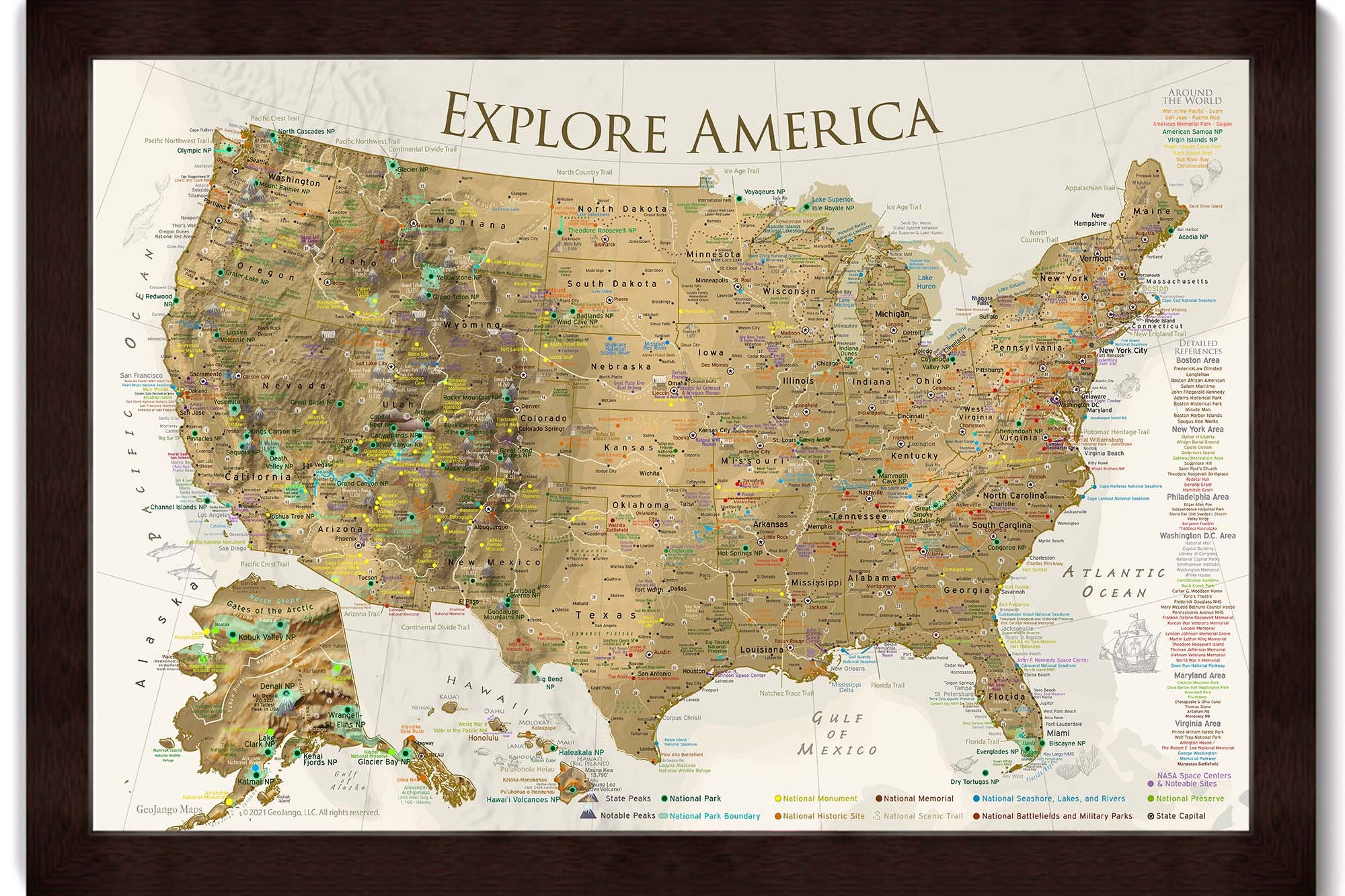
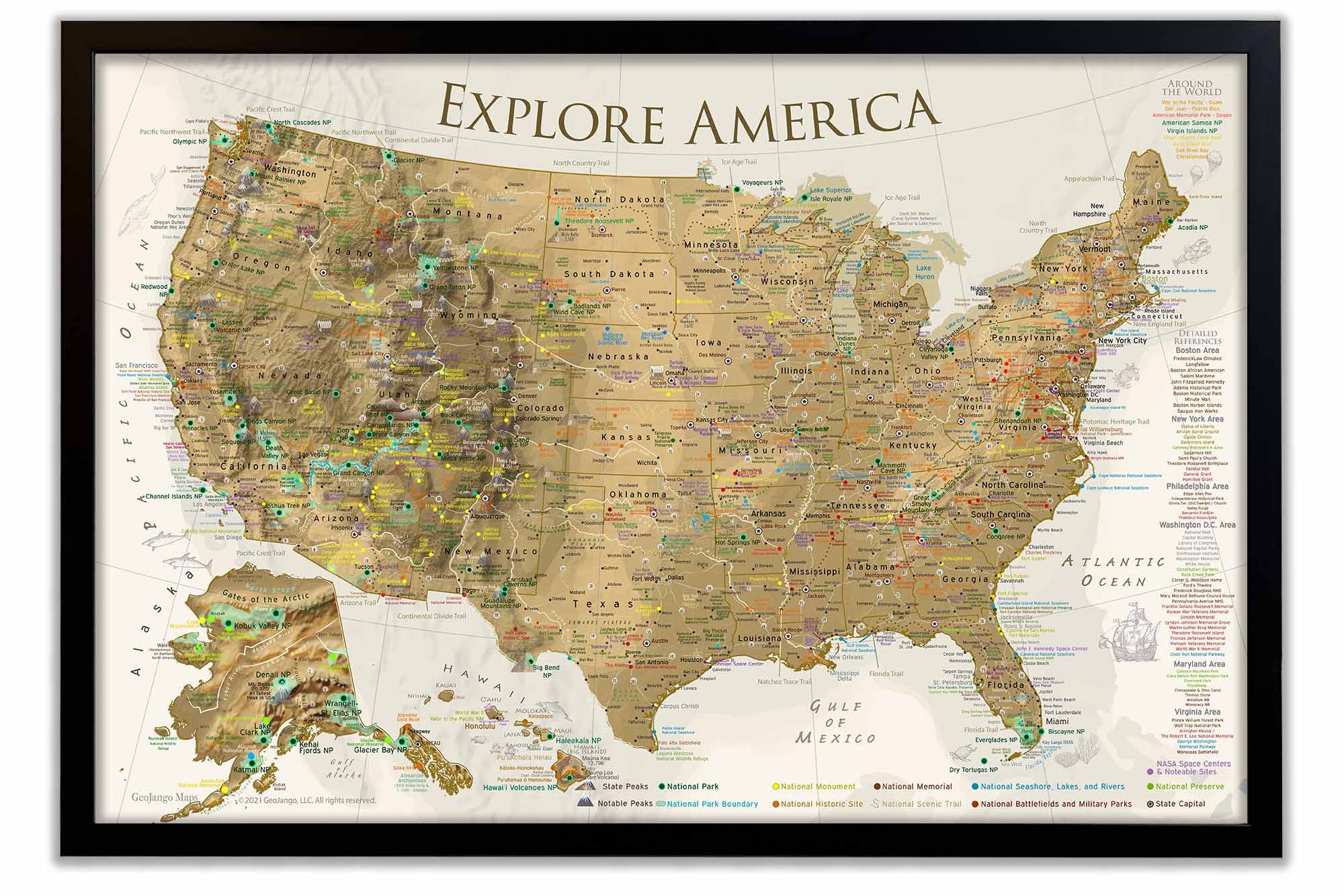
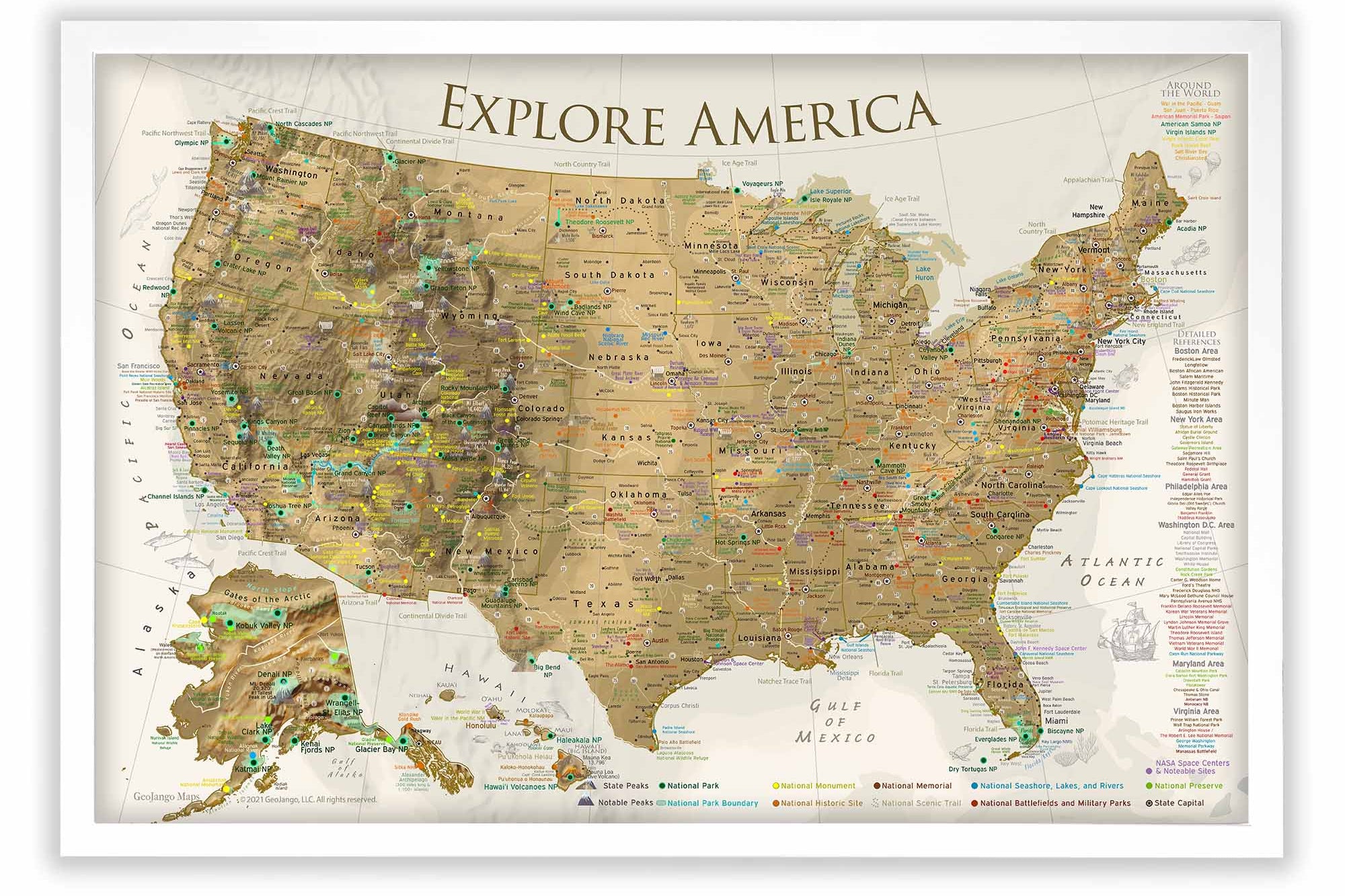
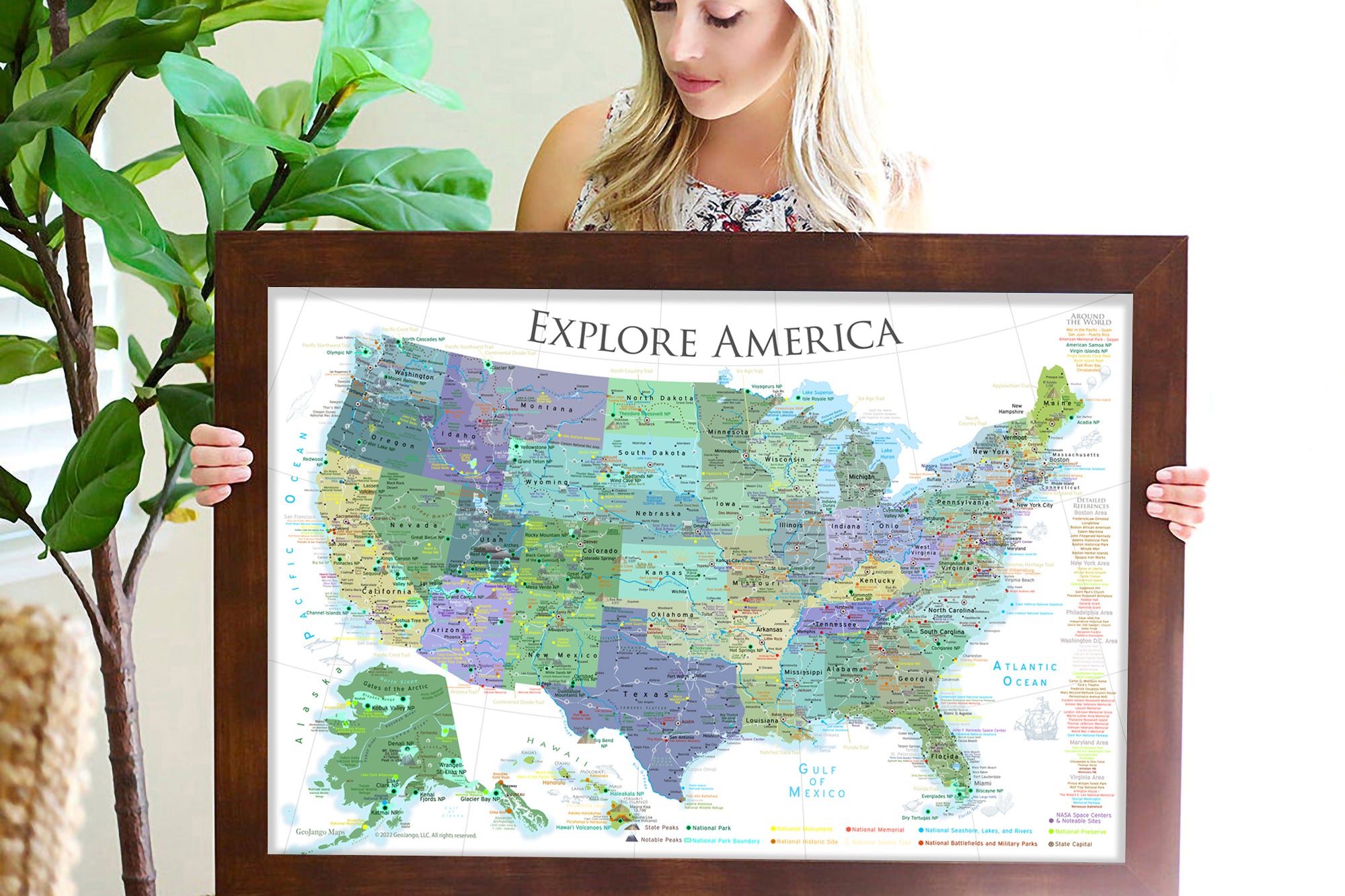
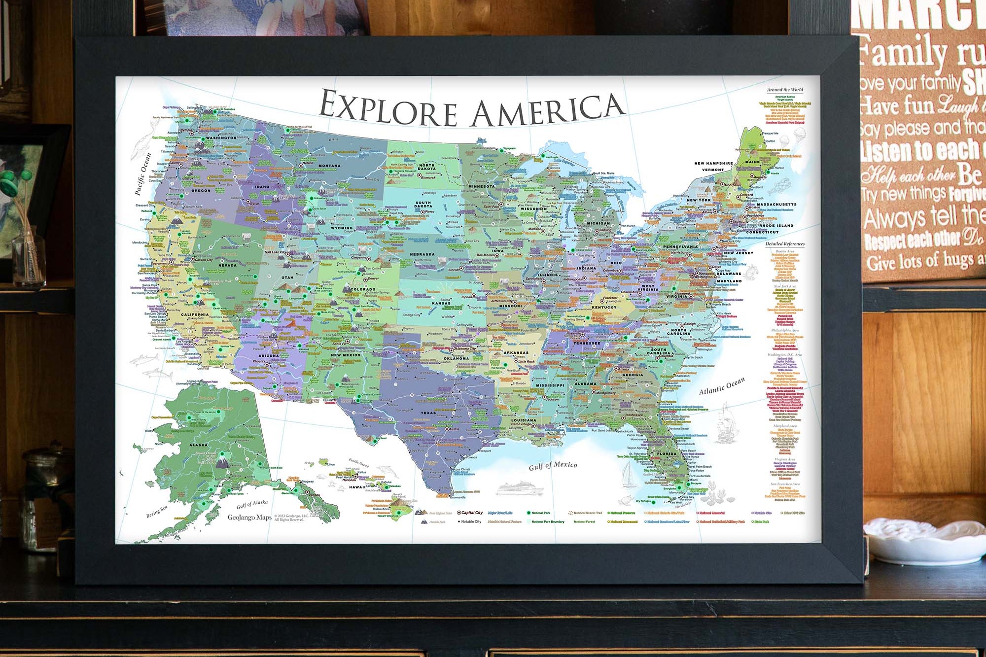
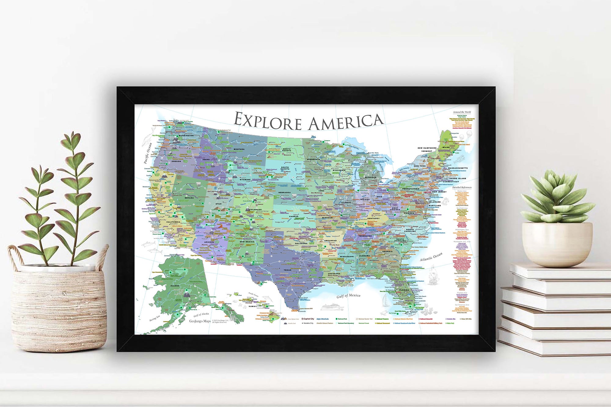
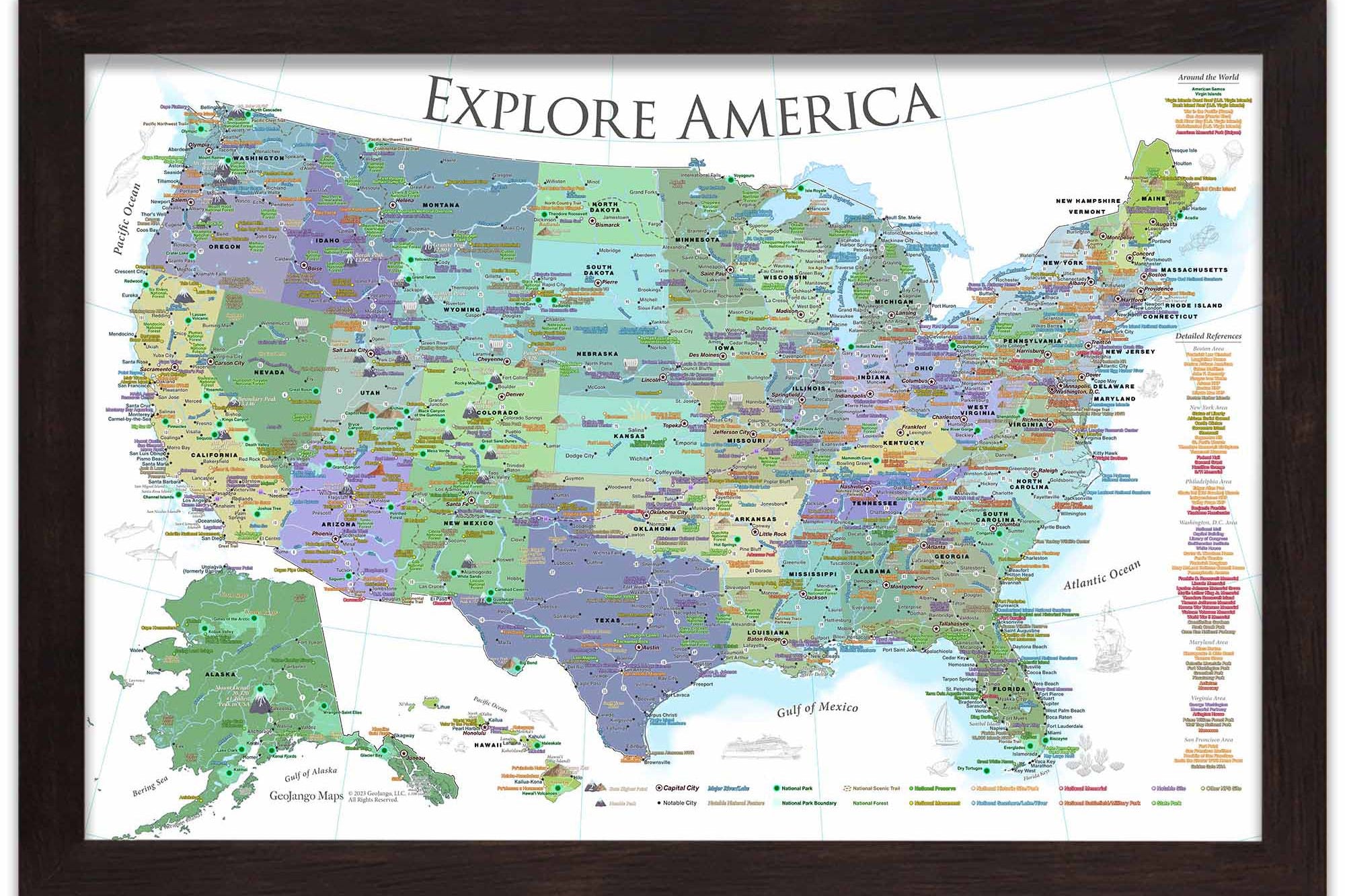
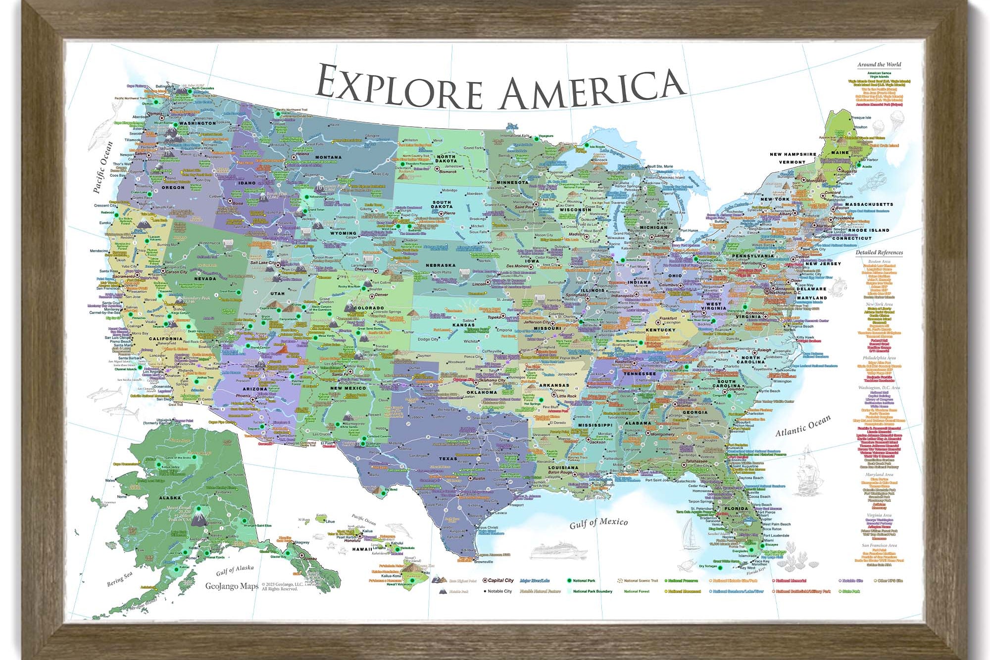
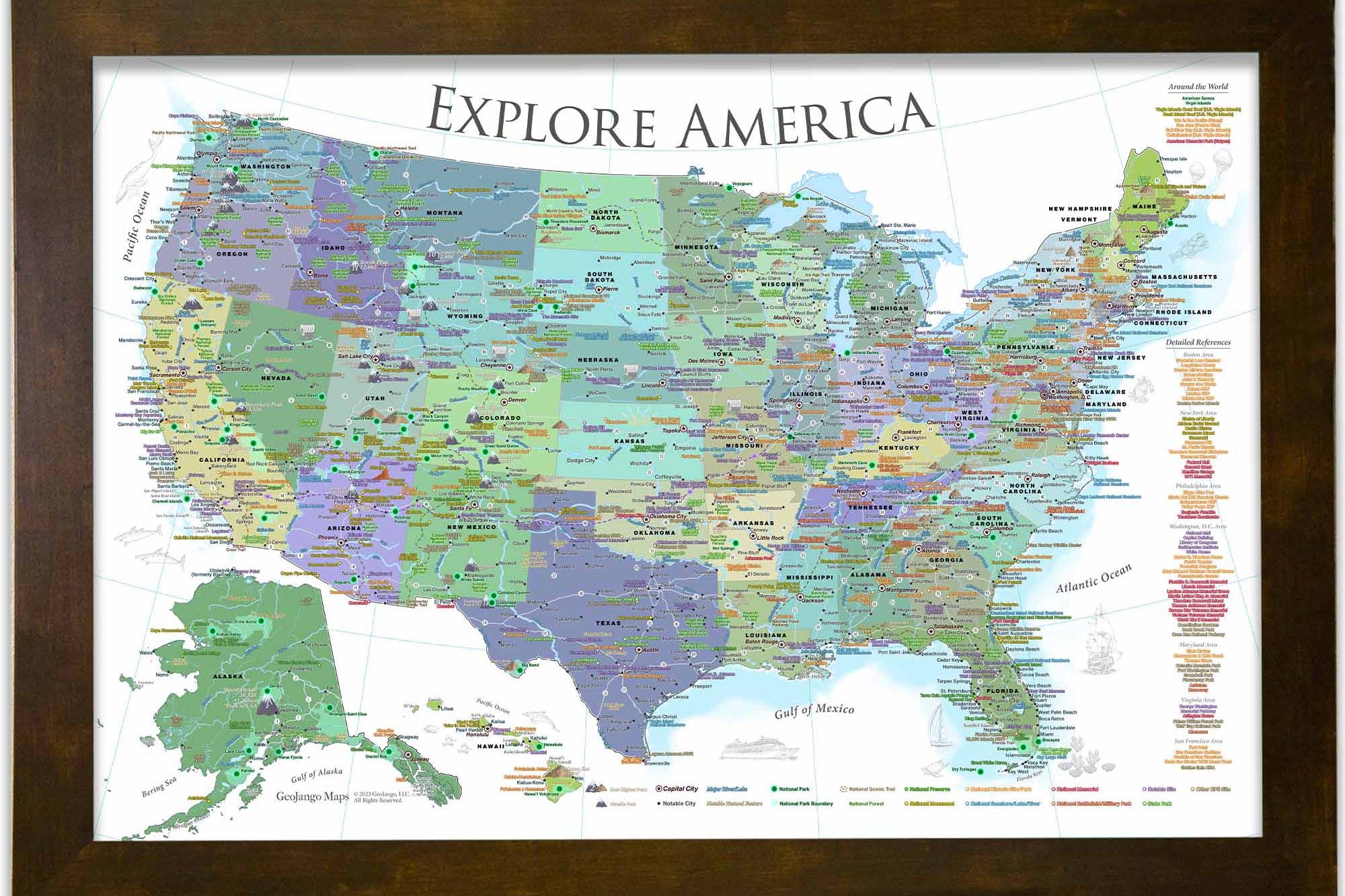
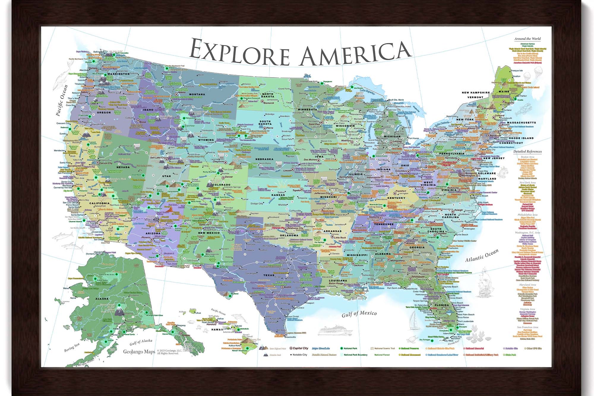
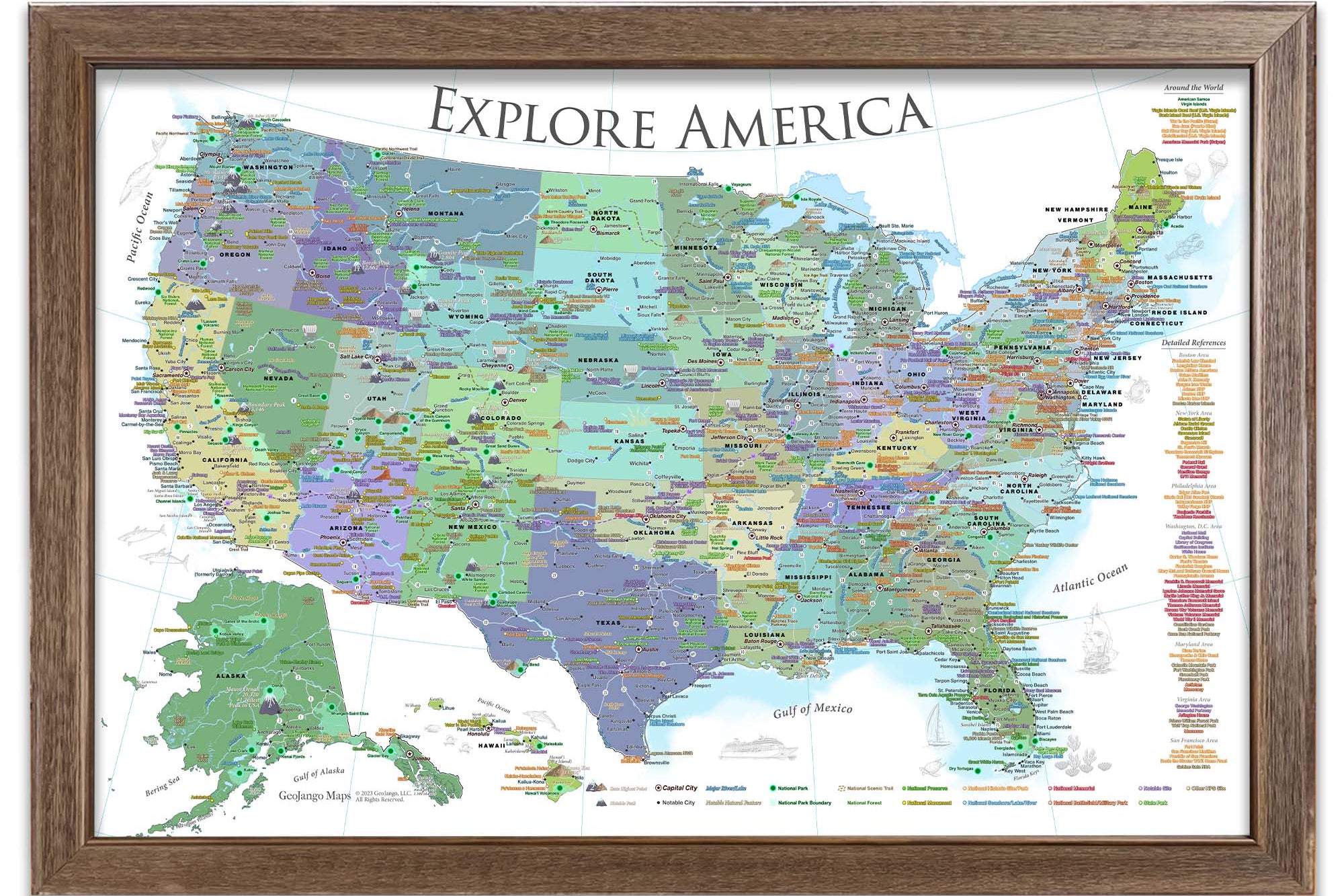
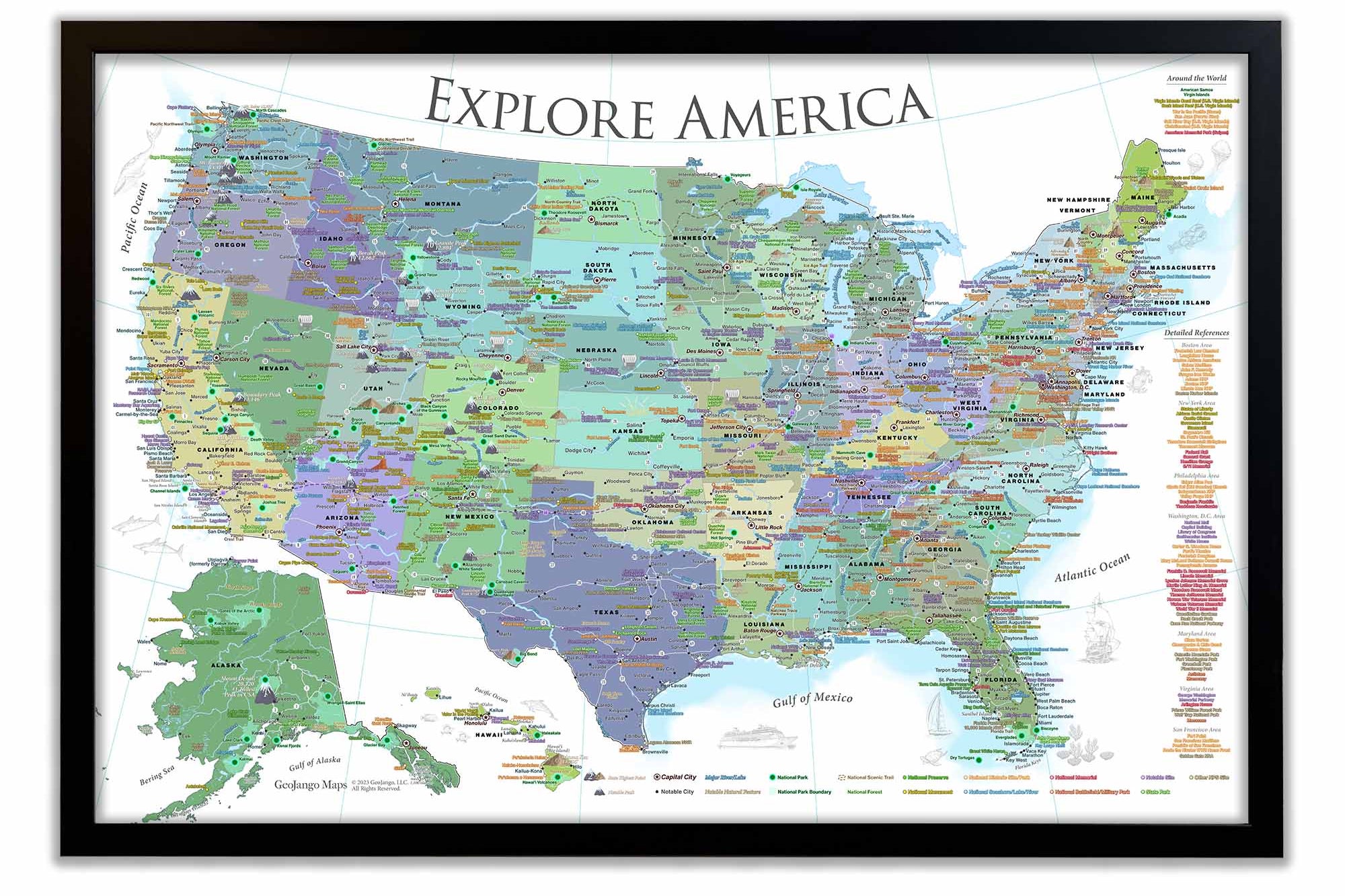
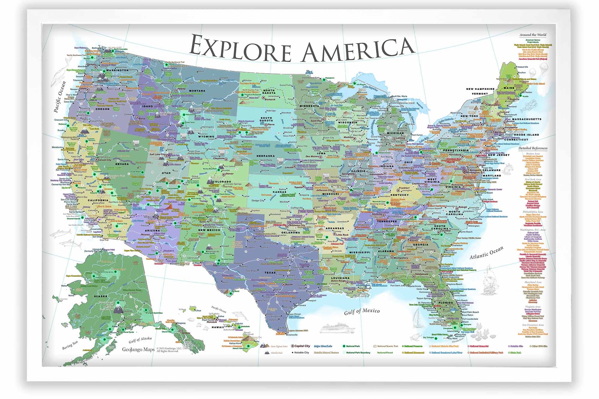
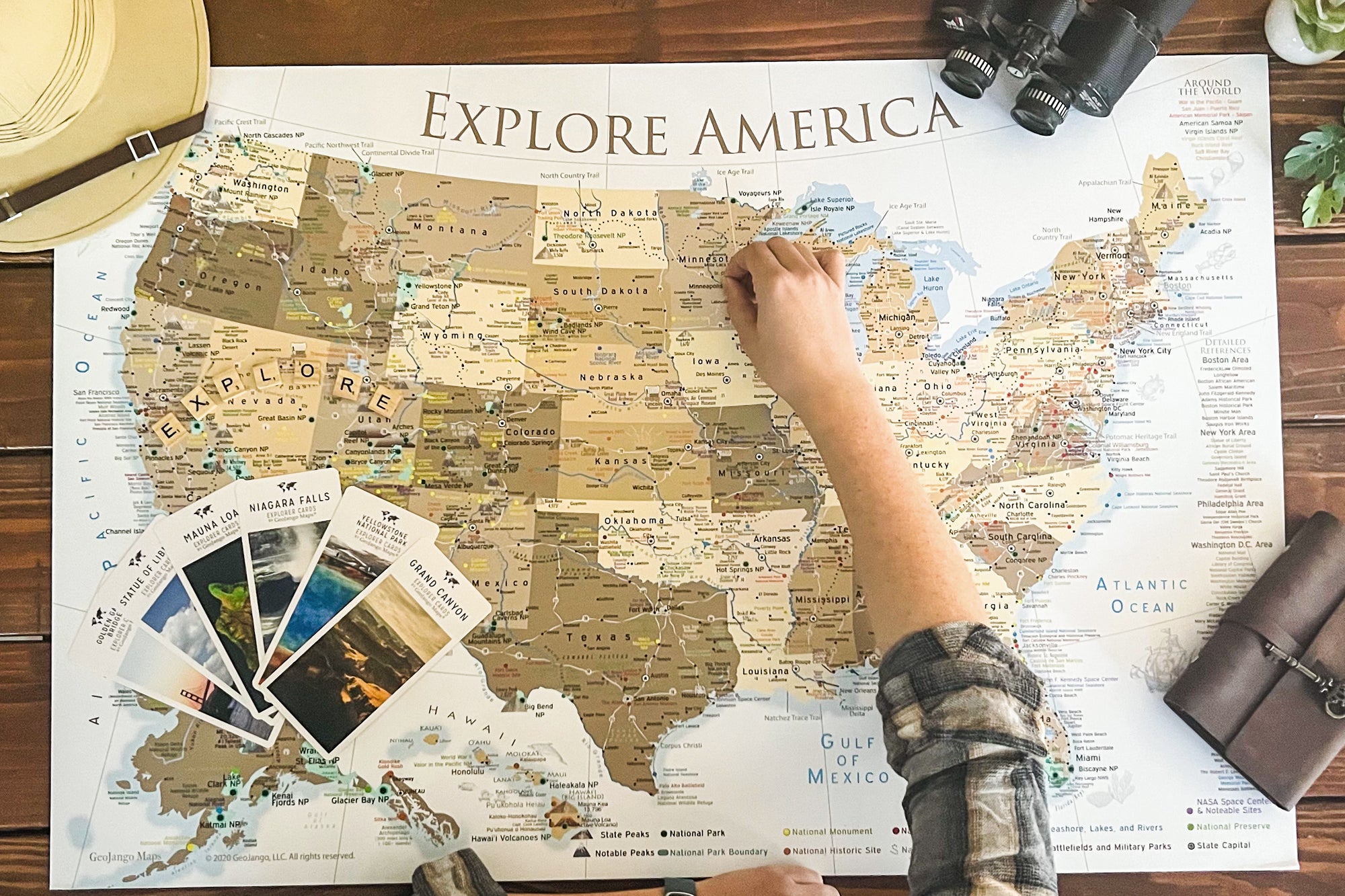
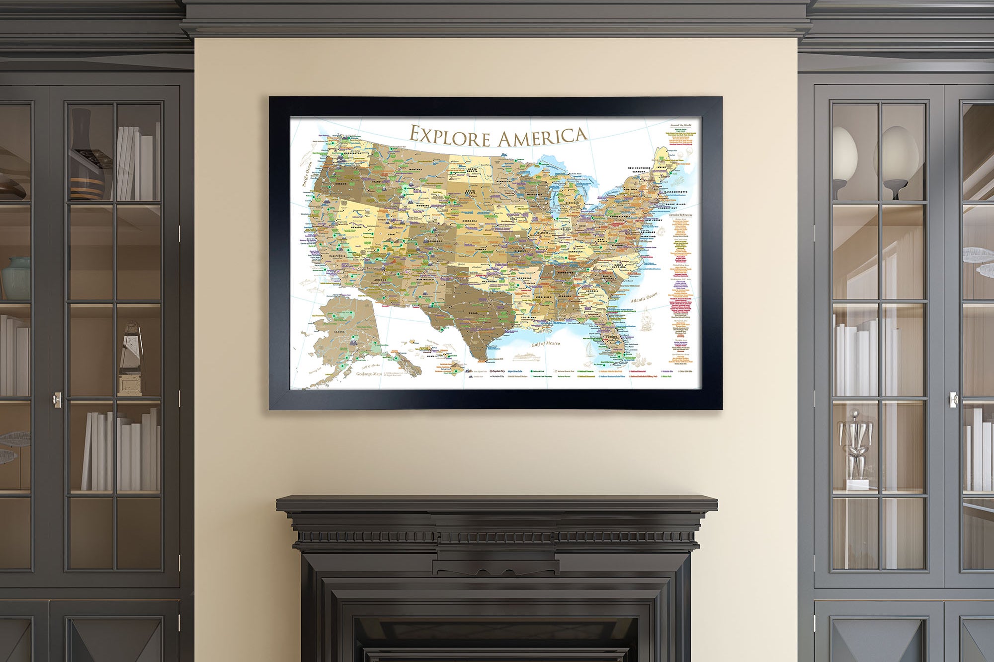
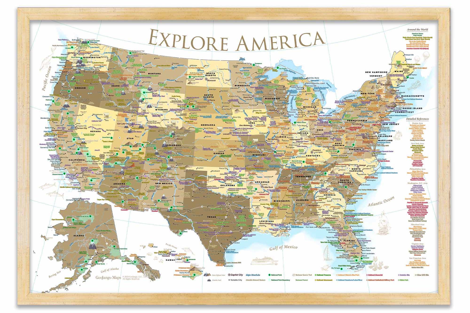
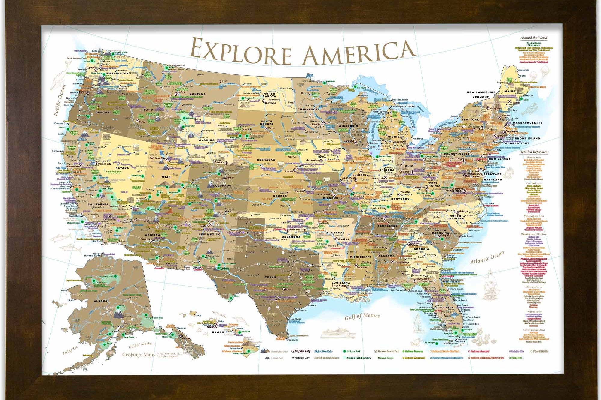
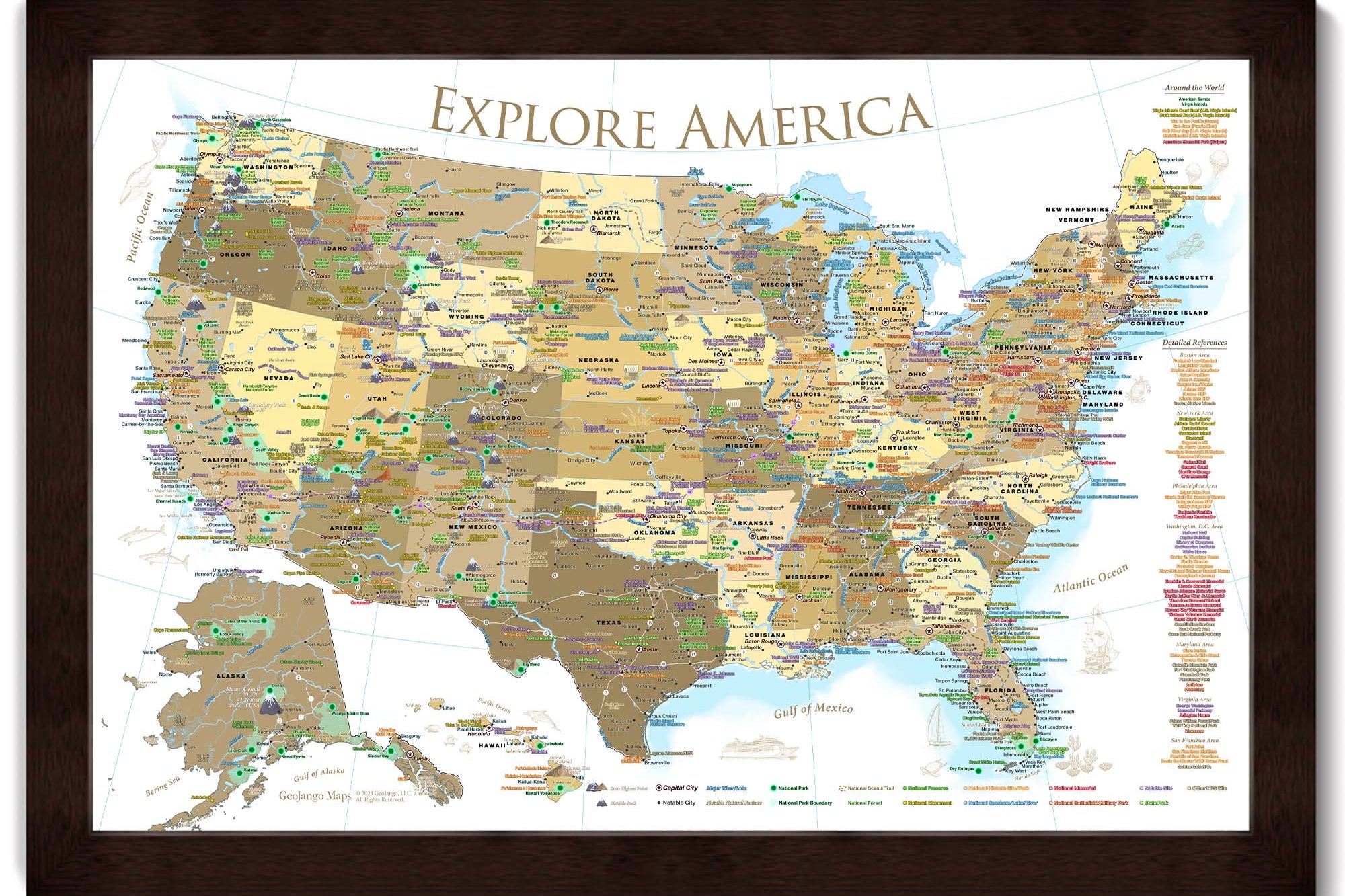
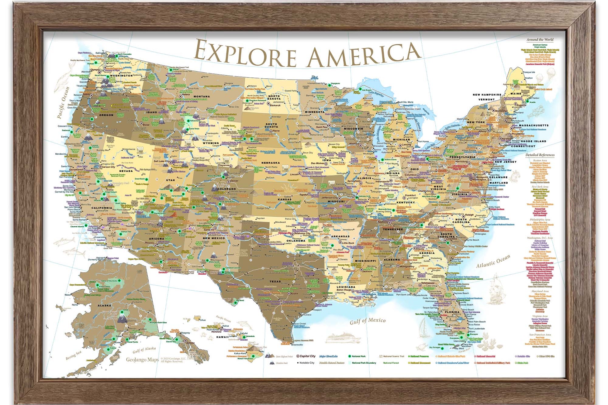
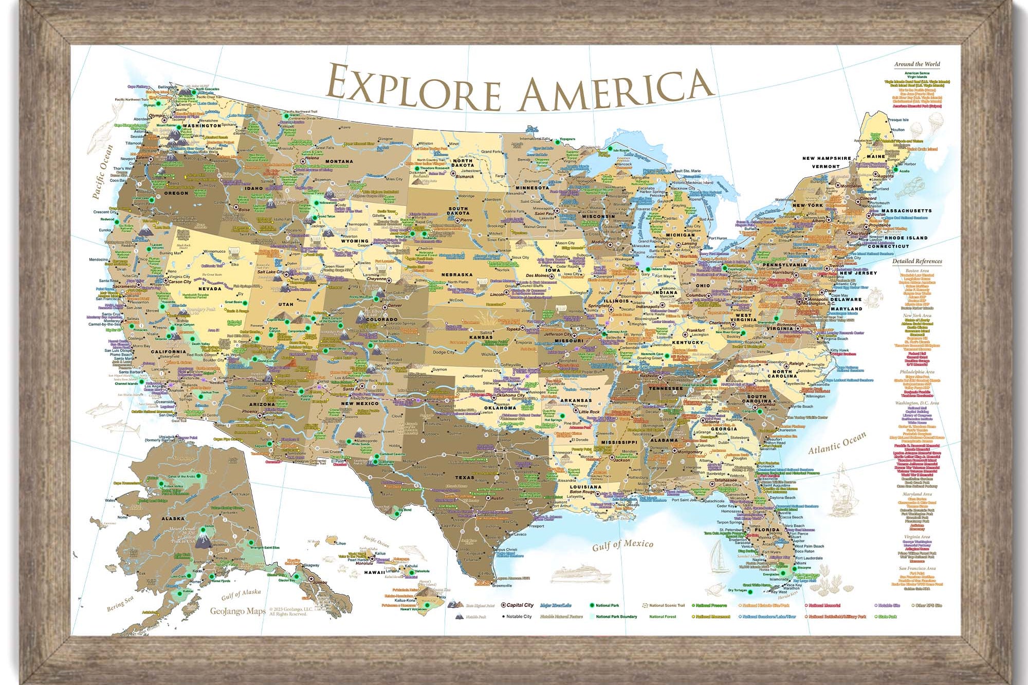
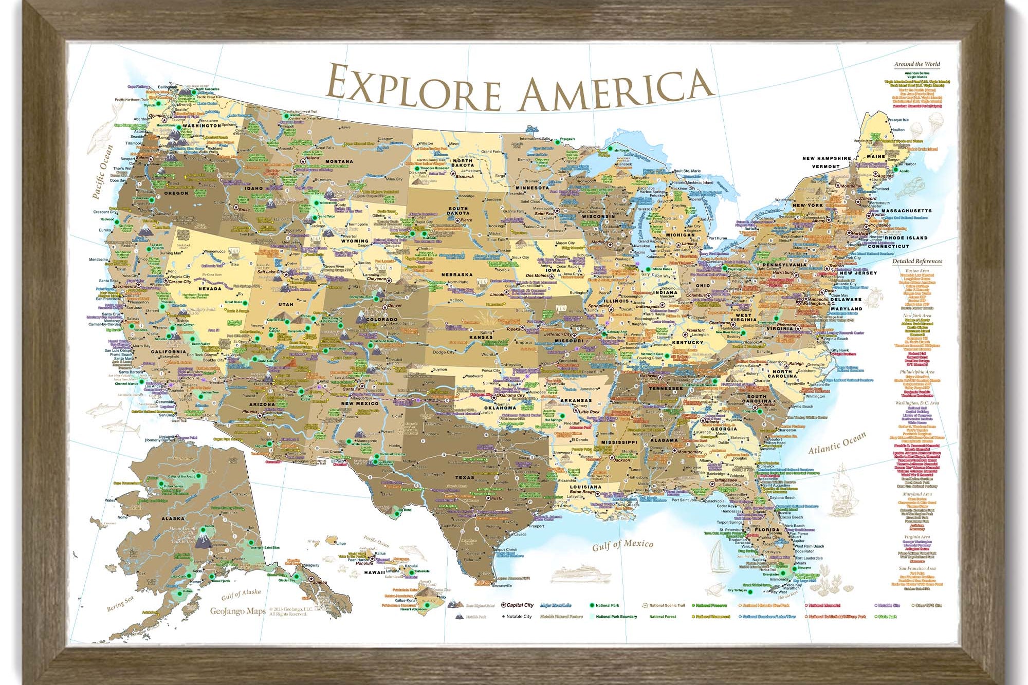
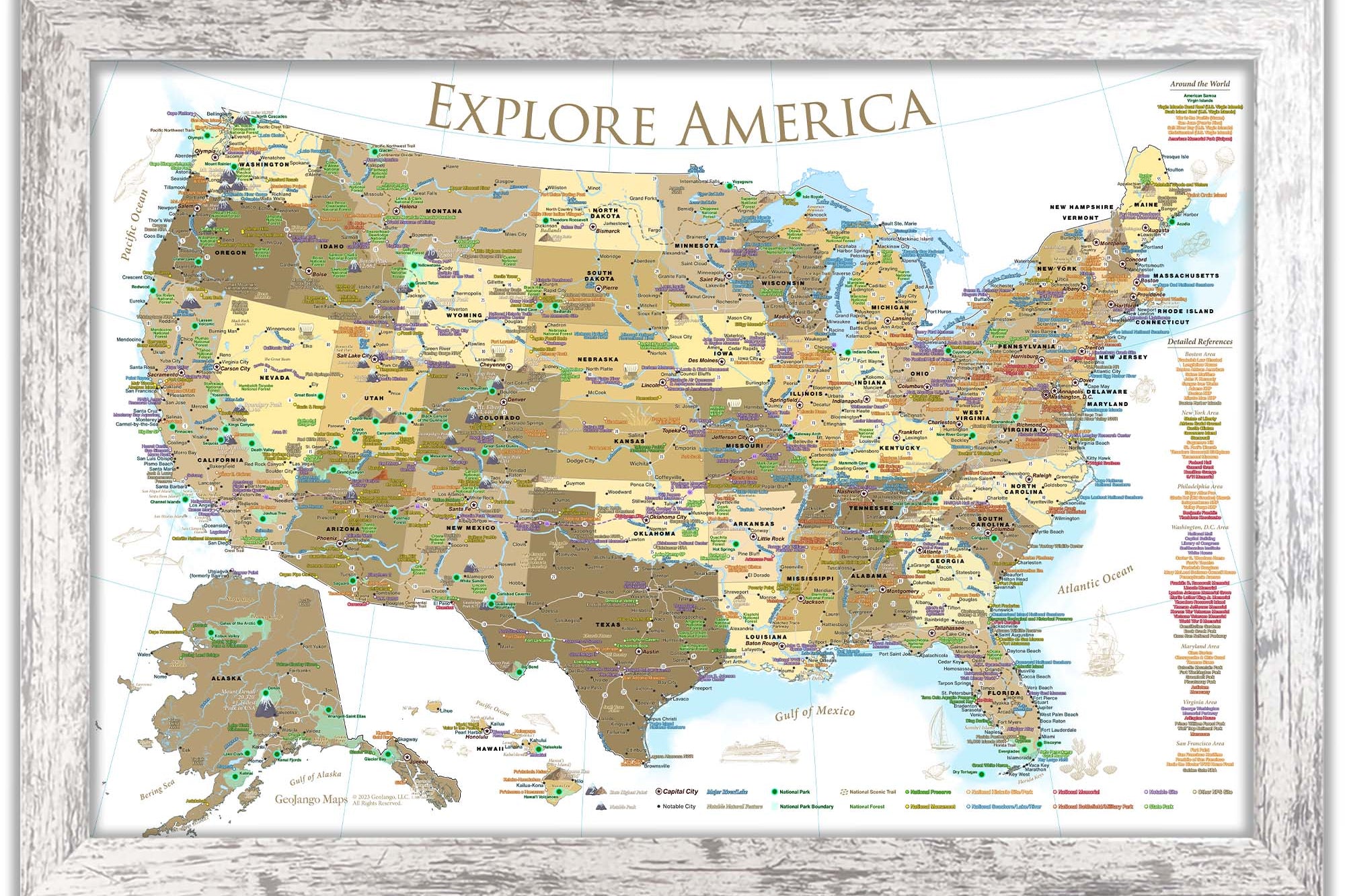
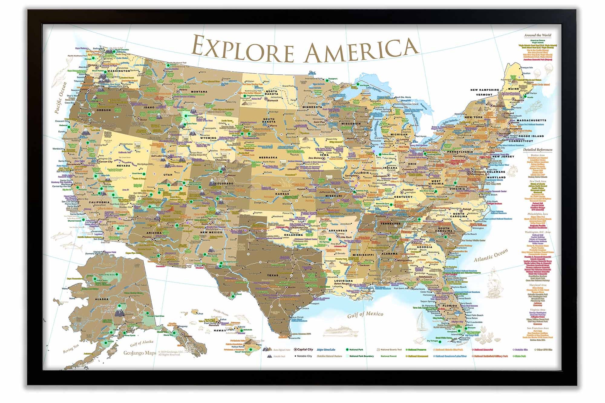
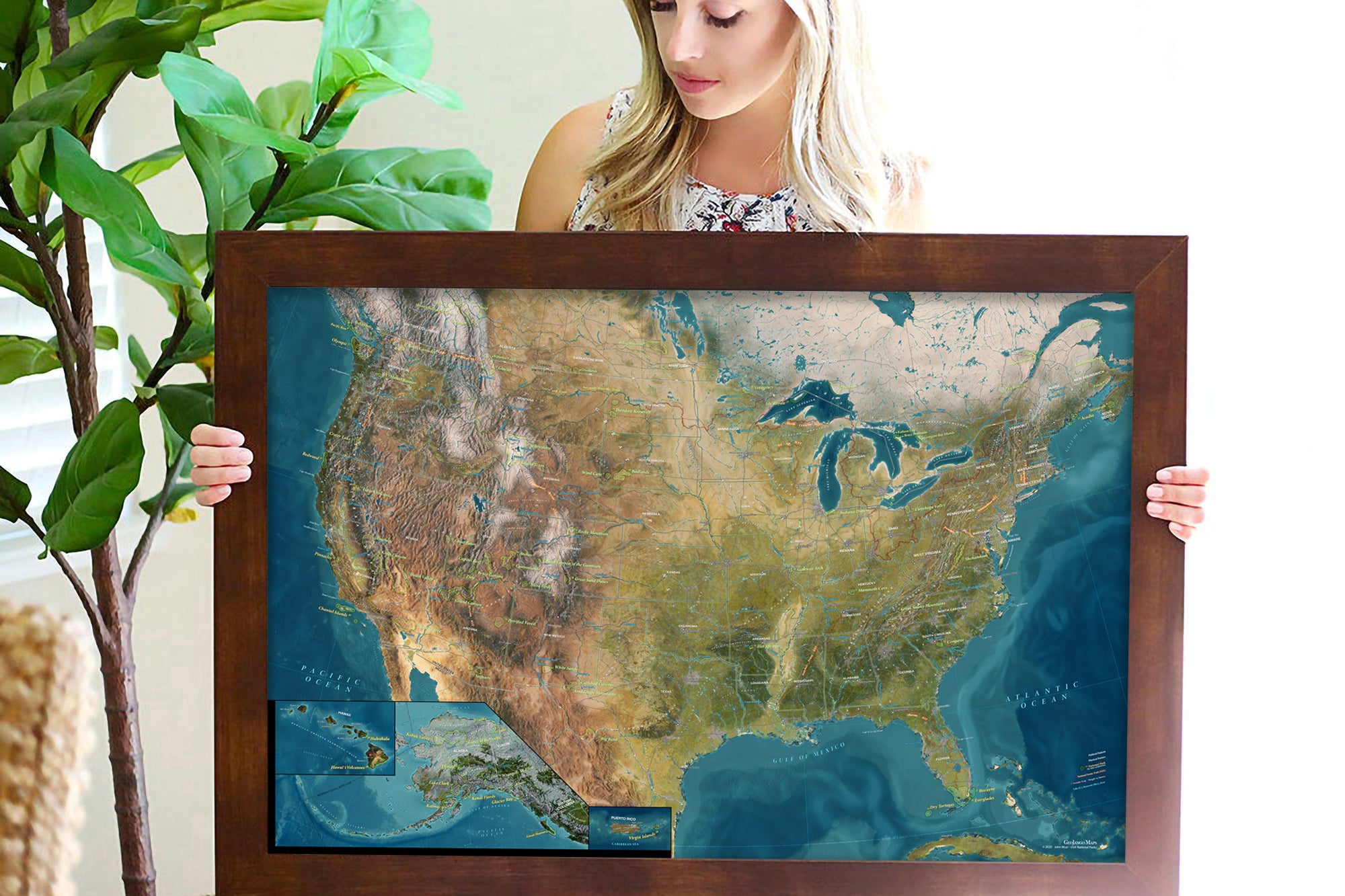
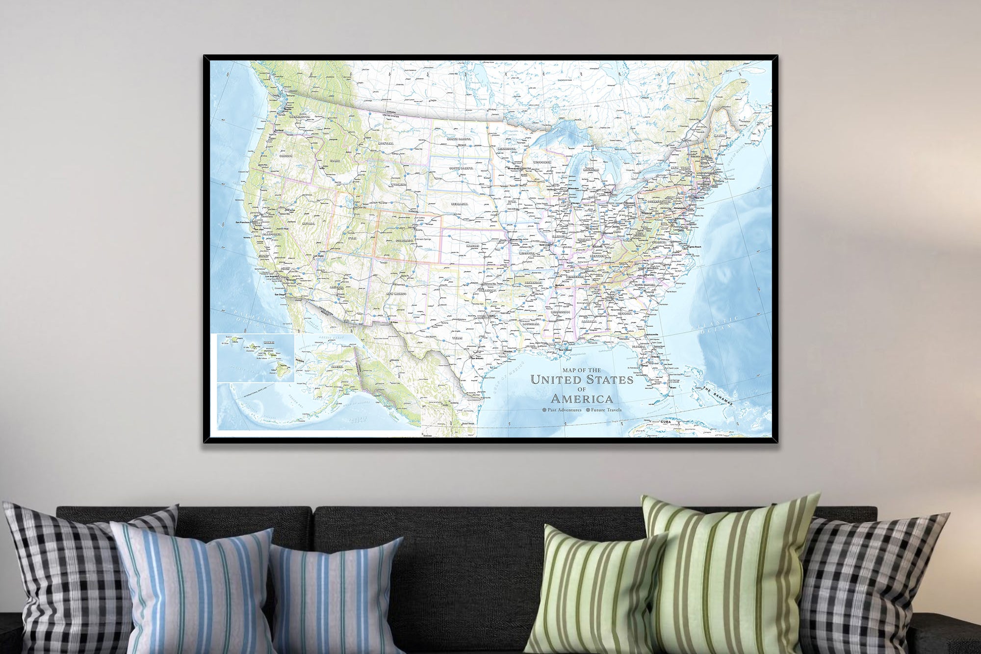
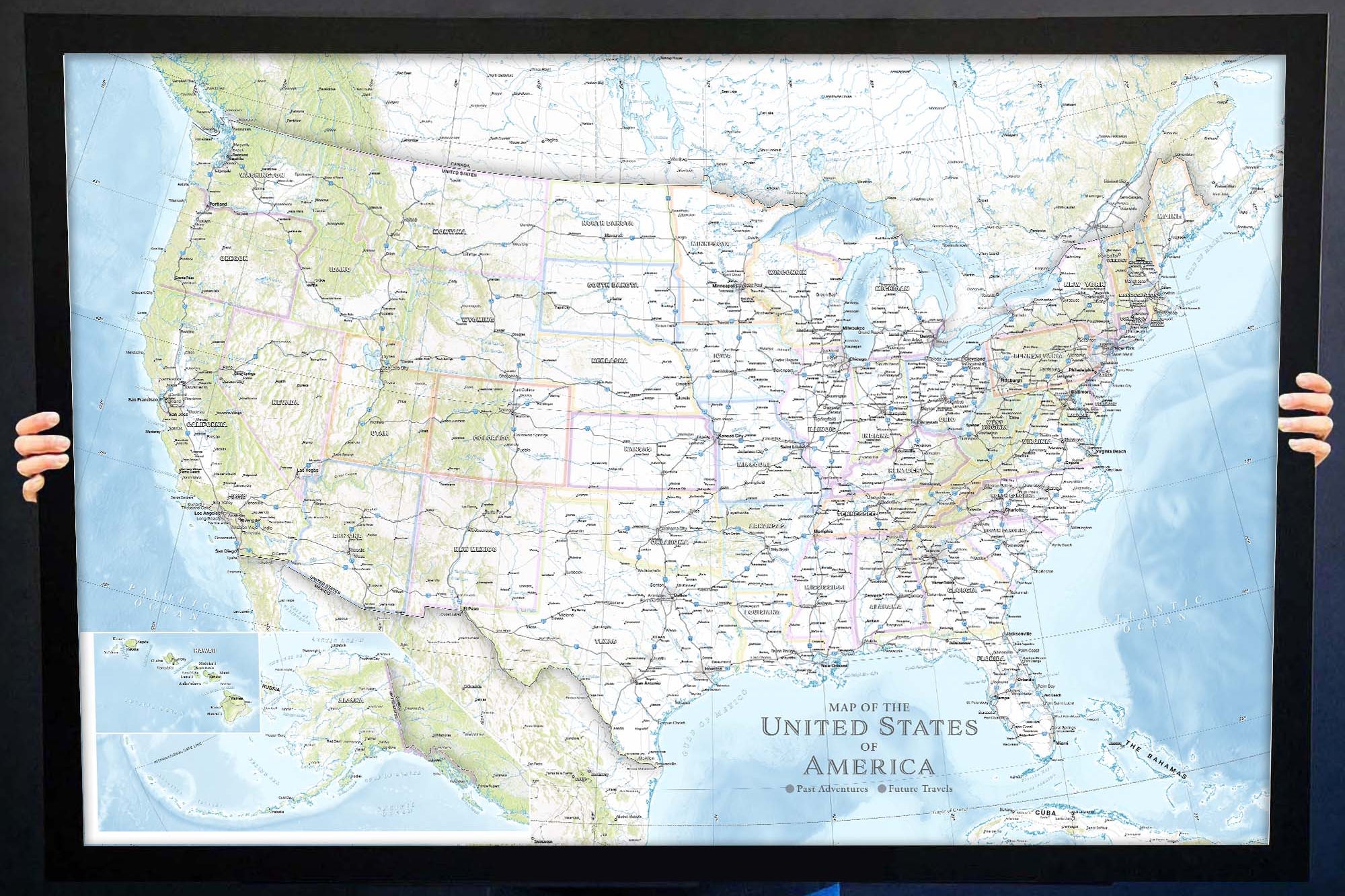
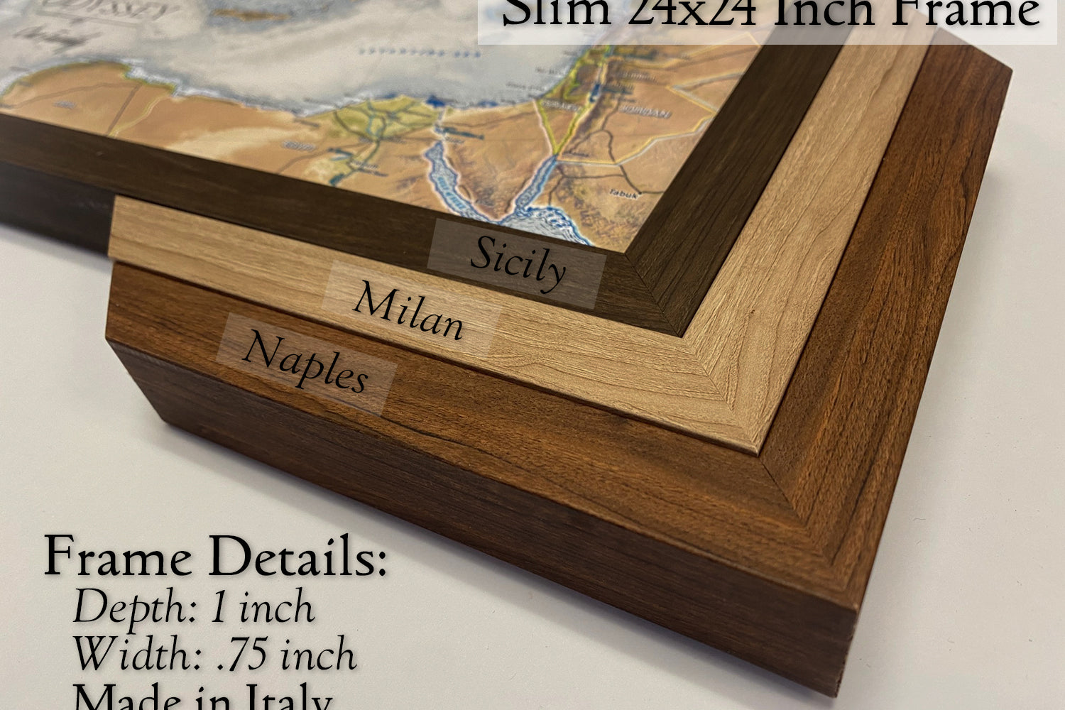
The details matter: Our products are created by a professional Geographer and Cartographer who has the passion and experience, including Master's degrees in GIS and Environmental Science, to create impressive maps for your home or office. We understand the massive amount of accurate information necessary for a great map, so we highly recommend our maps — professionally designed with GIS.
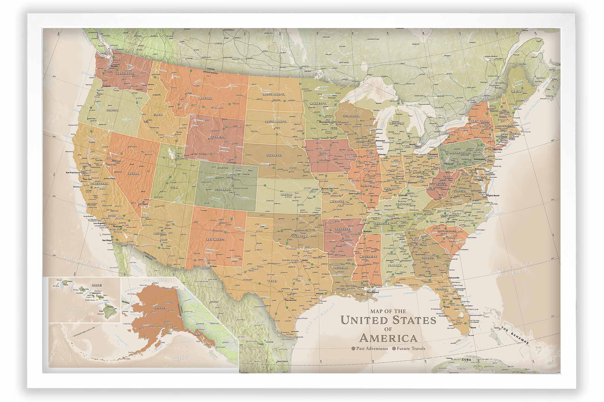
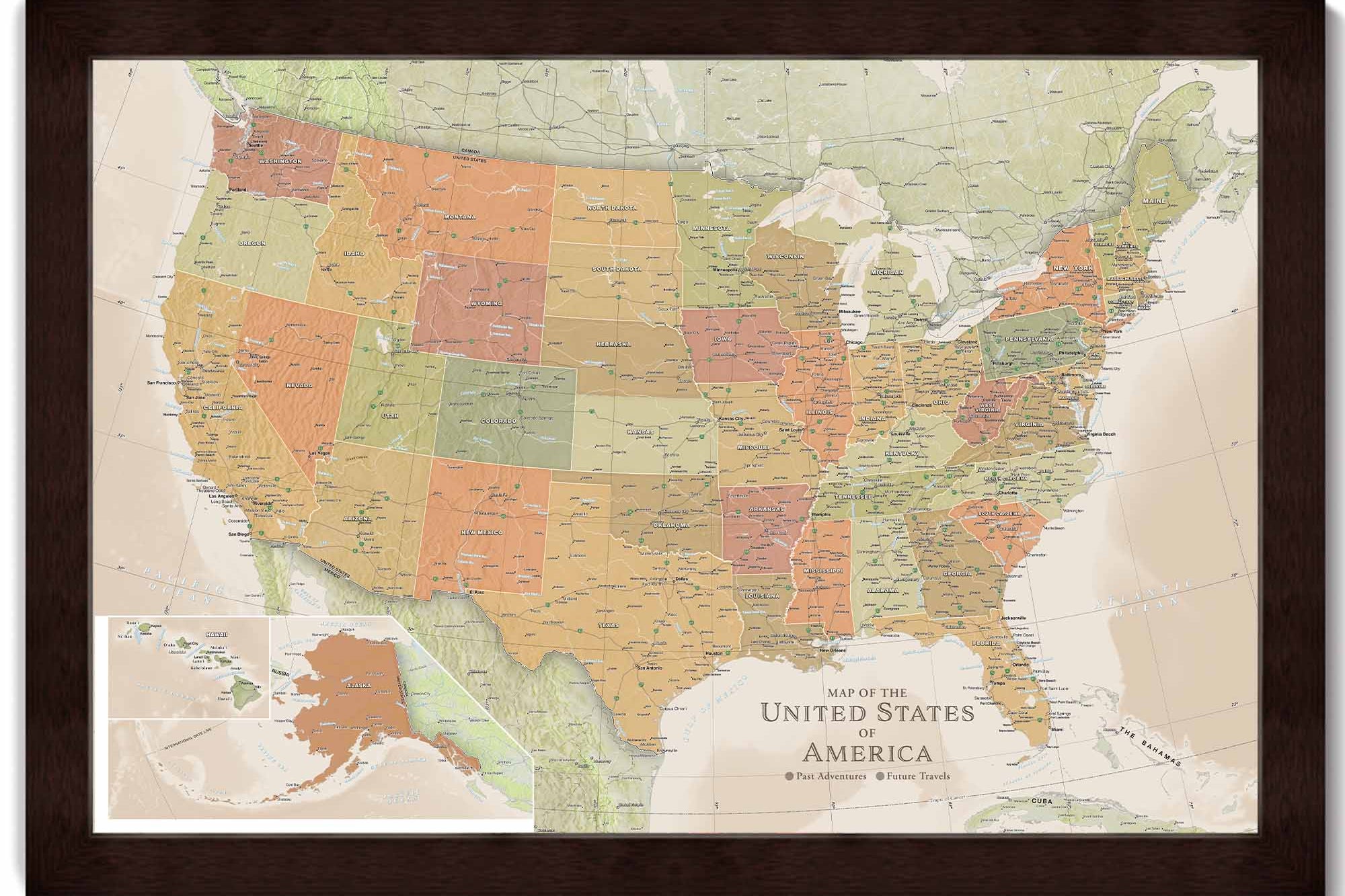
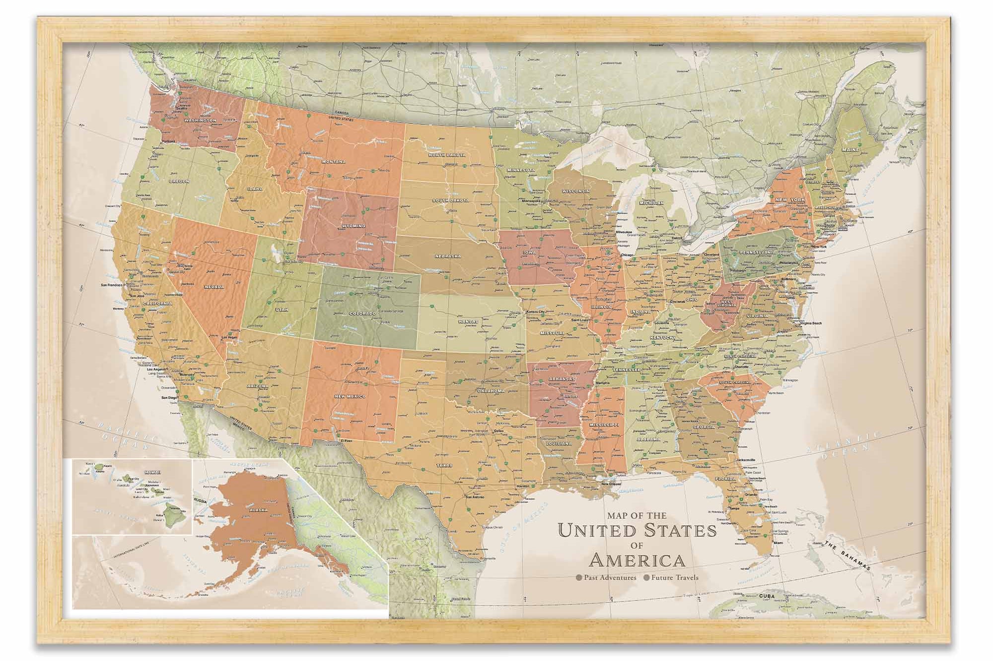
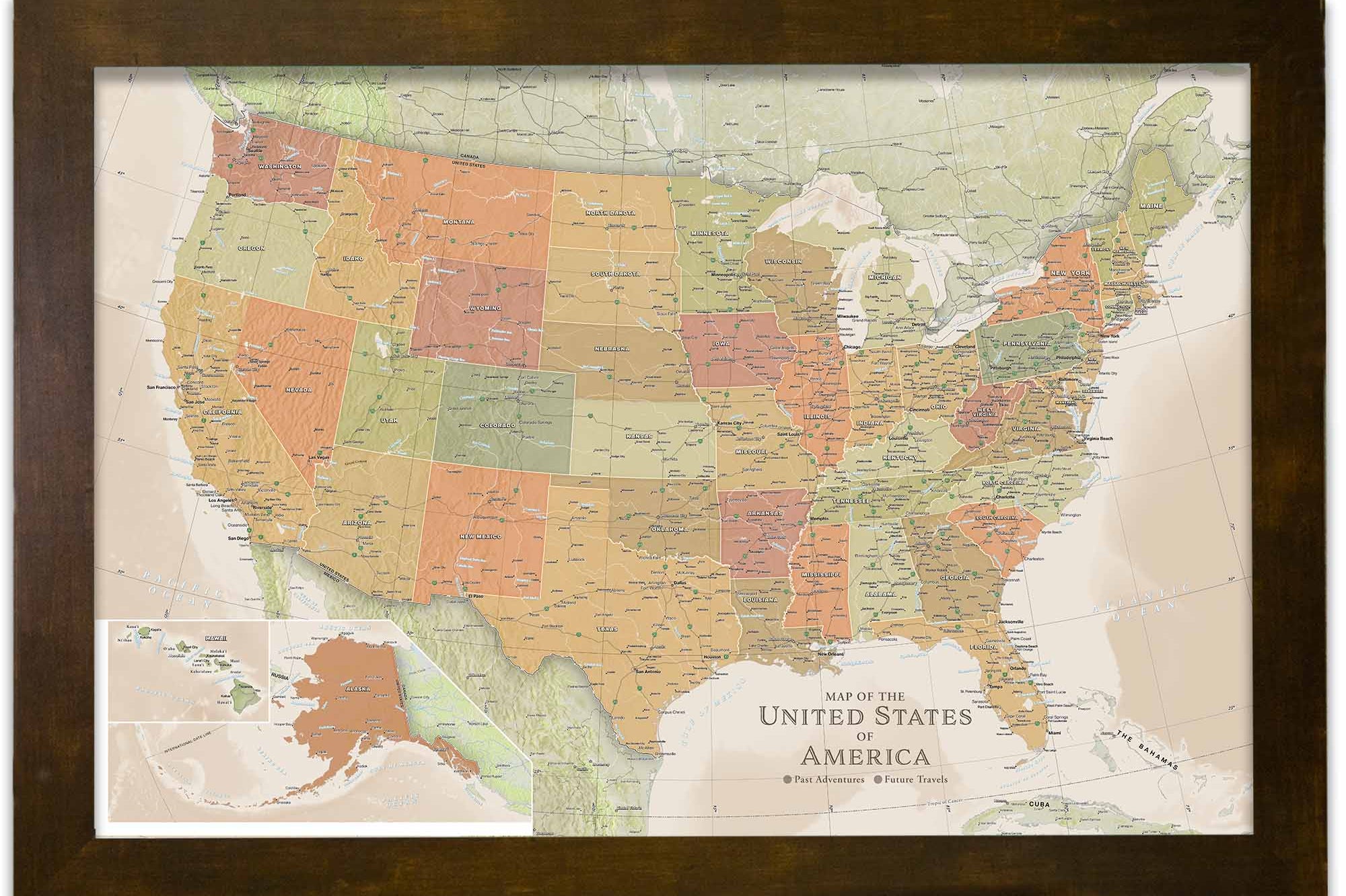
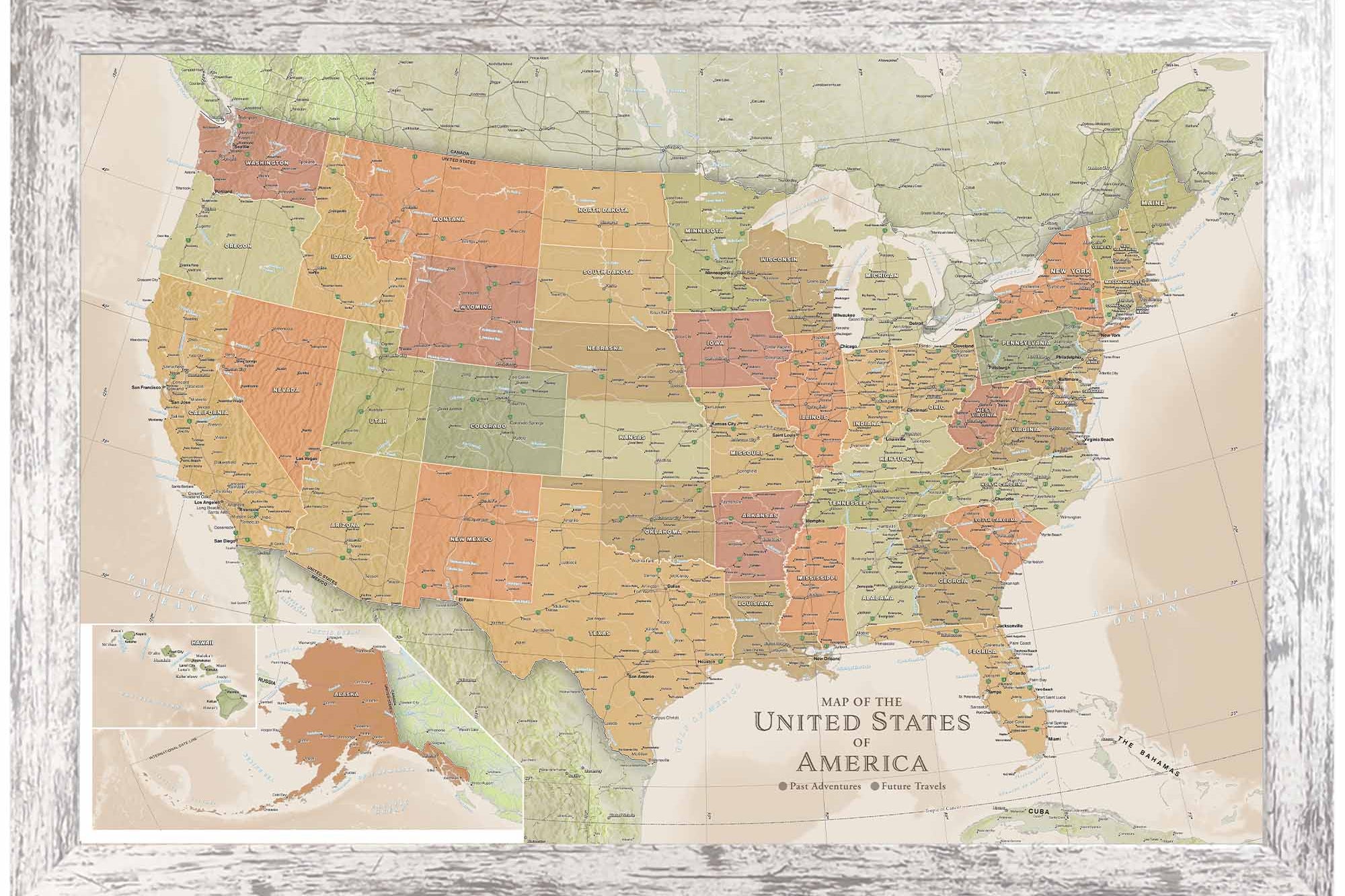
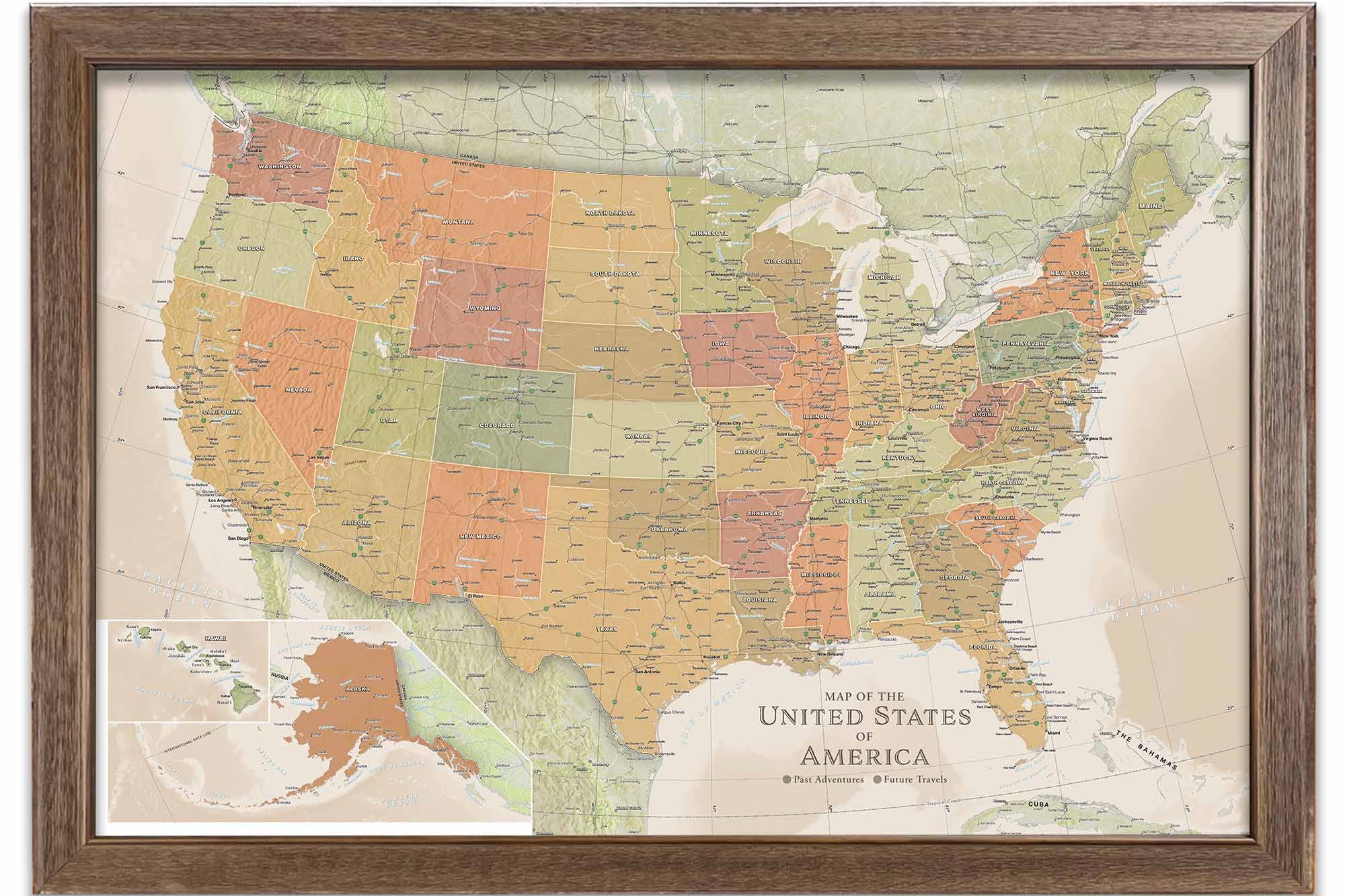
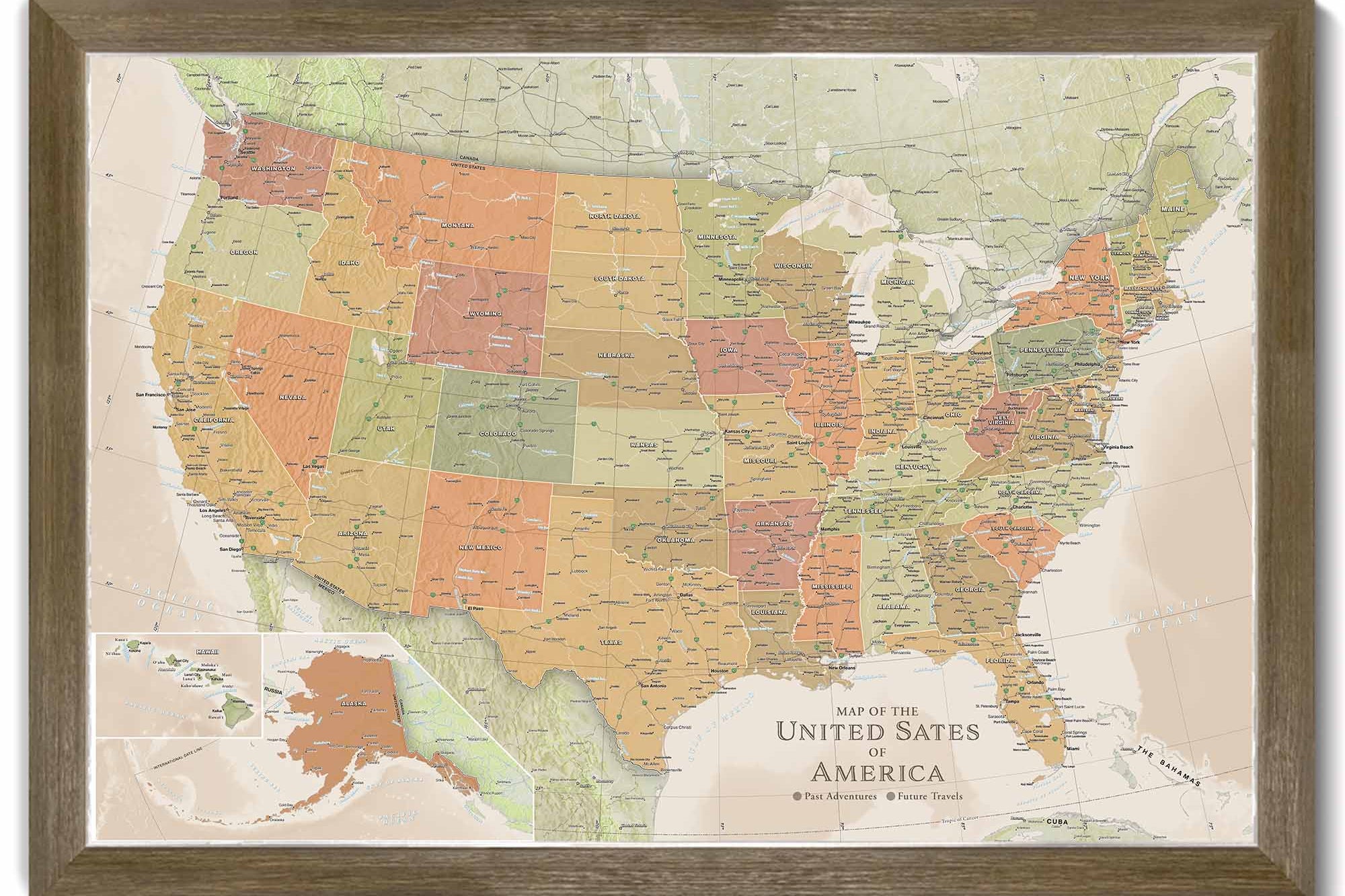
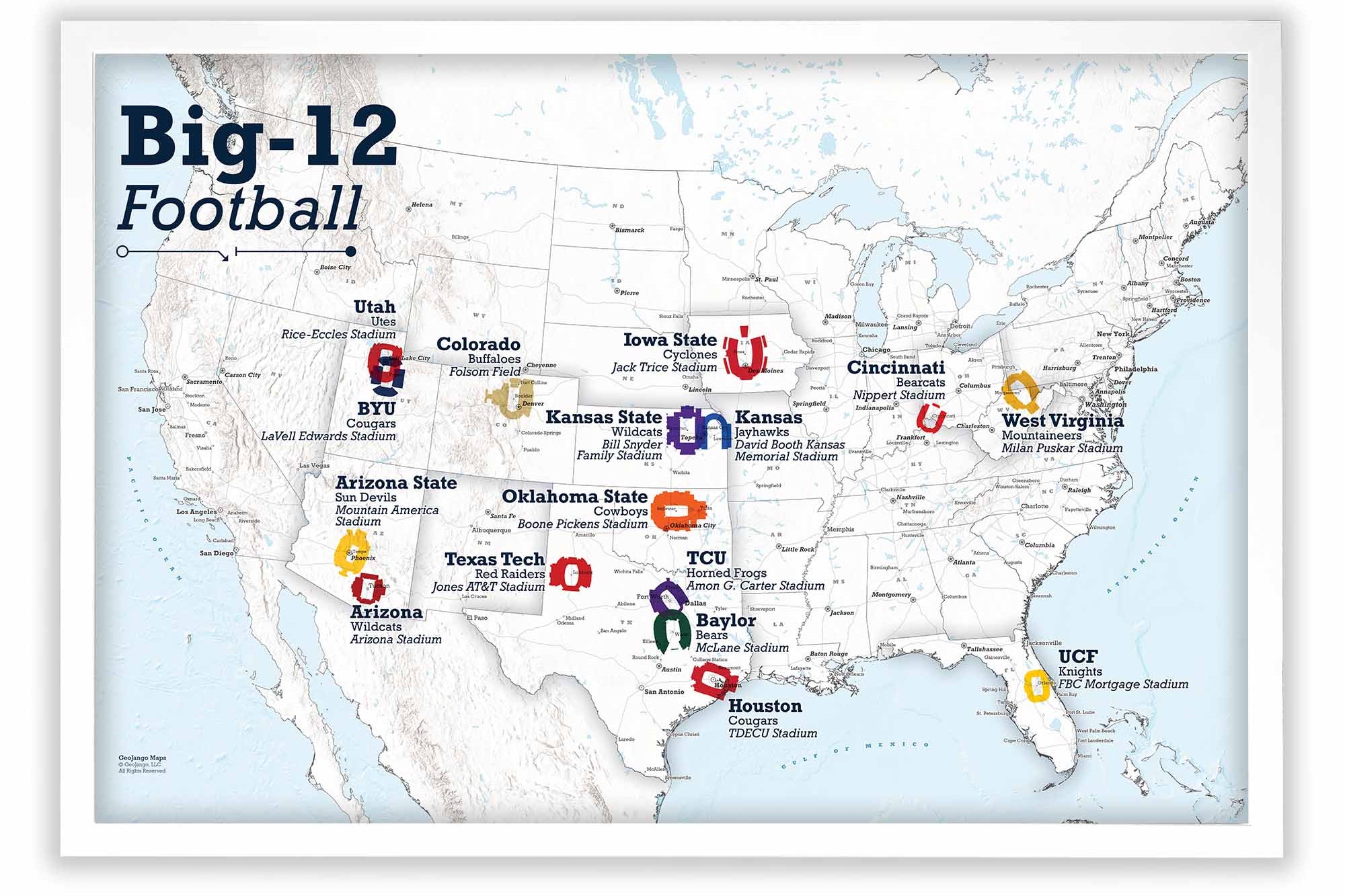
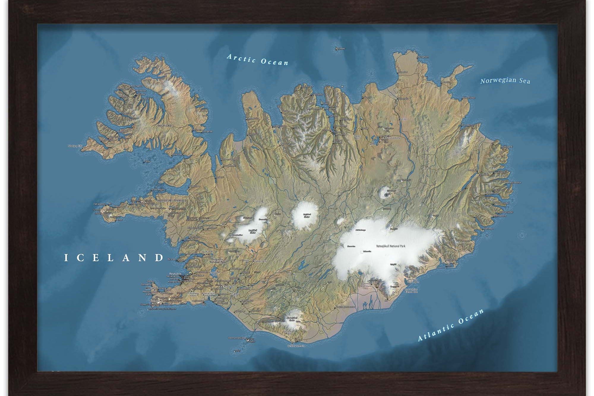
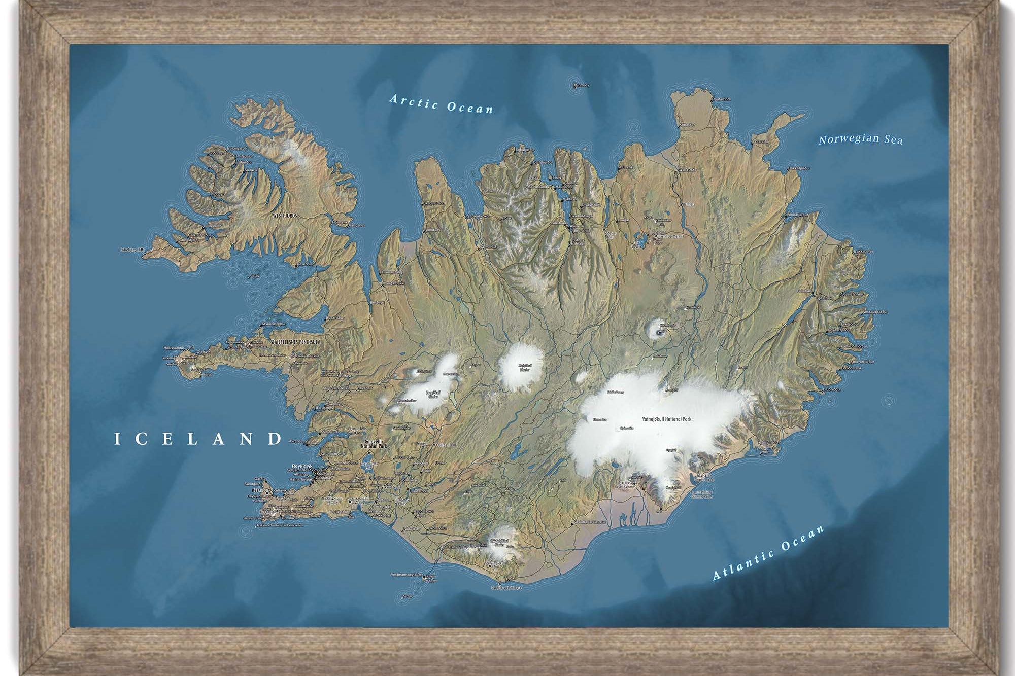
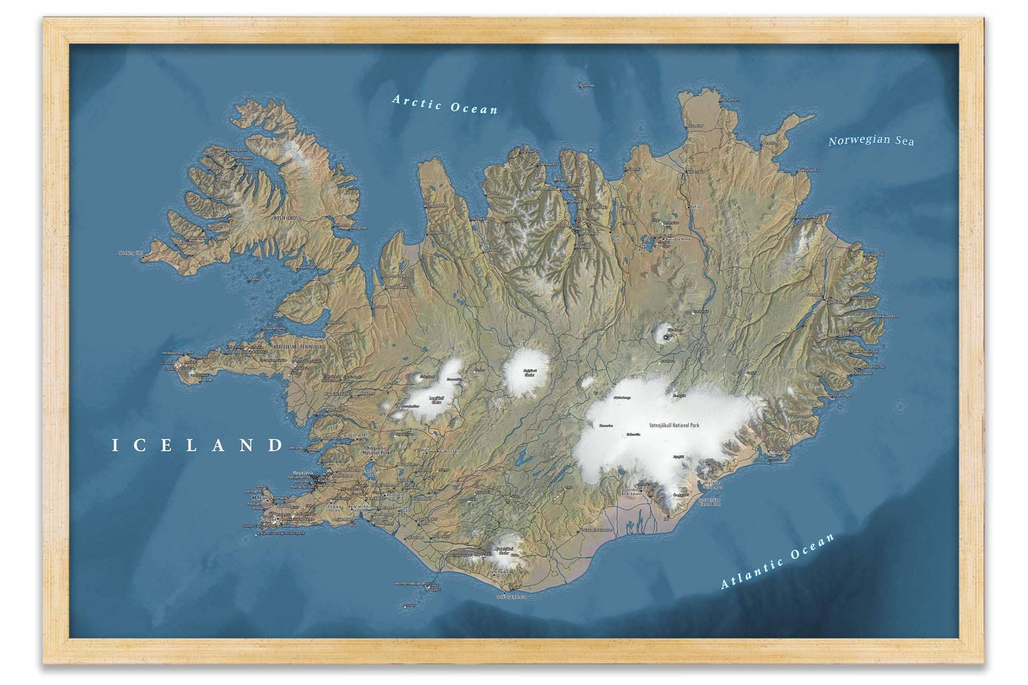
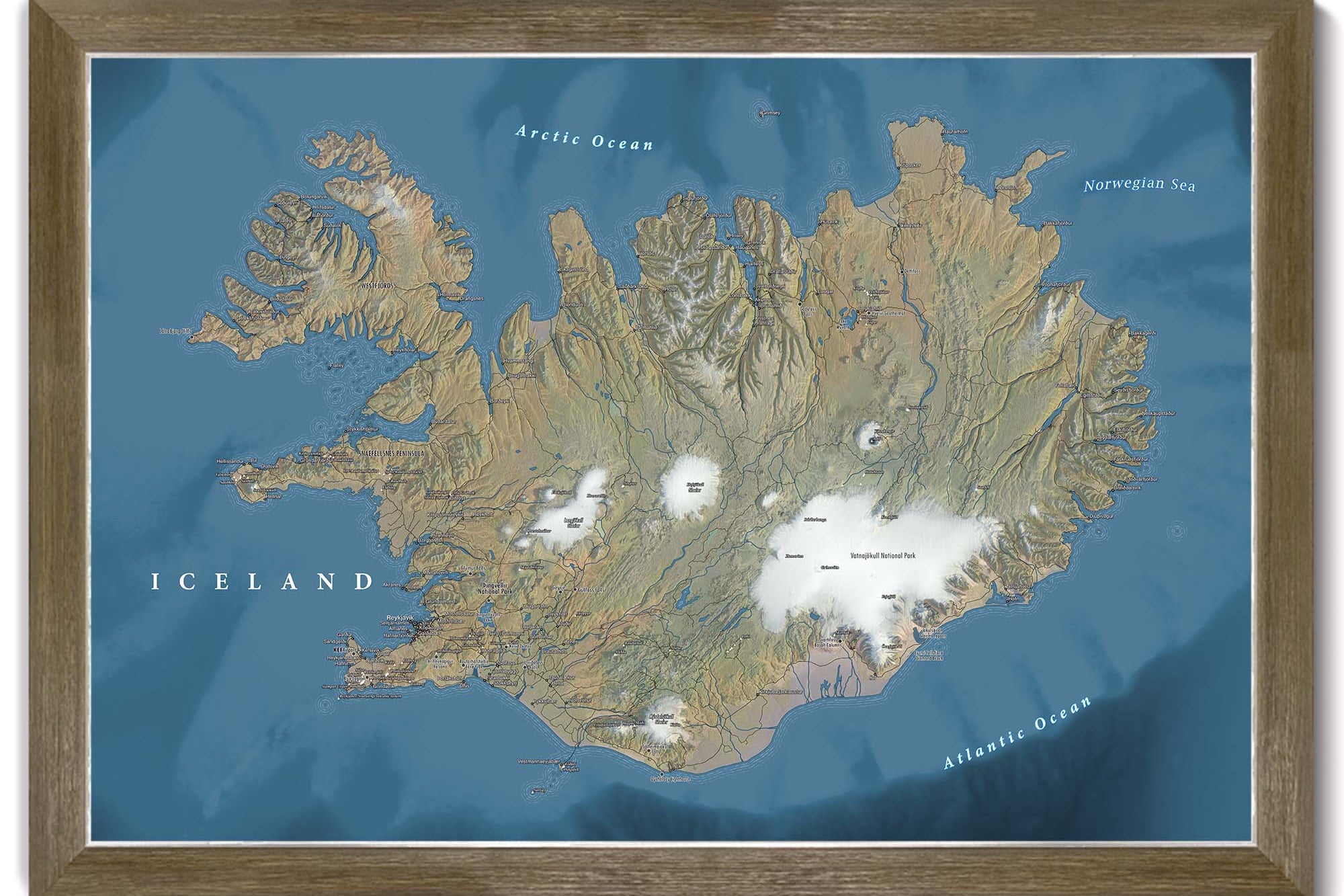
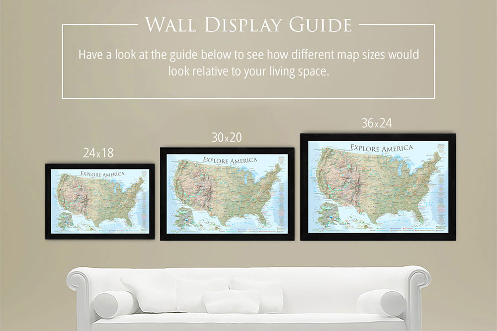
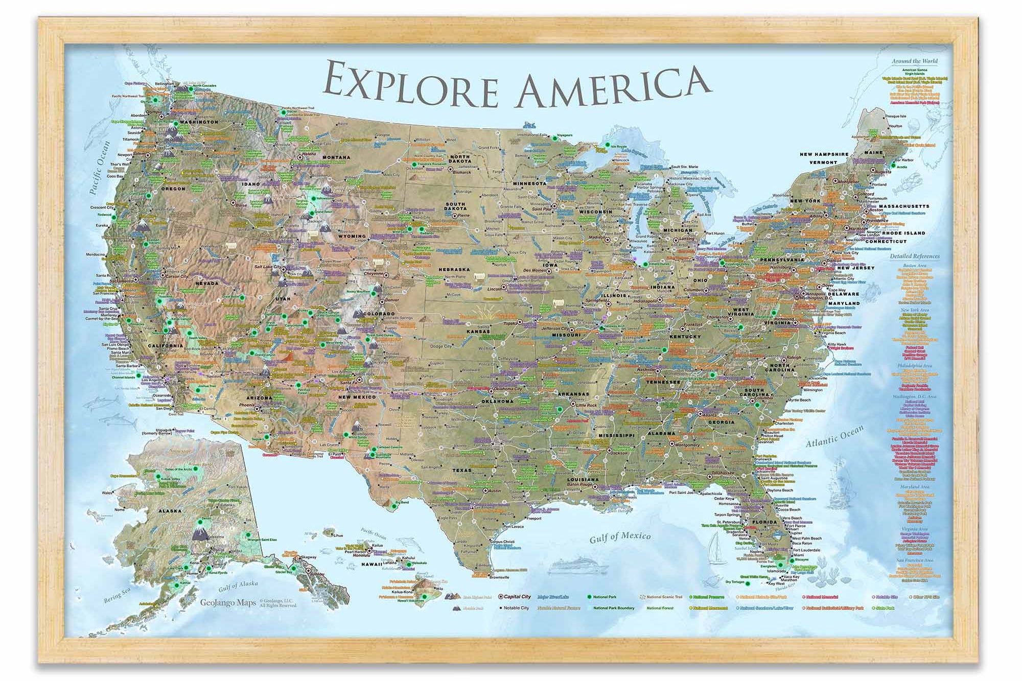
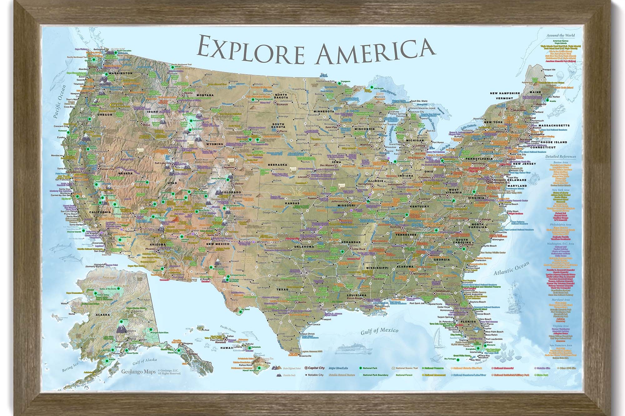
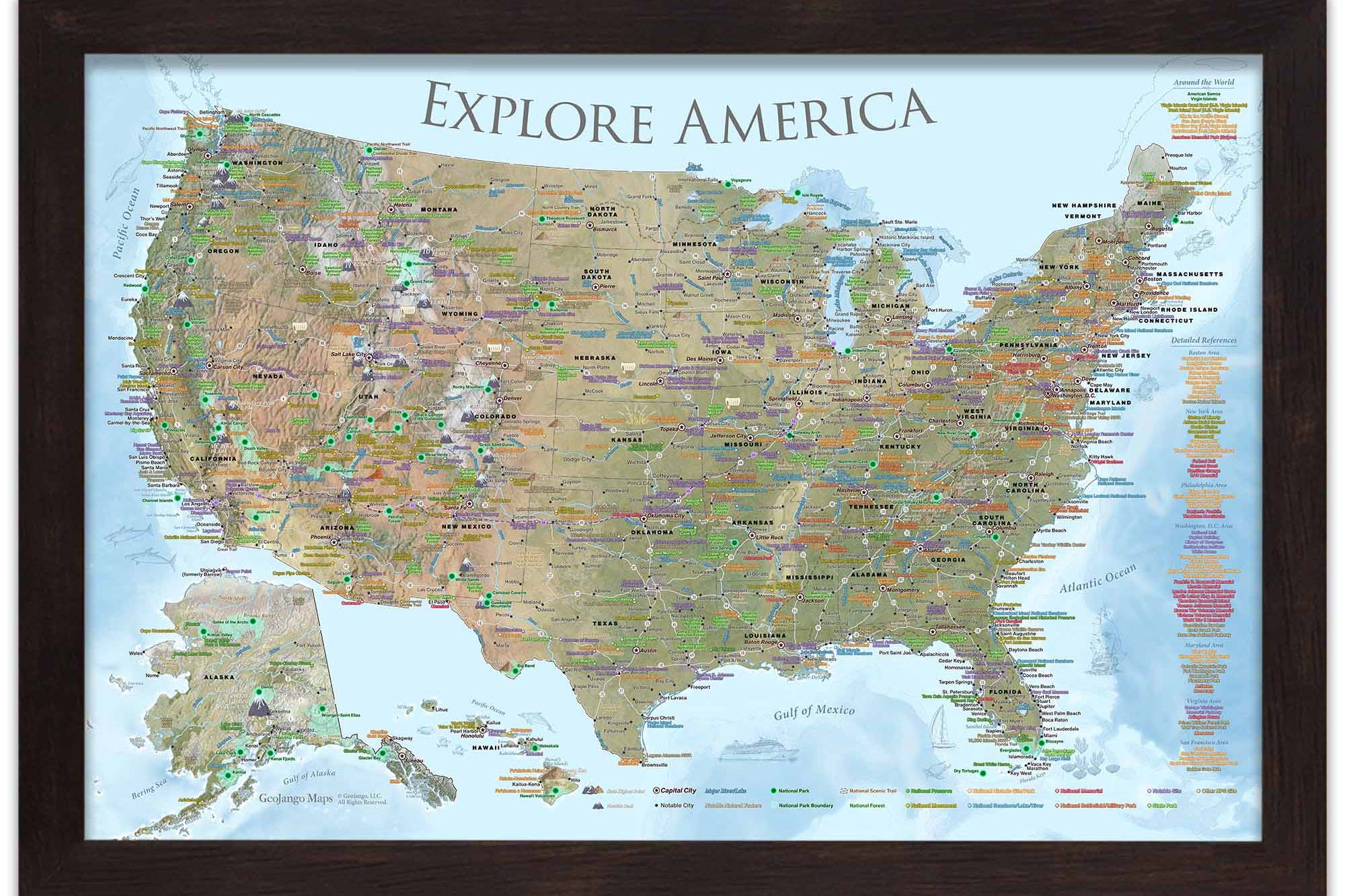
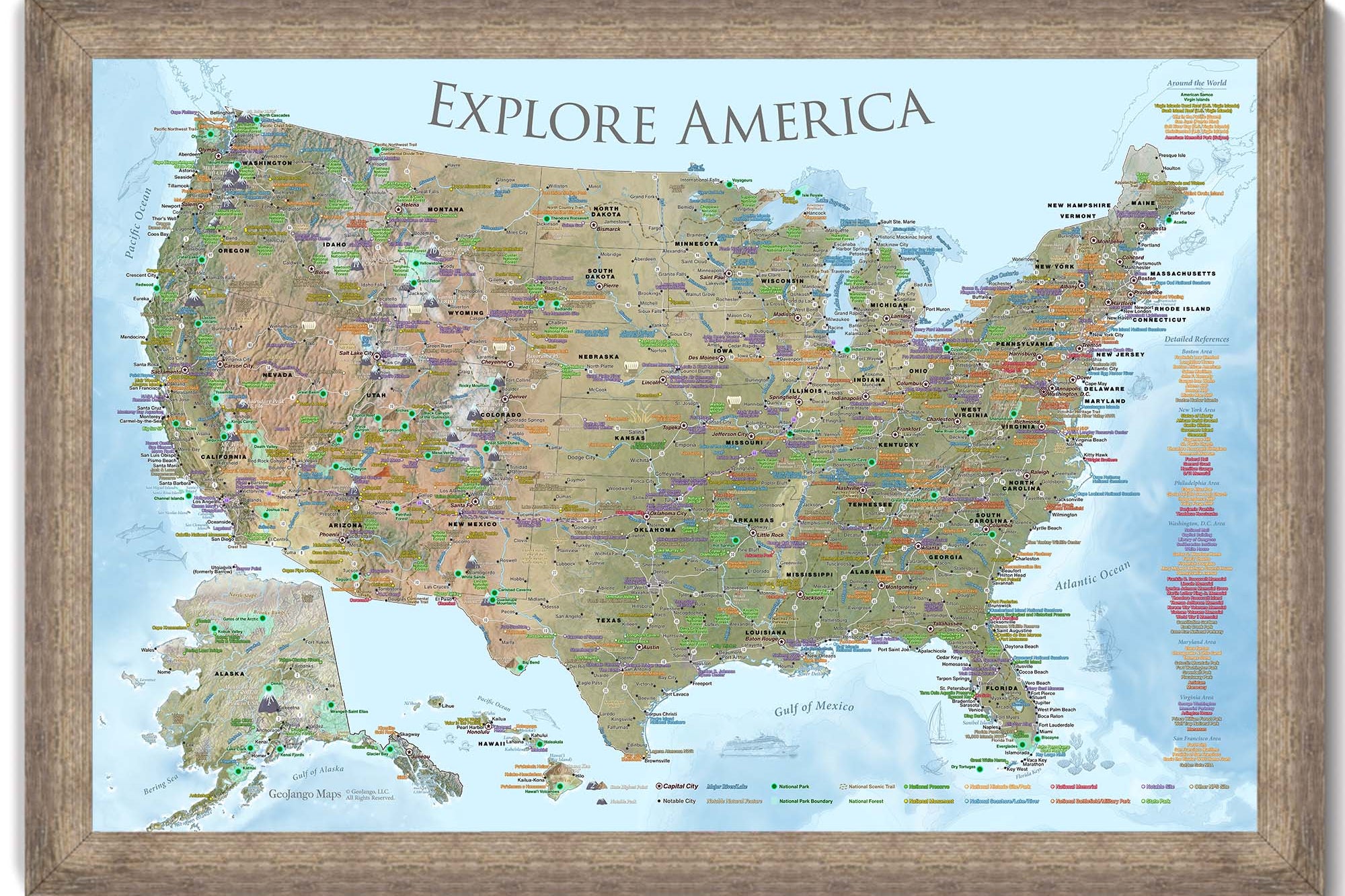
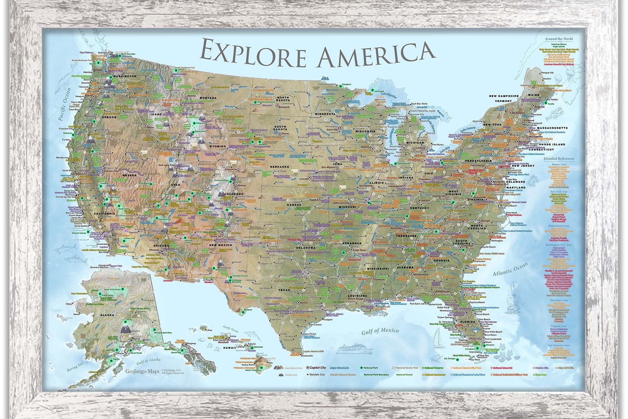
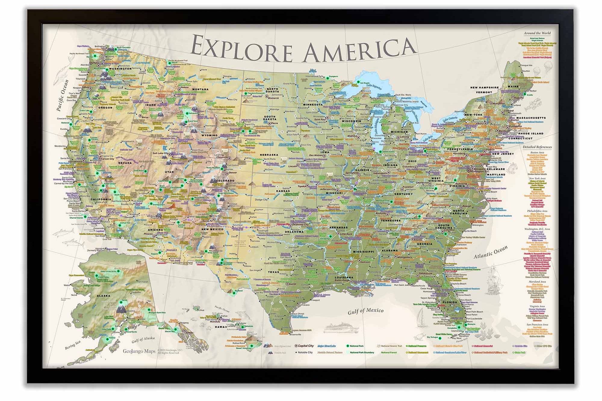
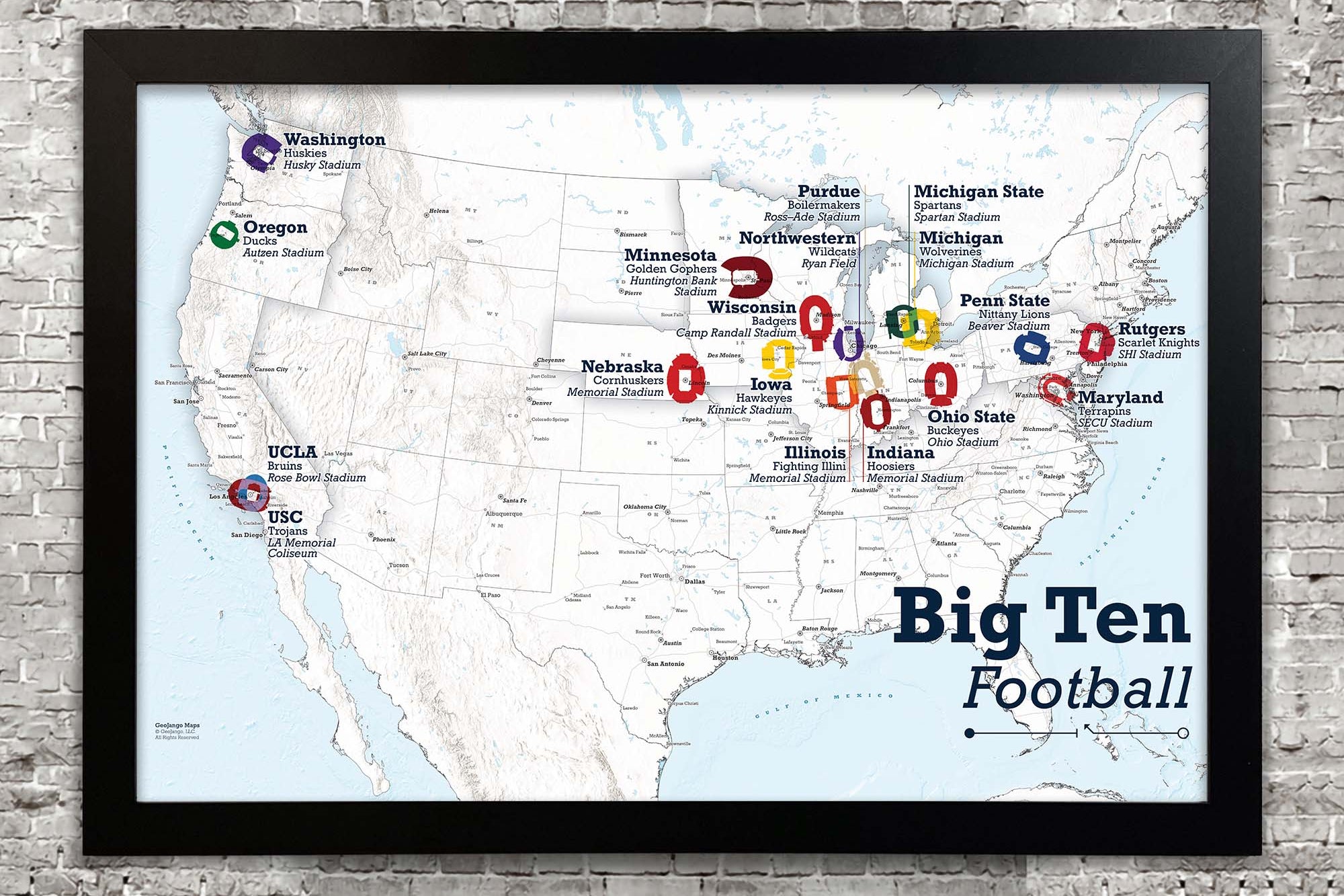
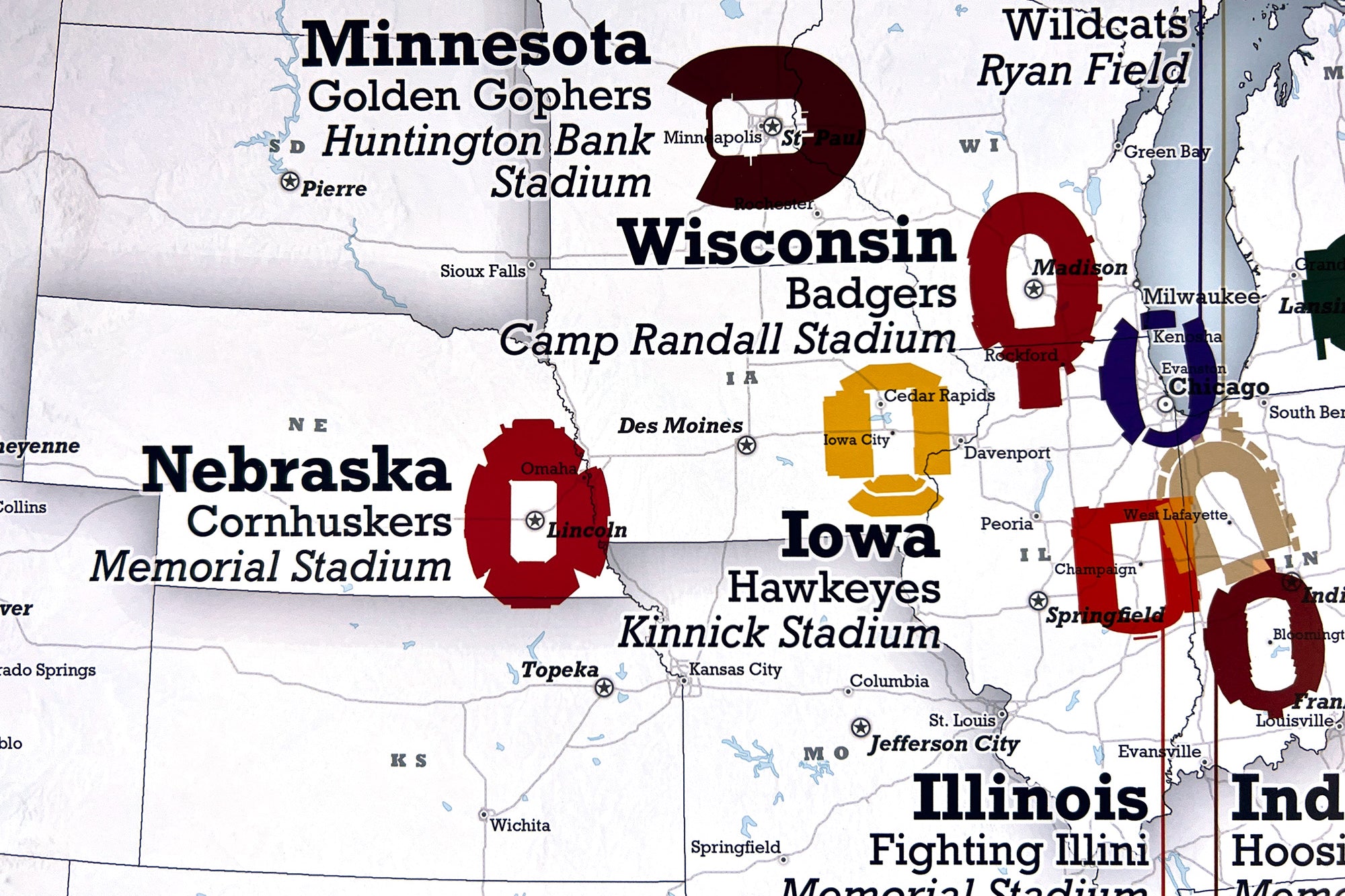
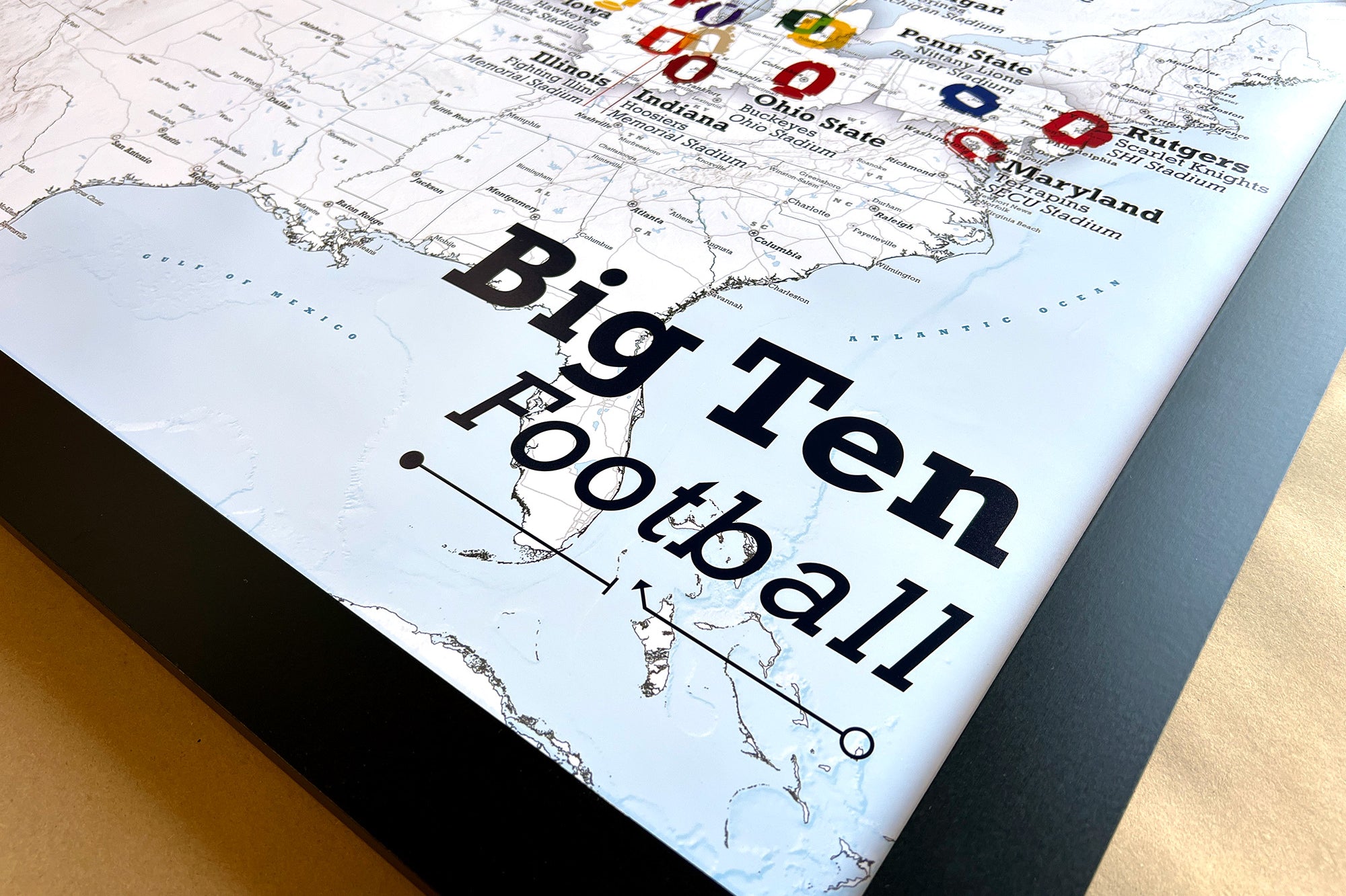
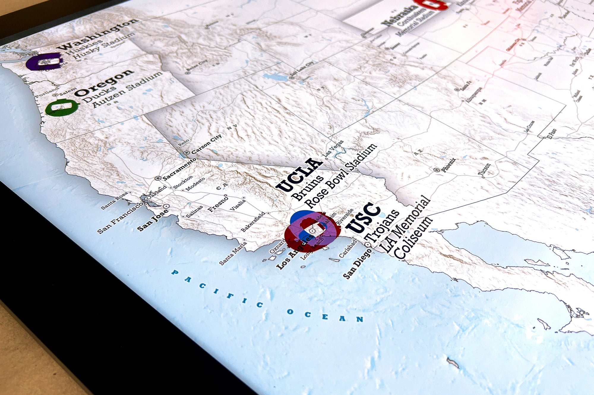
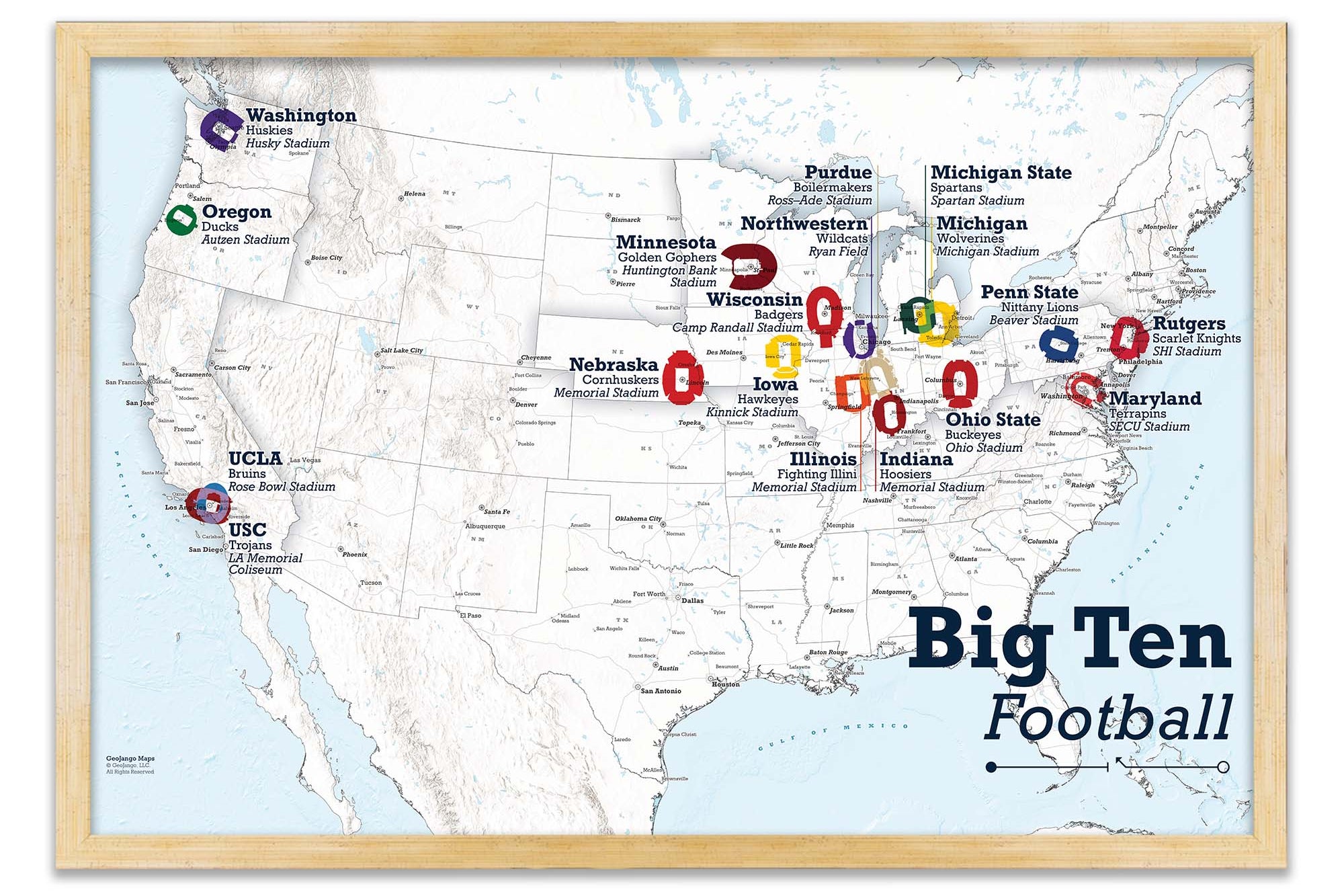
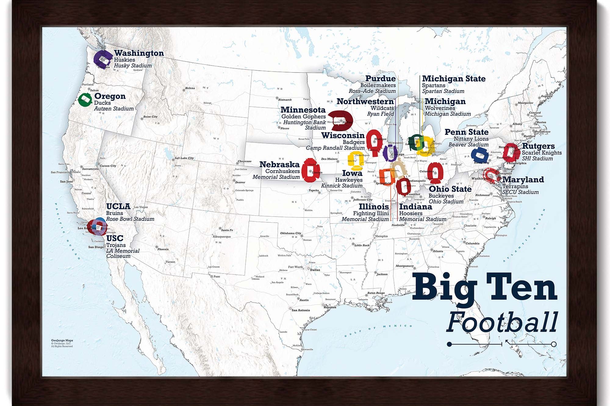
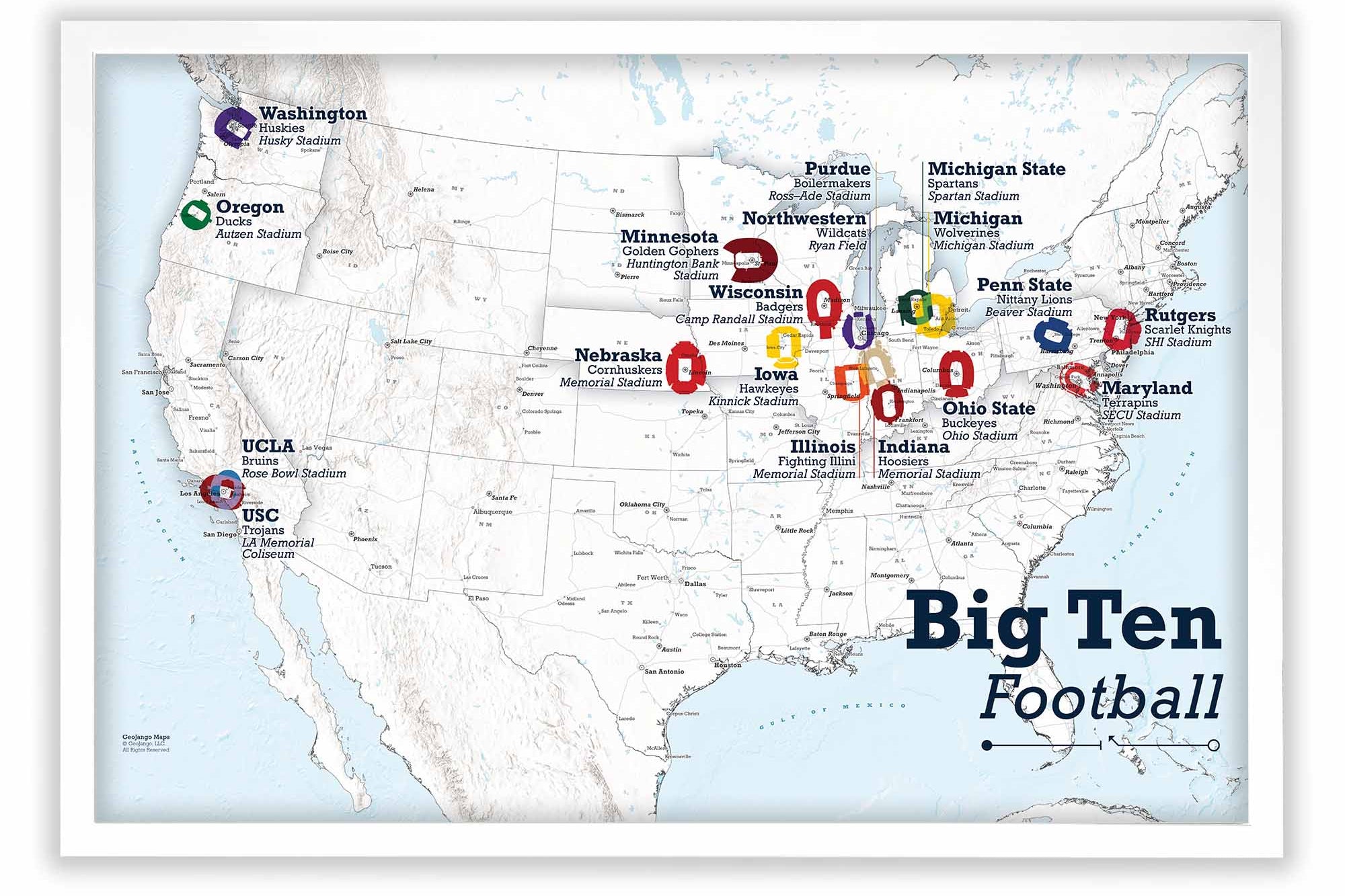
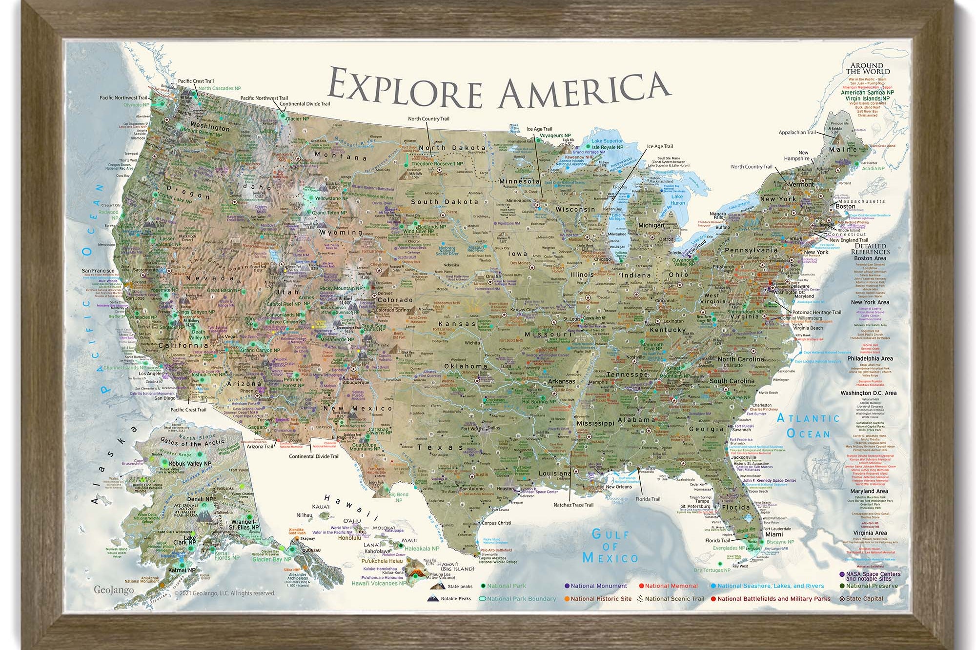
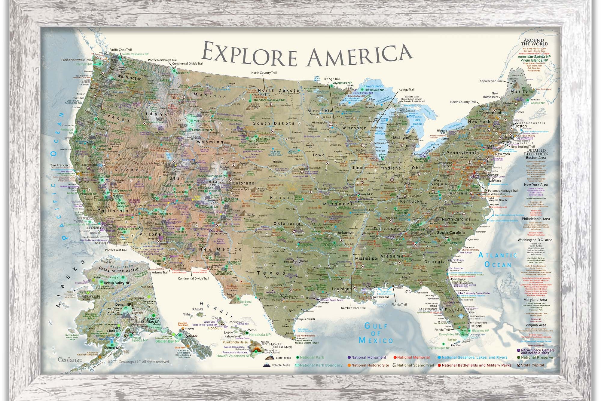
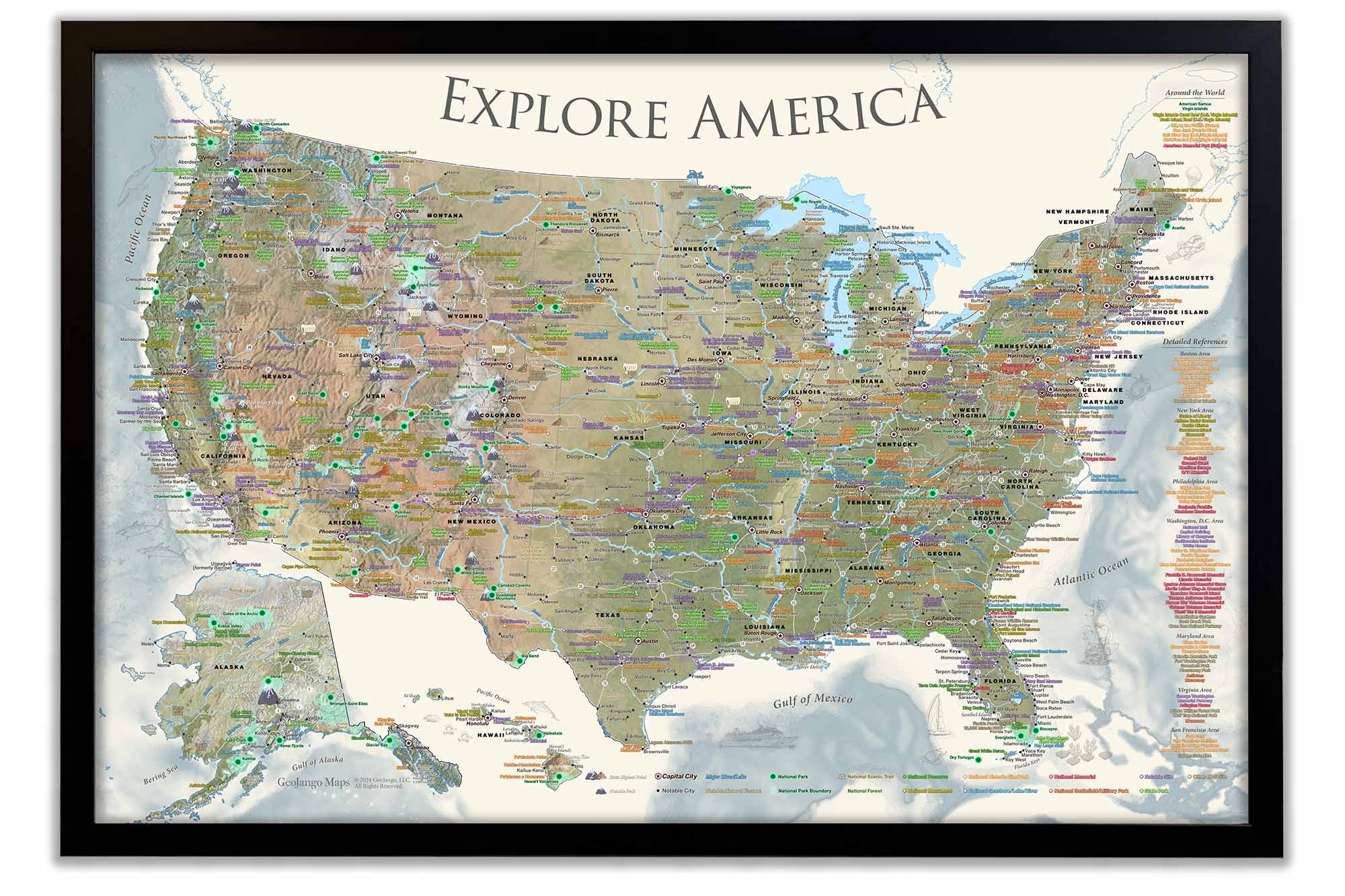
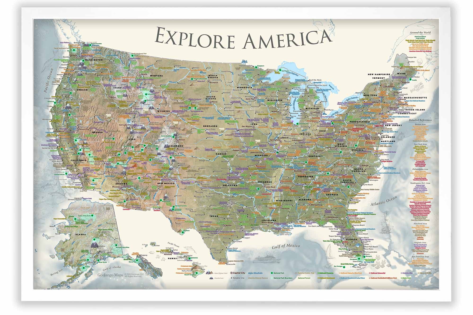
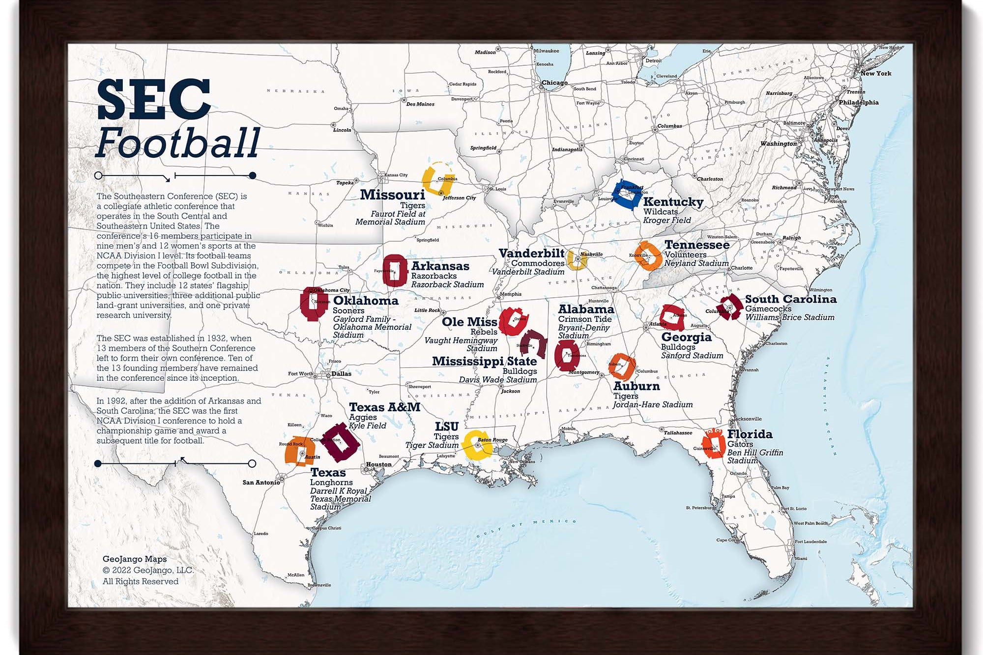
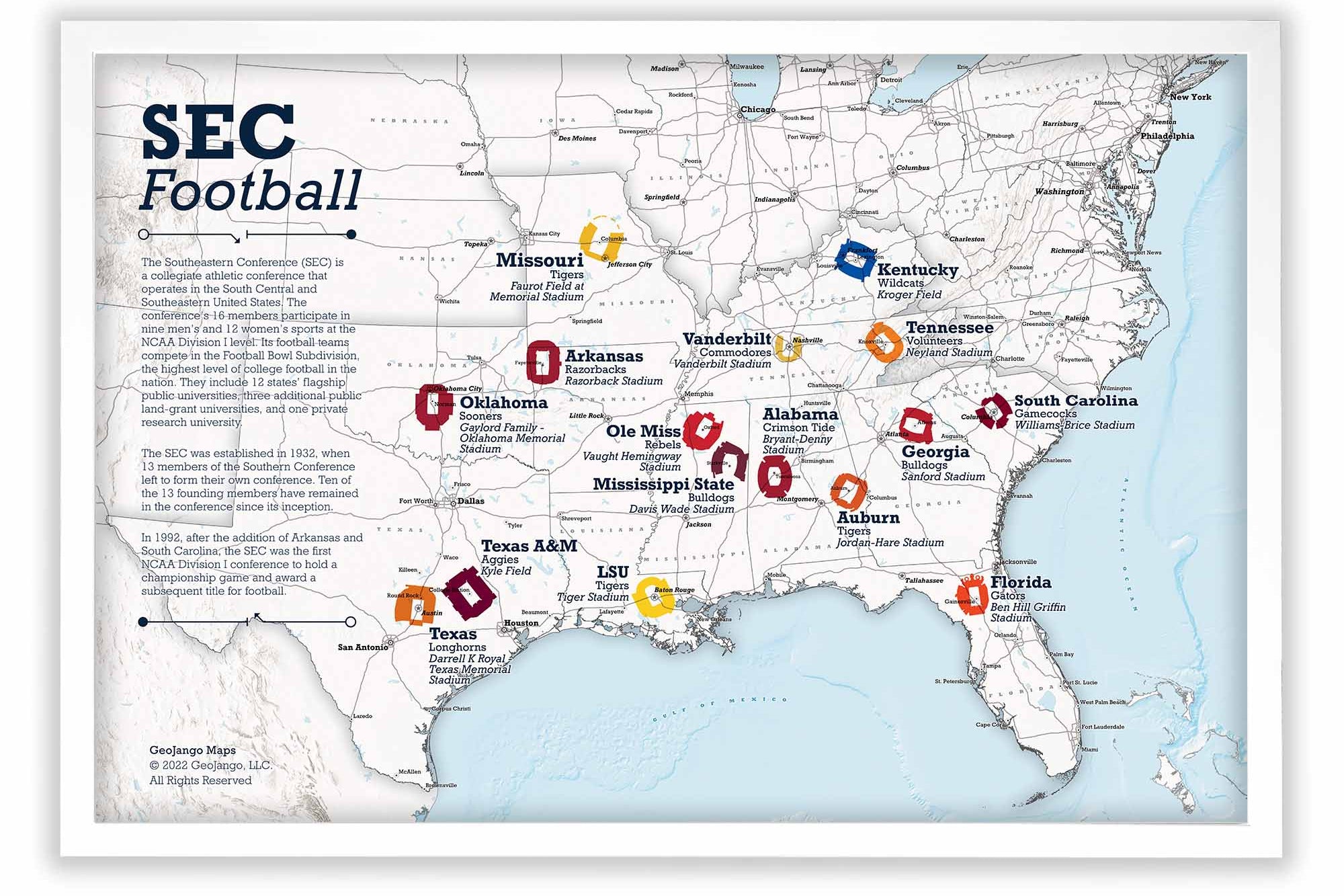
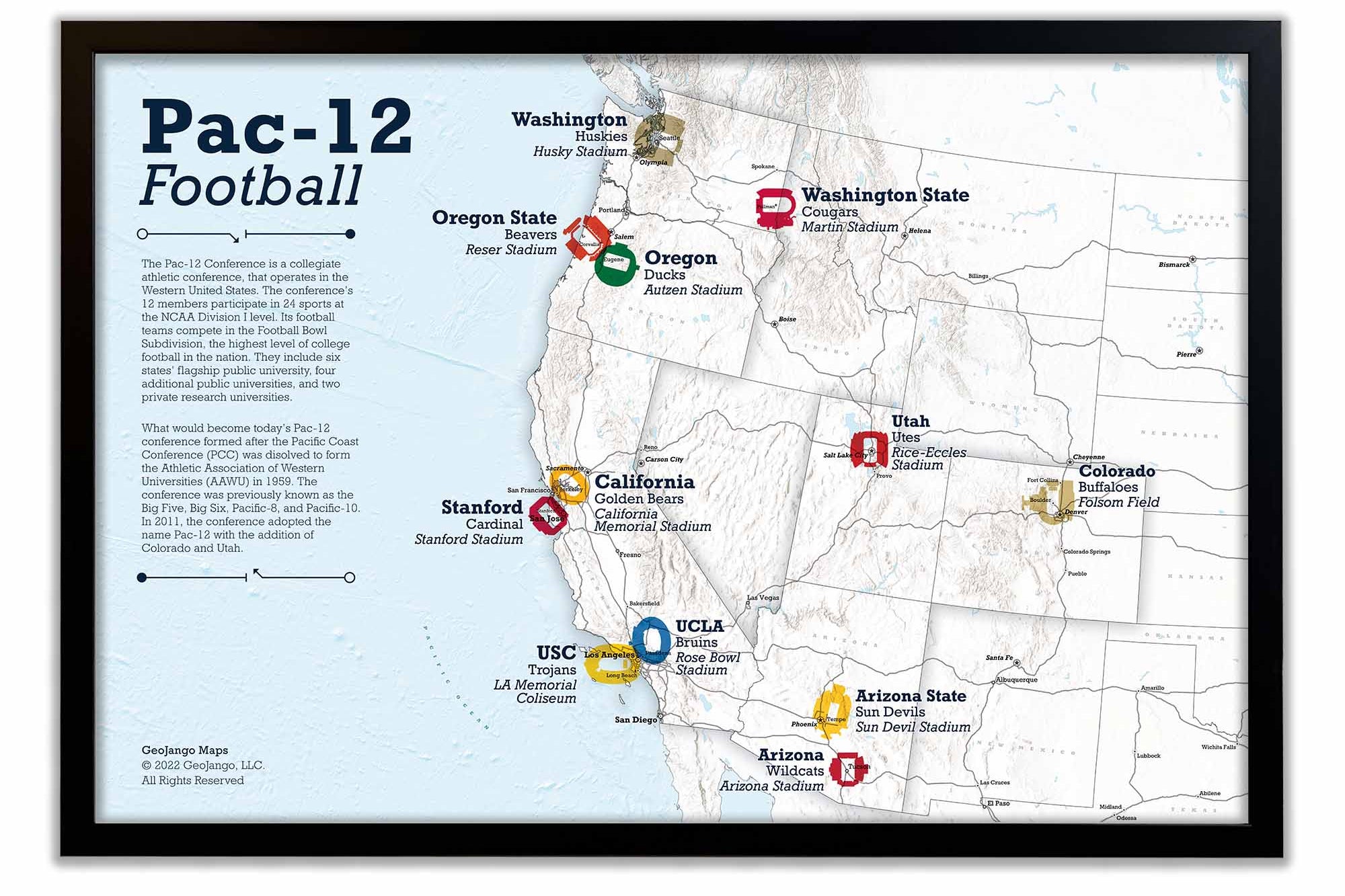
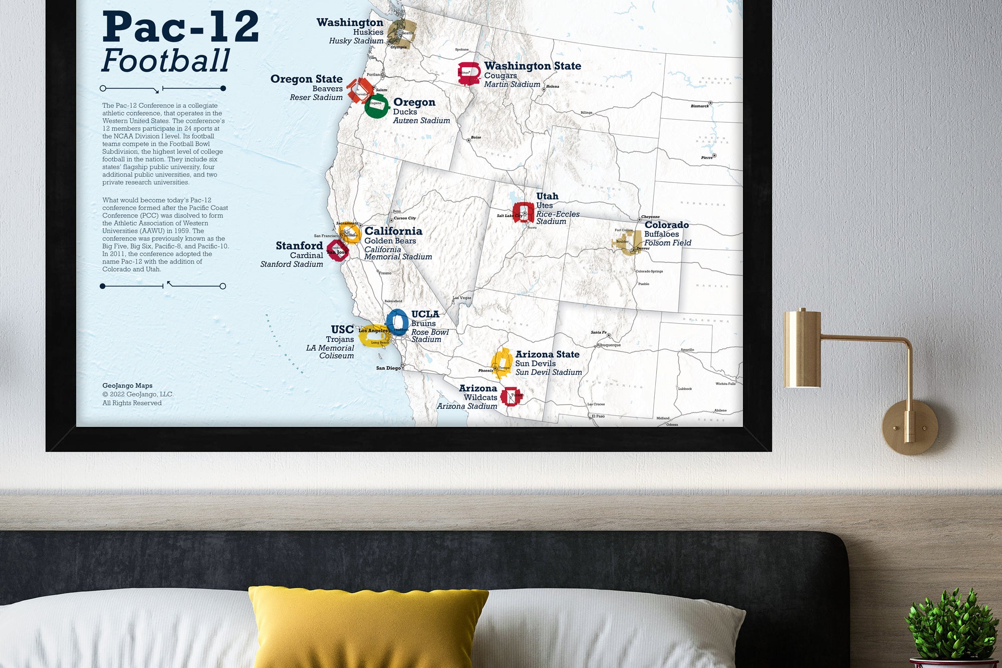
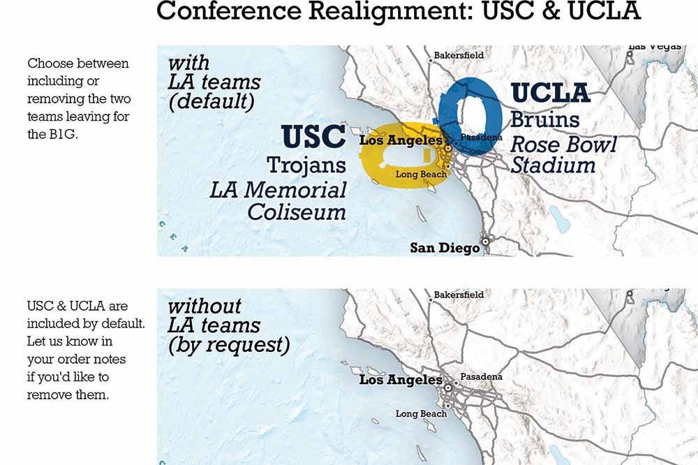
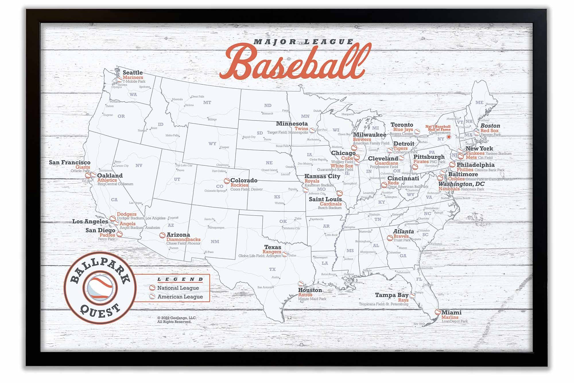
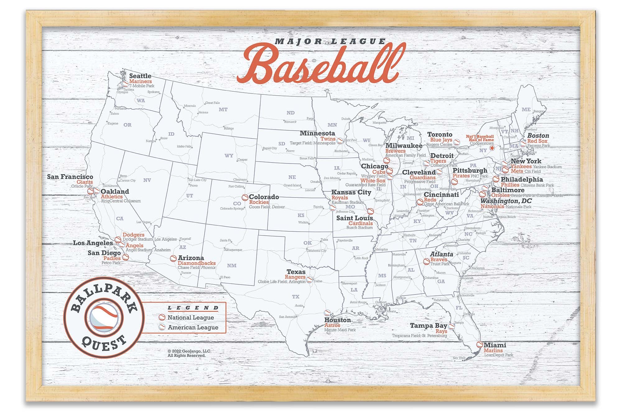
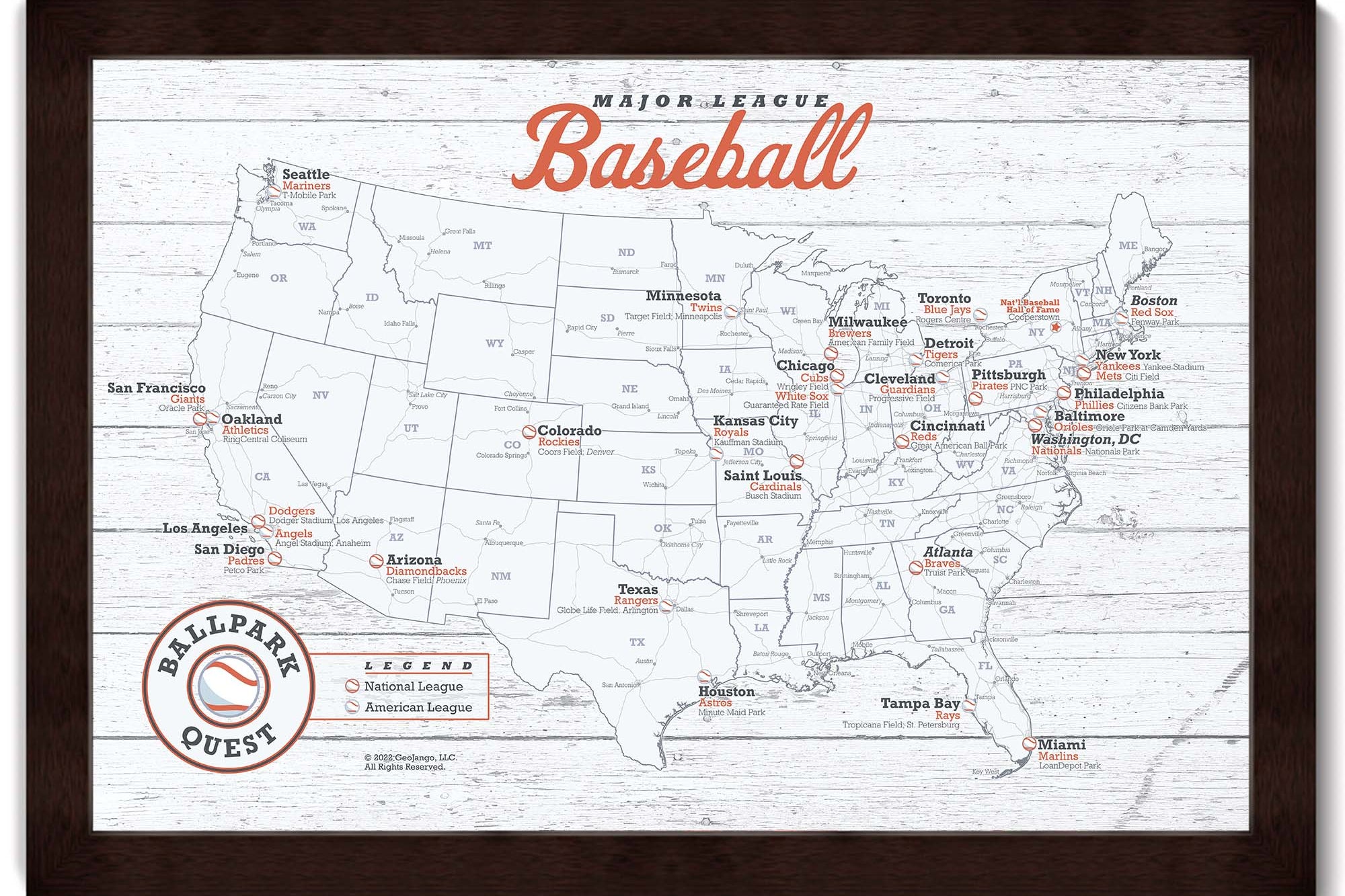
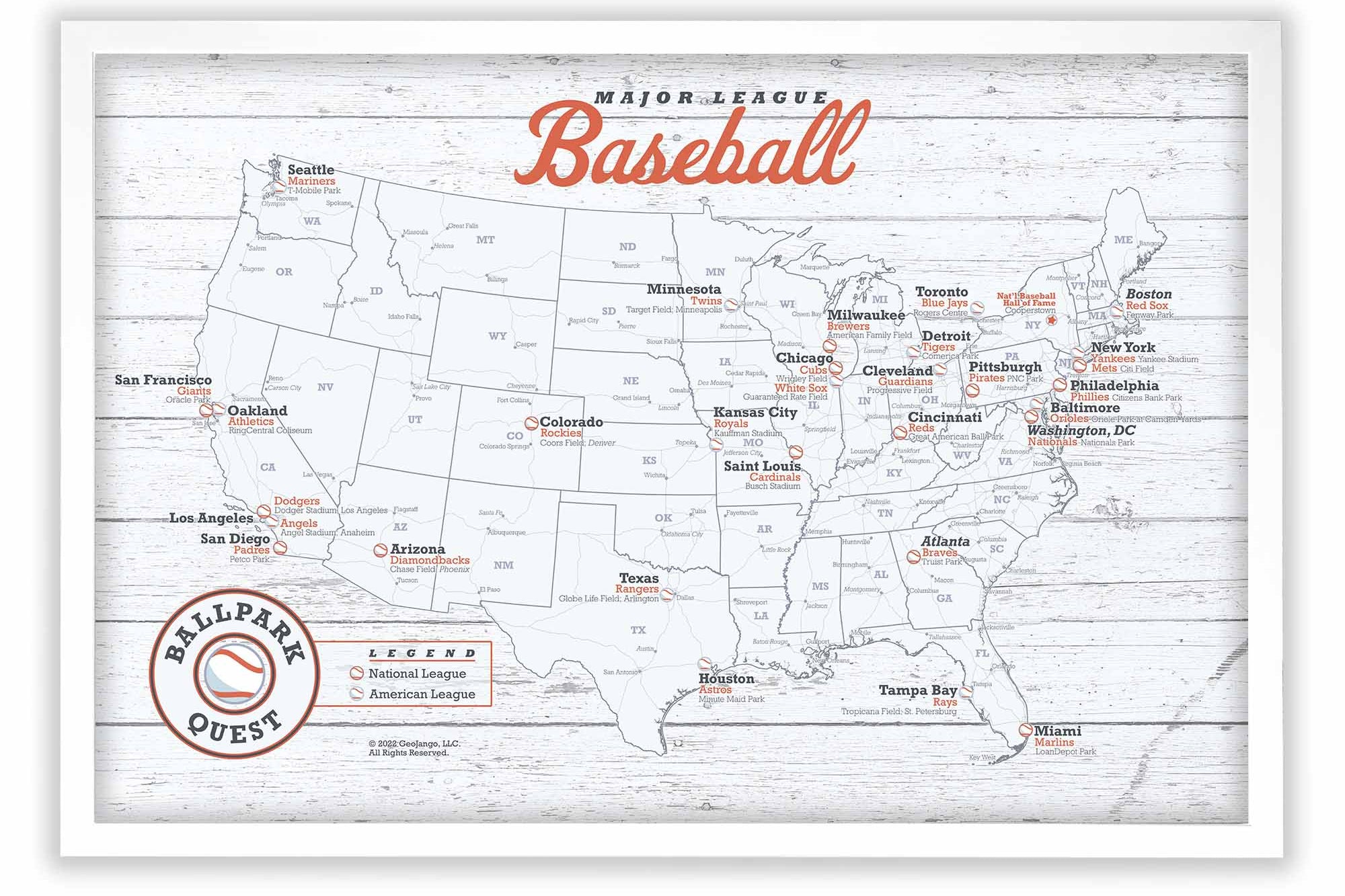
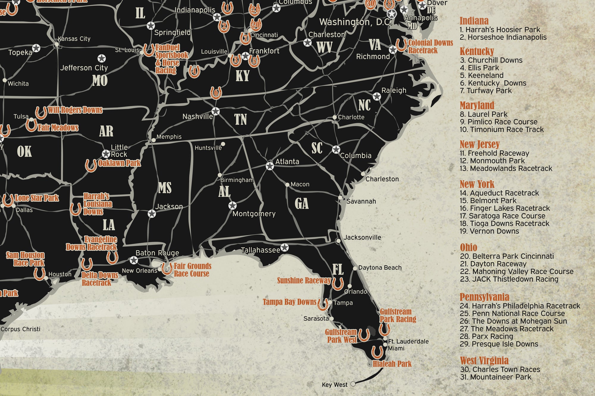
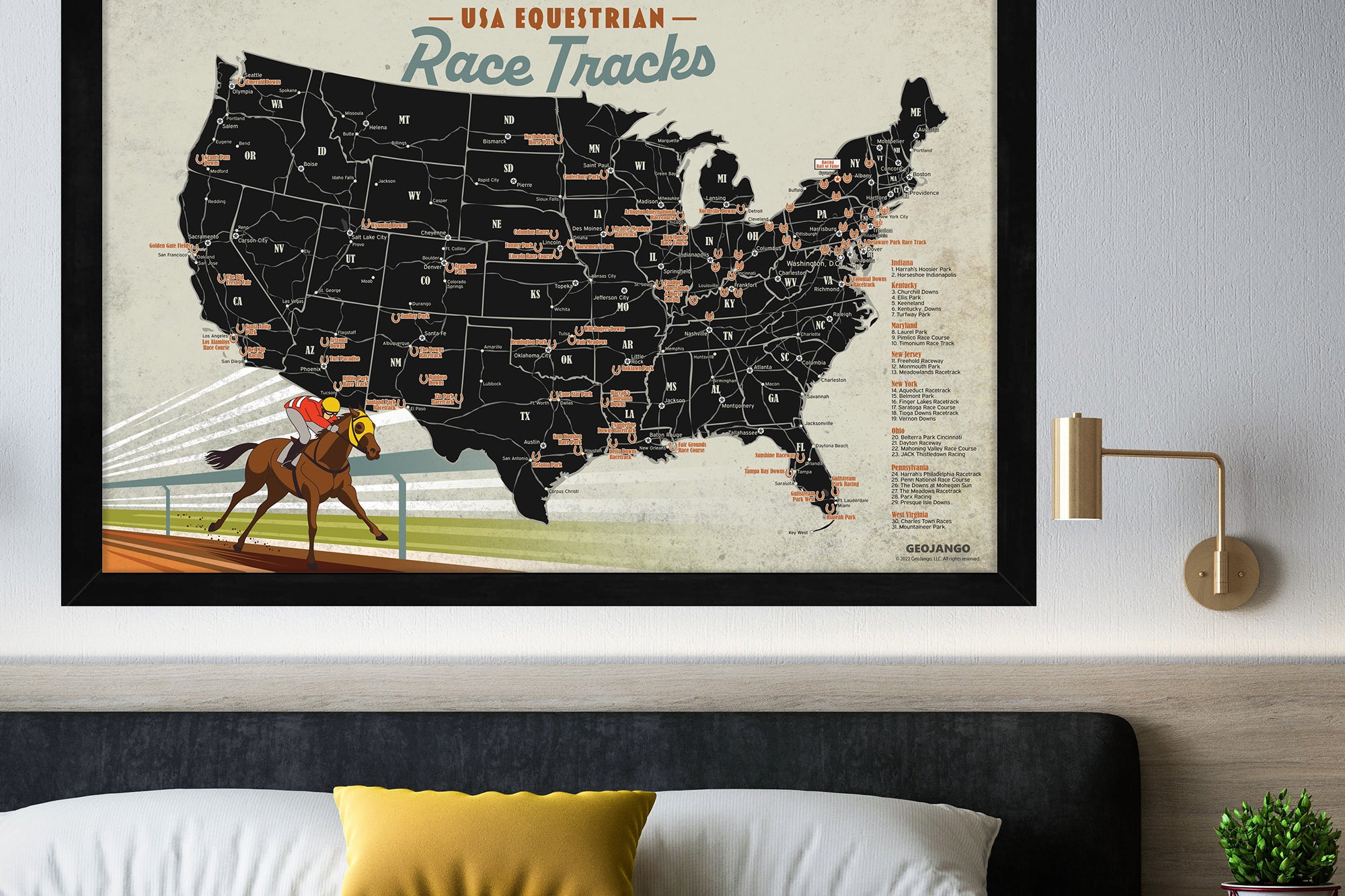
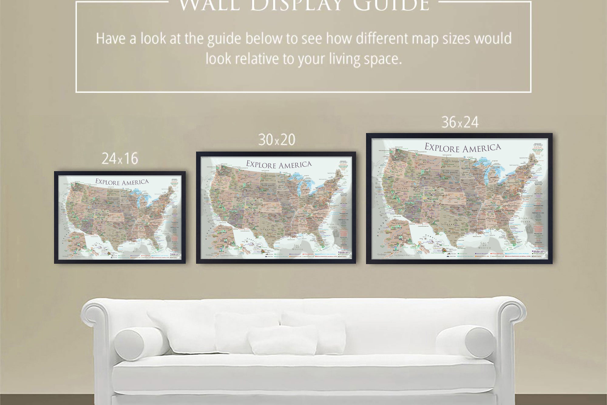
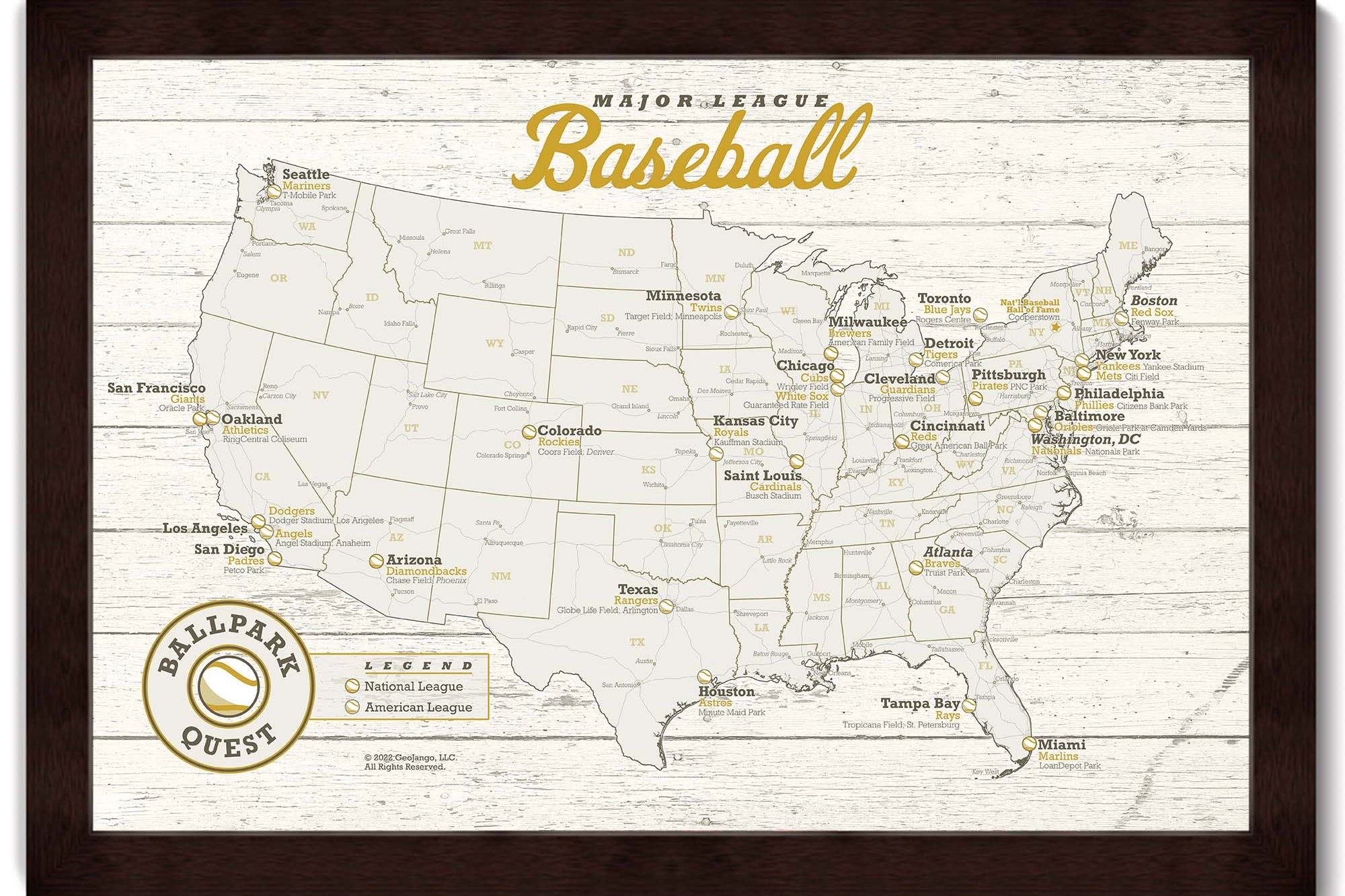
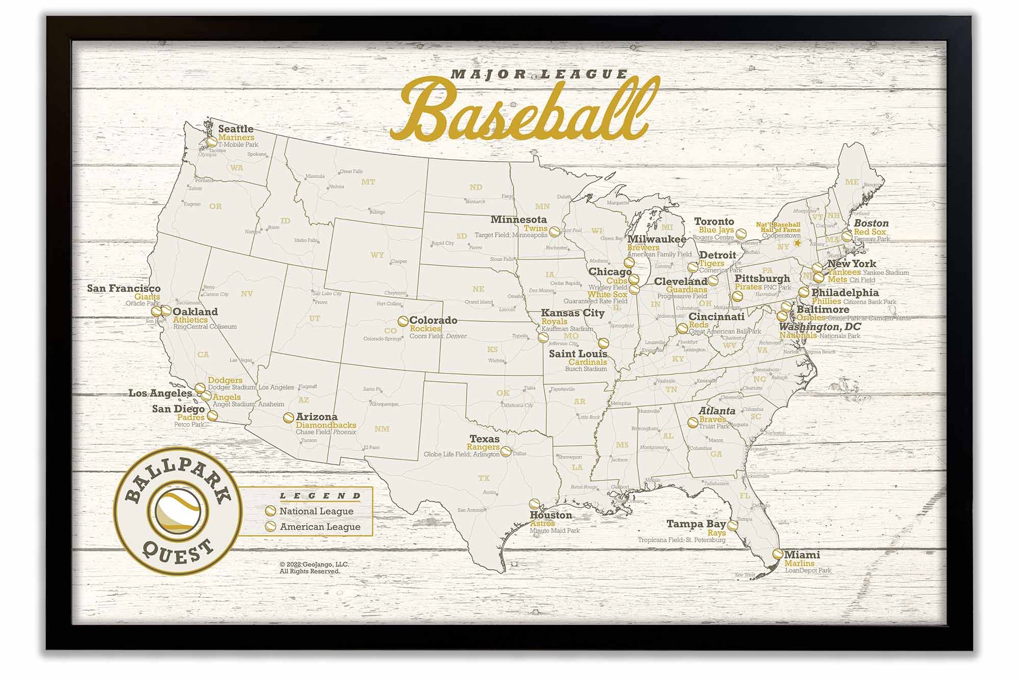
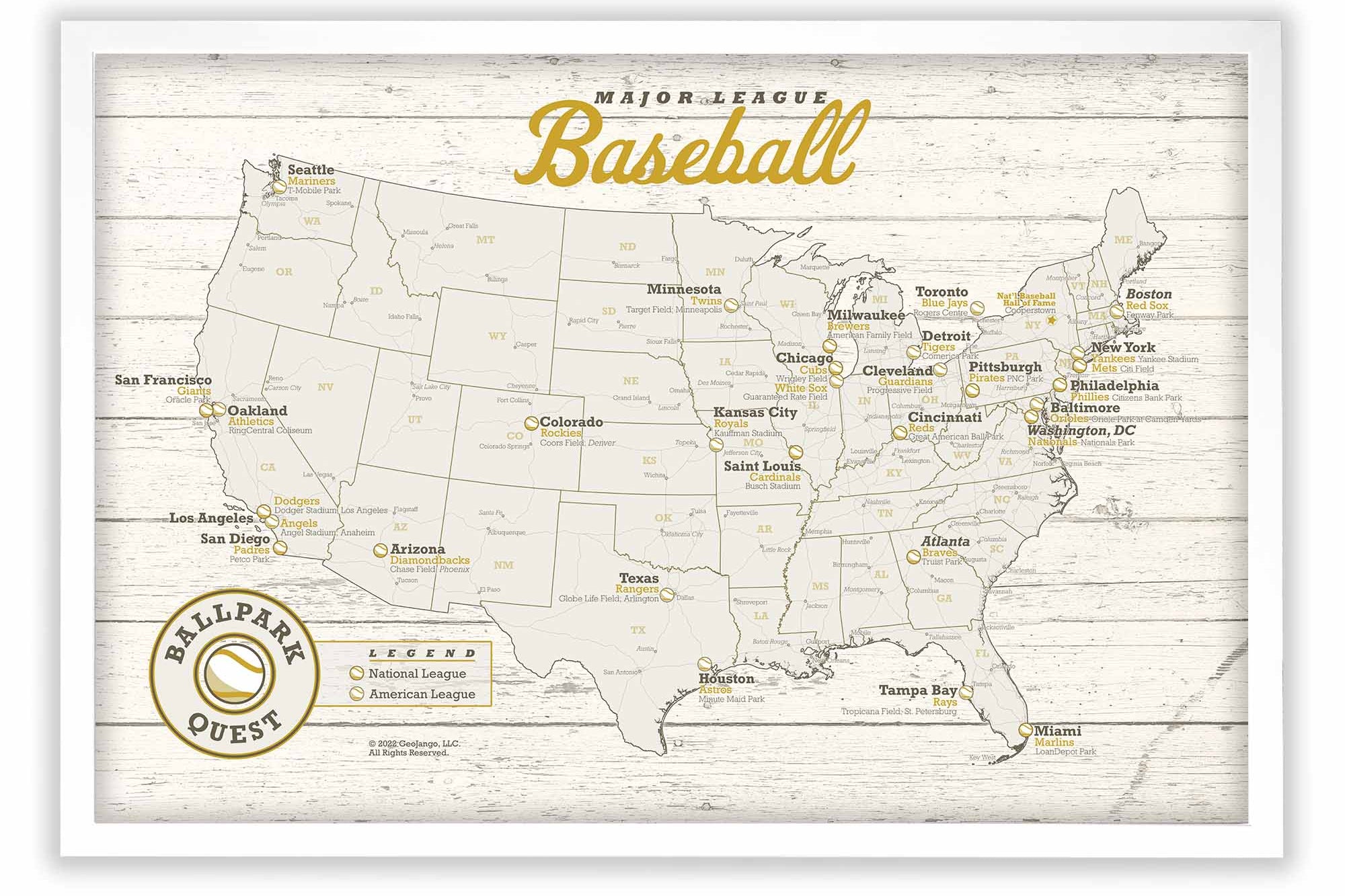
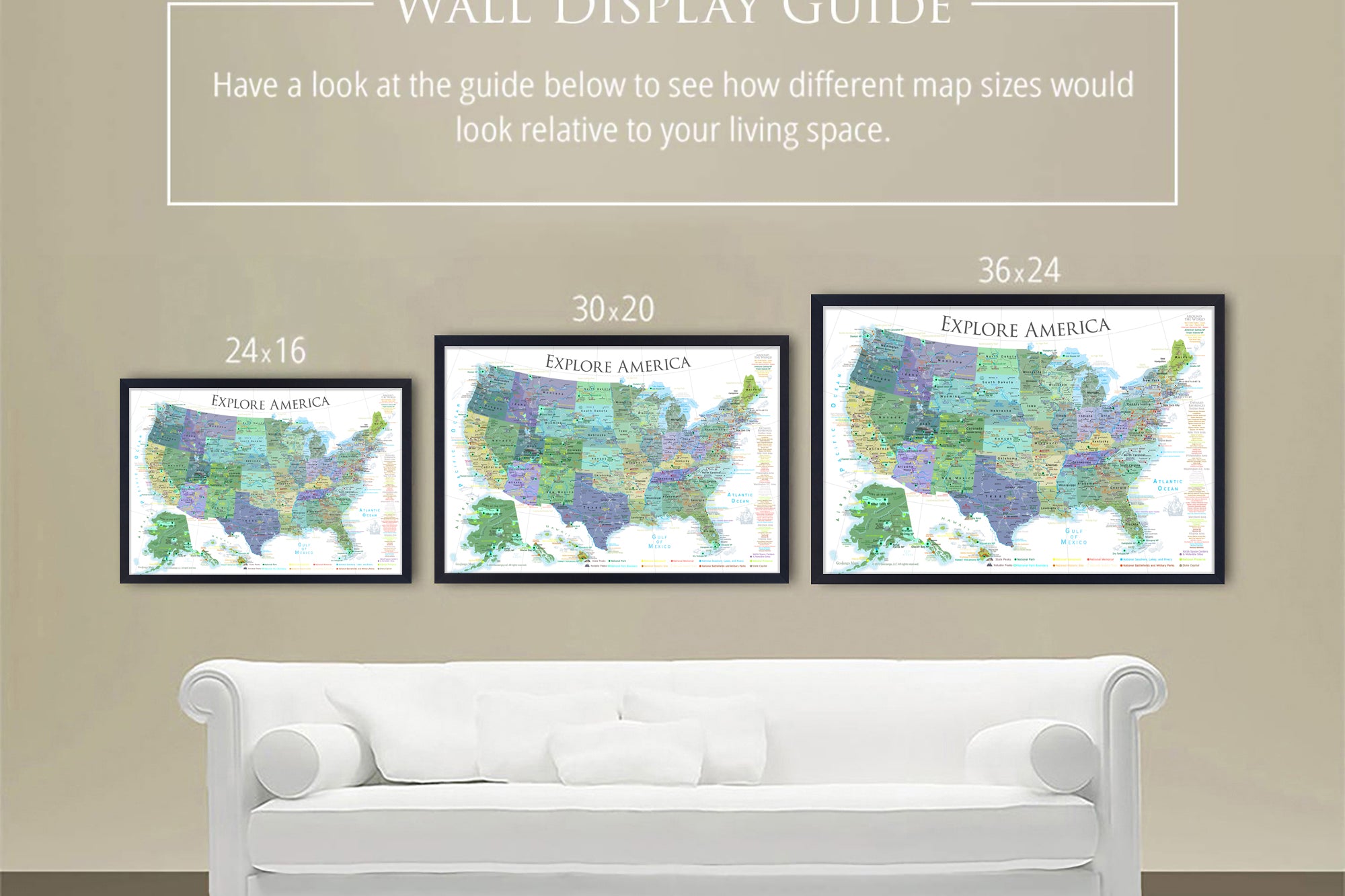
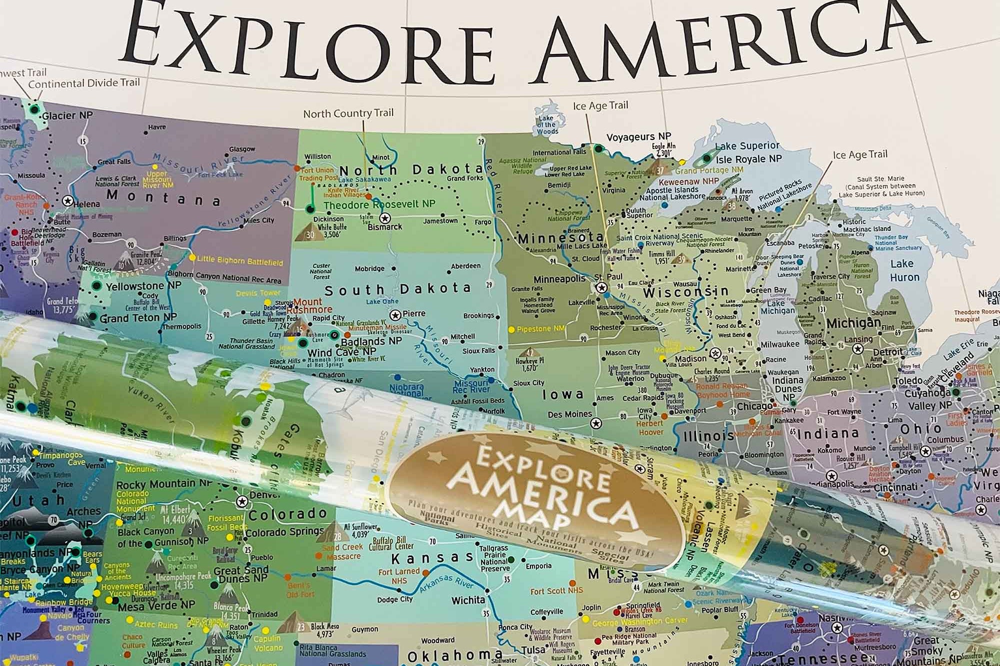
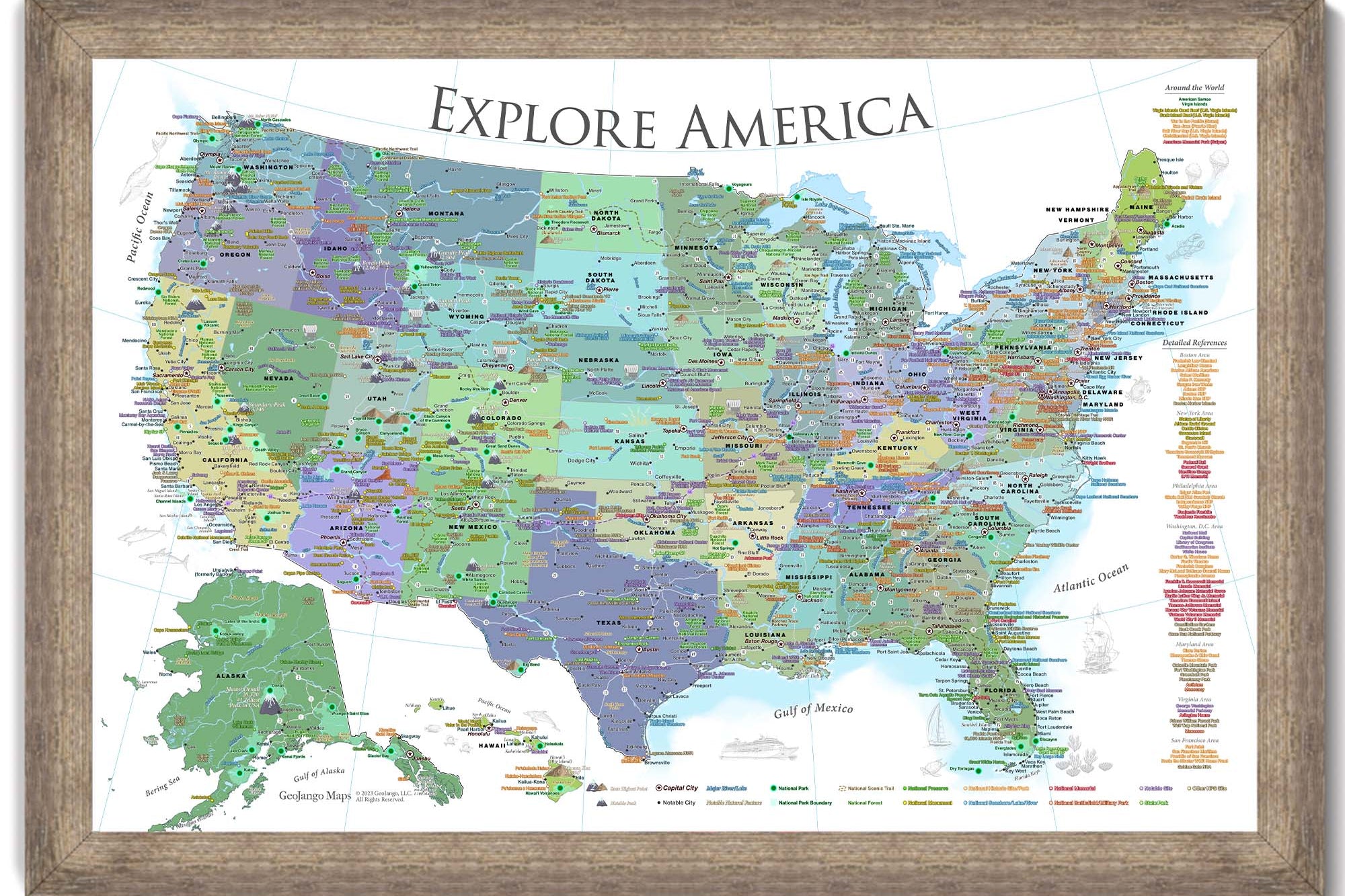
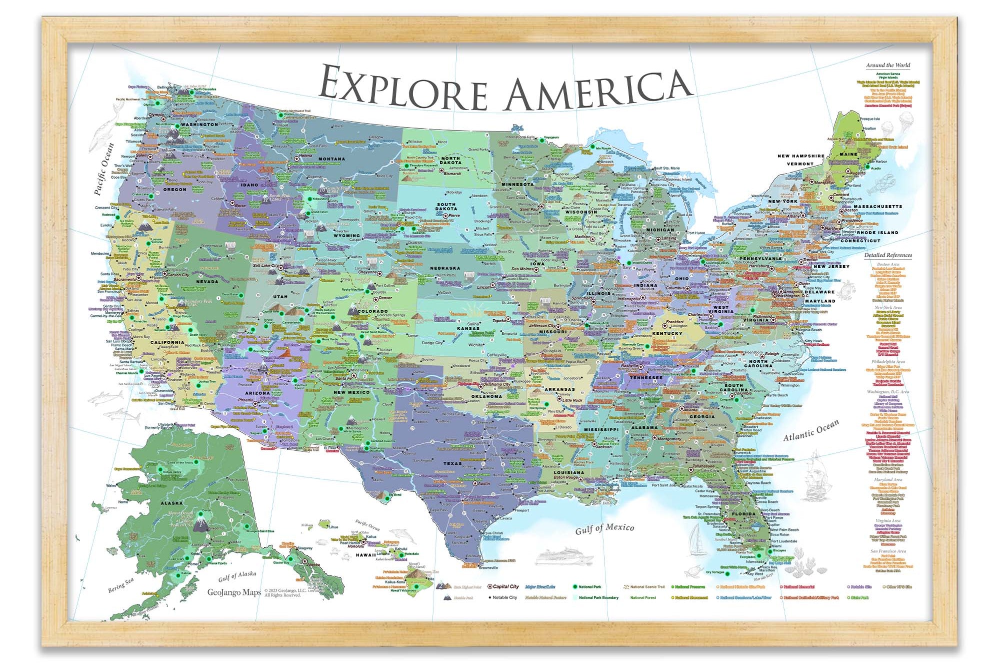
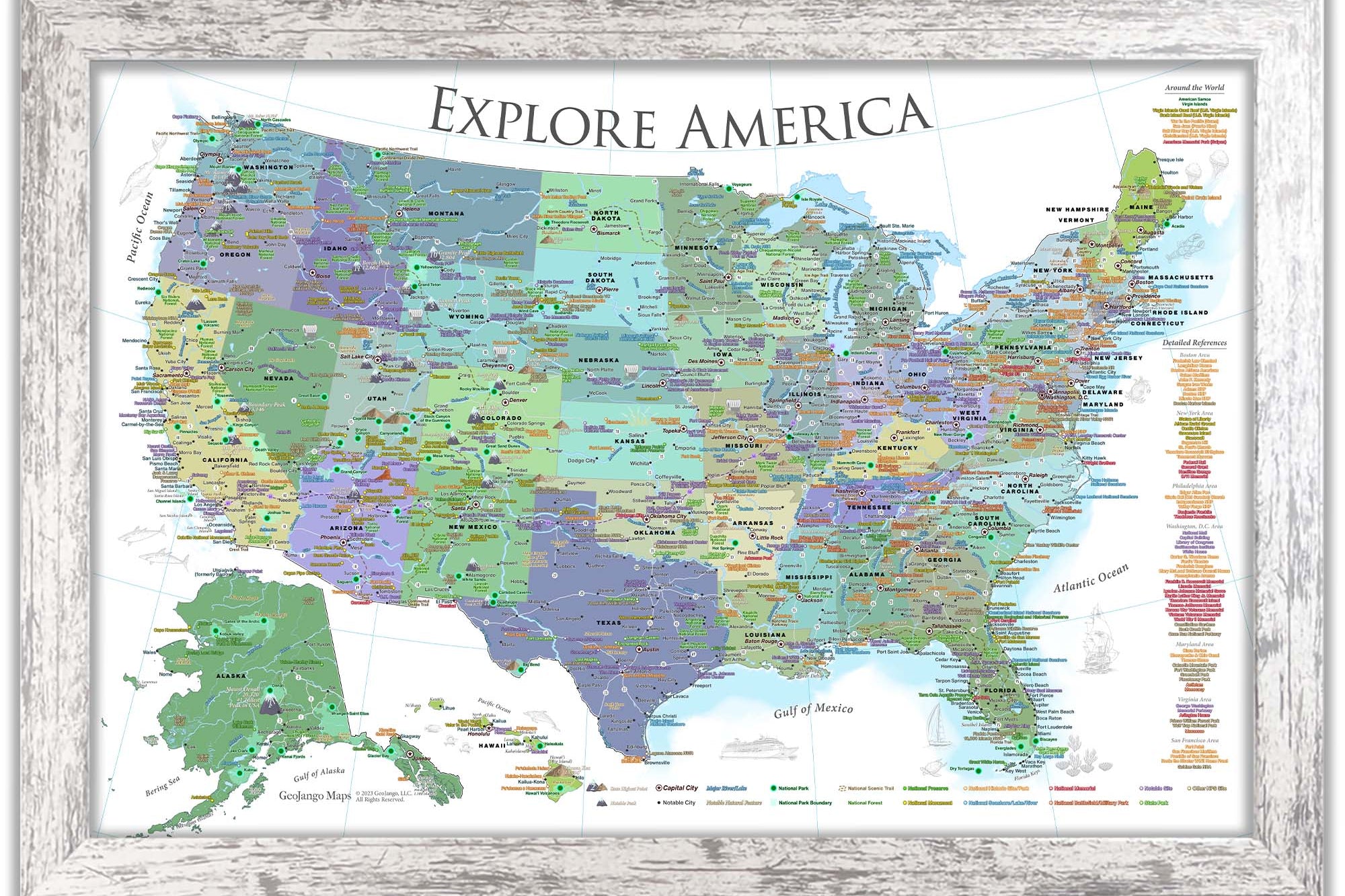
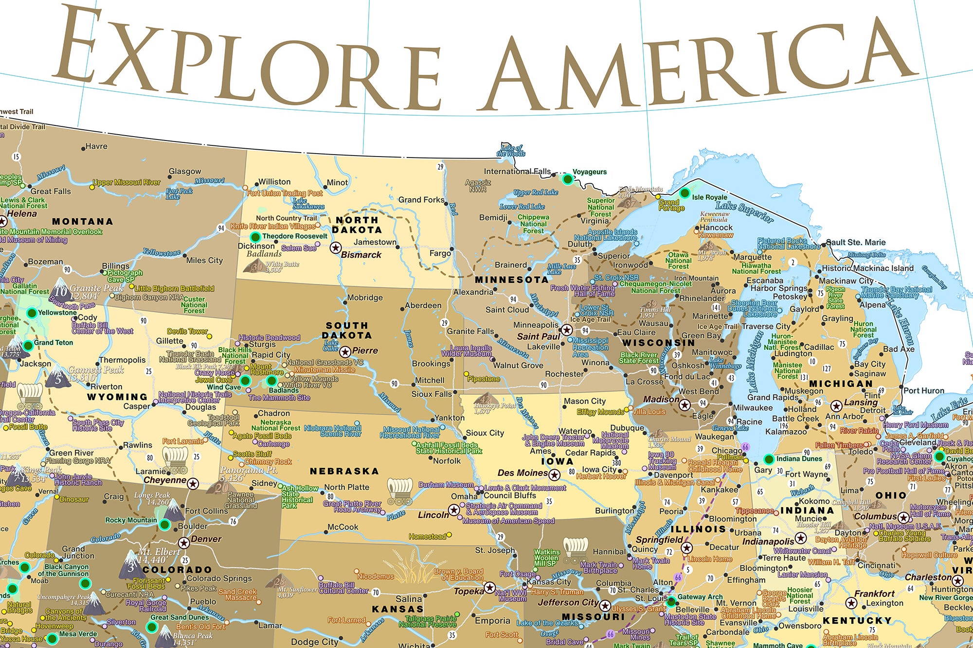
The main differences are the colors and cartographic styles. The informative details (labeling) are the same throughout the maps with a few exceptions:
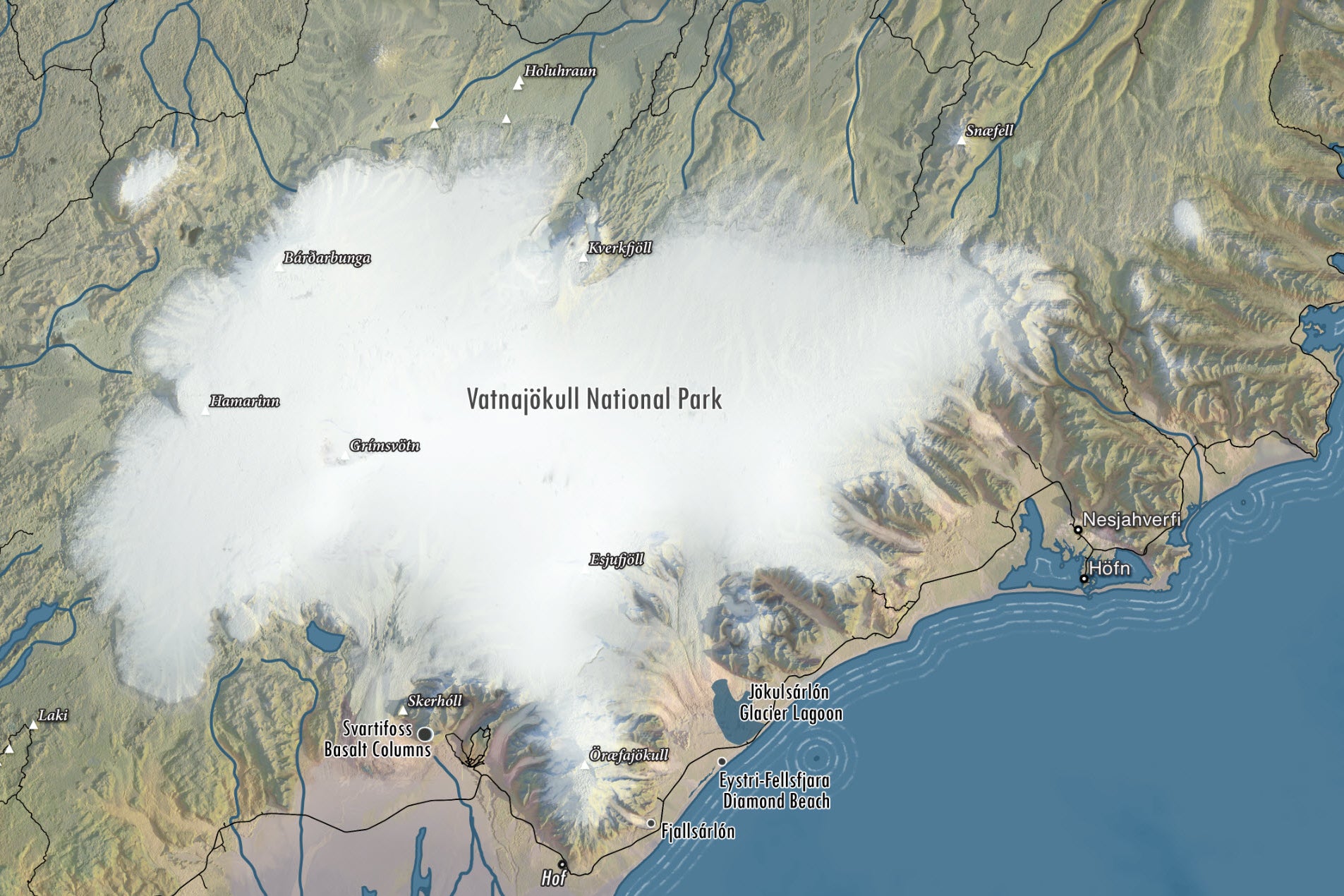
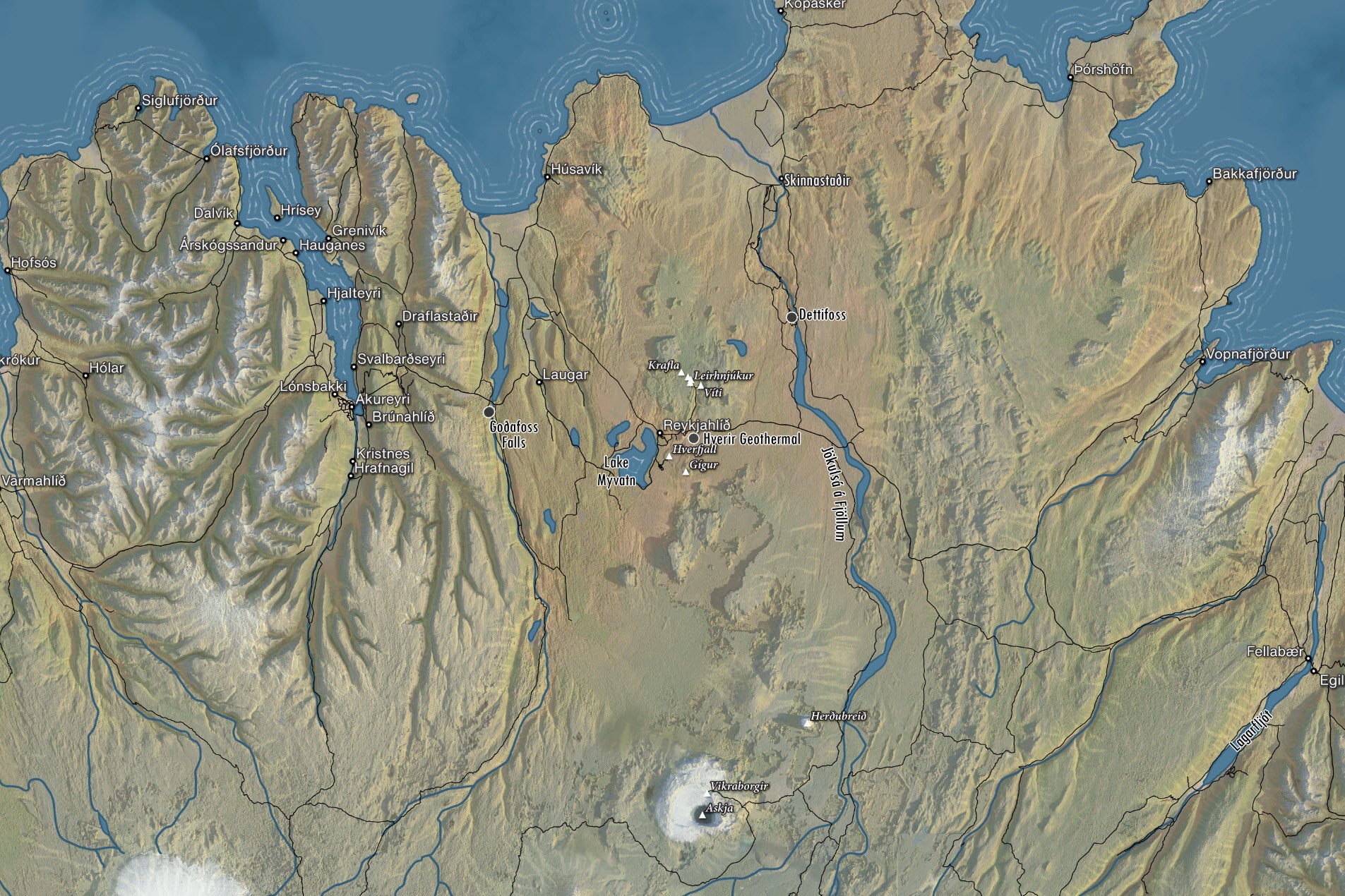
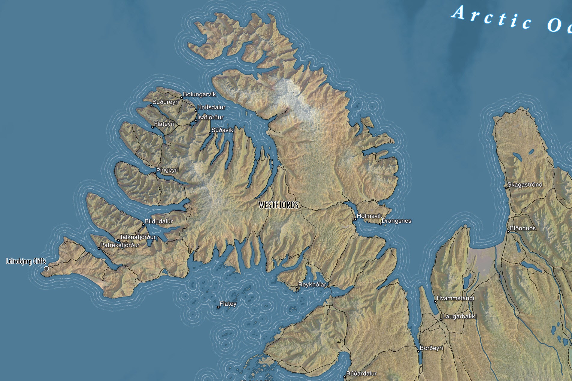
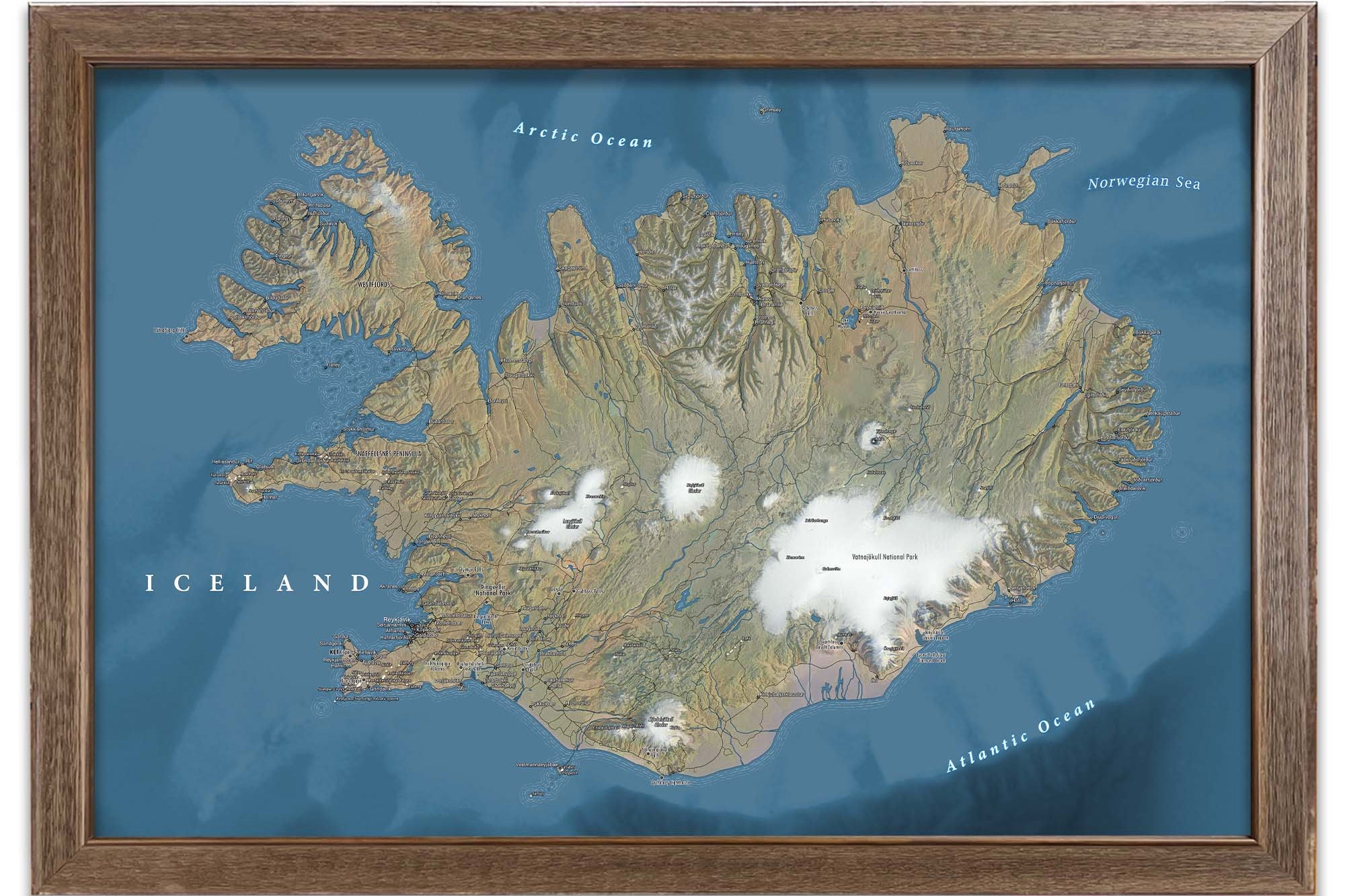
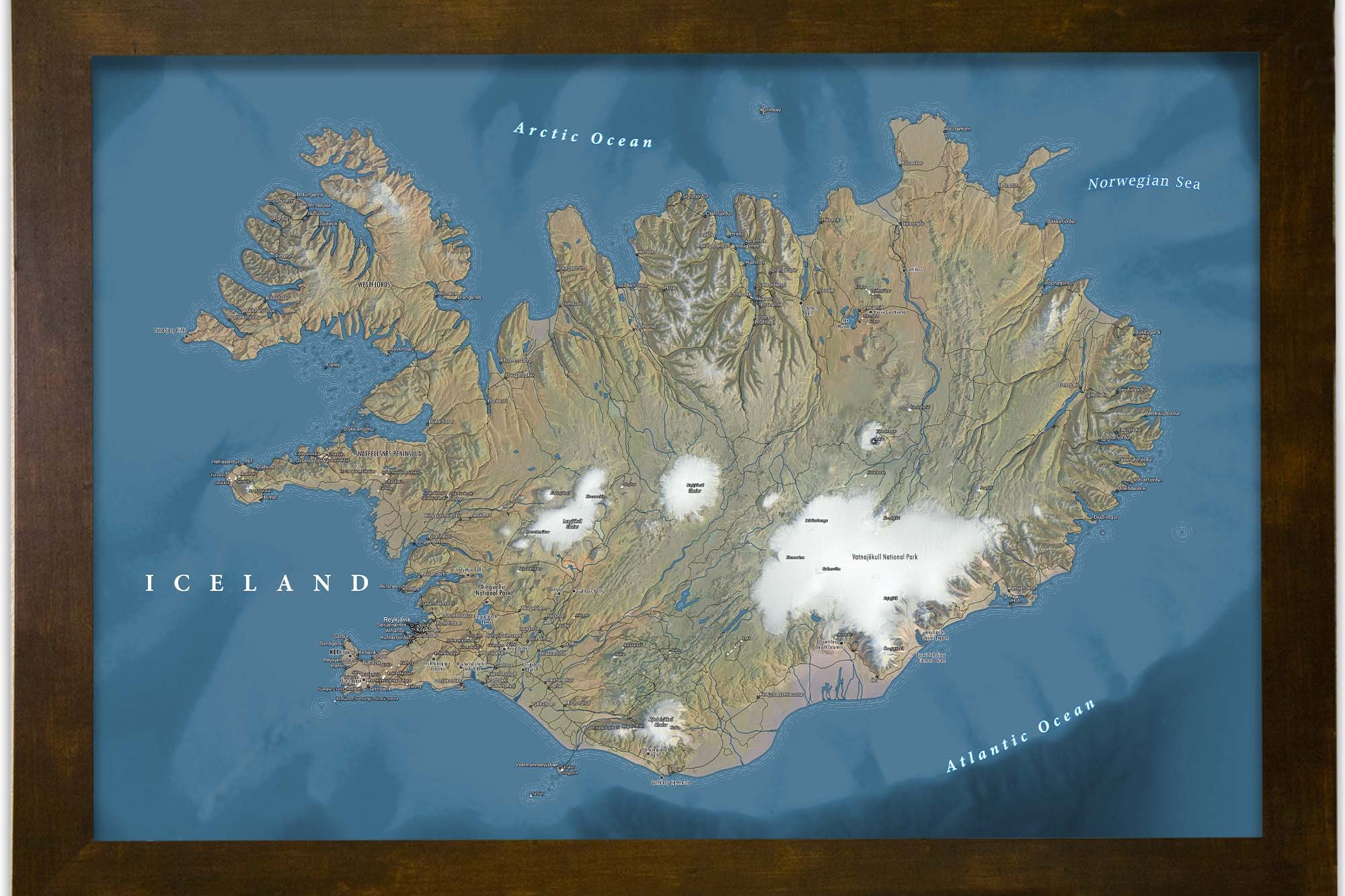
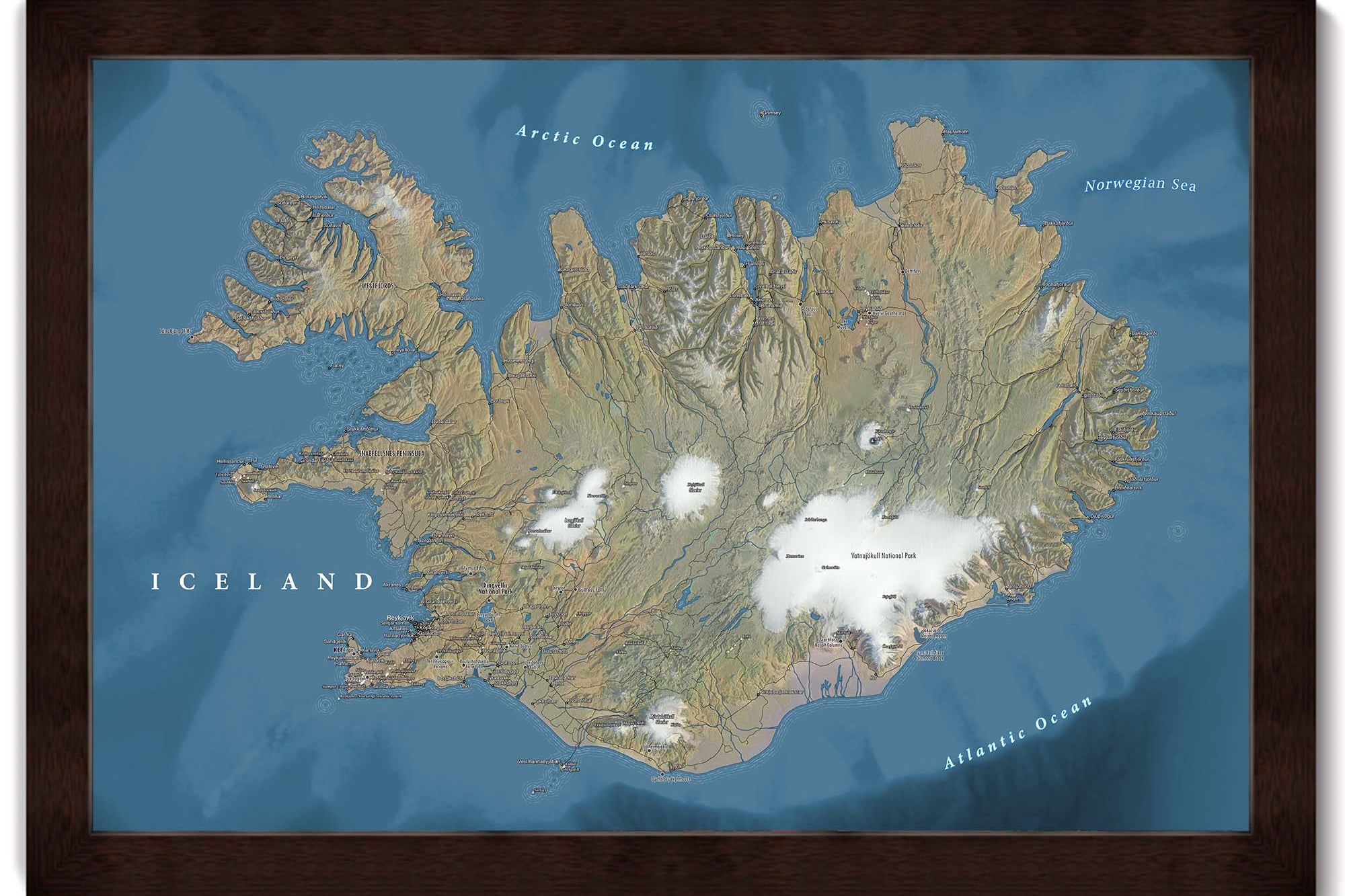
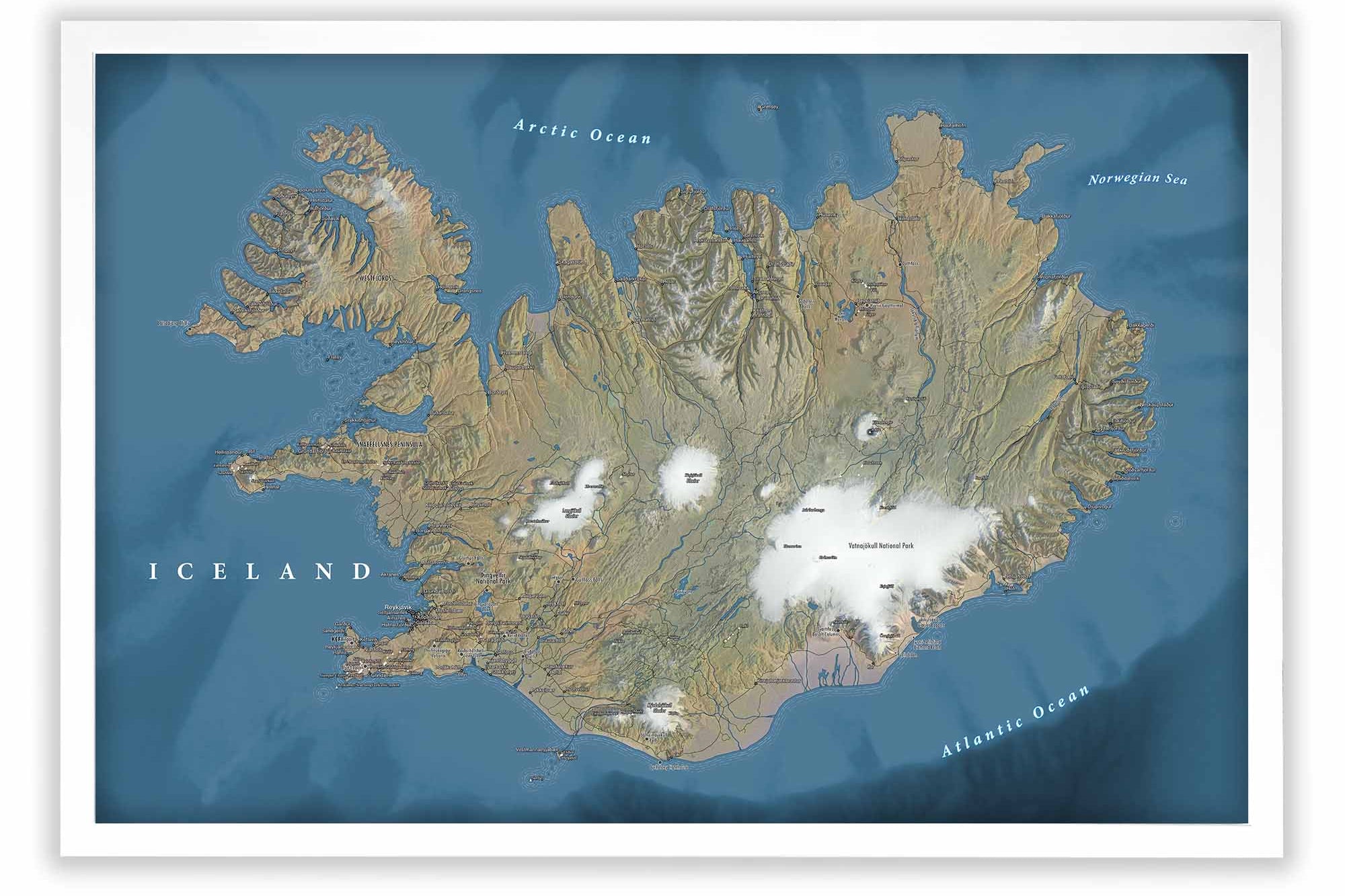
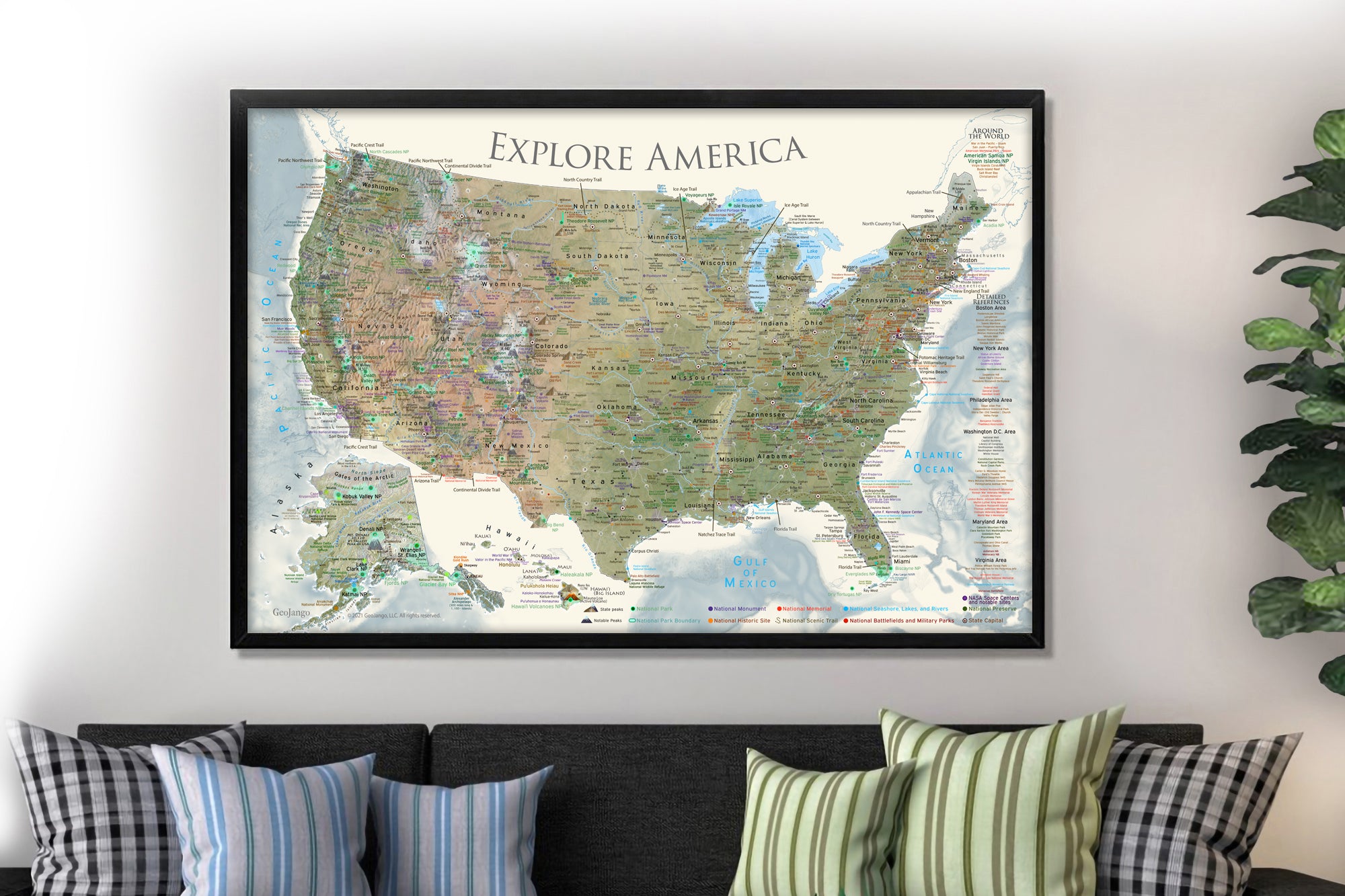
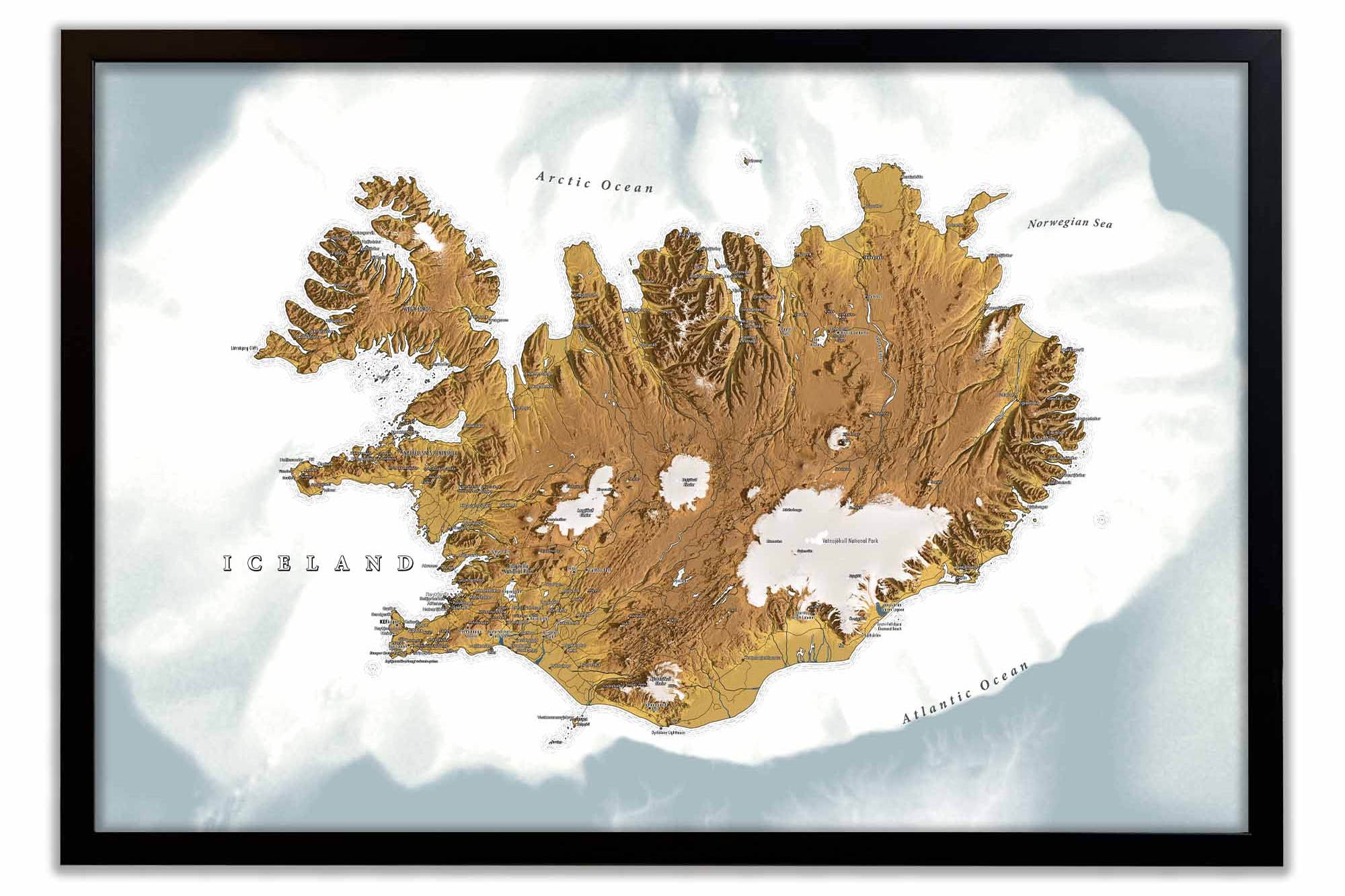
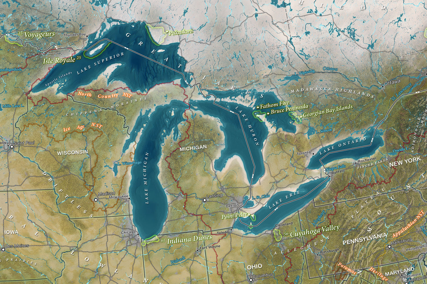
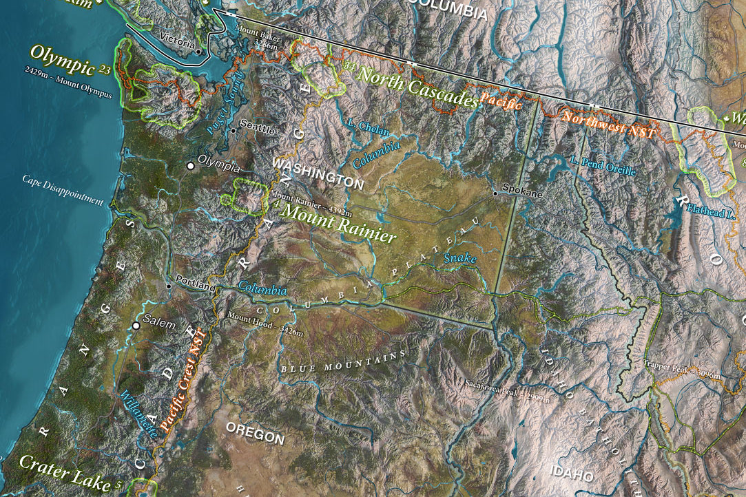
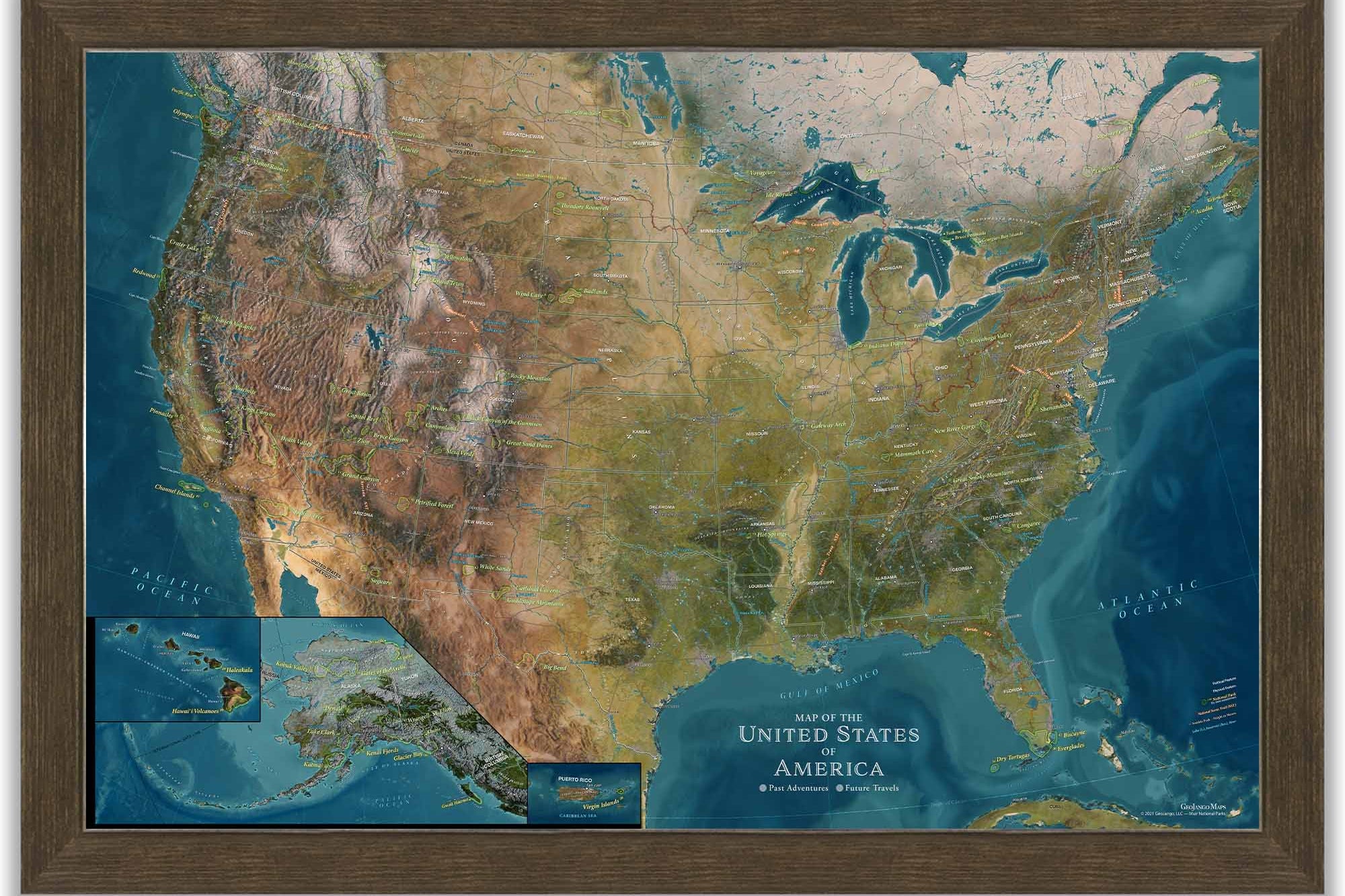
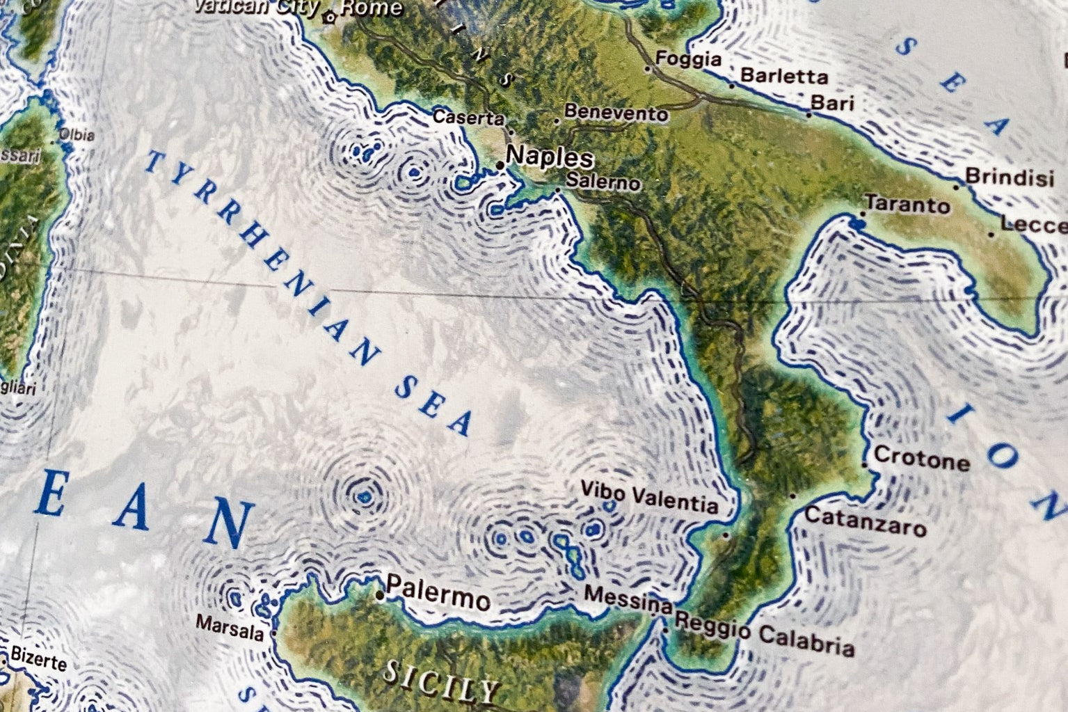
The Voyager 2 includes snow/ice modeling. We use the MODIS satellite data collected in February to show the snow/ice cover on the landscape, which you can see represented in white in the northern hemisphere.
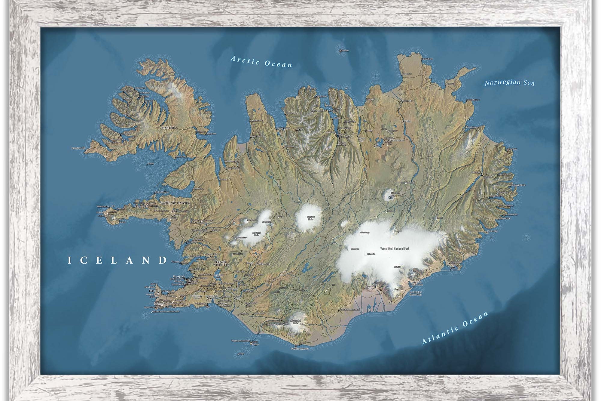
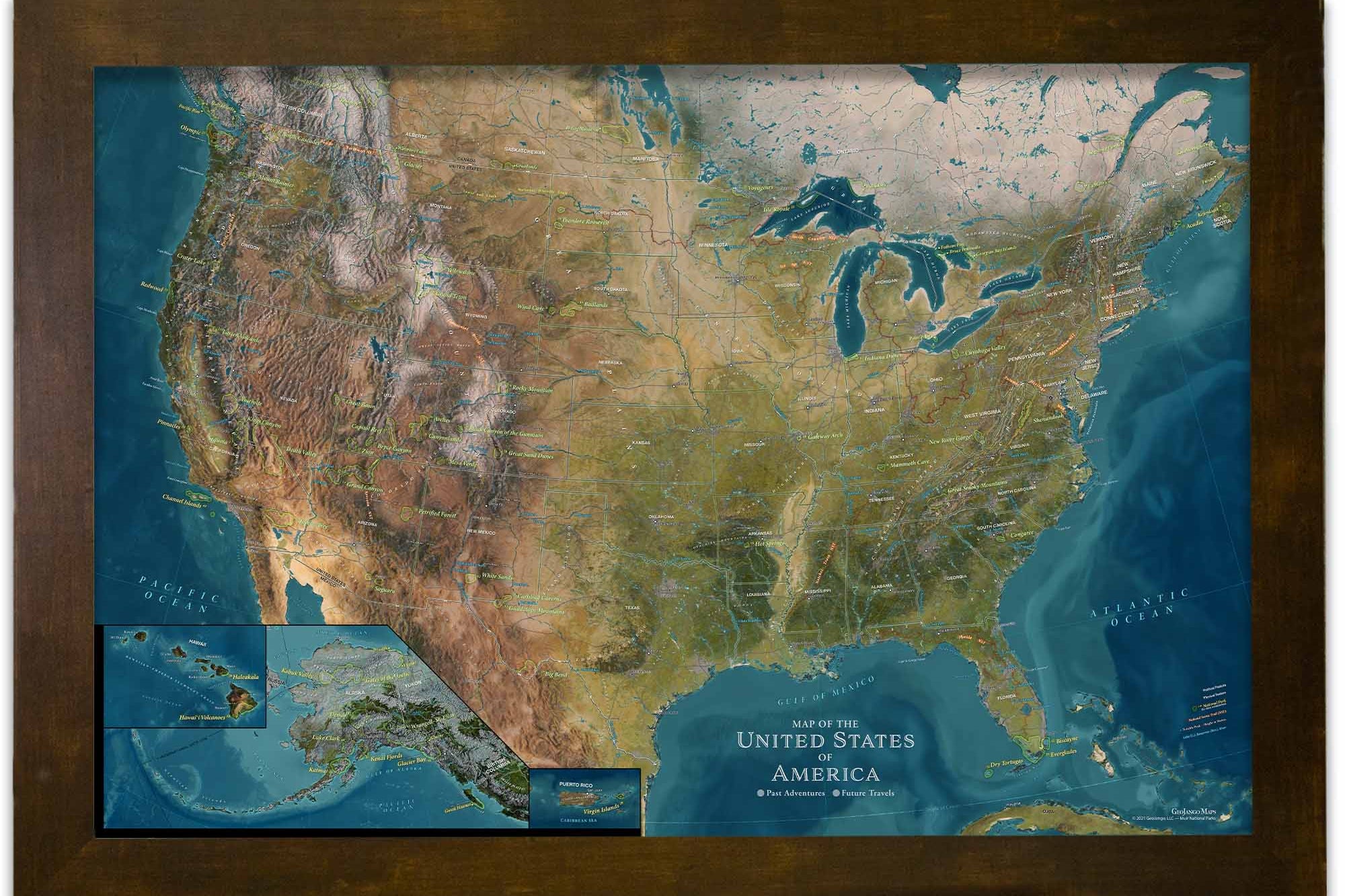
The Voyager 1 excludes the snow/ice modeling, so you can visualize the elevation and landscape of the terrain that lies beneath the snow cover.
The Magellan World Map features additional facts about Ferdinand Magellan's epic voyage around the world.
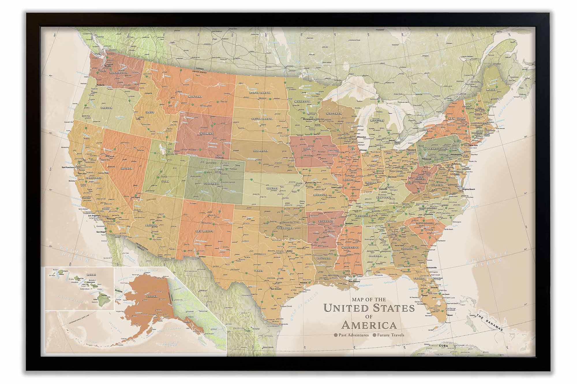
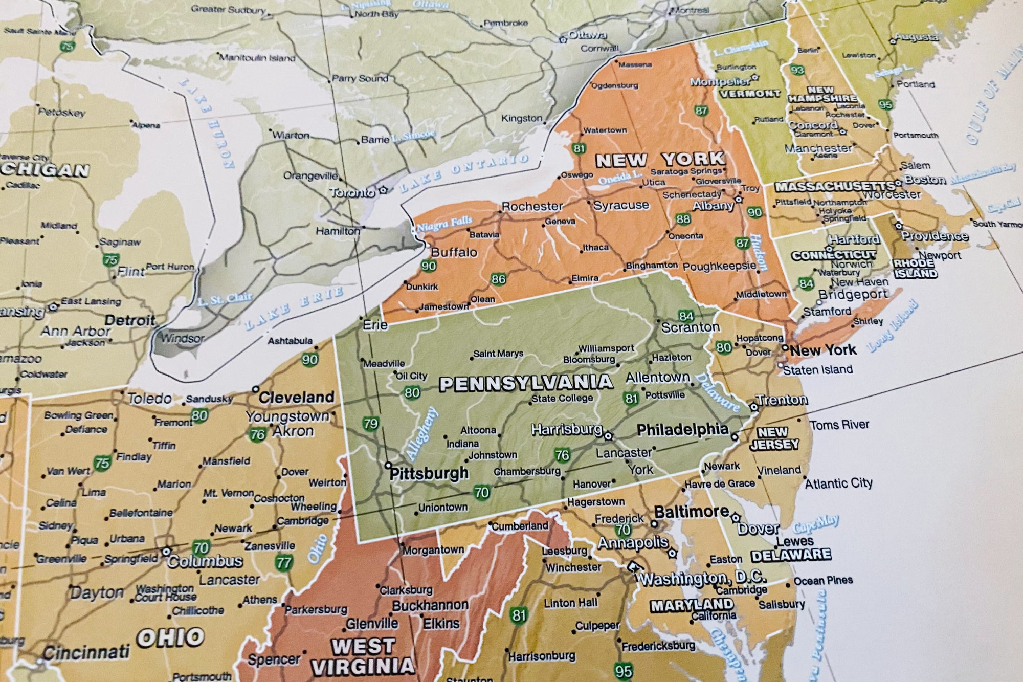
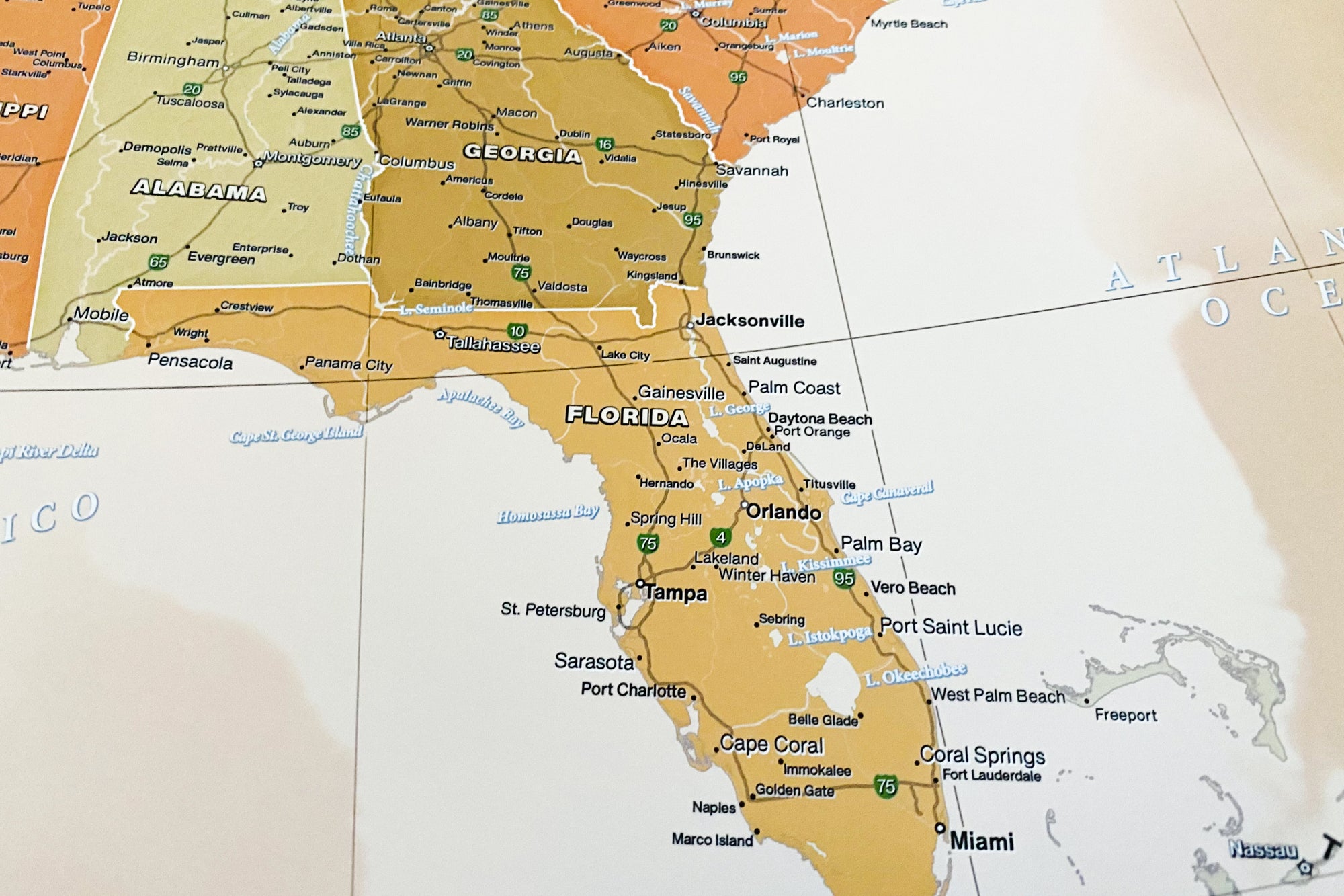
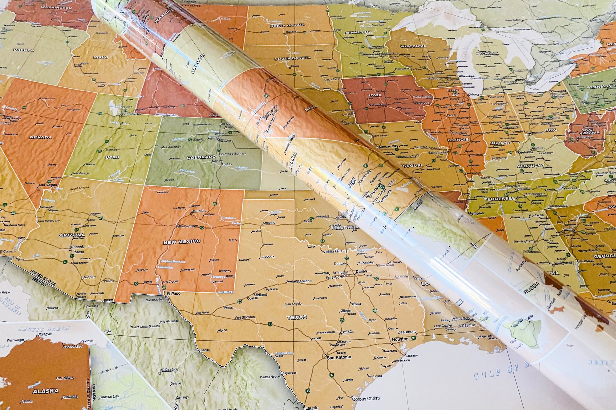
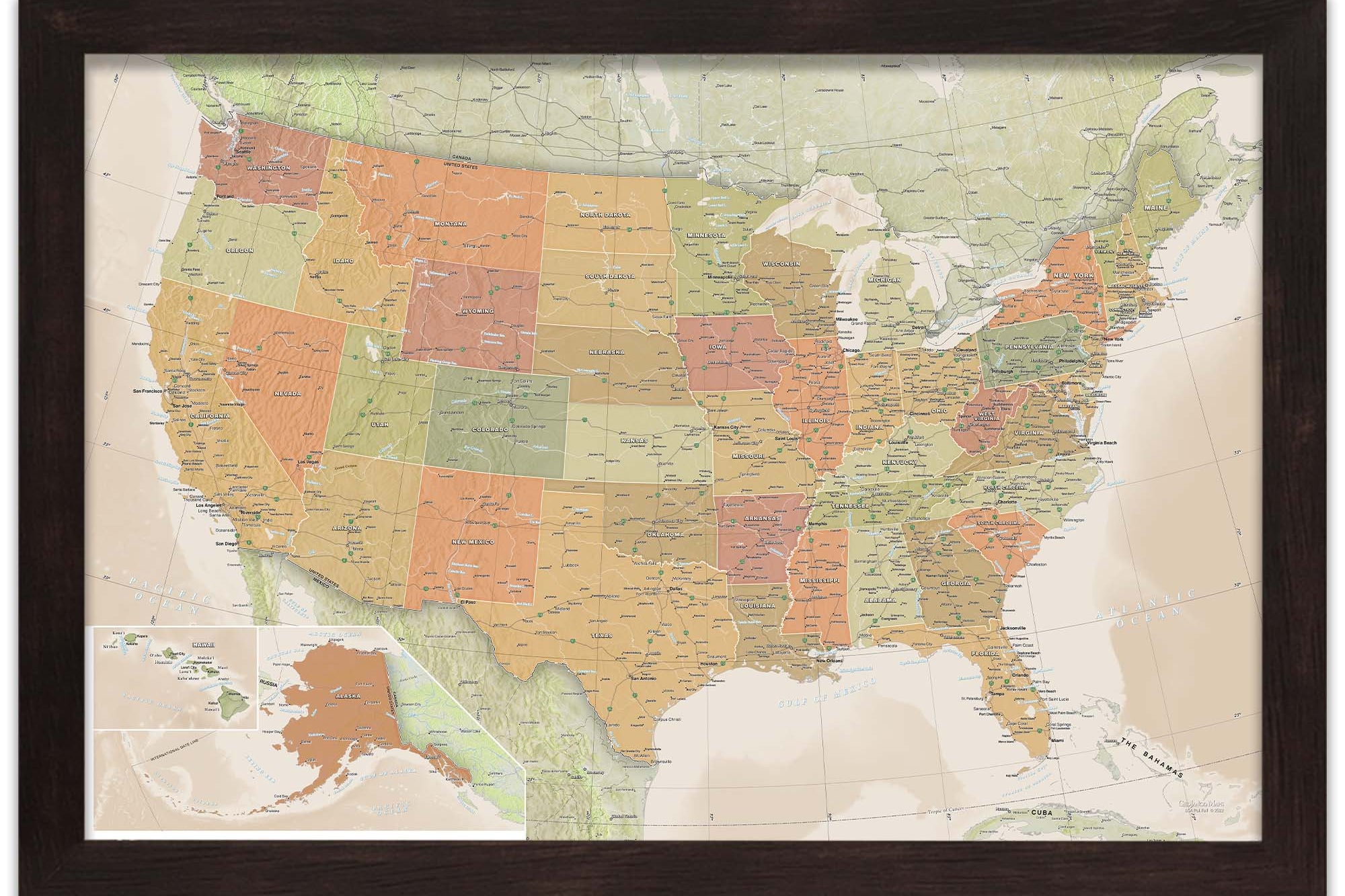
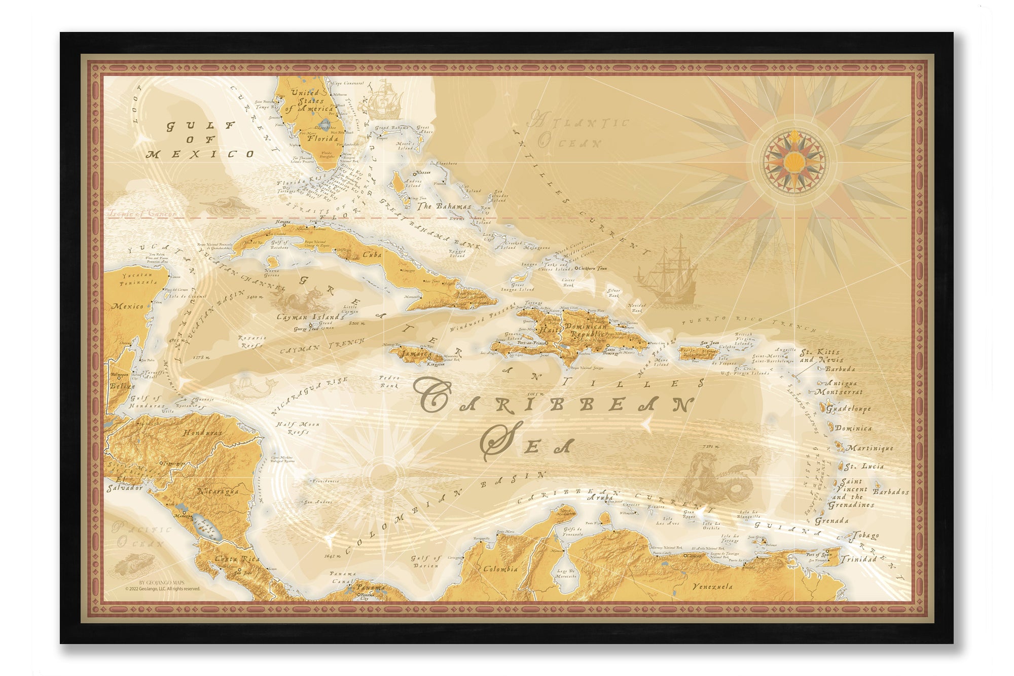
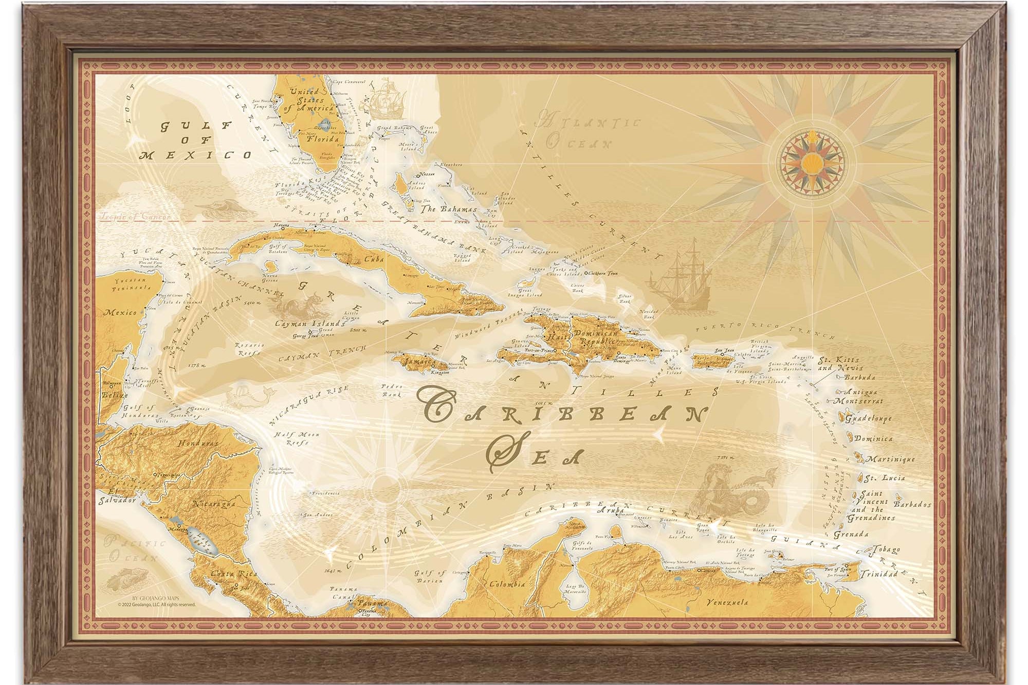
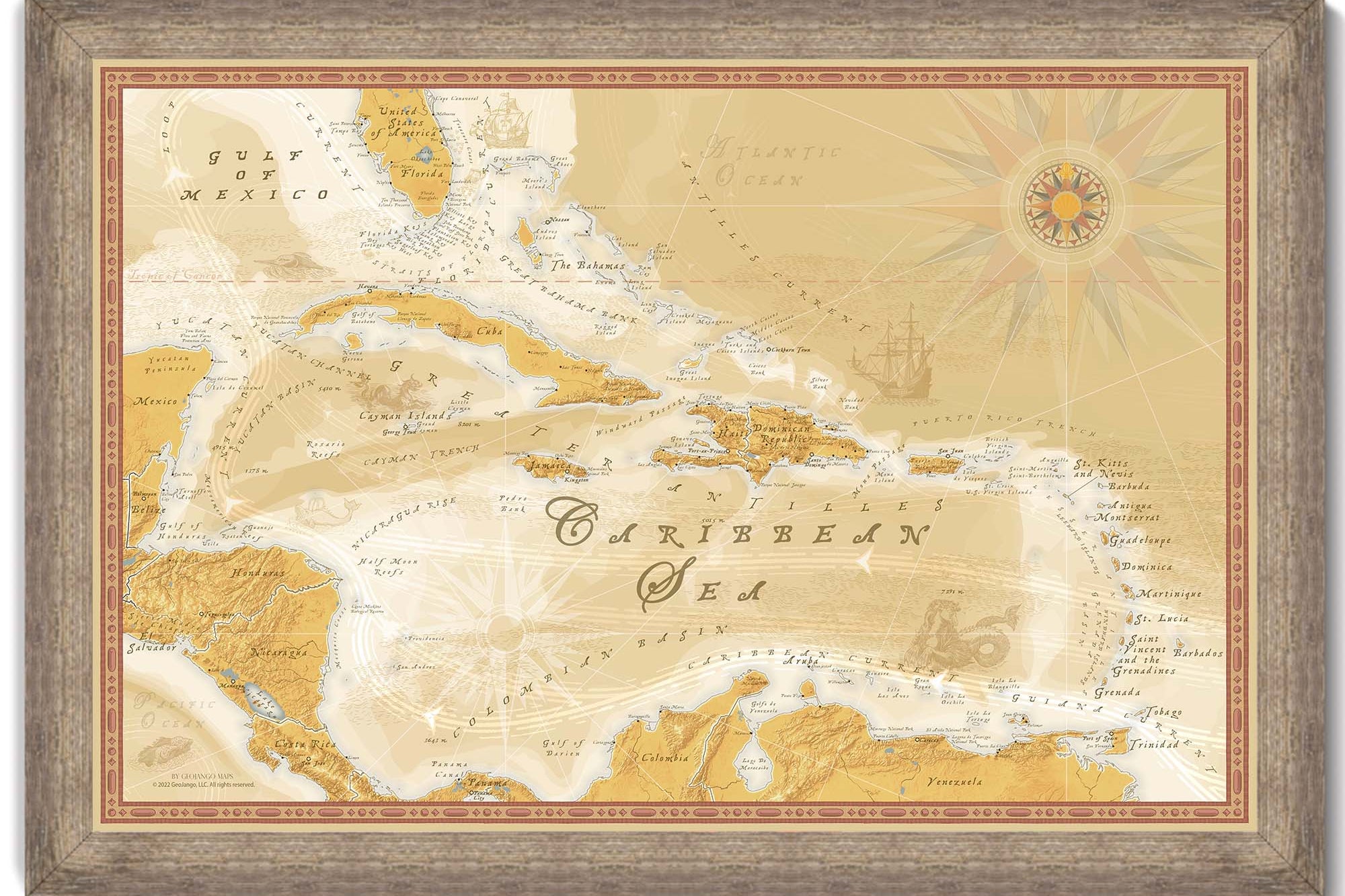
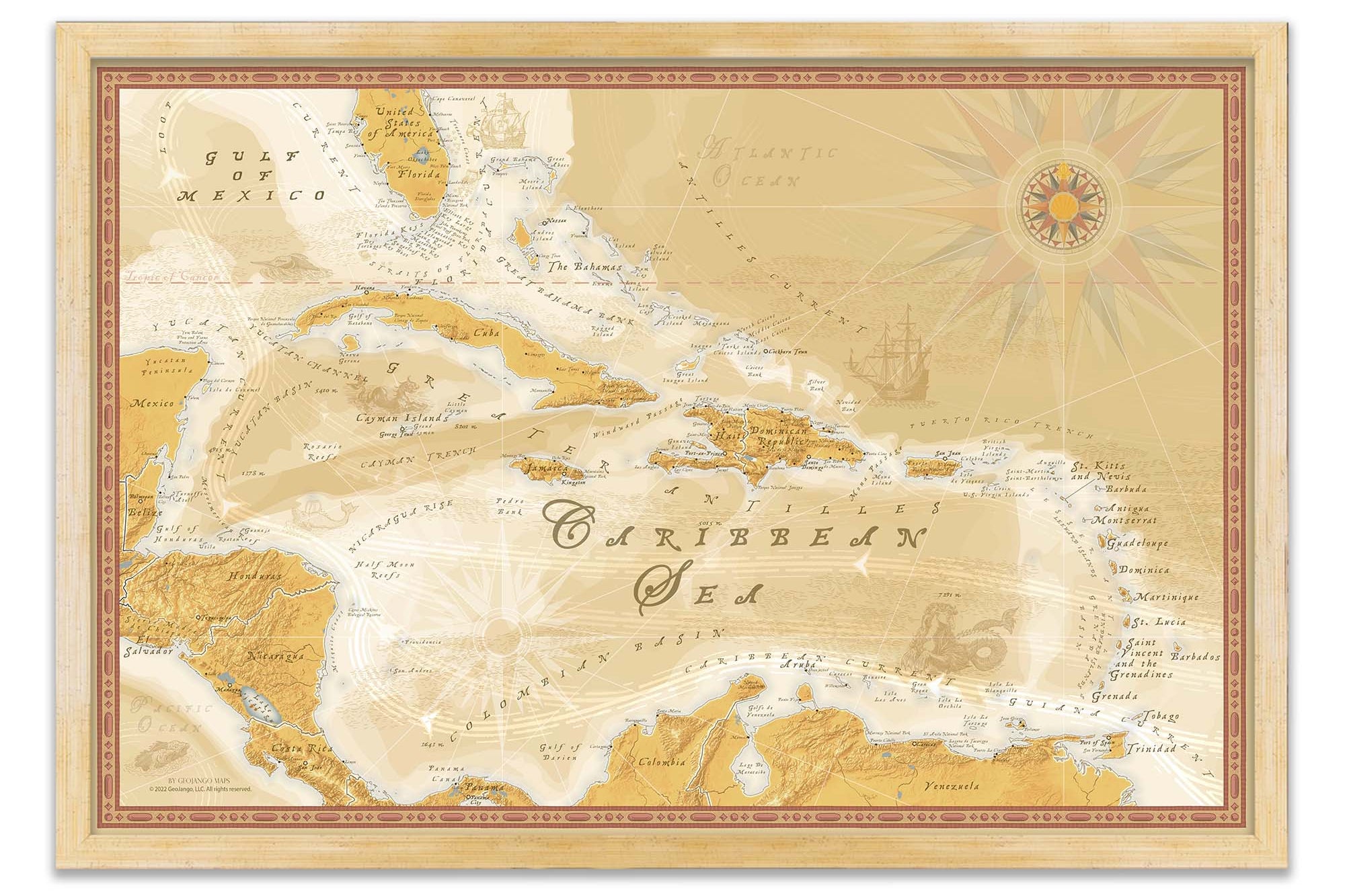
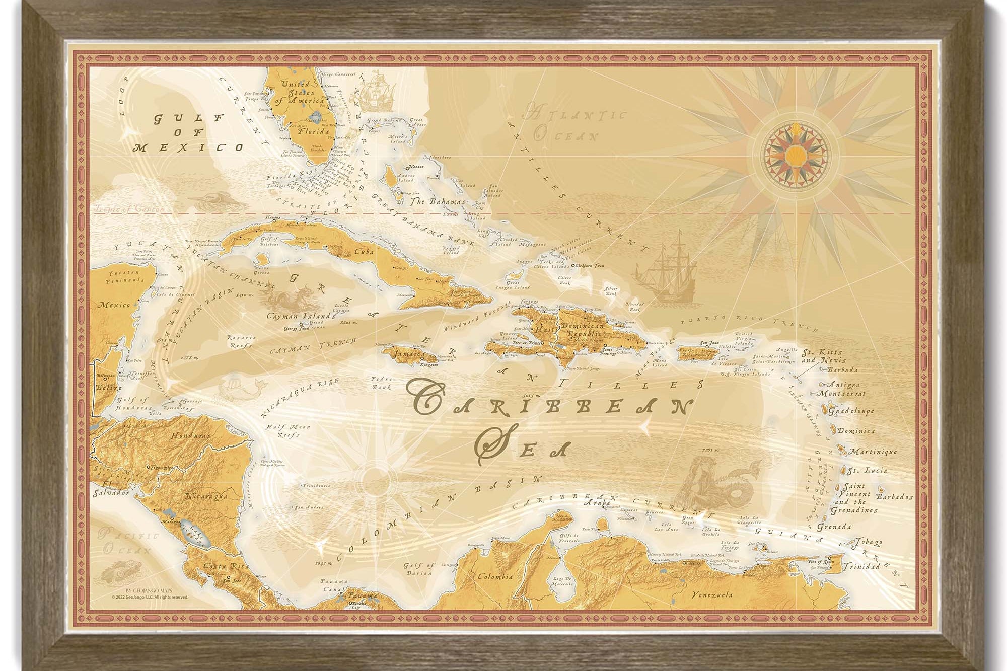
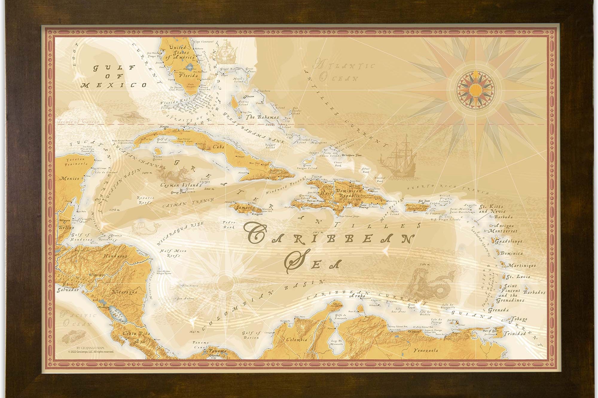
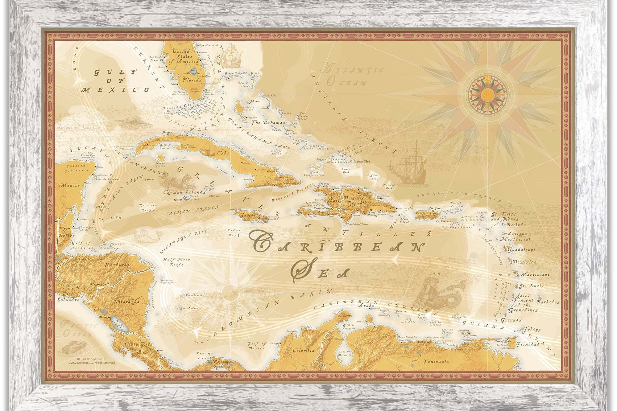
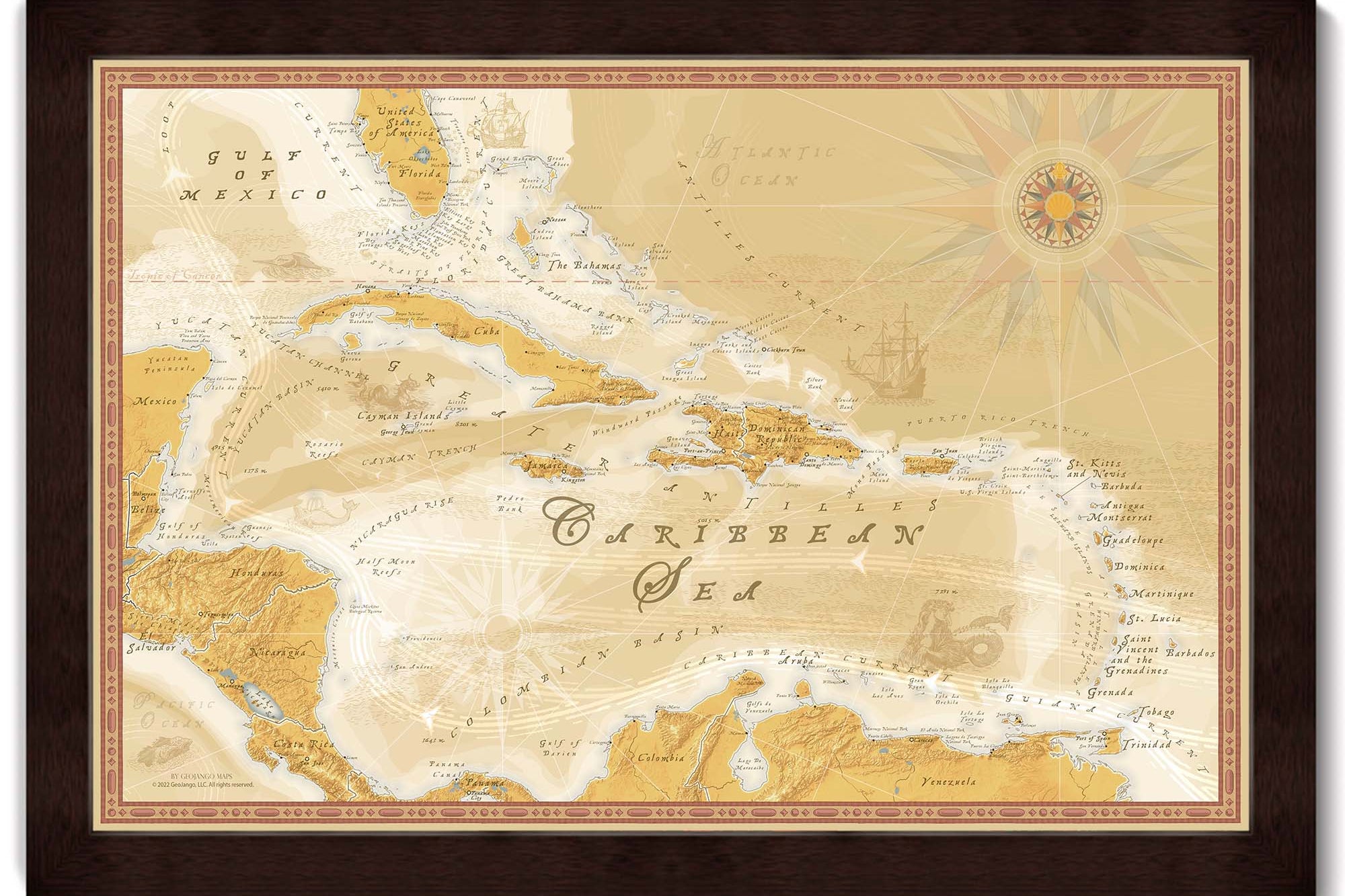
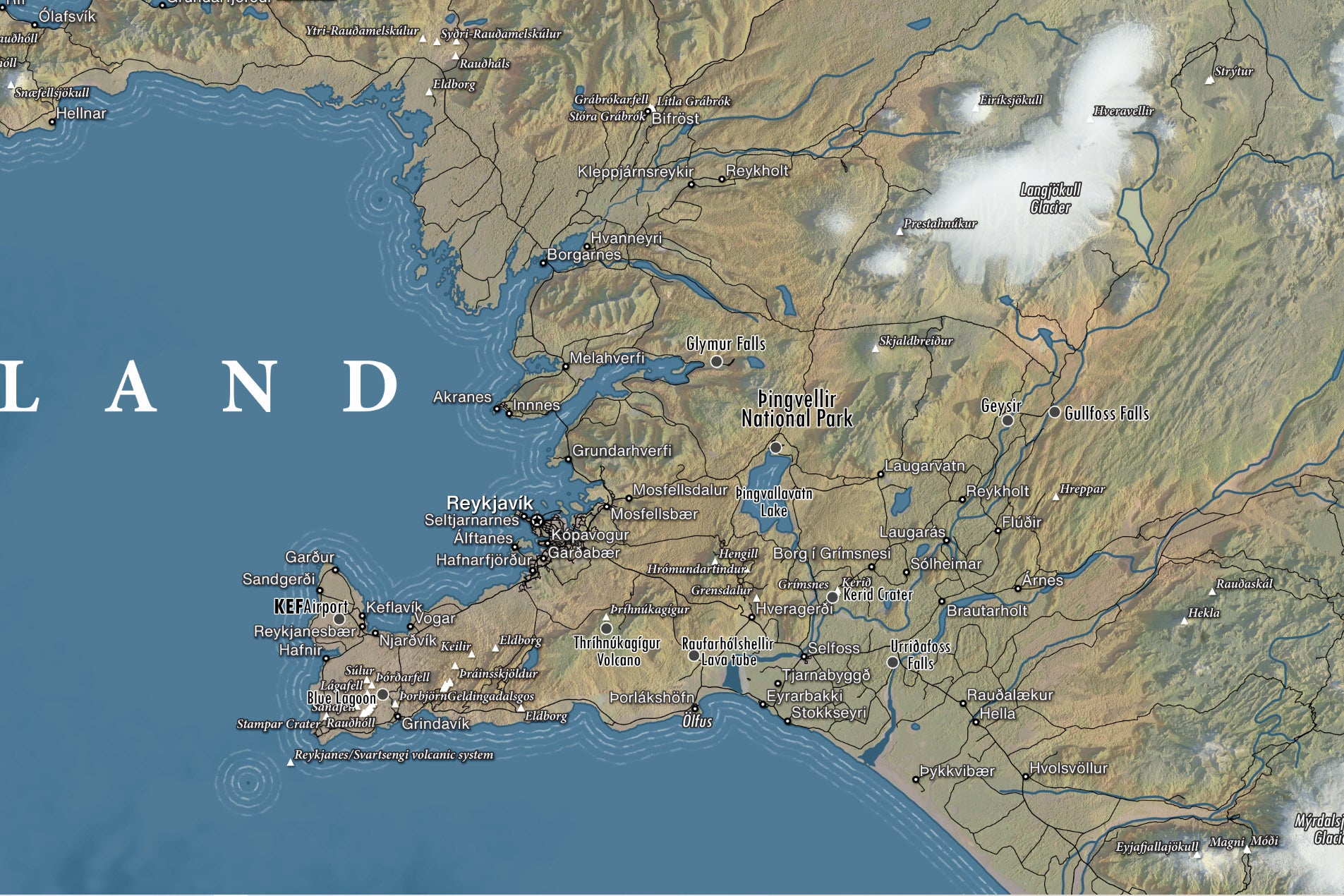
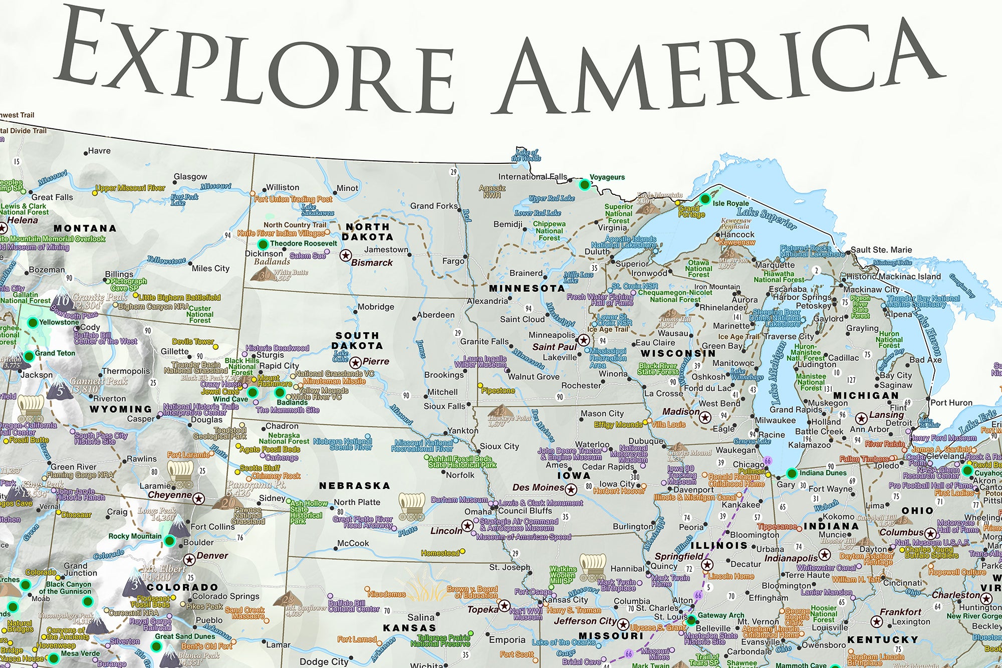
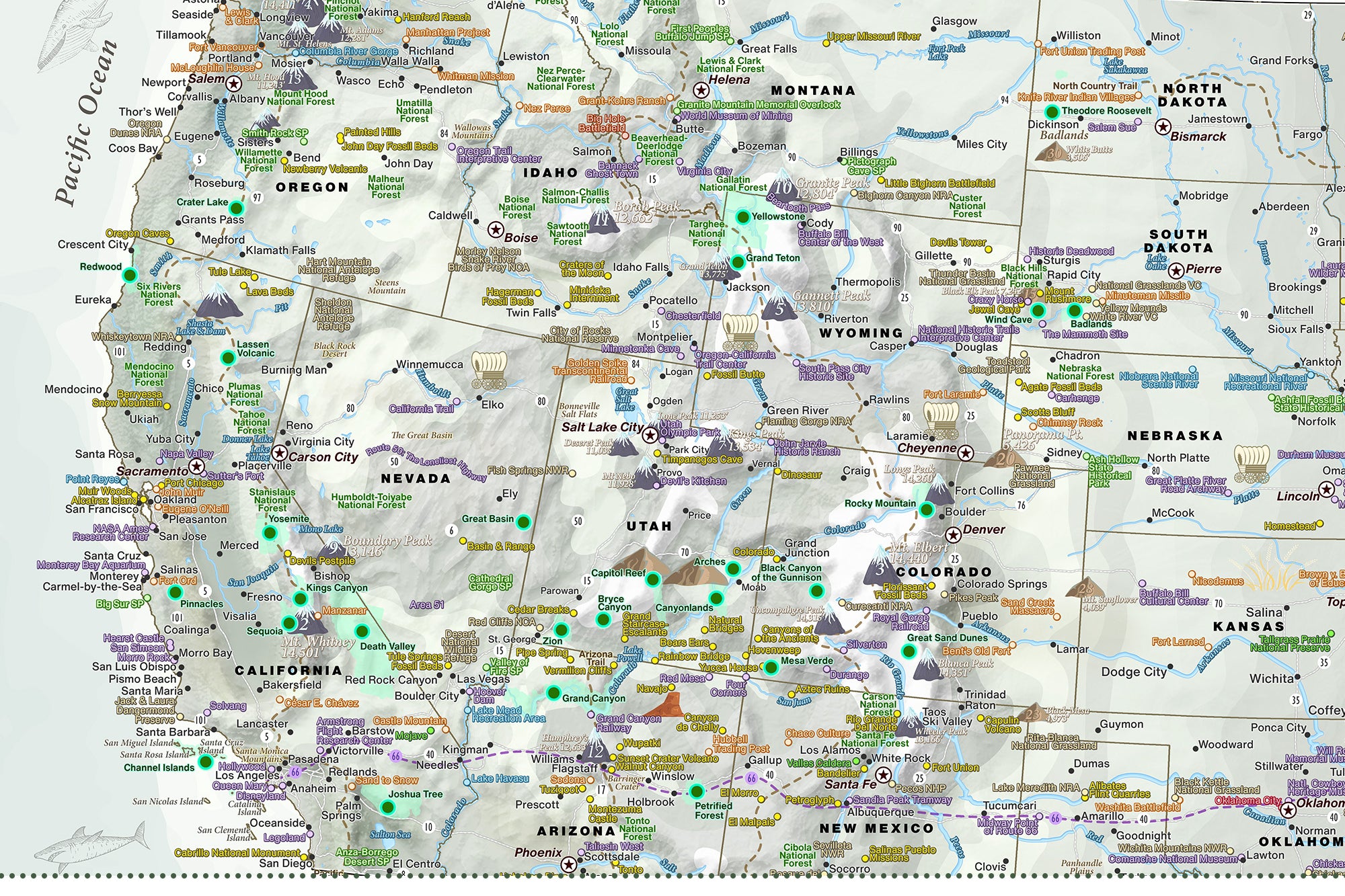
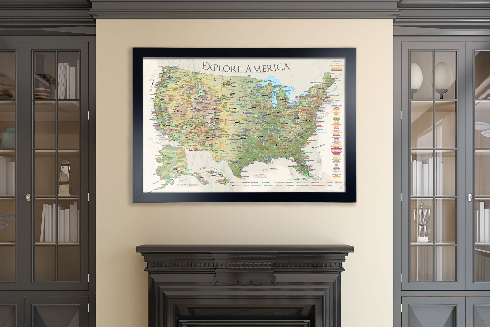
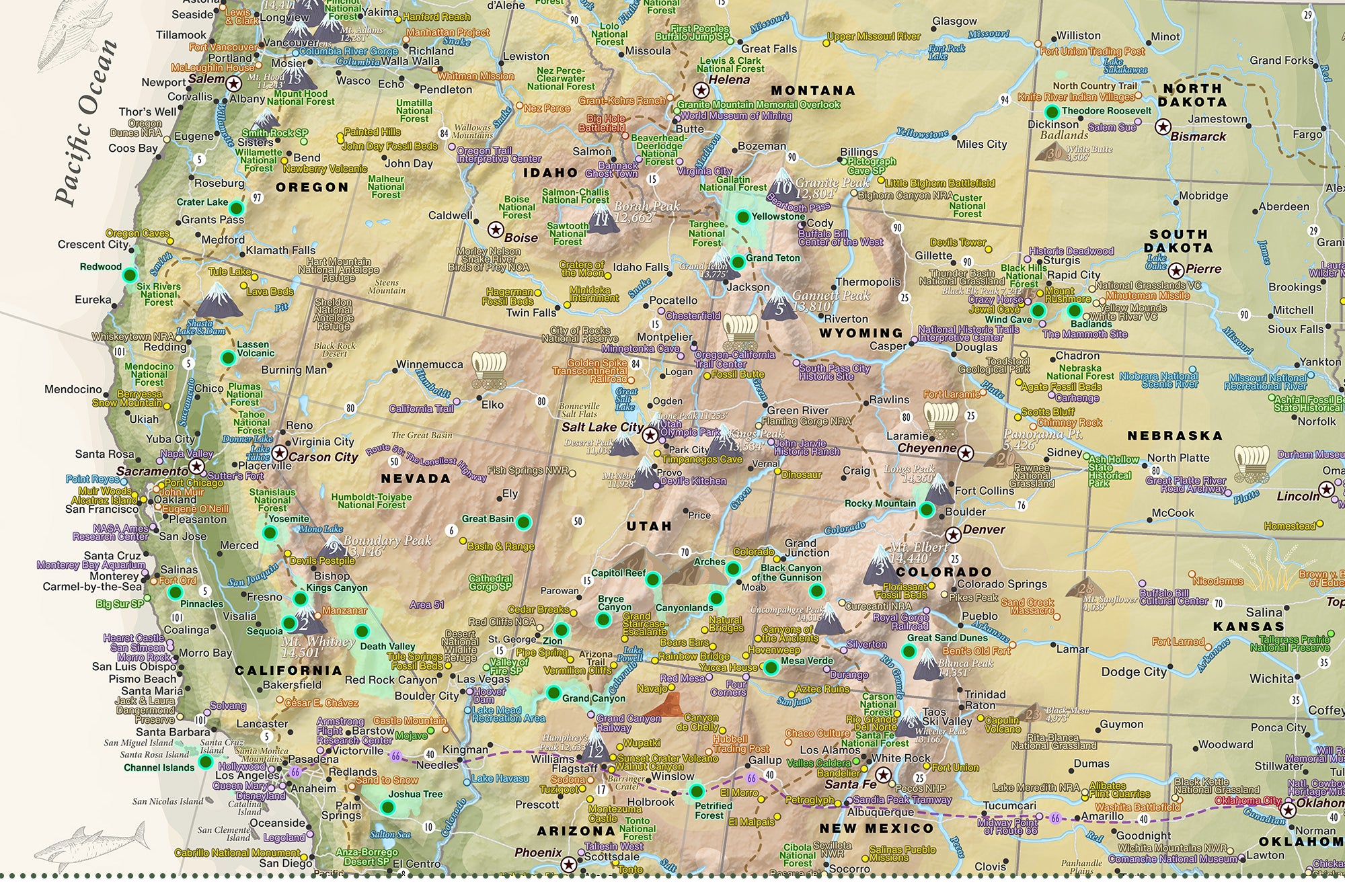
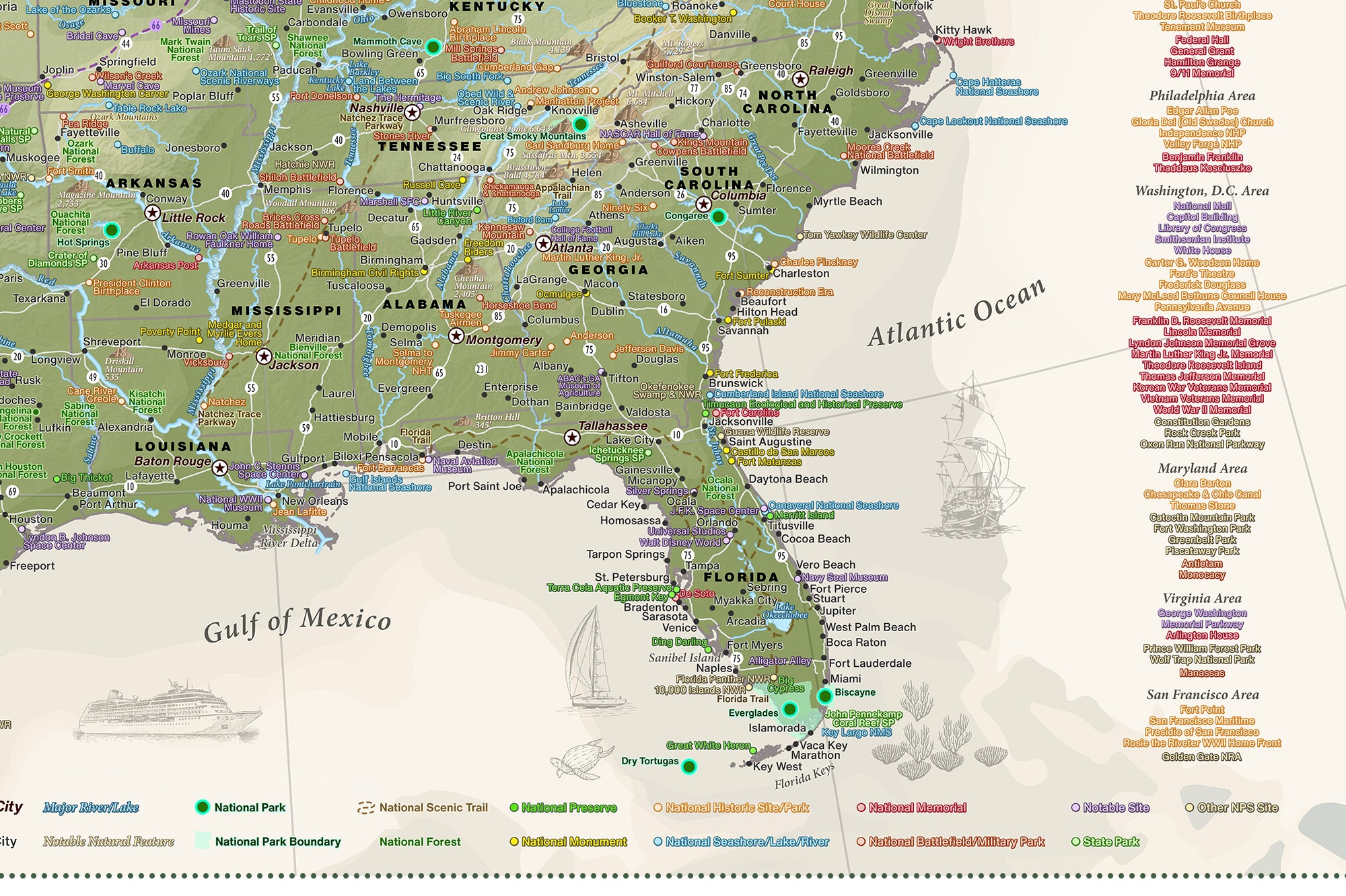
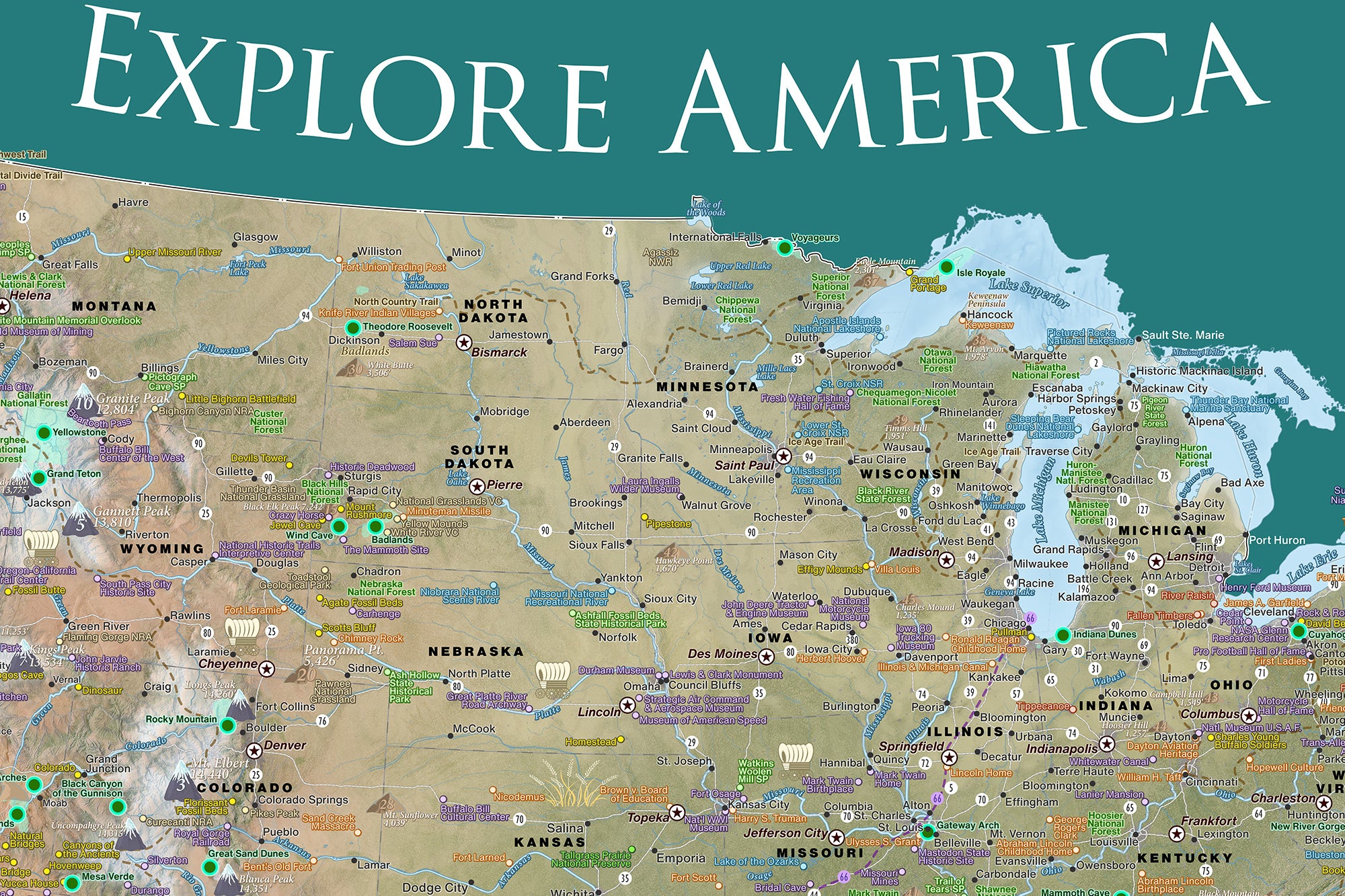
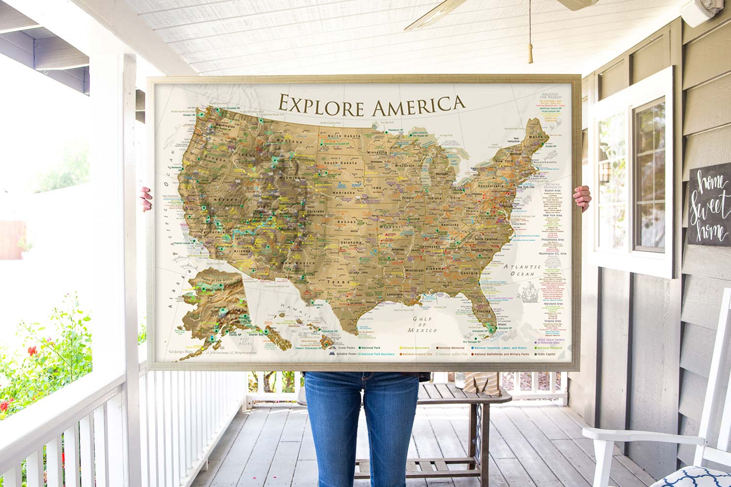
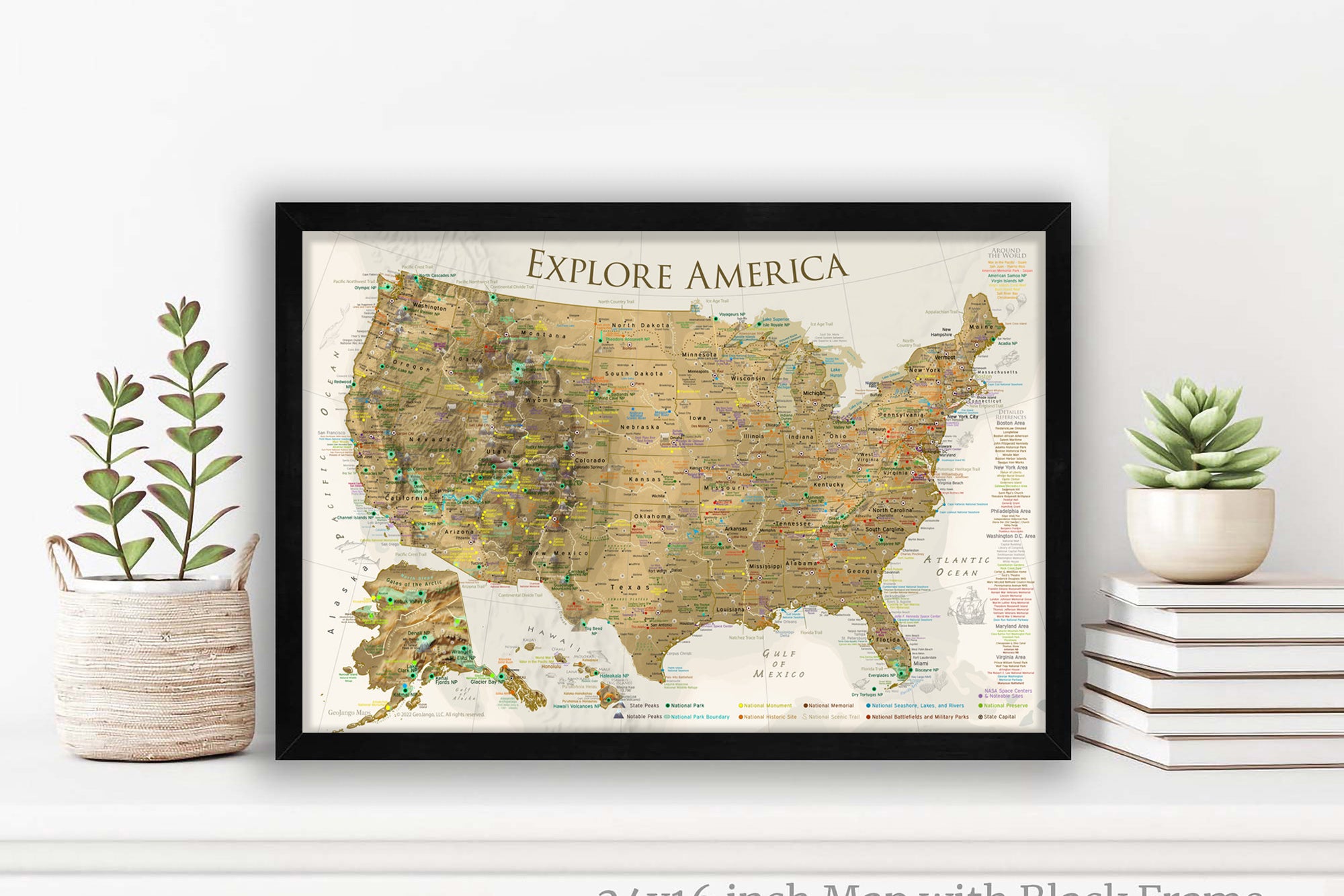
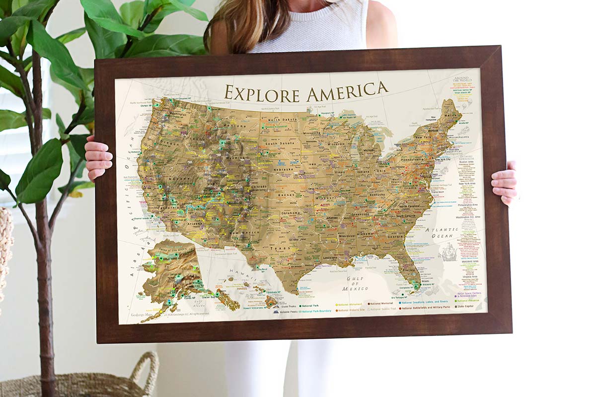
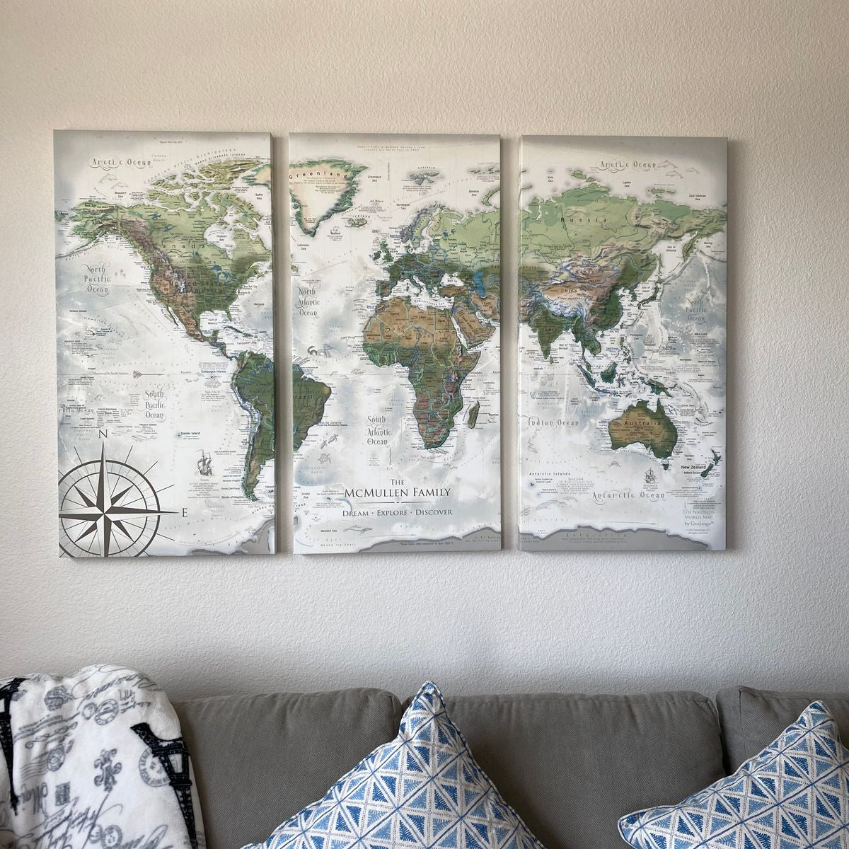
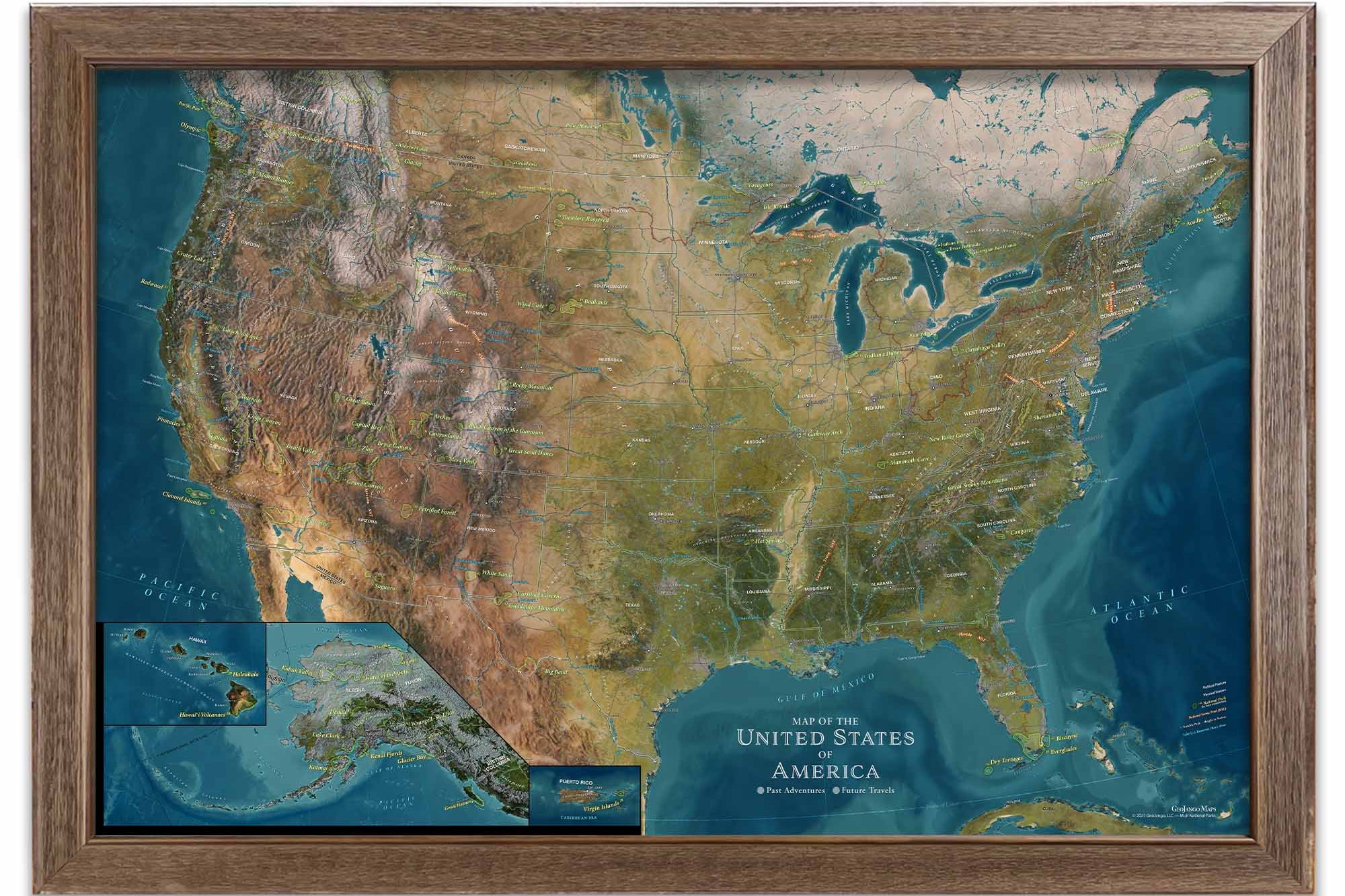
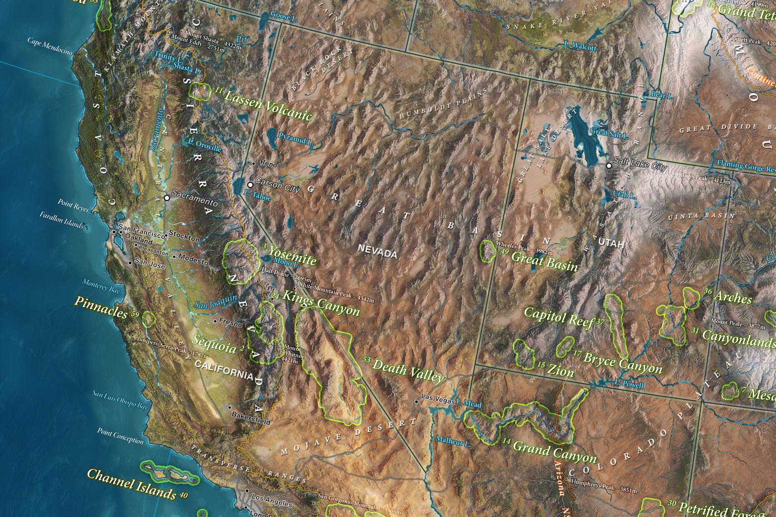
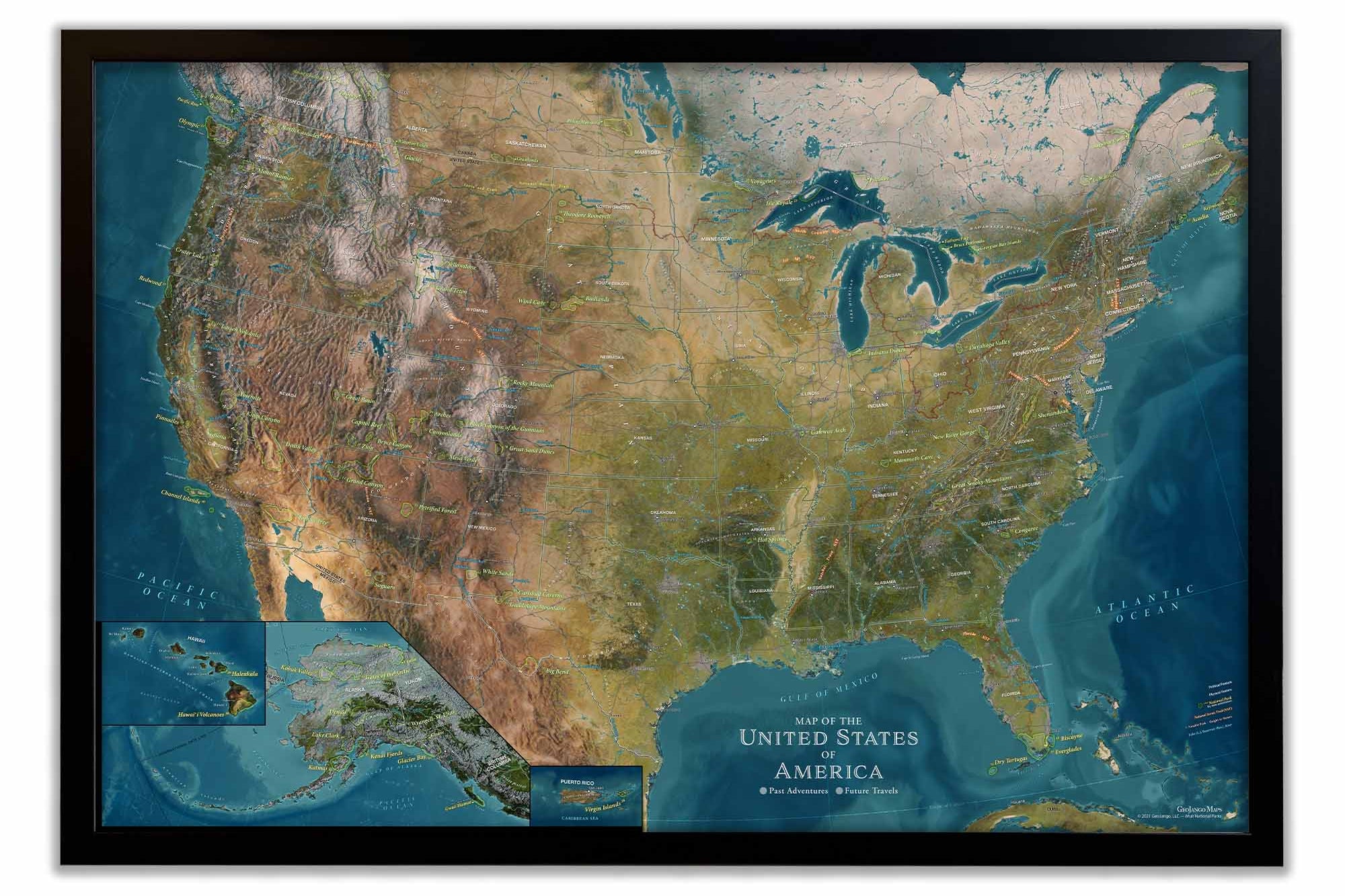
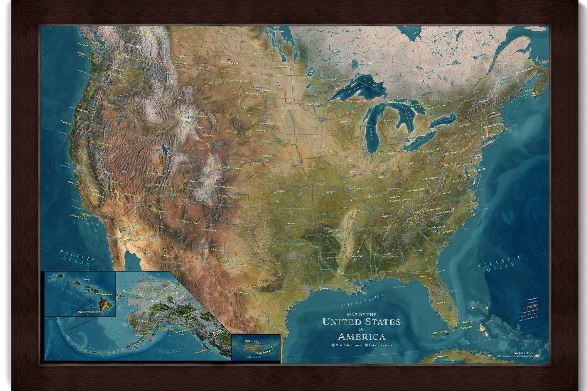
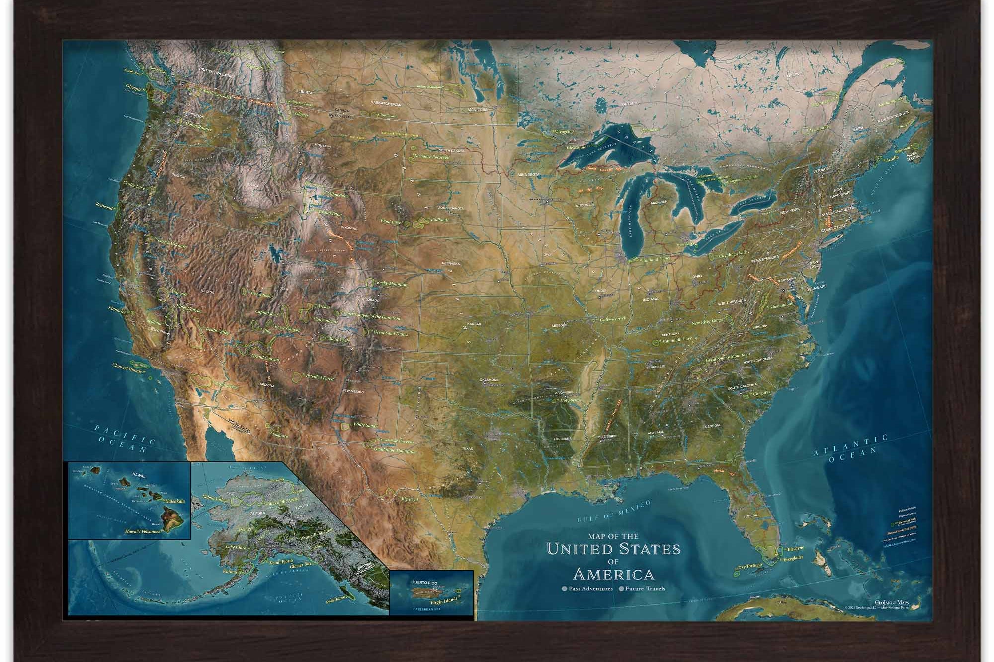
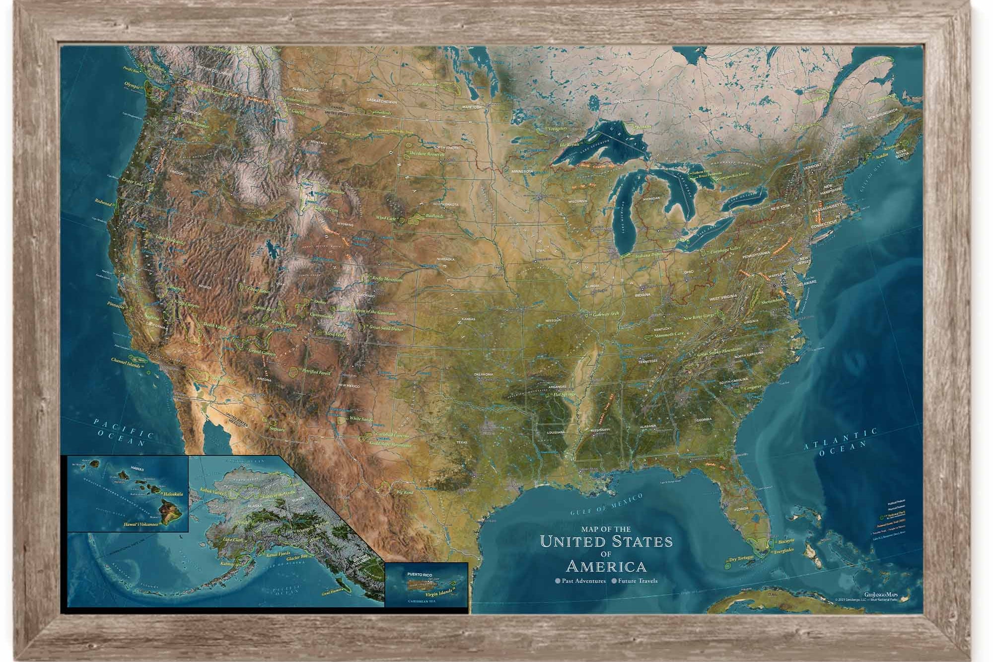
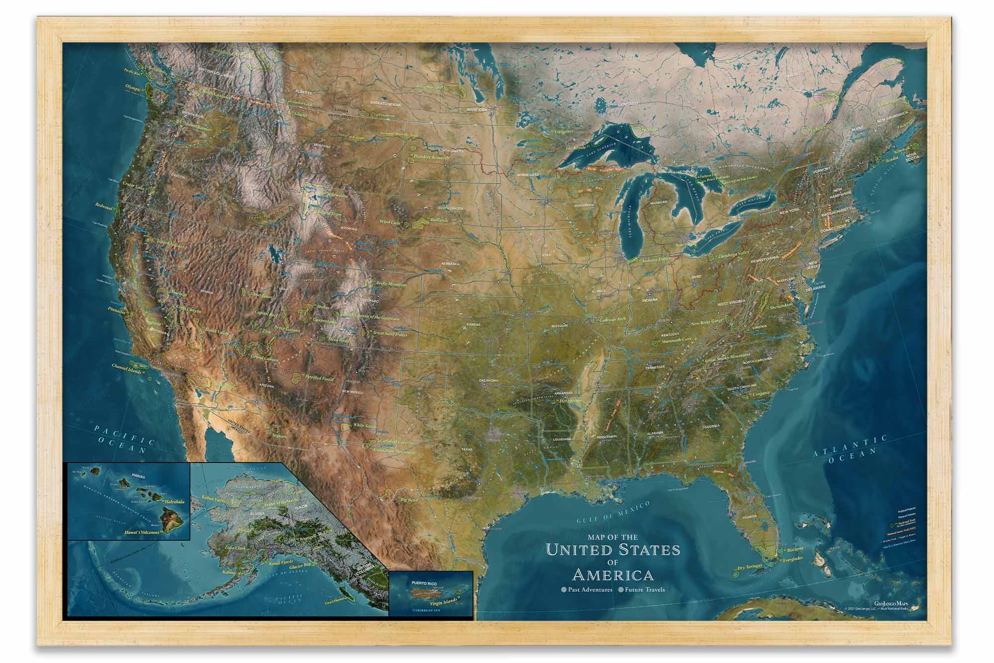
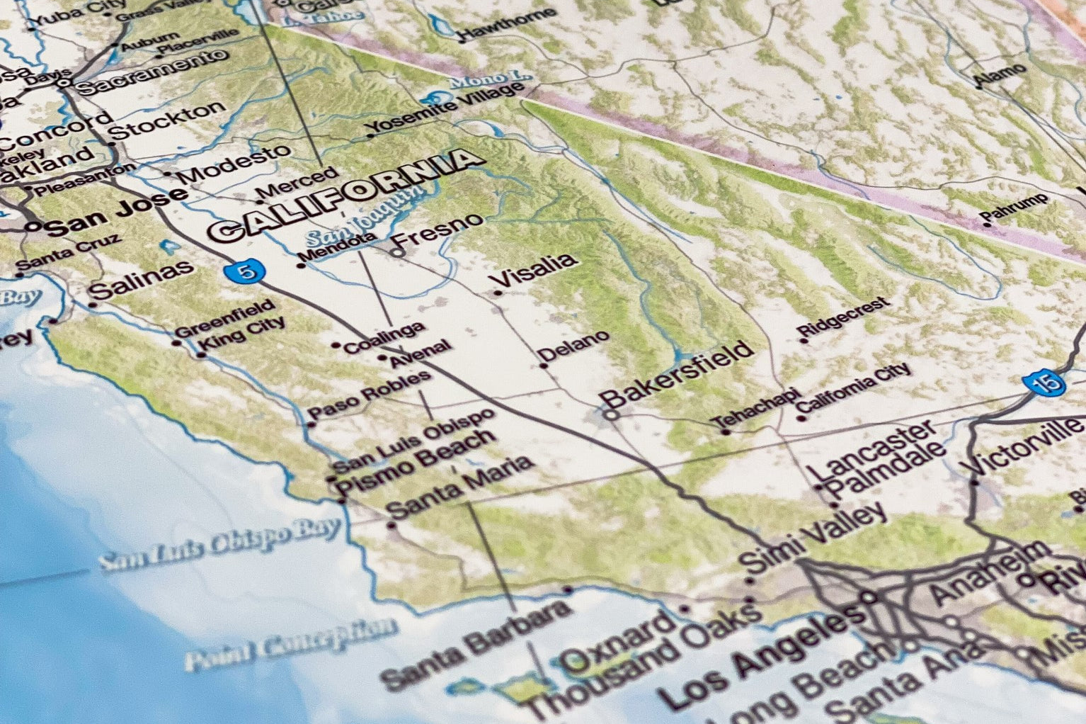
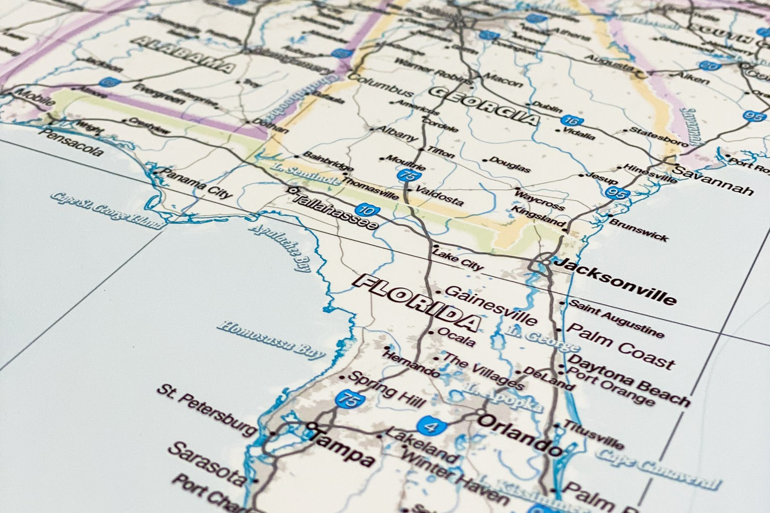
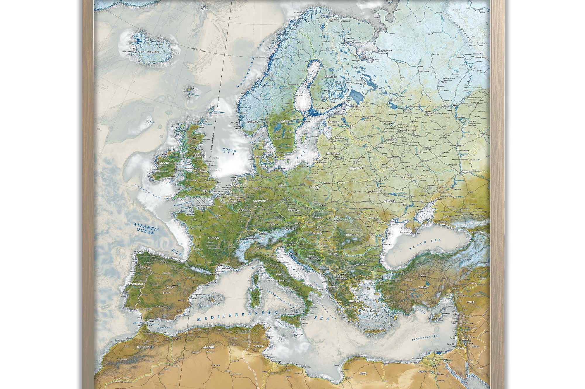
The Voyager, Nautilus, Magellan, Darwin, and Odyssey World Maps include modeling of the landscape and terrain (deserts, forests, flat lands, and more) and elevation features — which illustrate the mountainous regions. We applied a hillshade to model the sunlight at 3 p.m. consistently around the world. The hillshade provides a 3D effect. It is a flat surface — yet looks 3D due to the incredible modeling technique.
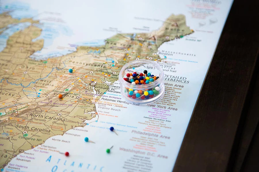
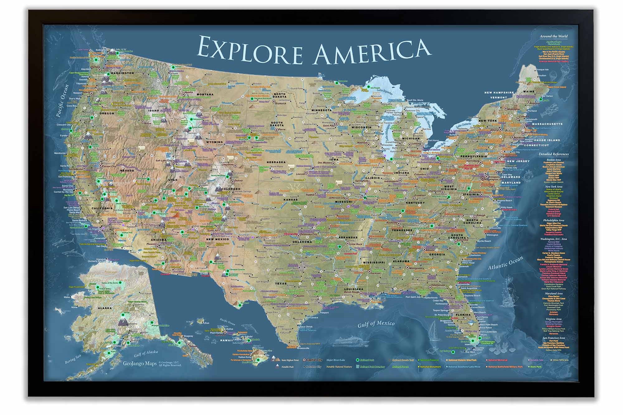
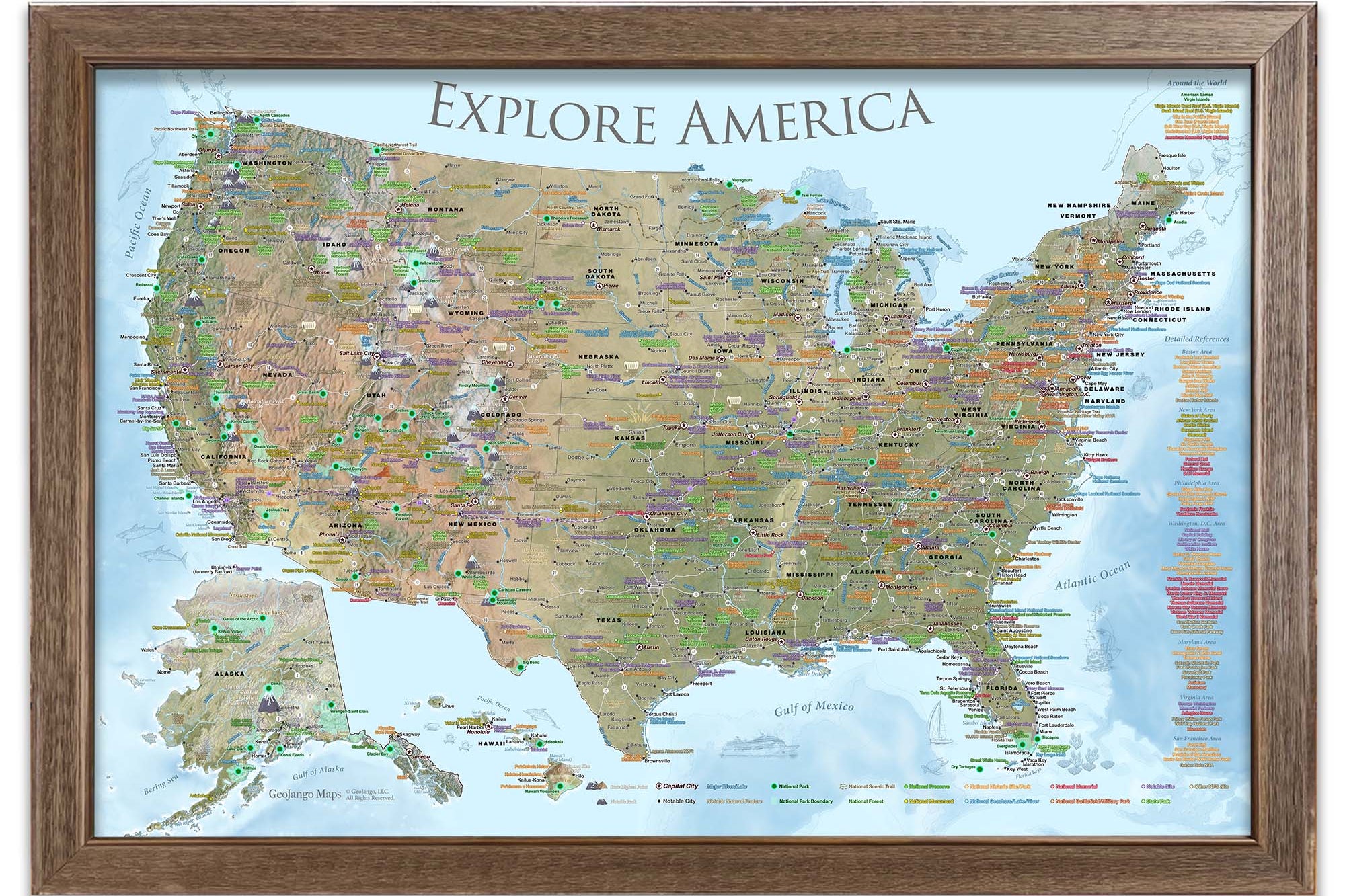
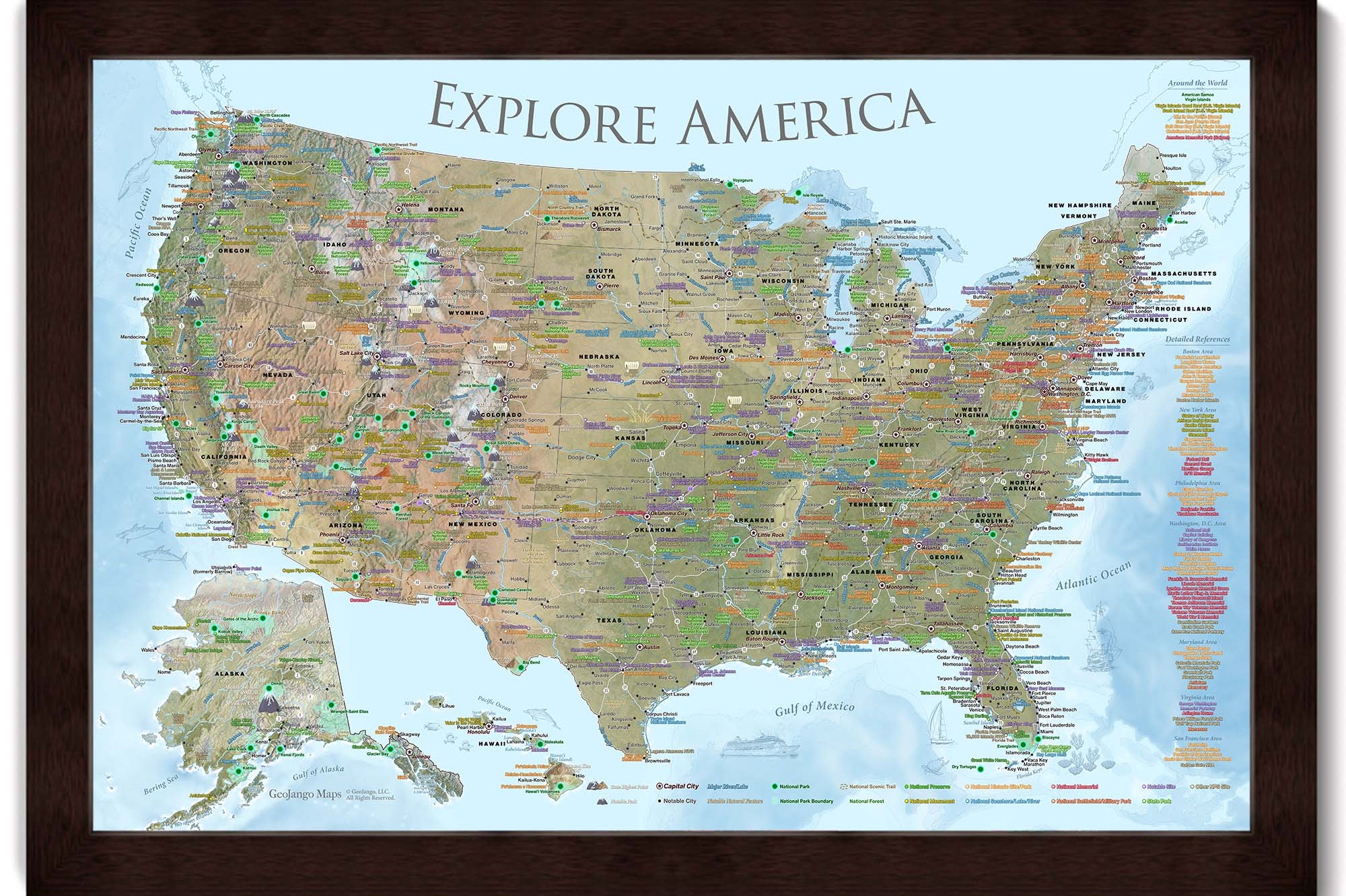
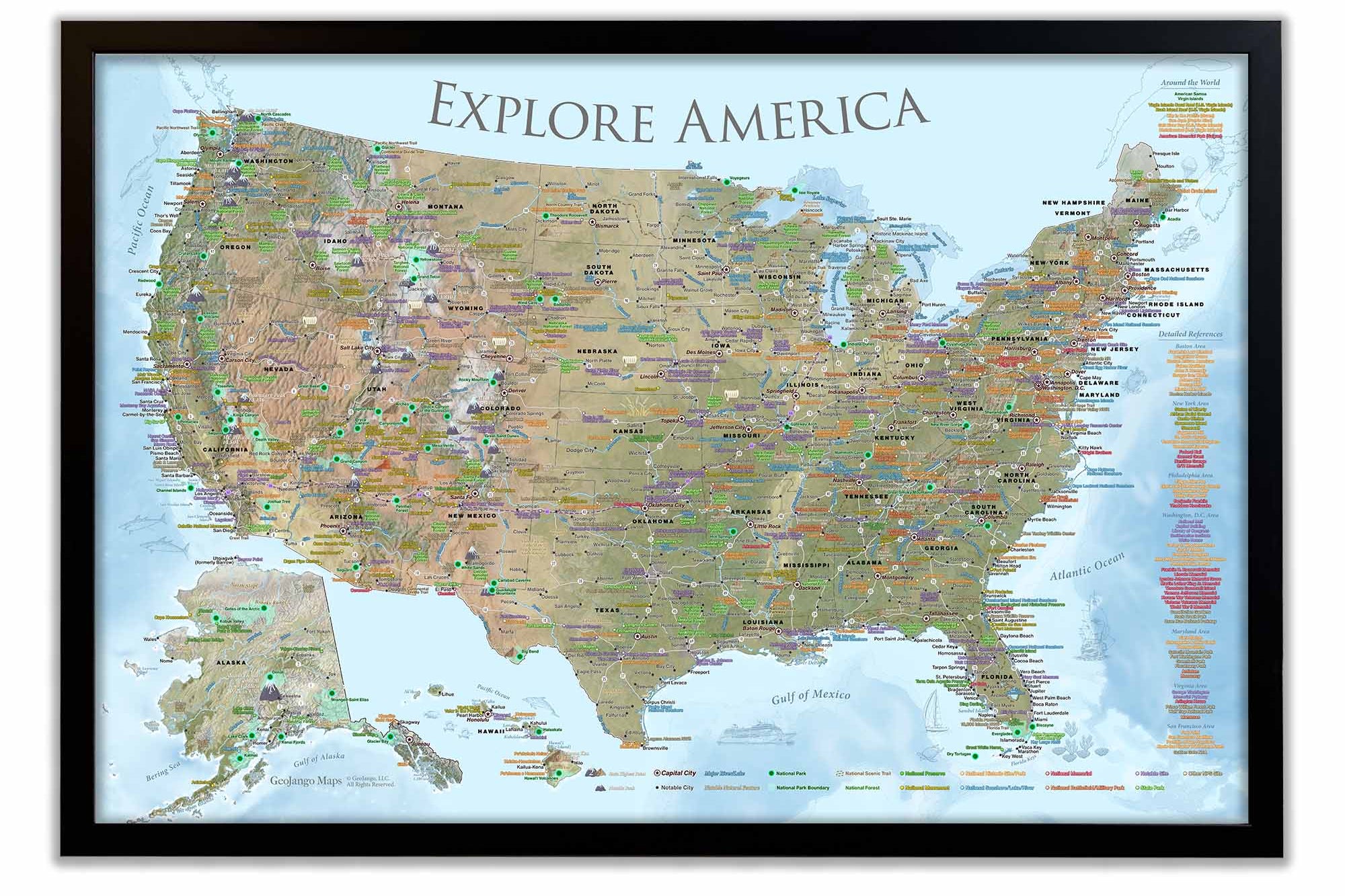
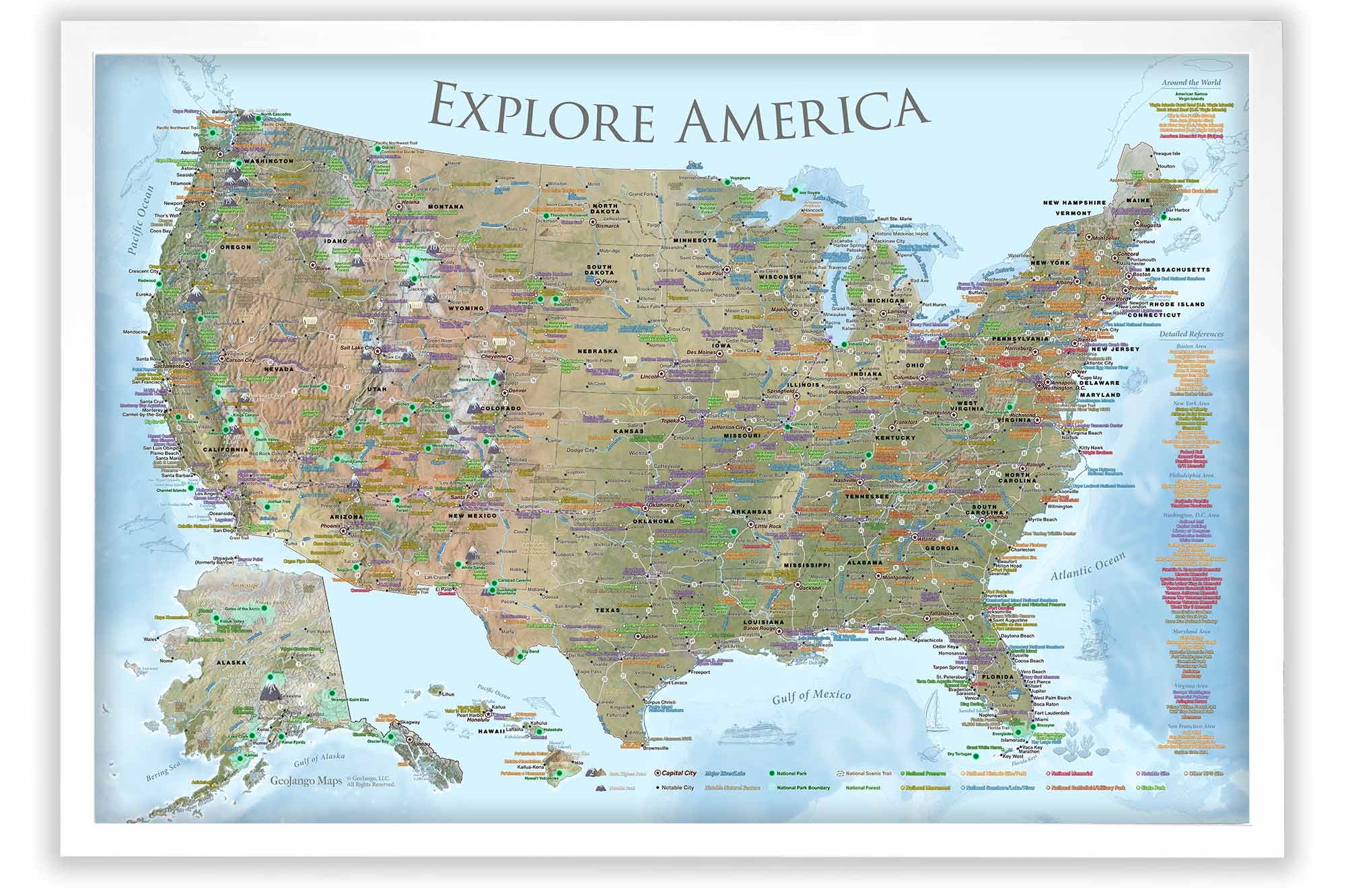
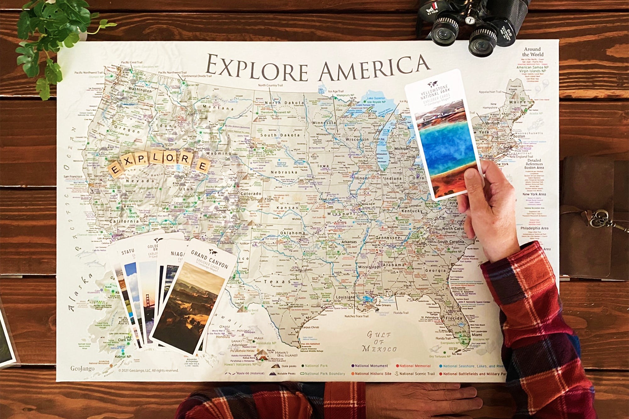
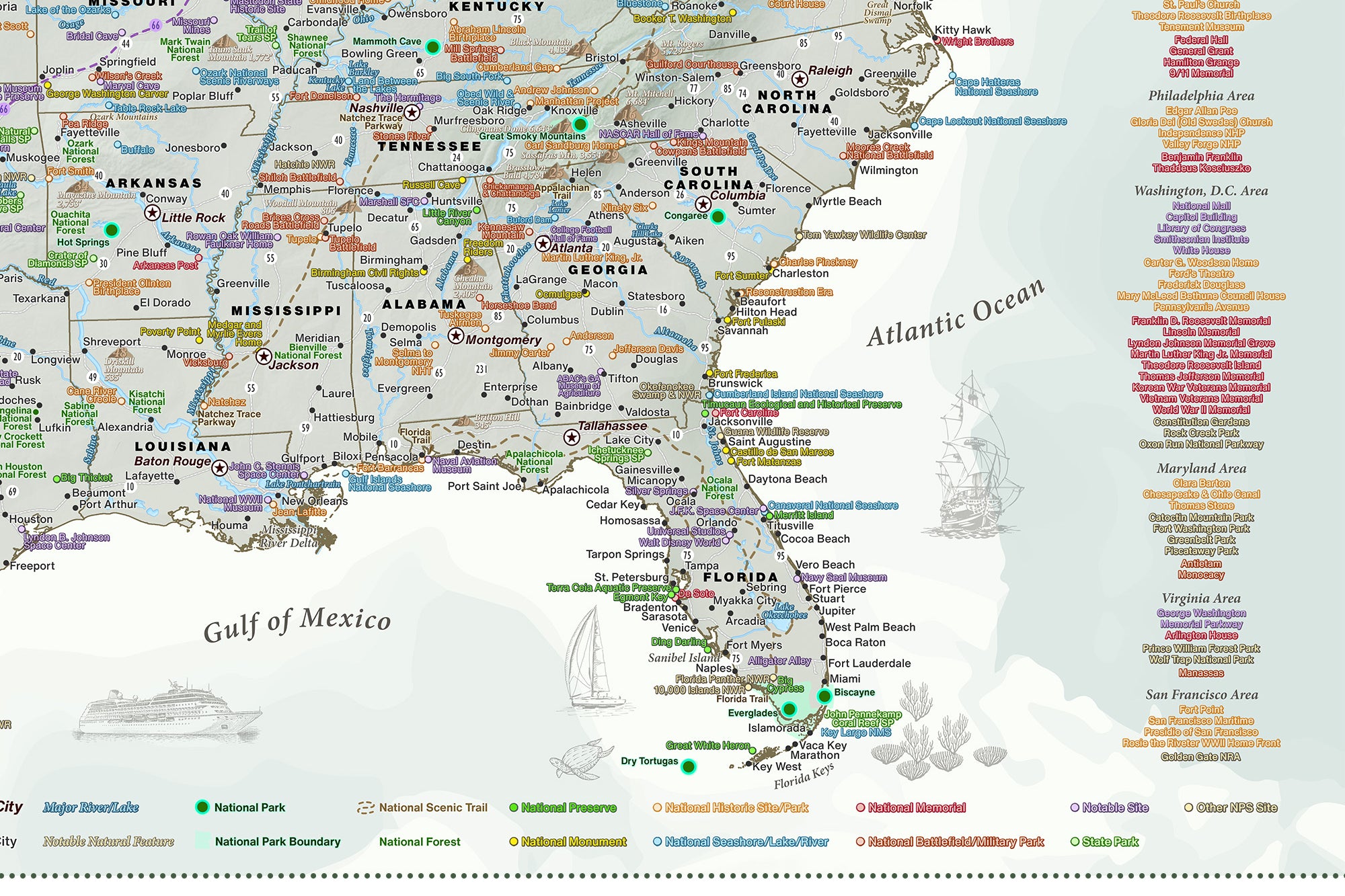
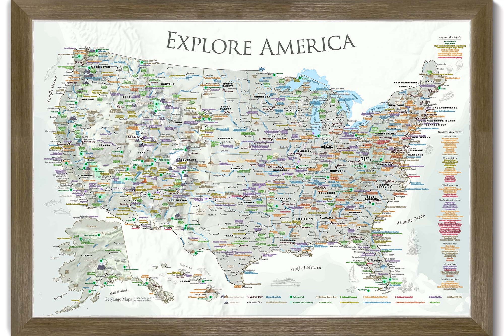
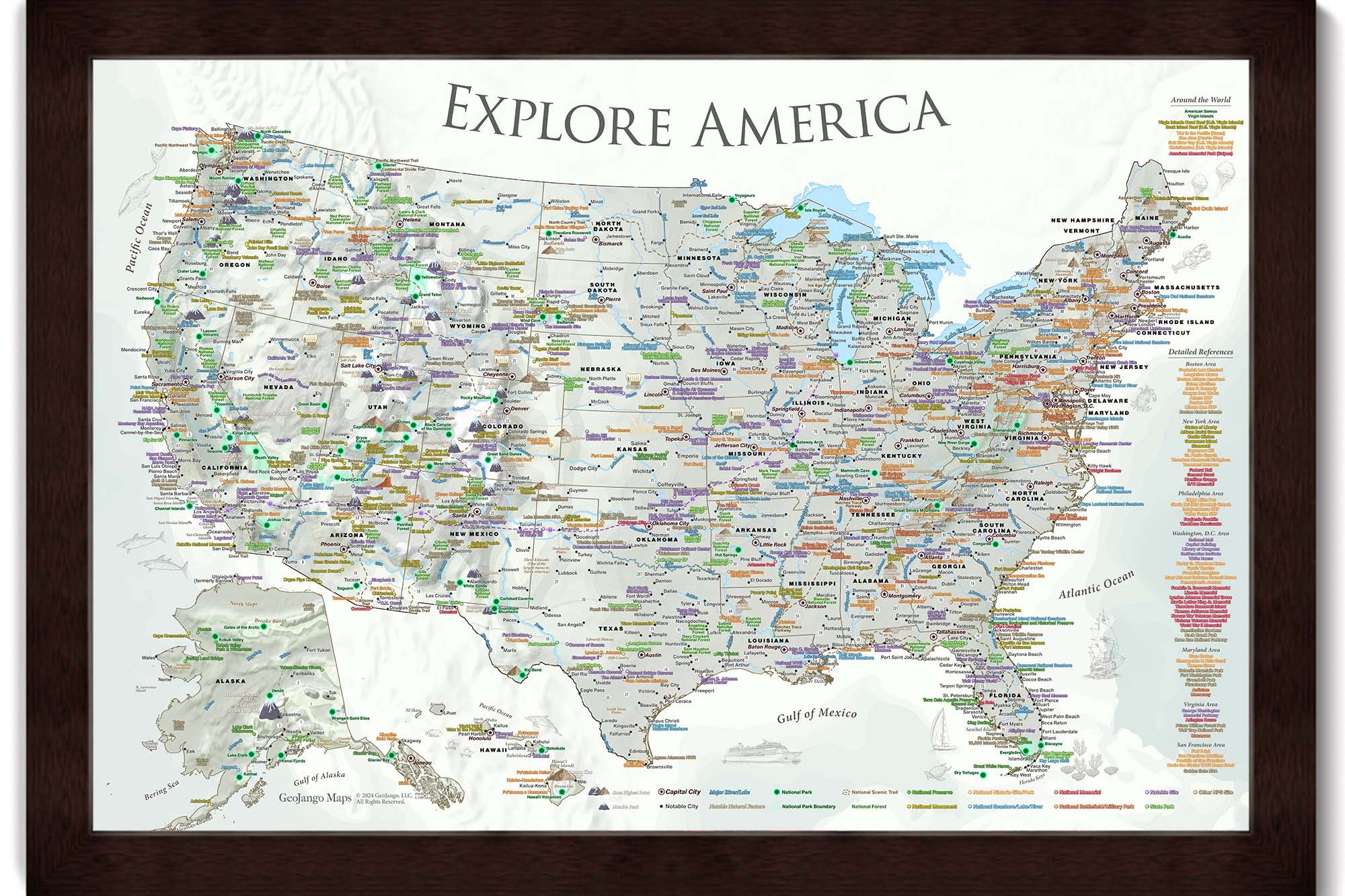
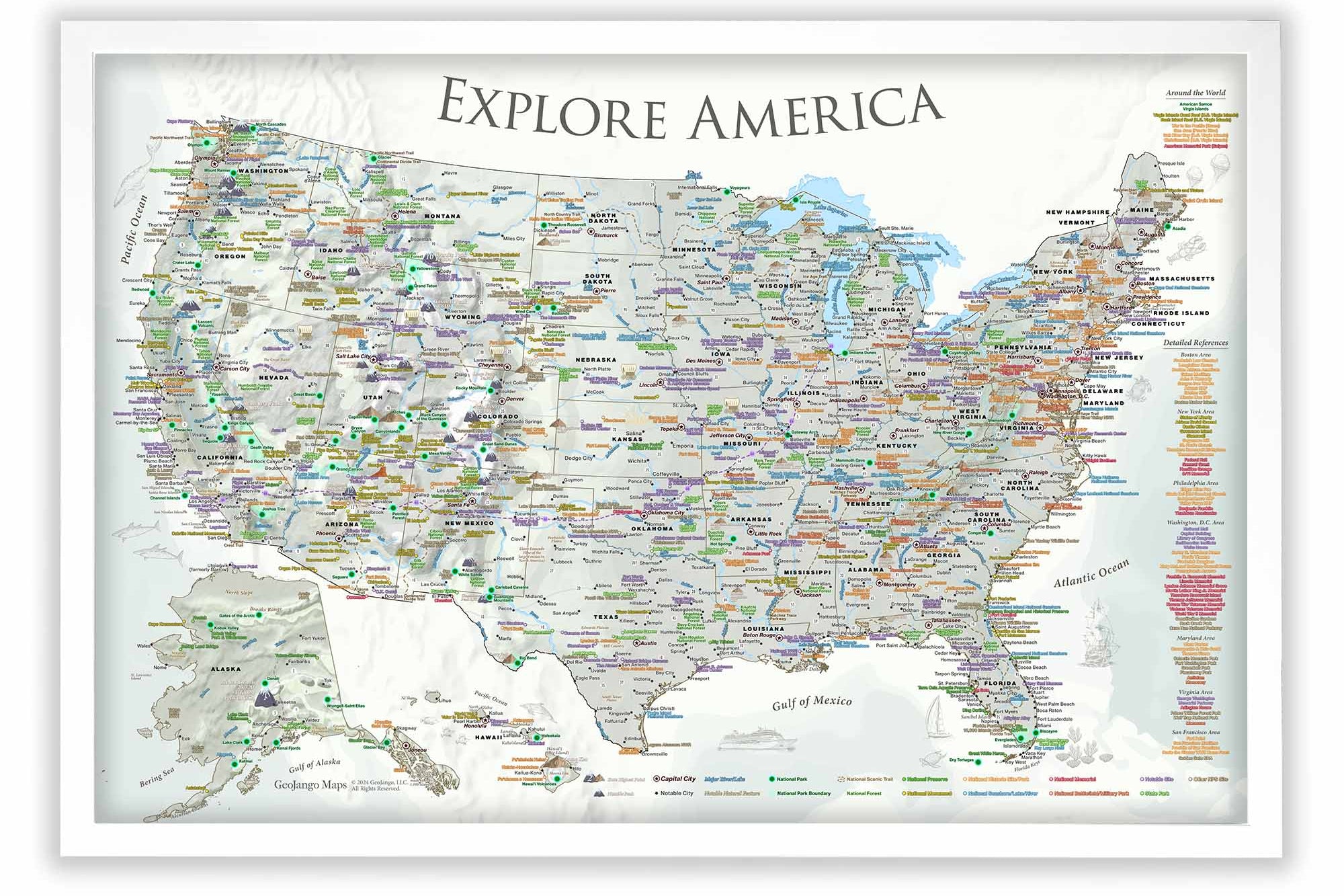
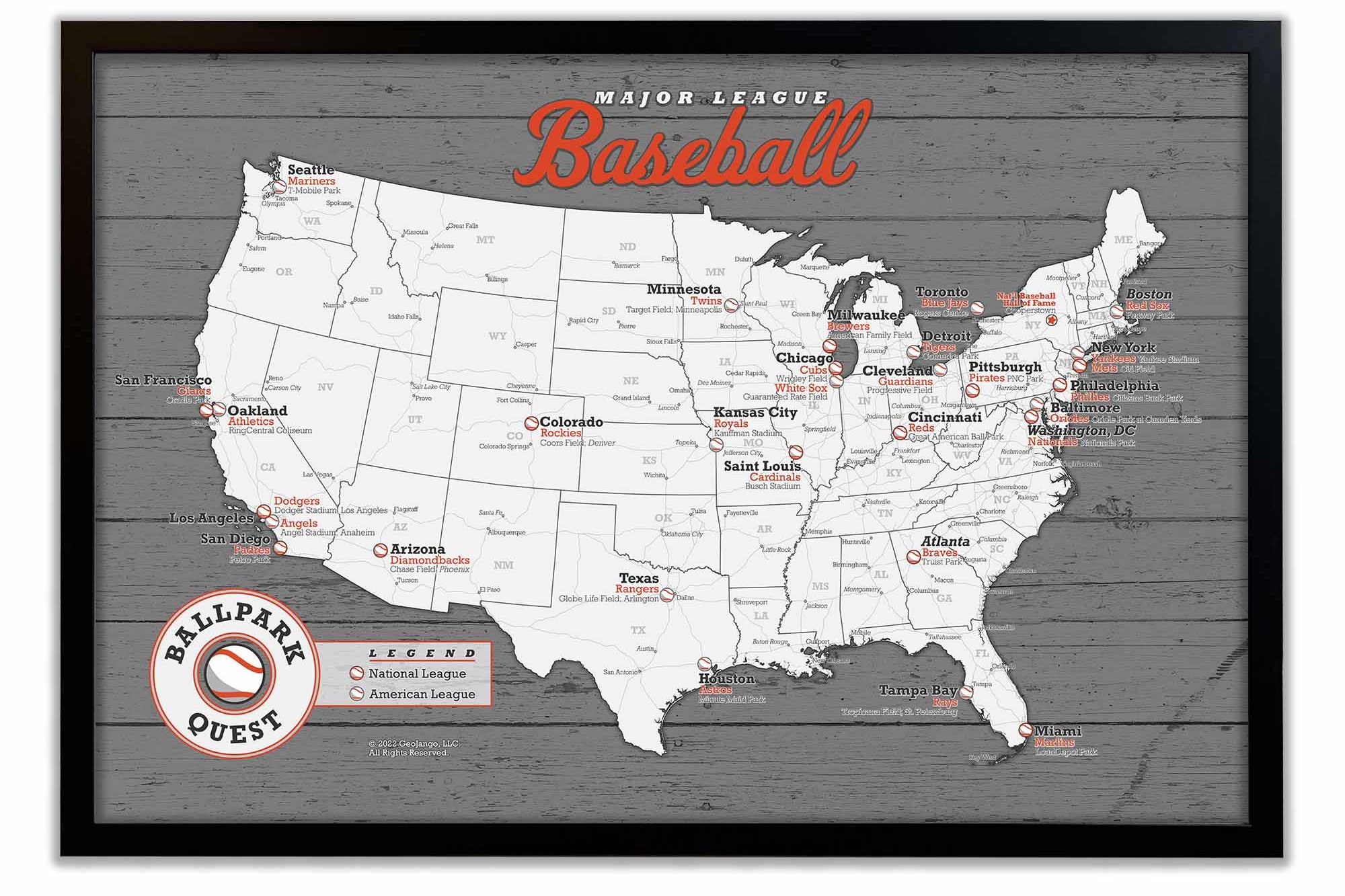
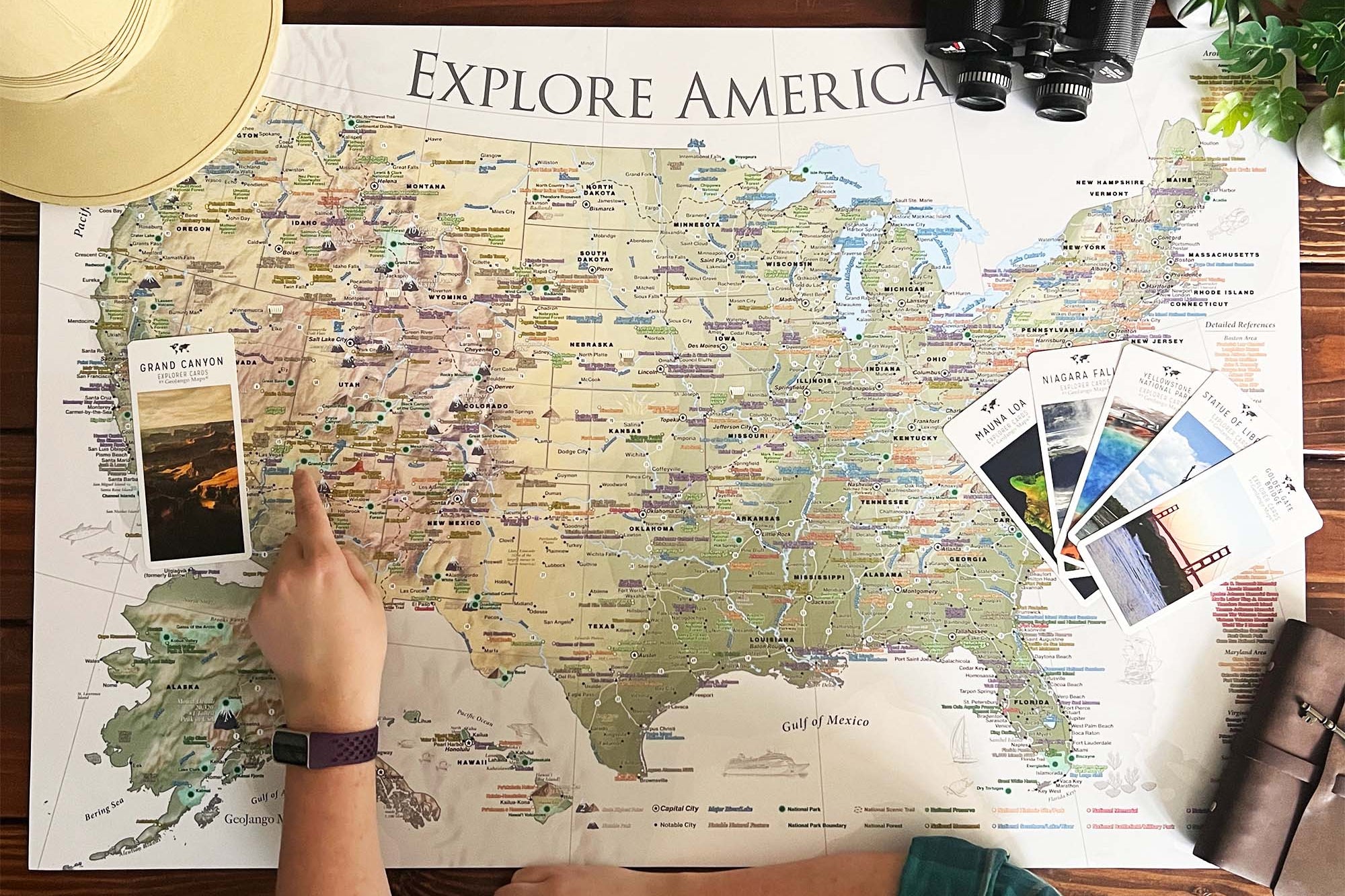
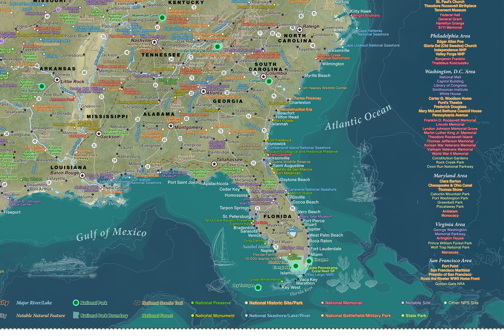
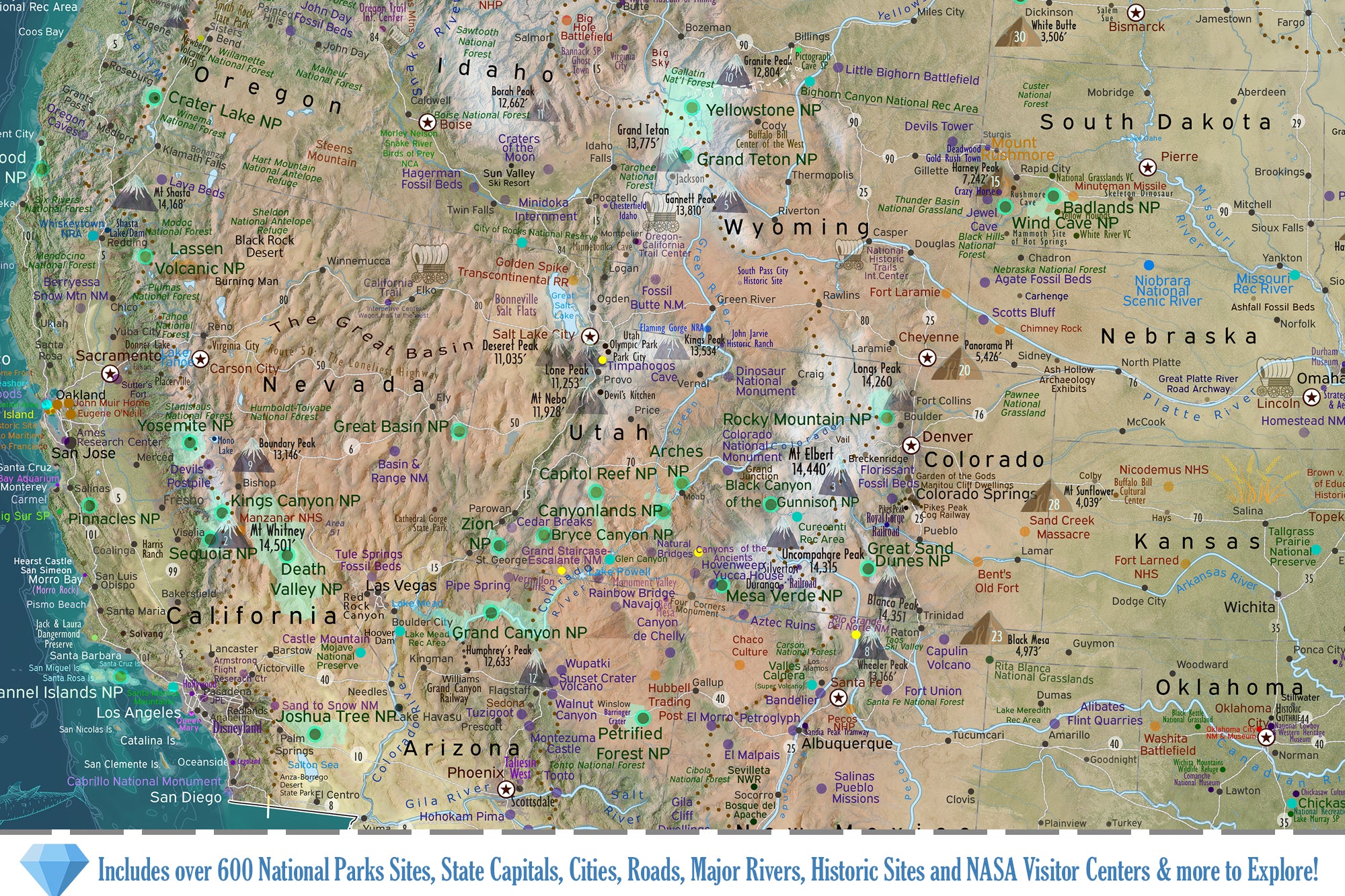
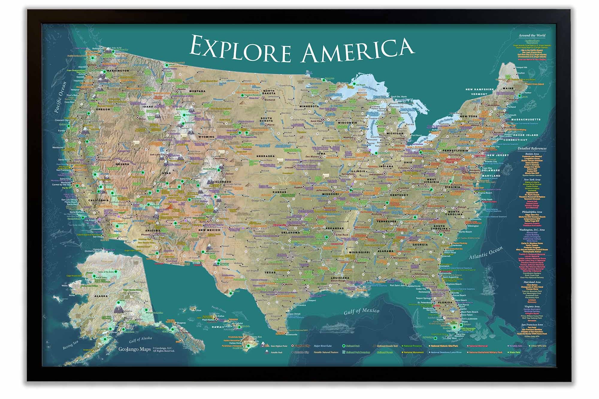
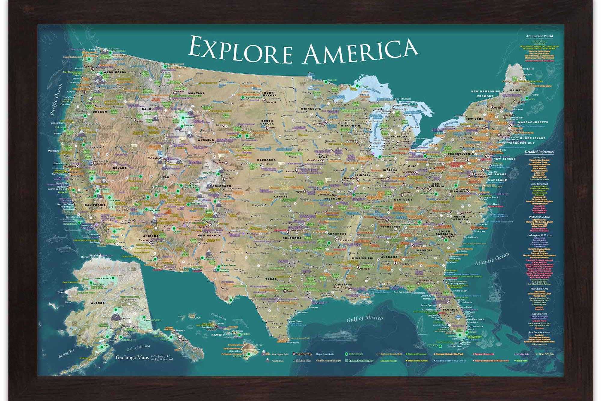
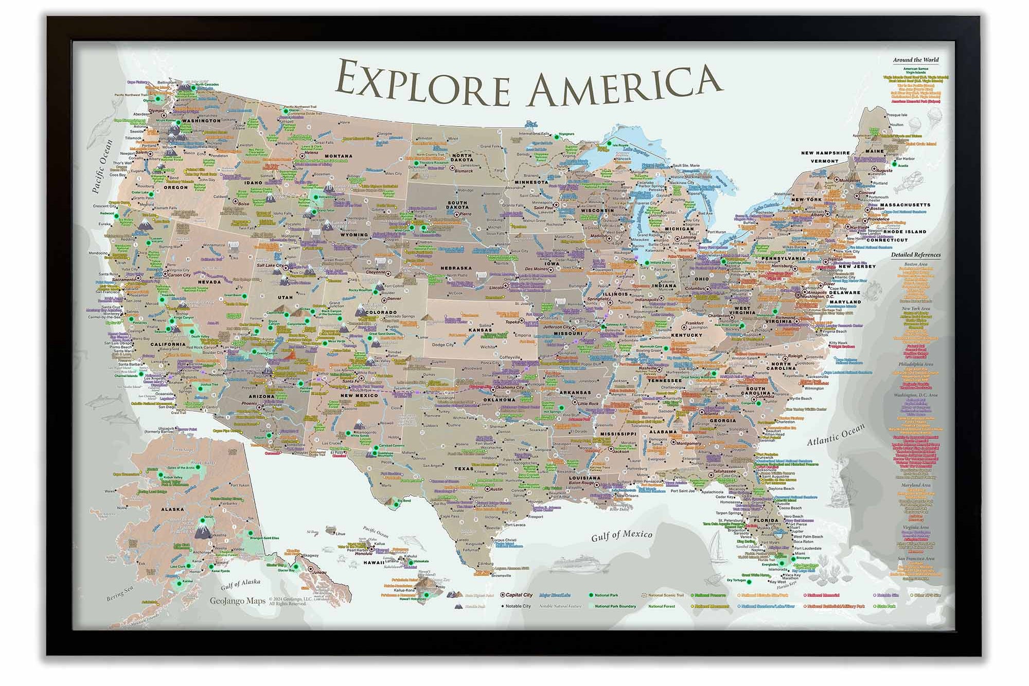
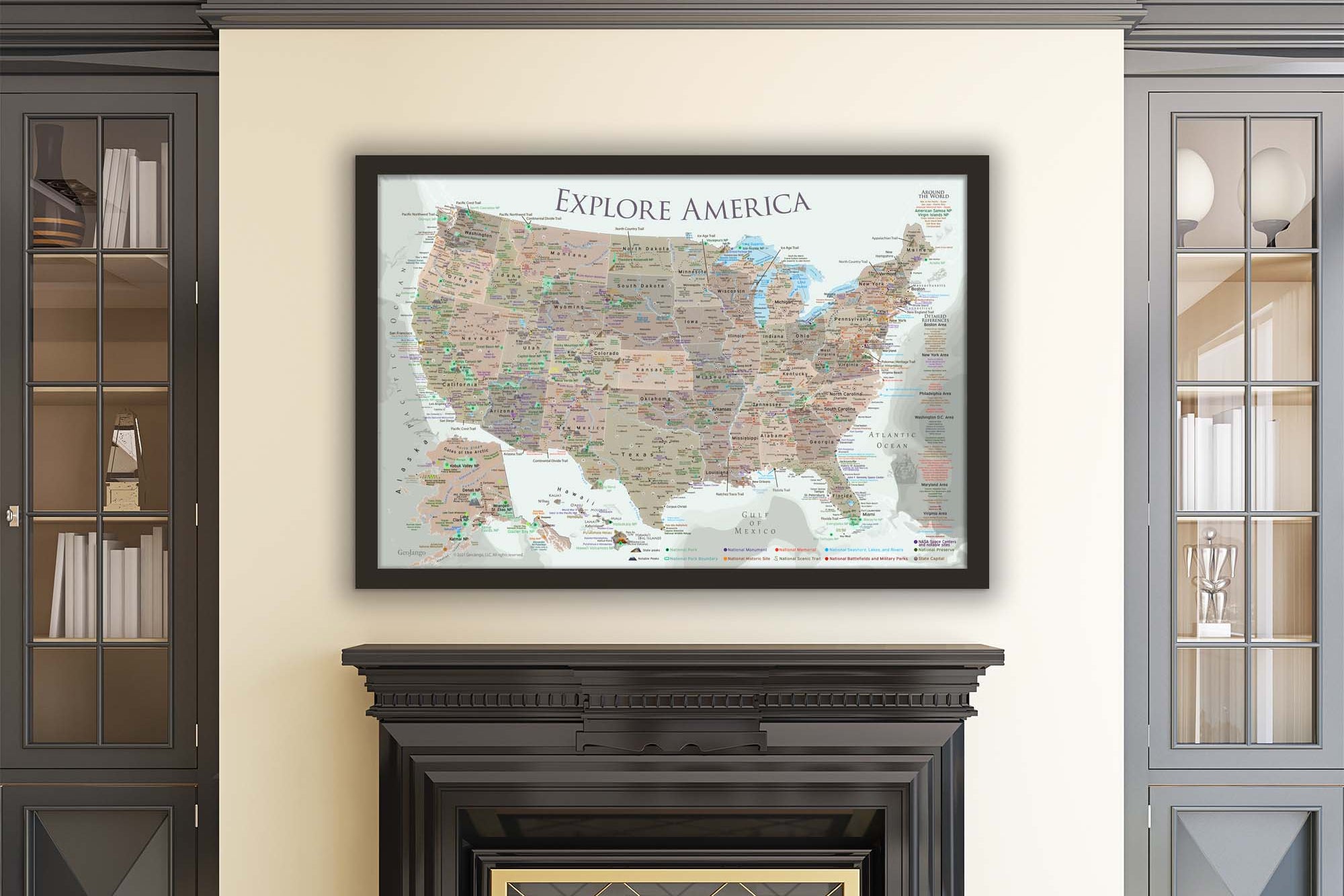
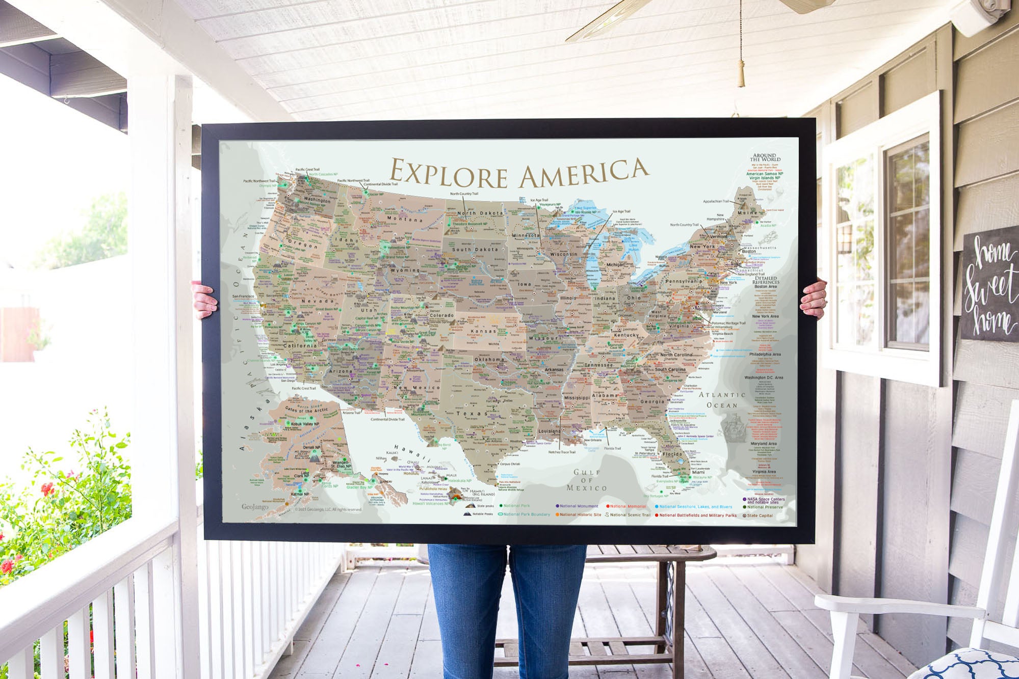
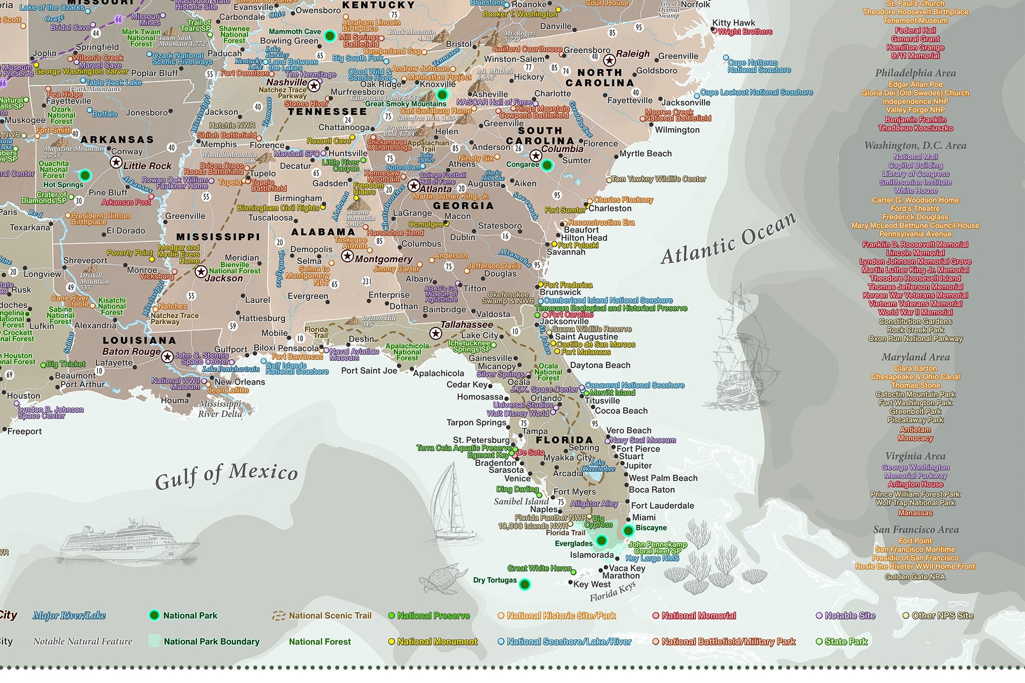
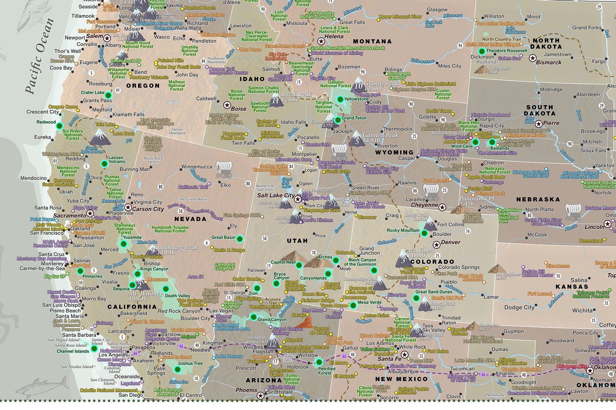
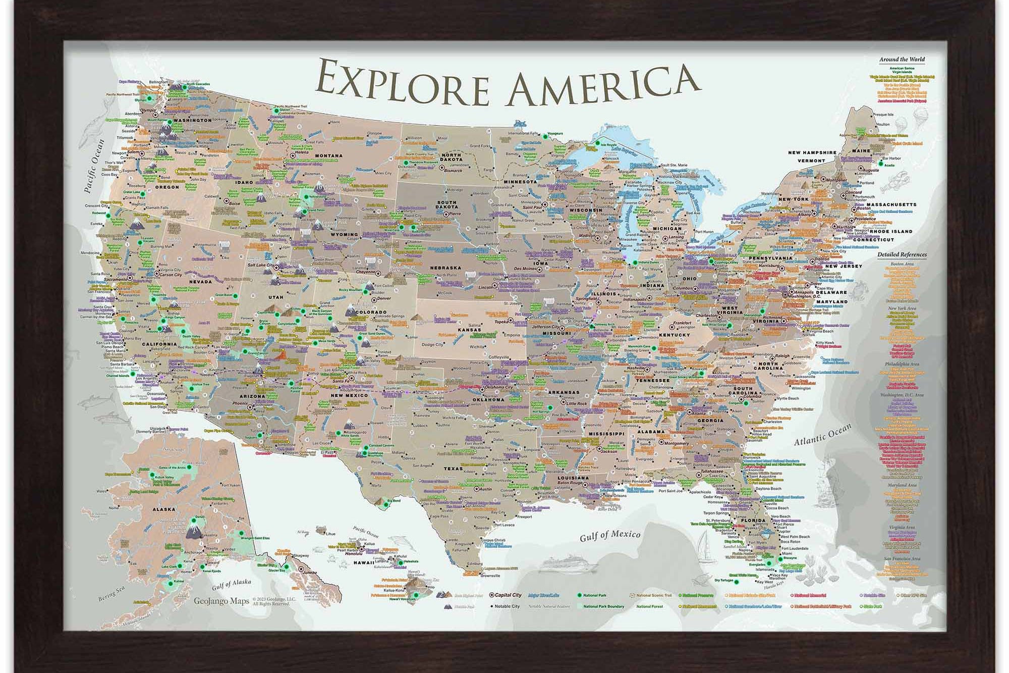
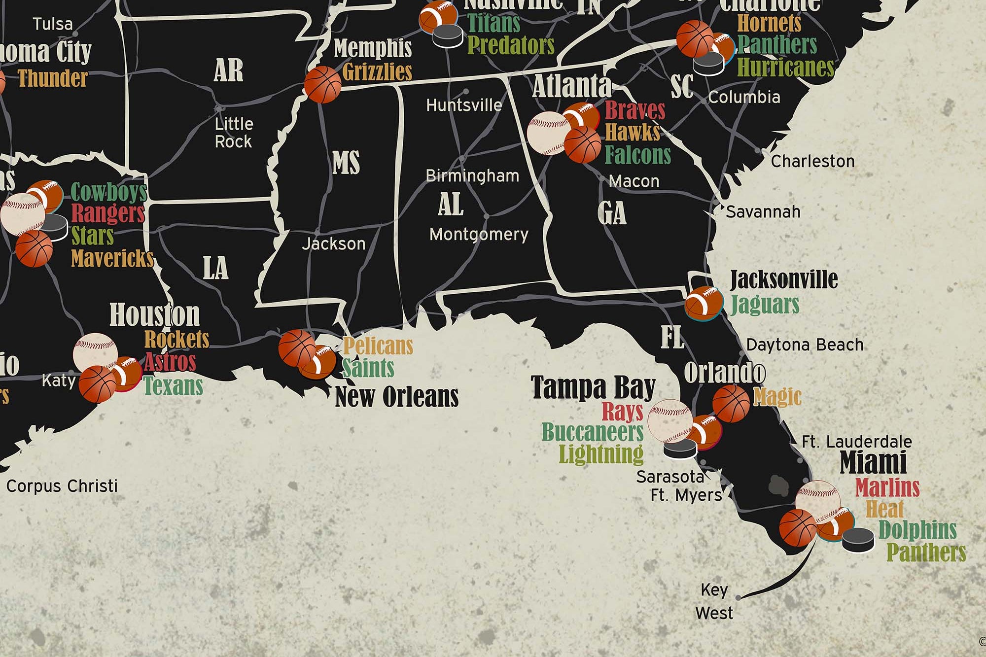
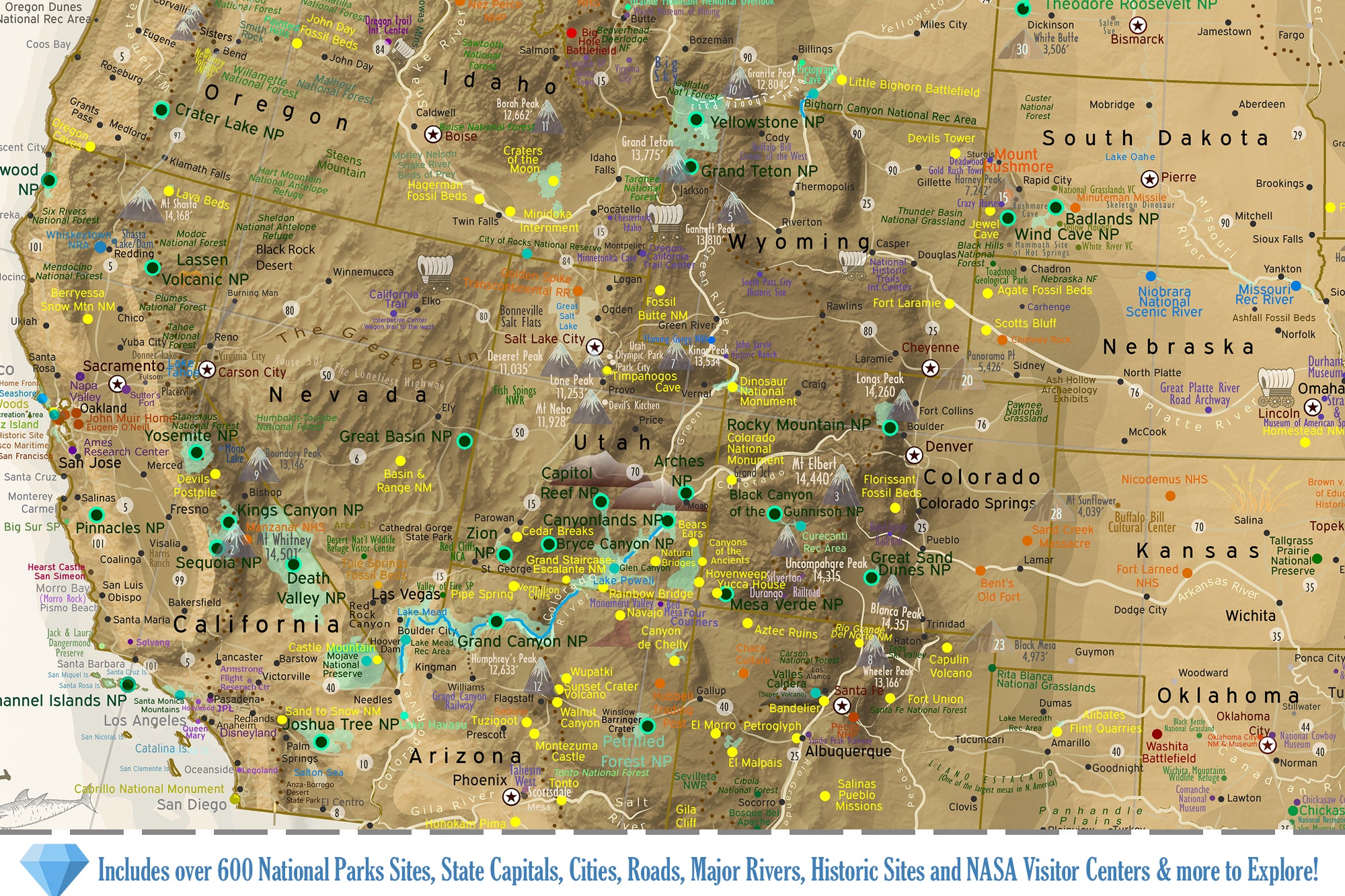
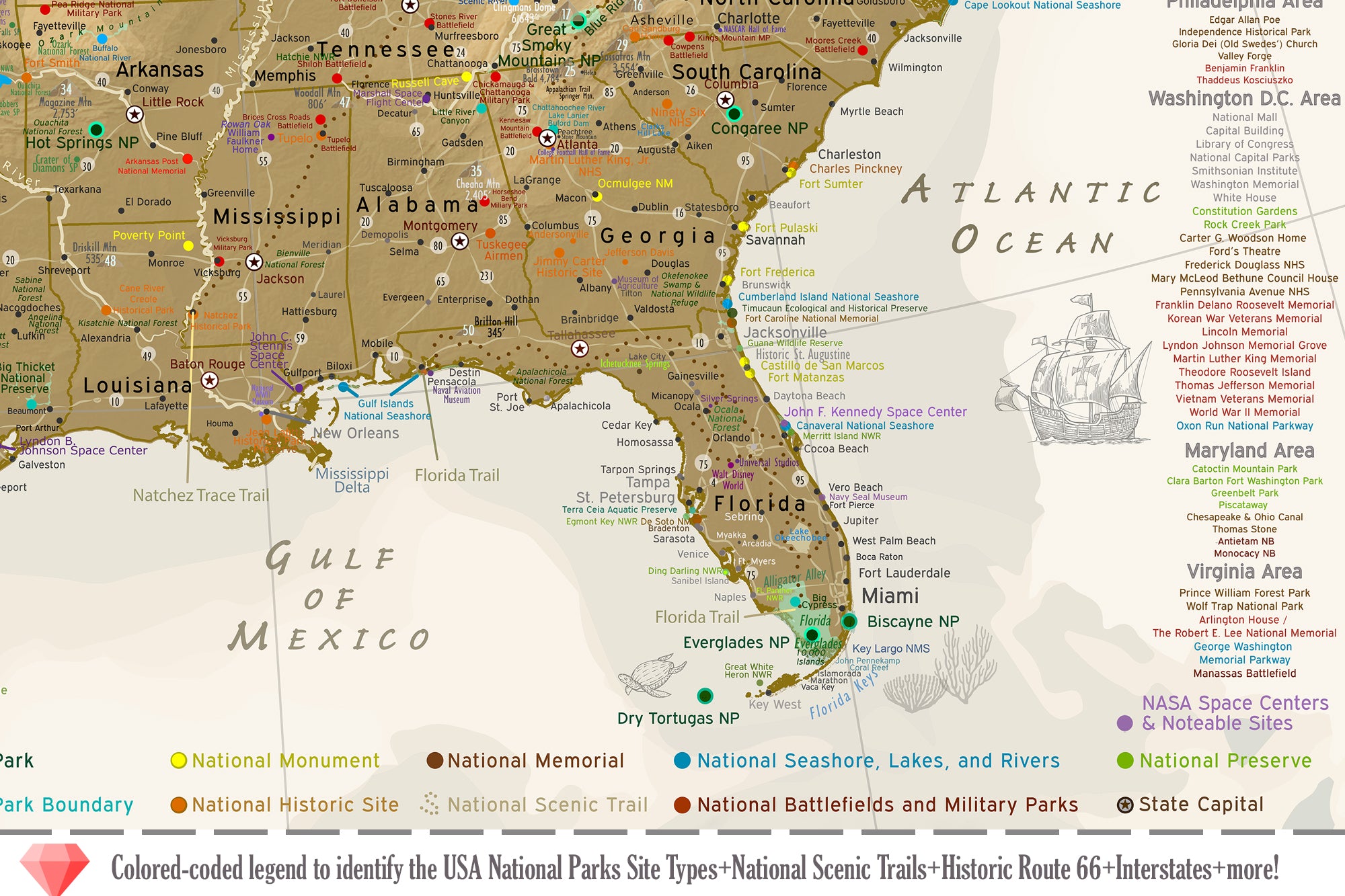
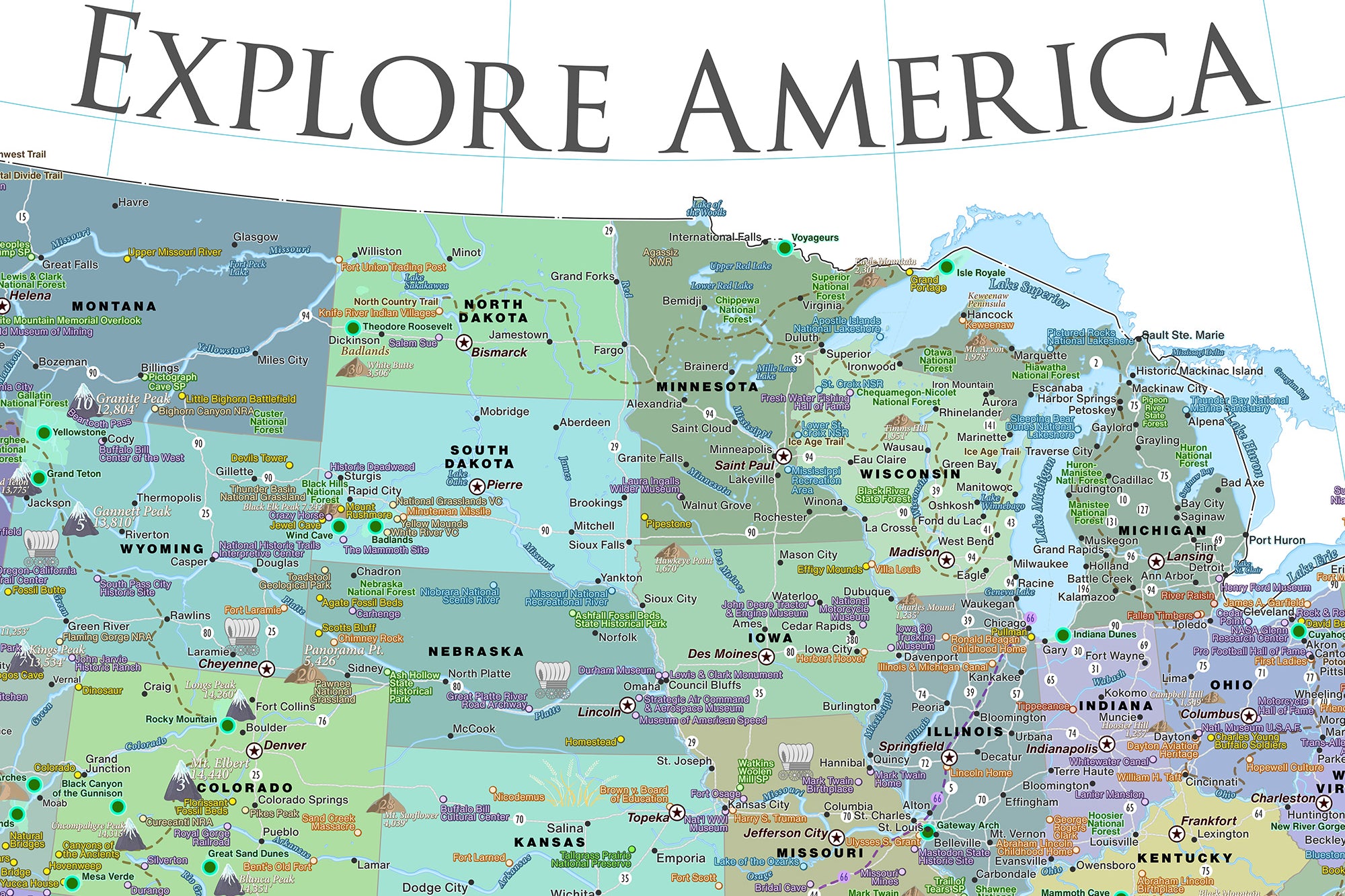
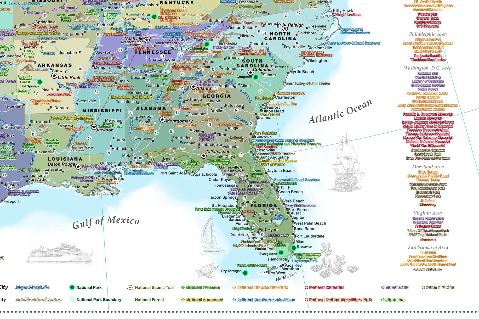
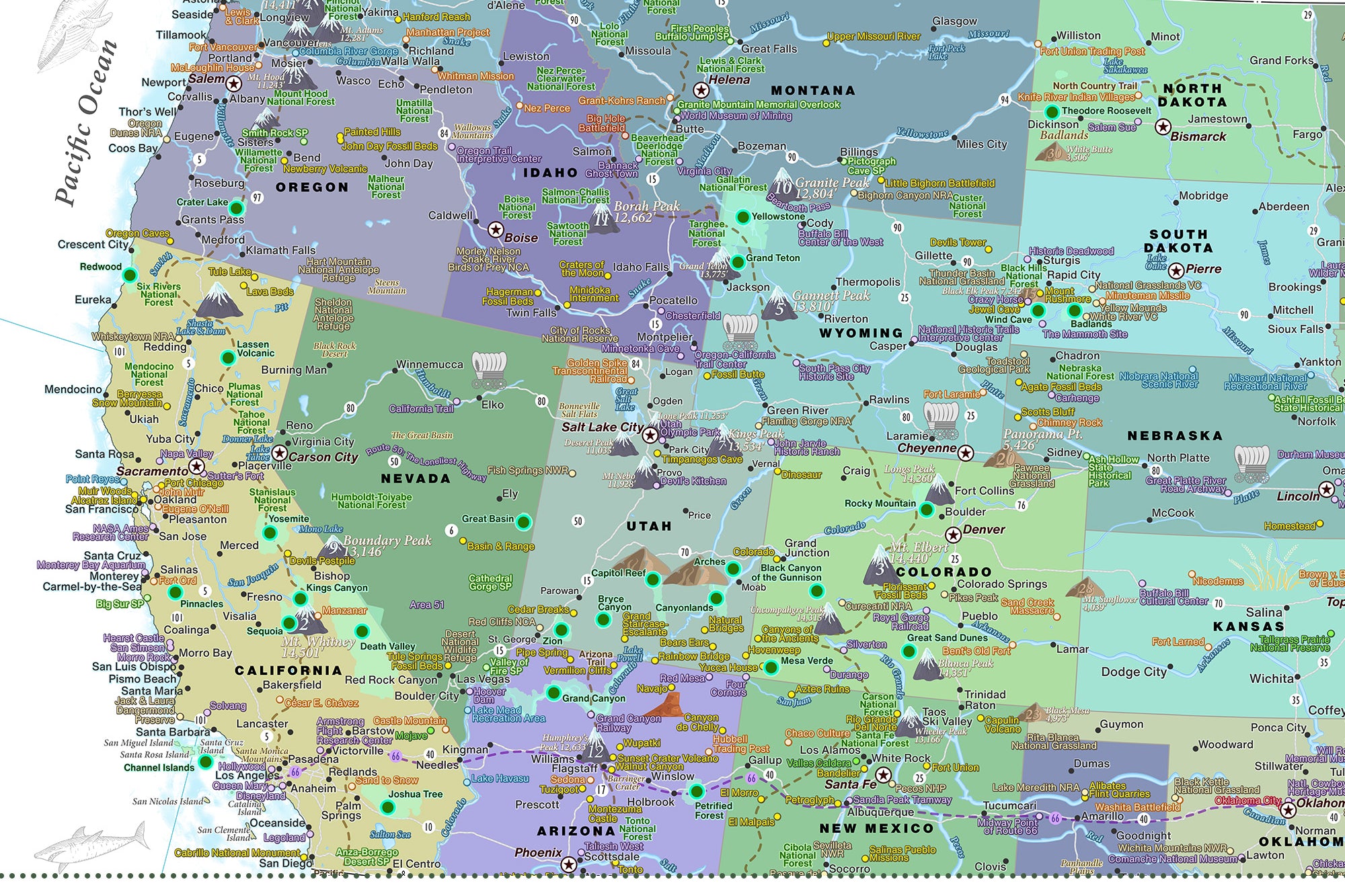
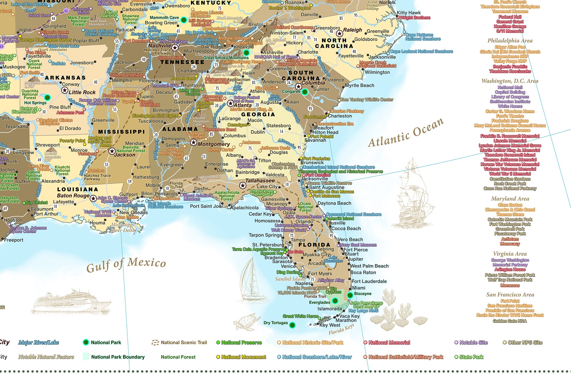
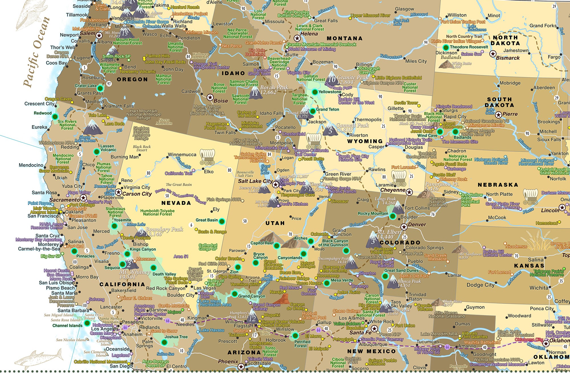
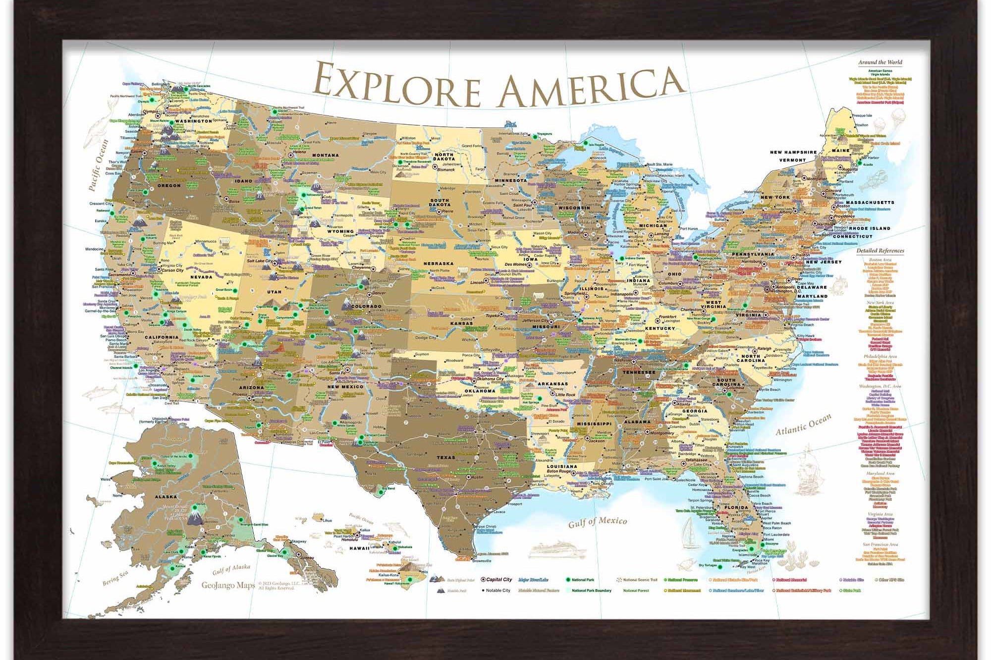
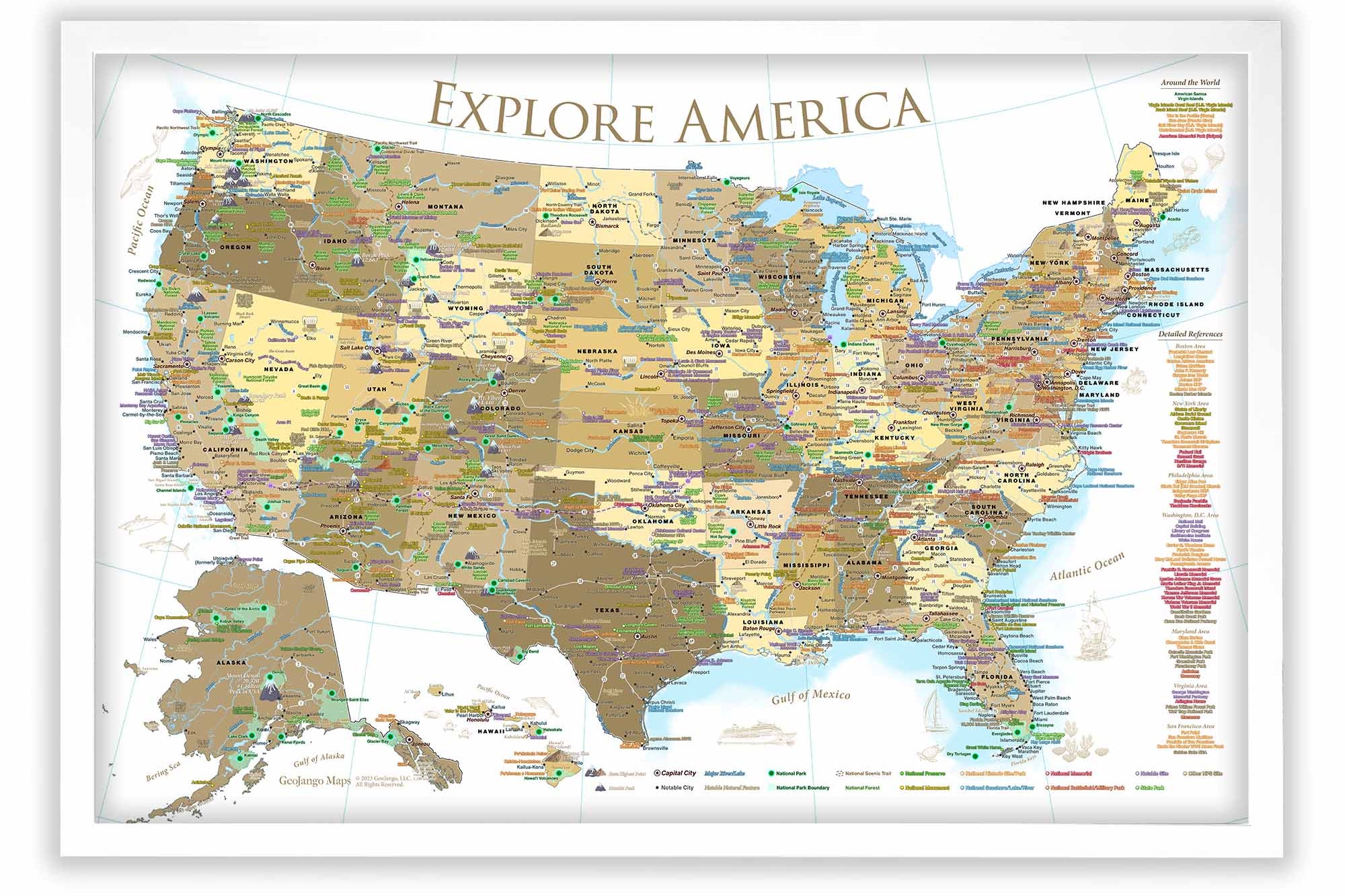
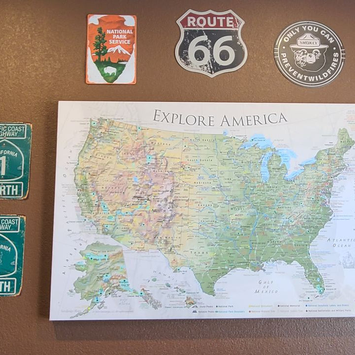
The Voyager, Nautilus, Magellan, and Odyssey World Maps include all 63 USA National Parks (as of 2024). In addition, all of these maps include renowned National Parks in several countries around the world.
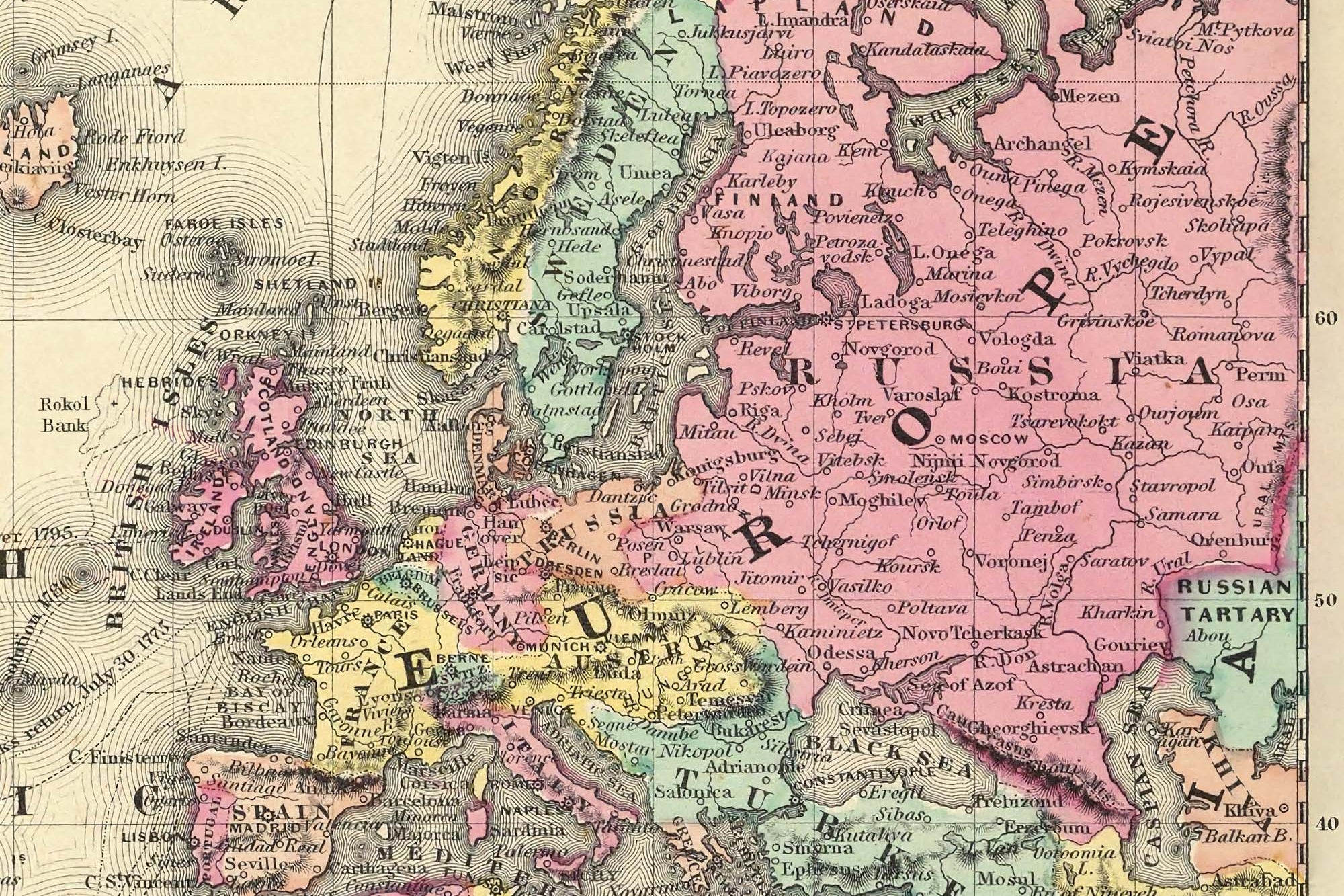
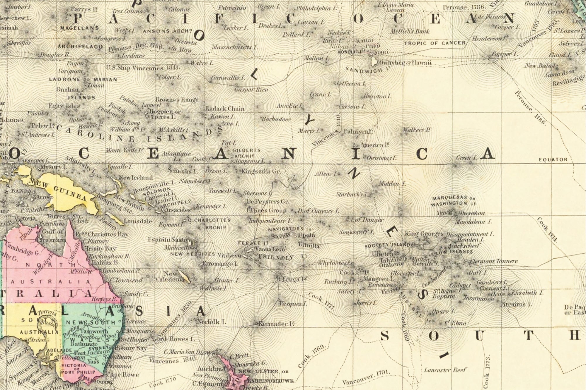
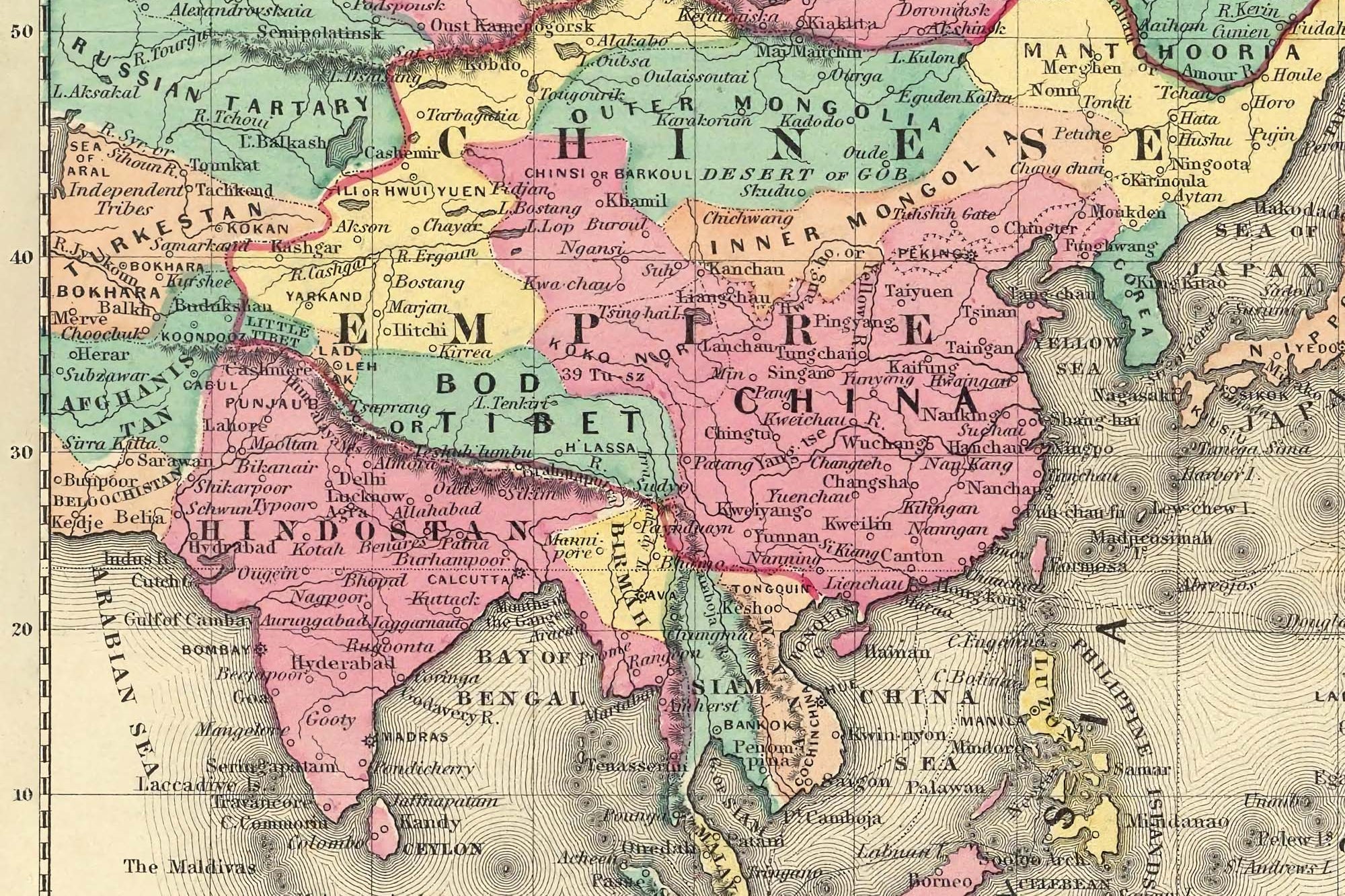
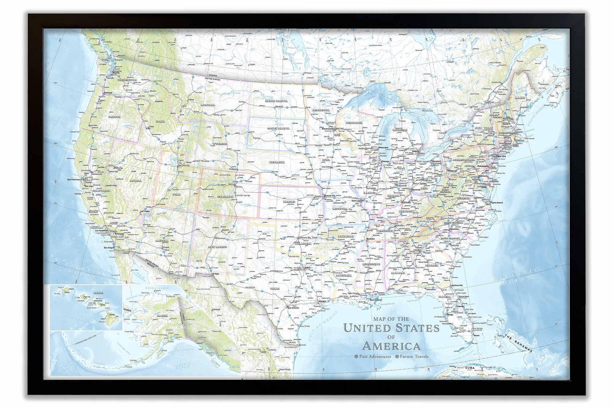
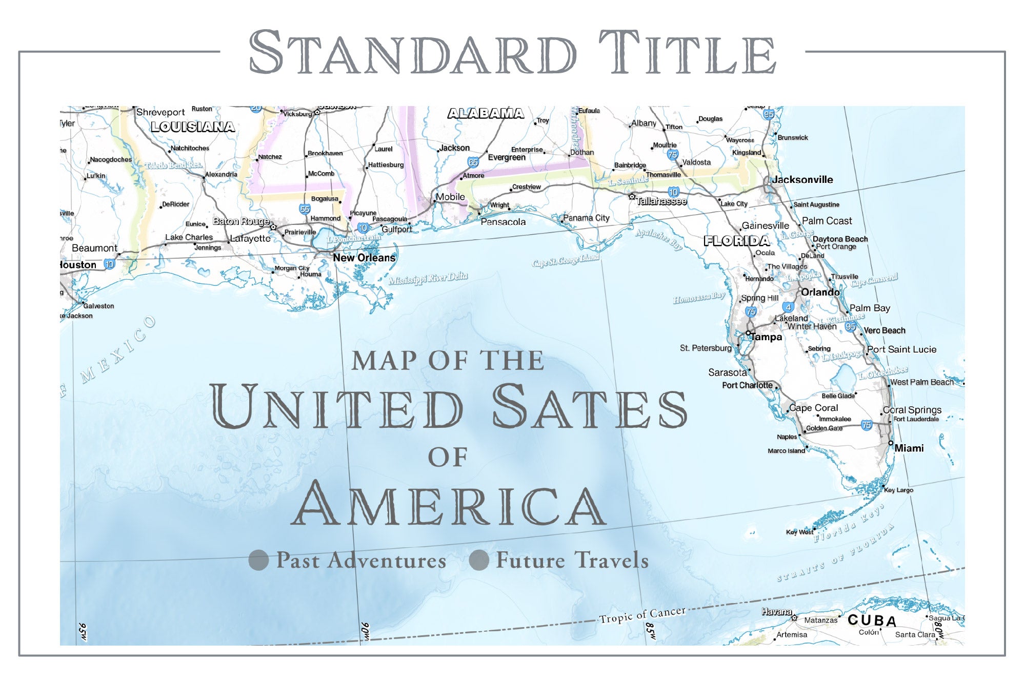
The Endeavor, USS Enterprise, Humboldt, and Columbus World Maps provide a classic look at Earth without terrain modeling. Each of these maps depicts beautiful cartographic styles — from modern, sleek designs to antique-inspired designs that capture the character of old-world maps.
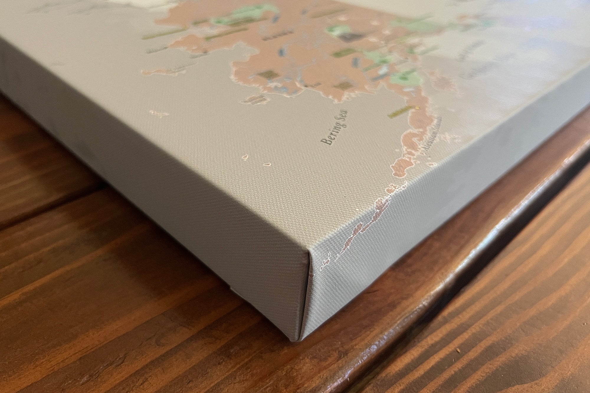
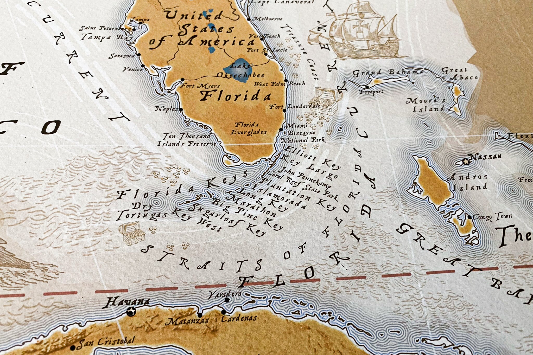
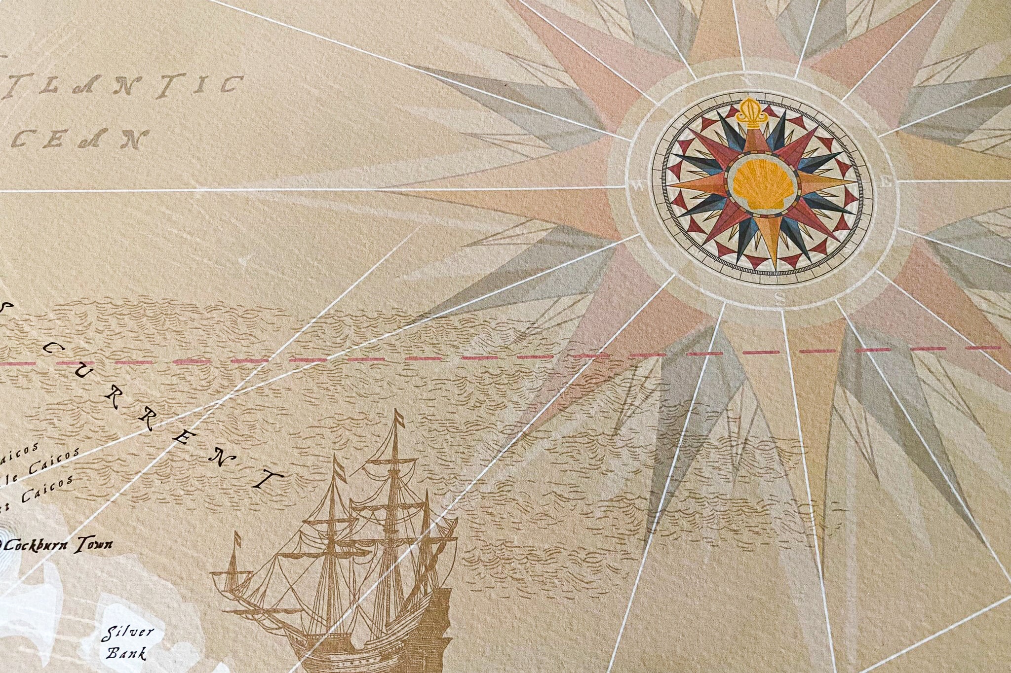
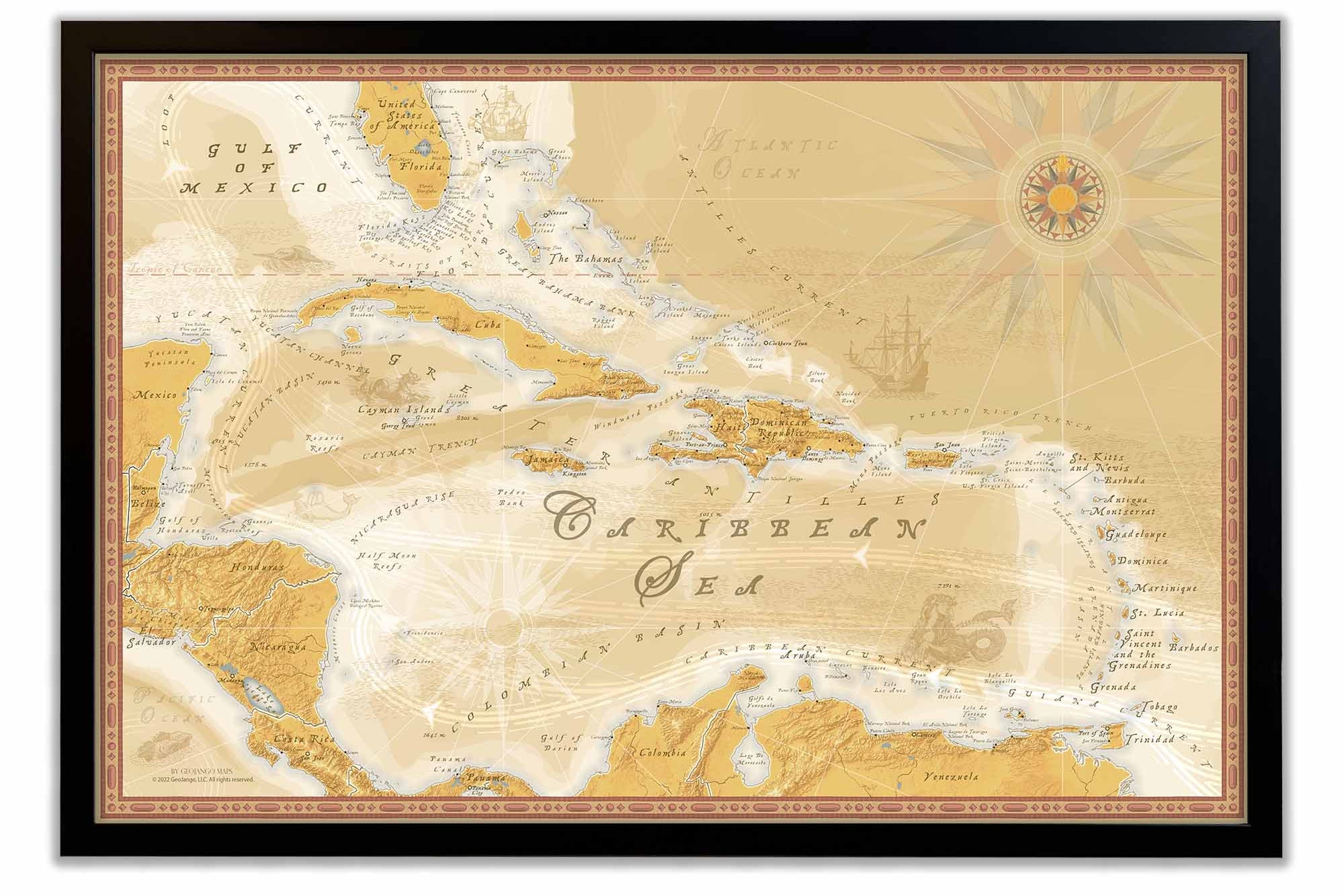
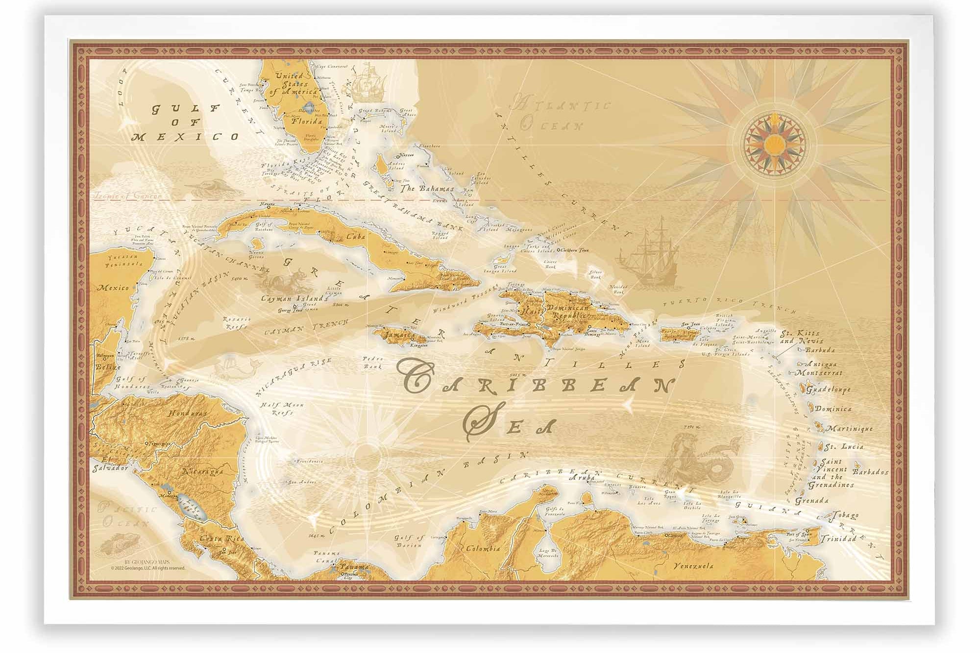
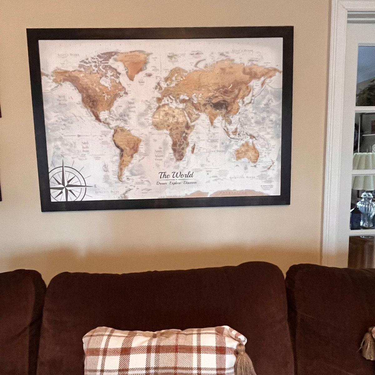
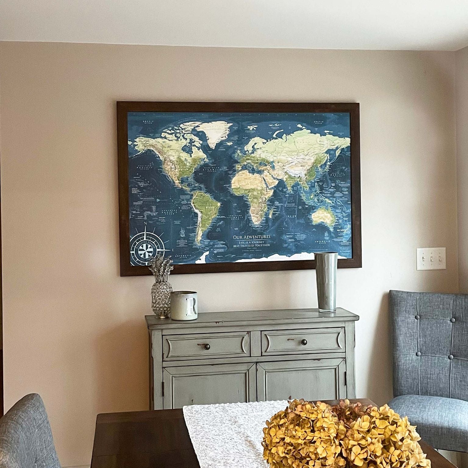
All of our world maps feature our unique ocean floor elevation modeling derived from NOAA oceanic data. This data illustrates the formations of islands, archipelagos, plate tectonics, and ocean currents by displaying the sea floor elevation across the Earth's oceans.